Rapid
MO
USGS gauge location
Big Creek - Hwy.K west of Annapolis to Sam A. Baker State Park (19.2 miles) (MO)
Gauge Conditions
Data from American Whitewater & USGS
Photo
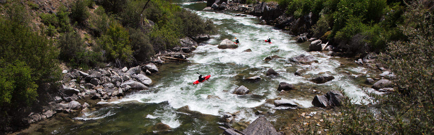
Photo courtesy of American Whitewater
Description
Big Creek's rapids through this section present a mixed technical challenge with numerous rock gardens and small ledge drops requiring precise boat positioning and quick maneuvering. Paddlers should anticipate frequent shallow sections with exposed boulders and potential pin hazards, particularly during low water conditions when route selection becomes critical. Local knowledge of water levels and seasonal flow variations is recommended for safe navigation.
Location
Other Rapids on This Run (3)
View Full Run
Hwy.K west of Annapolis to Sam A. Baker State Park (19.2 miles)
Big Creek
I-II
17.9 mi
Current Conditions
5-Day Forecast
Whitewater data from
American Whitewater
American Whitewater