Rapid
WI
USGS gauge
Save this feature with the run it belongs to.
Gauge Conditions
Runnable: 250.0 – 1,000.0 CFS
Almost certainly too low. We need your input to verify correlations. Please add a comment or report.
Data from American Whitewater & USGS
Description
USGS gauge at this site has been active since April, 2021, listing drainage area as 47.4 Sq.Mi., but only 21.6 Sq.Mi. 'contributing area'.
For water year 2024 (Oct.2023-Sept.2024), it lists on June 19th) peak flow hit 4,210 cfs! However, he "10% flow" is only 21.3 cfs. (I.E., flow only exceeds 21.3 cfs 10% of the time.)
Location
Interactive river map
Loads as you approach this section.
Other Rapids on This Run (12)
Rapid
N/A
Beartrap Ck.Gauge
Rapid
N/A
N.Fish Ck.Gauge
Rapid
N/A
Whittlesey Ck.Gauge
 Rapid
N/A
Rapid
N/A
Put In
 Rapid
II
Rapid
II
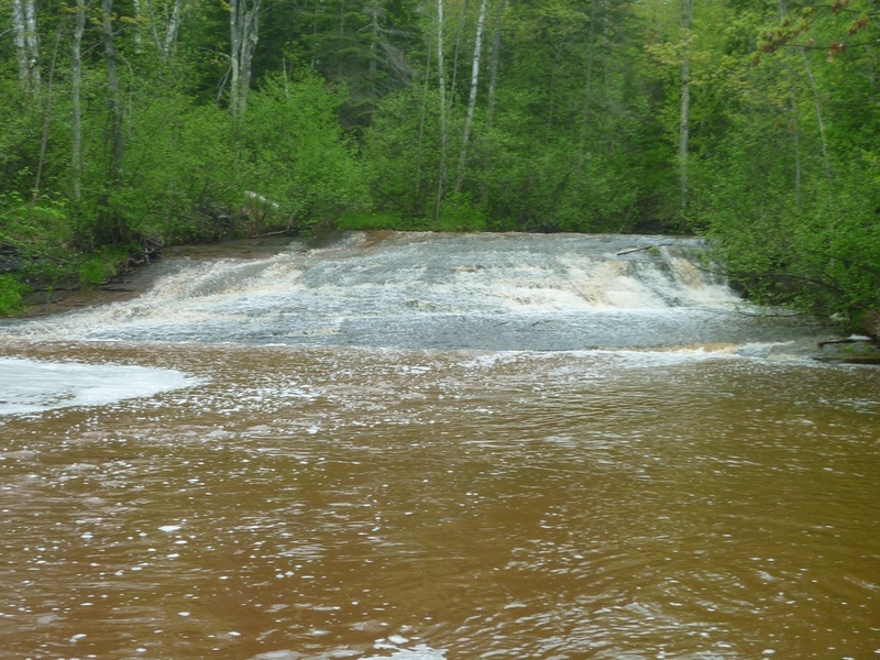
First Slide
 Rapid
II
Rapid
II
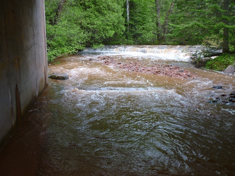
Ledge
 Rapid
II+
Rapid
II+
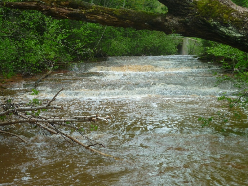
Little-Steps (Second Slide)
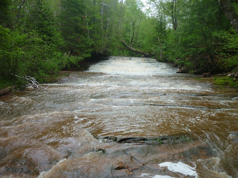 Rapid
III
Rapid
III
Third Slide
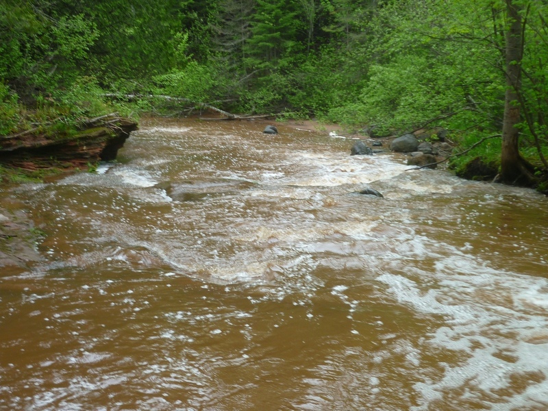 Hazard
N/A
Hazard
N/A
Undercut
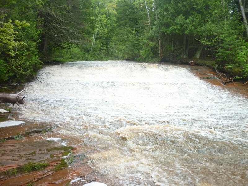 Rapid
III+
Rapid
III+
Big Steps (Fourth Slide)
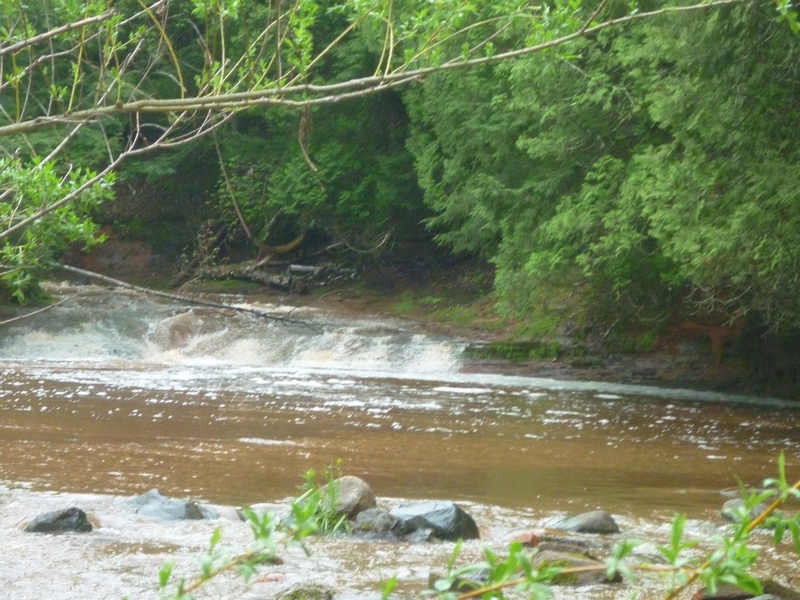 Rapid
II+
Rapid
II+
Fourth Slide Runout
 Rapid
N/A
Rapid
N/A
Take Out
View Full Run
Siskiwit Falls (PnH, 0.25 mile)
Siskiwit
II-IV
0.2 mi
Current Conditions
5-Day Forecast
Whitewater data from
American Whitewater
American Whitewater