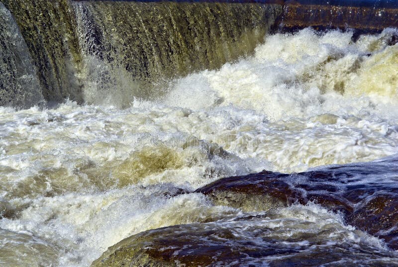
Rapid
MN
USGS sampling site
Save this feature with the run it belongs to.
Gauge Conditions
Runnable: 200.0 – 2,000.0 CFS
Likely less than 45 cfs; likely way to low for any reasonable run.
Data from American Whitewater & USGS
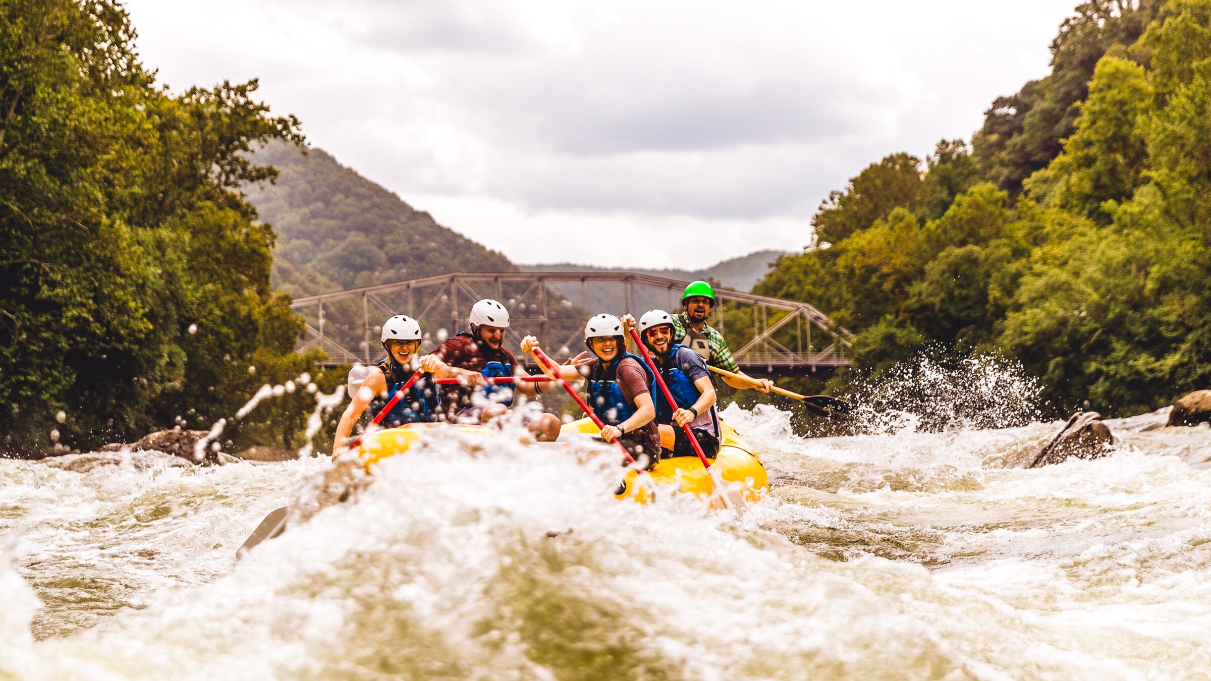
Photo
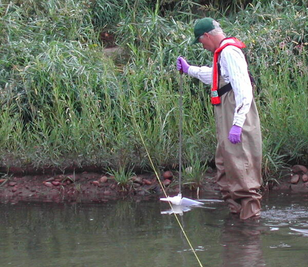
Photo courtesy of American Whitewater
Description
A USGS sampling site at Hwy.61 lists drainage as 53 square miles. (This is downstream of the confluence with the Amity, with drainage of 16 square miles, which puts the Lester about 37 sq.mi. above that confluence.)
Location
Interactive river map
Loads as you approach this section.
Other Rapids on This Run (2)
View Full Run
Lester River Rd. to Superior St. (1.5 miles)
Lester
IV-V
1.7 mi
Current Conditions
5-Day Forecast
Whitewater data from
American Whitewater
American Whitewater