How's Your
River
×
Explore
Explore Map
Water Bodies
Gauges
Access Sites
Tidal Stations
Whitewater
Pricing
Login
Sign Up
Hazard Warning:
Hazard information may be user-submitted and unverified. Conditions change frequently. Always scout rapids and obstacles yourself.
Whitewater
Tennessee
Wildcat Creek (Tellico Tributary) - Source to Tellico River
V8
Hazard
TN
Class IV+
V8
Wildcat Creek (Tellico Tributary) - Source to Tellico River (TN)
Monitor this Rapid
Water Body
This Run
Map
Other Rapids
Gauge
Weather
Directions
Gauge Conditions
Tellico River at Tellico Plains, TN
Downstream
Primary
Runnable: 5.0 – 7.0 FT
Data from
American Whitewater
&
USGS
Photo
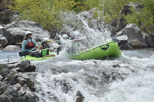
Photo courtesy of
American Whitewater
Description
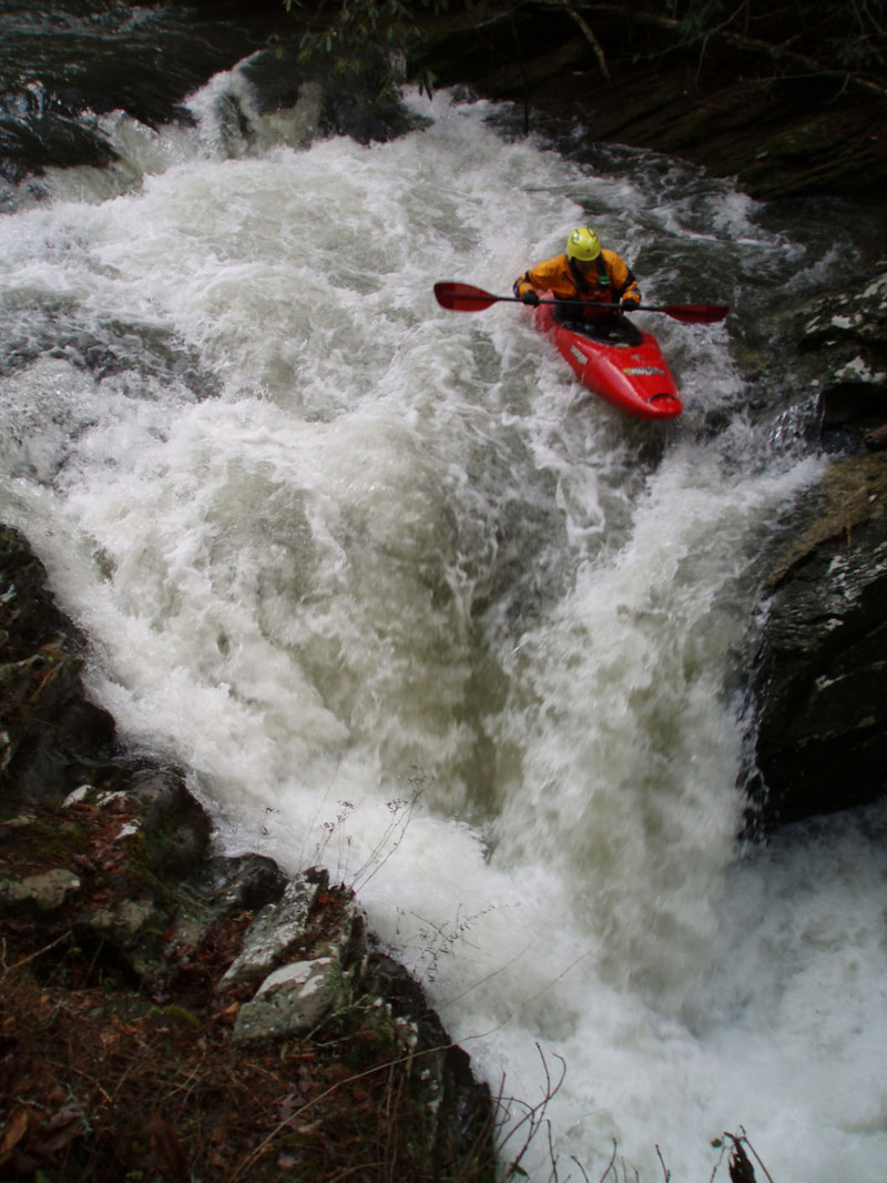
This rapid is 100 feet long and virtually unportageable. Its possible, but you will want to run it unless it is full of wood. Unique spot for sure.
Location
Radar
Counties
Cell
Verizon
AT&T
T-Mobile
Dark
Satellite
Terrain
Other Rapids on This Run (4)
Rapid
Putin
0.0 mi
Waterfall
IV+
Reconnection
2.3 mi
Waterfall
IV+
The Icing
3.8 mi
Rapid
N/A
Take Out
4.0 mi
Type
Hazard
Difficulty
Class IV+
Mile Marker
2.1 mi
Directions
Navigate
View Full Run
Source to Tellico River
Wildcat Creek (Tellico Tributary)
III-IV+
2.6 mi
Hazard
— Exercise extreme caution in this area.
Current Conditions
5-Day Forecast
Whitewater data from
American Whitewater
V8