Take-out
WA
Verlot Campground Take Out
Save this feature with the run it belongs to.
Gauge Conditions
Data from American Whitewater & USGS
Description
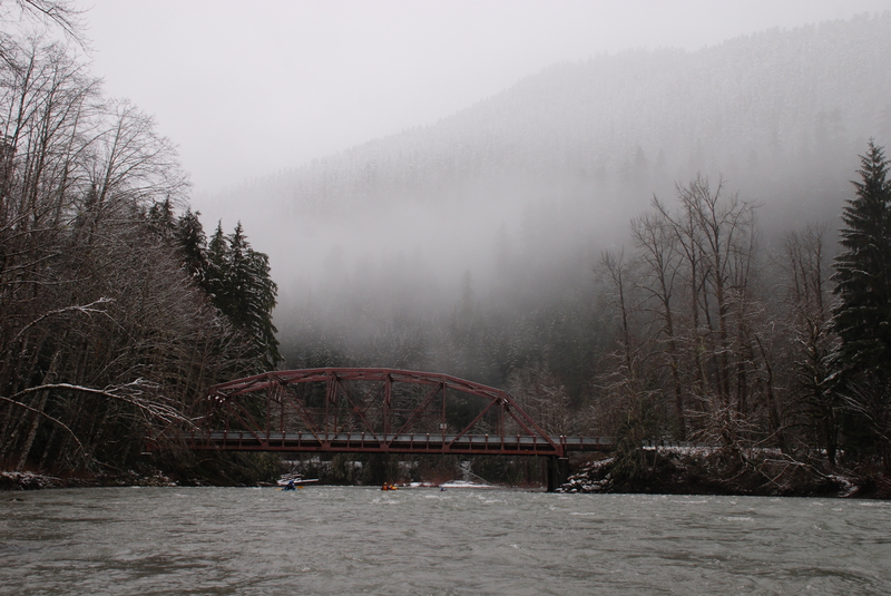
Although the gate to the campground is tpyically locked during the winter and spring paddling season, you will find good beach access (if the water is not too high). It's a short walk from the campground, across a footbridge, and down a short trail to the parking area across the street from the Verlot Ranger Station.
Location
Interactive river map
Loads as you approach this section.
Other Rapids on This Run (3)
View Full Run
2 - Mallardy Creek to Verlot (Middle)
Stillaguamish, S. Fork
III+
8.4 mi
Current Conditions
5-Day Forecast
Whitewater data from
American Whitewater
American Whitewater