VT Side
Save this feature with the run it belongs to.
Gauge Conditions
Data from American Whitewater & USGS
Photo

Photo courtesy of American Whitewater
Description
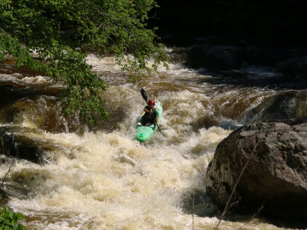
The ledge to the right of the large island drops all at once, and is shorter but more difficult. At certain levels, there are good boof spots here.
Location
Interactive river map
Loads as you approach this section.
Other Rapids on This Run (3)
View Full Run
Sumner Falls
Connecticut
I-III
1.9 mi
Current Conditions
5-Day Forecast
Whitewater data from
American Whitewater
American Whitewater