Rapid
VA
Waterloo, Old Bridge Rd. - River Access
Save this feature with the run it belongs to.
Gauge Conditions
Data from American Whitewater & USGS
Photo
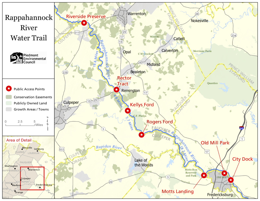
Photo courtesy of American Whitewater
Description
The Waterloo river access provides entry to a stretch of the Rappahannock with potential varied water conditions near the Jordan River confluence. Local paddlers should scout water levels and potential obstacles, as the access point appears to offer a transition zone between different river characteristics. No specific rapid features are definitively documented, so careful river reading and local knowledge are recommended.
Location
View Full Run
1. Route 647 (near confluence with Jordan R.) to Route 211
Rappahannock
I-II
14.0 mi
Current Conditions
5-Day Forecast
Whitewater data from
American Whitewater
American Whitewater