Rapid
WI
Whitnall Park Drive, midway crossing
Save this feature with the run it belongs to.
Gauge Conditions
Runnable: ? – ? CFS
Approximate - nearest available gauge. Use as general reference only.
Data from American Whitewater & USGS
Description
A north/south connector street crosses the creek midway through the park. Upstream of this crossing, a massive accumulation of woody debris blocks the channel so thoroughly that flow diverts briefly around it (to the left) before rejoining the regular channel. Just downstream, additional (lesser amounts) of blockage also occur. There is no parking along this connecting street, so the only way to have a look here is to park in a lot elsewhere in the park and take a long walk through the woods along the creek.
Location
Interactive river map
Loads as you approach this section.
Other Rapids on This Run (10)
Rapid
N/A
Put-in (only theoretical)
Rapid
N/A
Put-in: W.Ben Hunt Cabin (Historical Site)
Rapid
N/A
Stats
Rapid
N/A
Confluence and two bridges
Rapid
N/A
Plaza Spill Dam
Rapid
N/A
S.108 Street / Whitnall Park
Rapid
I+
Whitnall Park Triangle
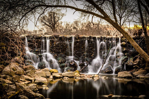 Waterfall
III+
Waterfall
III+
First Whitnall Park Dam
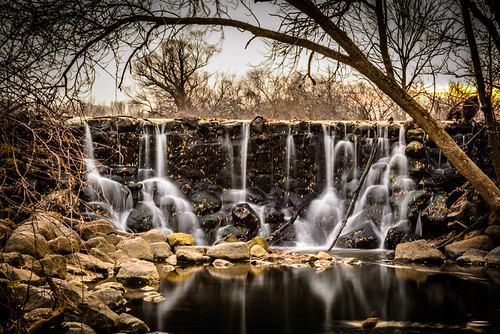 Waterfall
III+
Waterfall
III+
Second Whitnall Park Dam
Rapid
N/A
Take out
View Full Run
116th and Janesville Road to S.92nd Street (0.72 mi.)
Whitnall Park Creek
I-II(IV)
2.2 mi
Current Conditions
5-Day Forecast
Whitewater data from
American Whitewater
American Whitewater