Rapid
MI
Zig-Zag Snag
Save this feature with the run it belongs to.
Gauge Conditions
Runnable: 100.0 – 1,200.0 CFS
Possibly tame whitewater. *HELP YOUR FELLOW BOATERS BY PROVIDING A COMMENT ABOUT GAUGE READING AND BEST RANGES FOR BOATABILITY*
Data from American Whitewater & USGS
Description
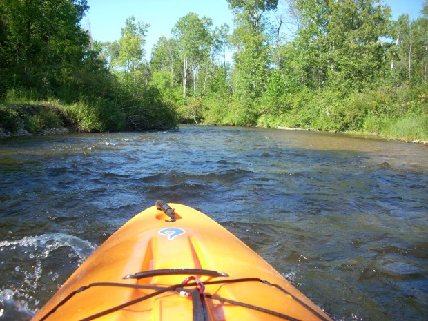
A quick zig-zag of the river, and a VERY likely spot to accumulate deadfall (snags/strainers). Indeed, as of the present aerial/satellite views, there appears to be quite an assortment of wood here. OK, OK, I'll stop pointing out every spot which appears to hold wood. Do not take the lack of detail (from here to our take-out) to in any way imply that there aren't just as many more locations where deadfall, strainers, and snags will be a problem! They will lie just as randomly all the way to our listed take-out.
Location
Interactive river map
Loads as you approach this section.
Other Rapids on This Run (20)
Rapid
N/A
Put In
Rapid
N/A
Possible Put-in?
Rapid
N/A
Alternate Put-in #1
Rapid
N/A
Trowbridge Road
Rapid
N/A
Interstate 75
Rapid
N/A
Trowbridge Road
Rapid
N/A
Freeway Trail
Rapid
N/A
Sturgeon Valley Campground
Rapid
N/A
Possible obstruction/feature?
Rapid
N/A
Nomisteco Rd
Rapid
N/A
Deadfall?
Playspot
N/A
Confluence with West Branch
Rapid
N/A
USGS Gauge: 192 sq.mi.
Rapid
N/A
Deadfall?
Rapid
N/A
Possible Access
Rapid
N/A
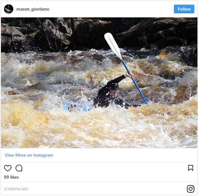
Caught in the act!
Rapid
N/A
Haakwood State Forest Campground
 Rapid
N/A
Rapid
N/A
Rondo Road
Rapid
N/A
North Central State Trailhead
 Rapid
N/A
Rapid
N/A
White Road
View Full Run
Trowbridge Road to Indian River (up to 20.5 miles)
Sturgeon (Cheboygan)
I-II
18.8 mi
Current Conditions
5-Day Forecast
Whitewater data from
American Whitewater
American Whitewater