Access Sites in West Virginia
Find mapped boat ramps, launches, and public water access points across the United States.
1,015
Total Sites
24
Loaded
1
Regions
Map view
Explore nearby access
Pan or zoom to load the sites in view, then open a marker for details and directions.
Interactive access map
Loads after the directory is visible.
Loading...
Navigation Tips
- Zoom in to load more sites in your area of interest
- Click on clusters (numbered circles) to zoom into that area
- Click on individual markers for site details and directions
- Use scroll wheel or pinch to zoom, drag to pan
Directory results
Loaded access sites
The list reflects the current page and can be narrowed with the search field.
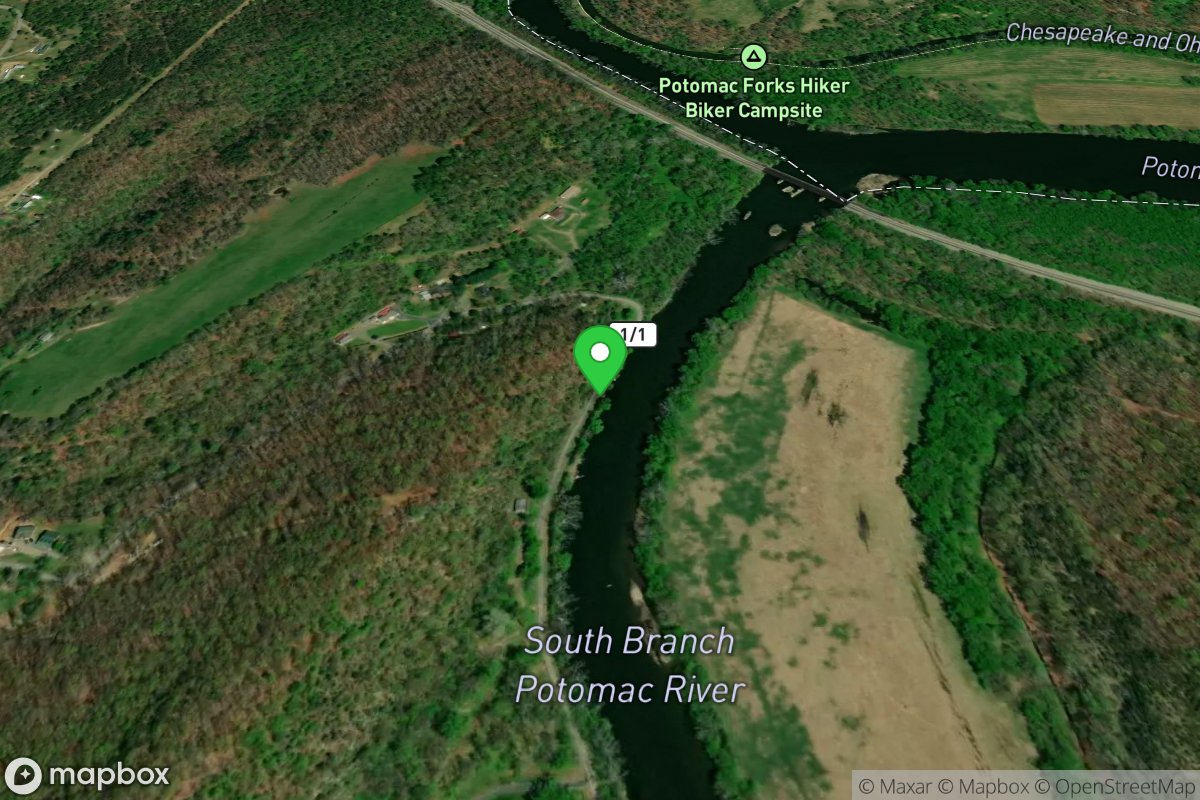
Mouth of South Branch
Access Site
South Branch Potomac River
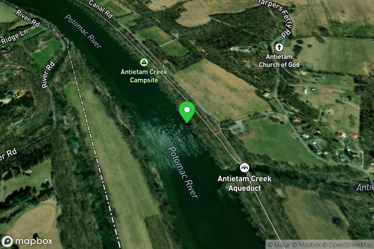
Mouth of the Antietam River Access
Access Site
Potomac
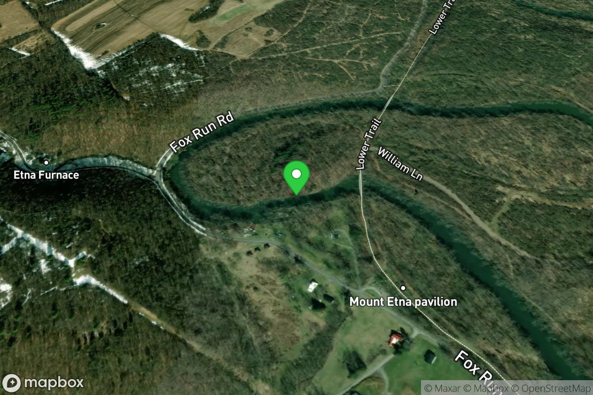
Mt Etna
Access Site
Juniata River - Frankstown Branch
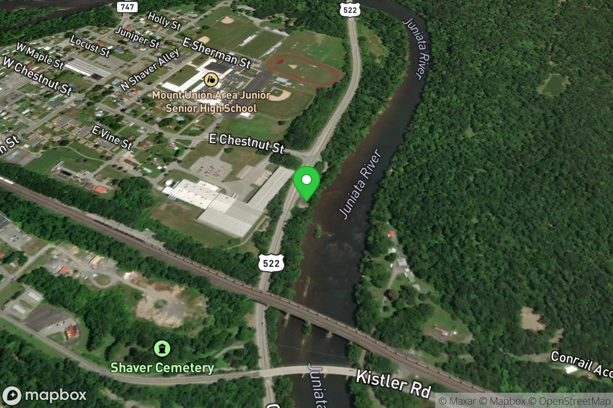
Mt. Union
Access Site
Juniata River
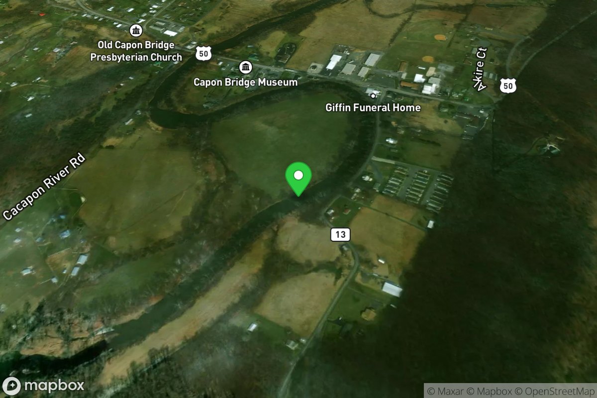
New Christian Church Rd river access - .25 mile upstream from Capon Bridge
Access Site
Cacapon
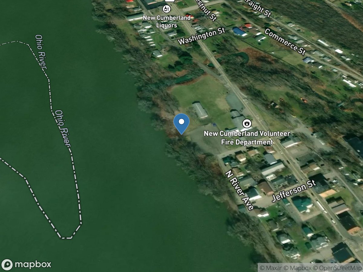
New Cumberland Firefighters Memorial
Access Site
Ohio River
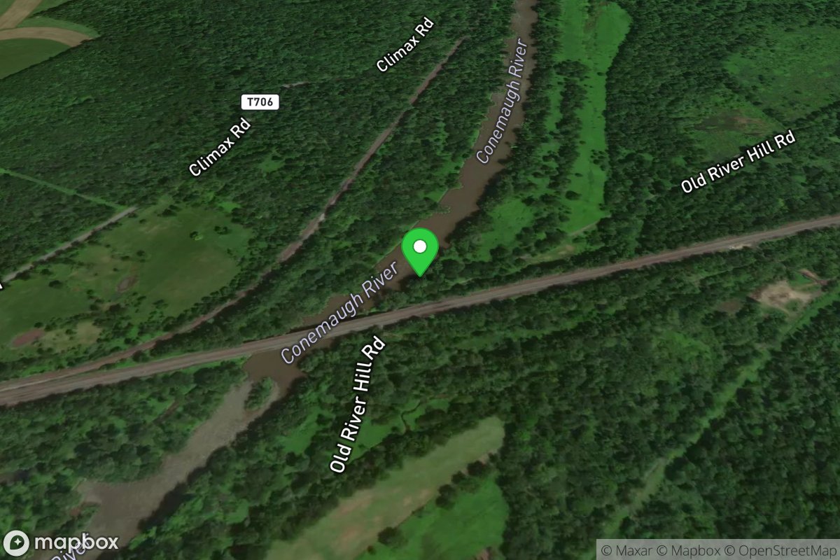
New Florence
Access Site
Kiskiminetas River
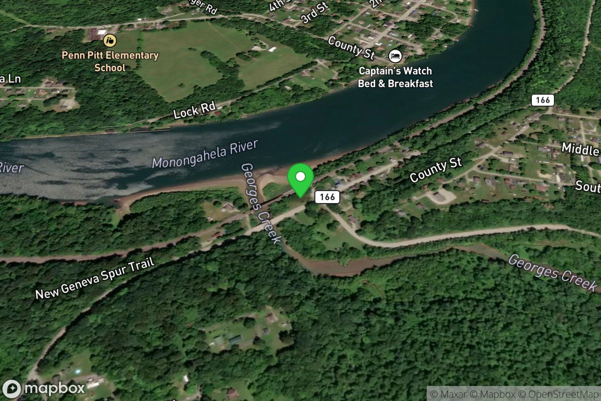
New Geneva
Access Site
Monongahela River
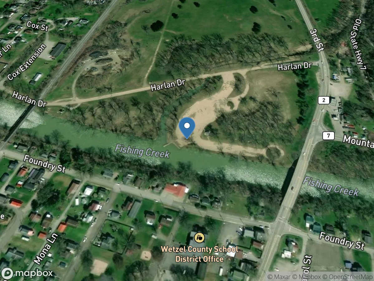
New Martinsville Park
Access Site
Ohio River
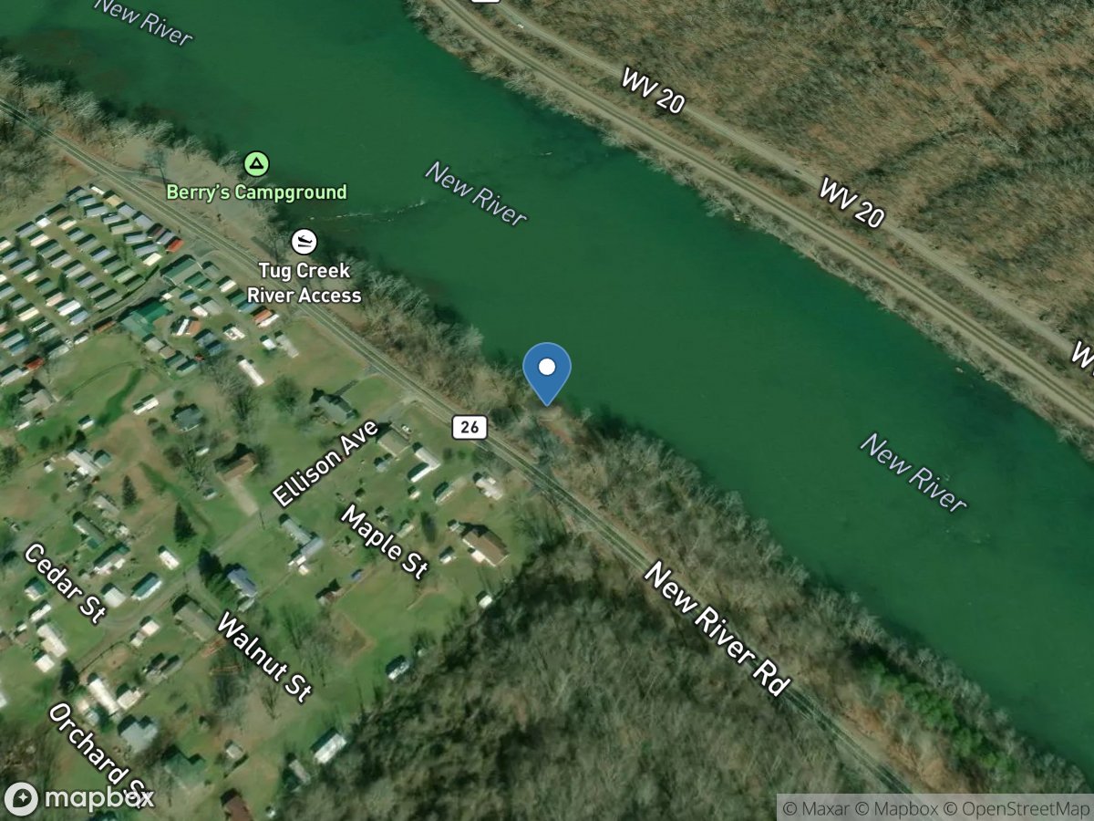
New River
Access Site
New River
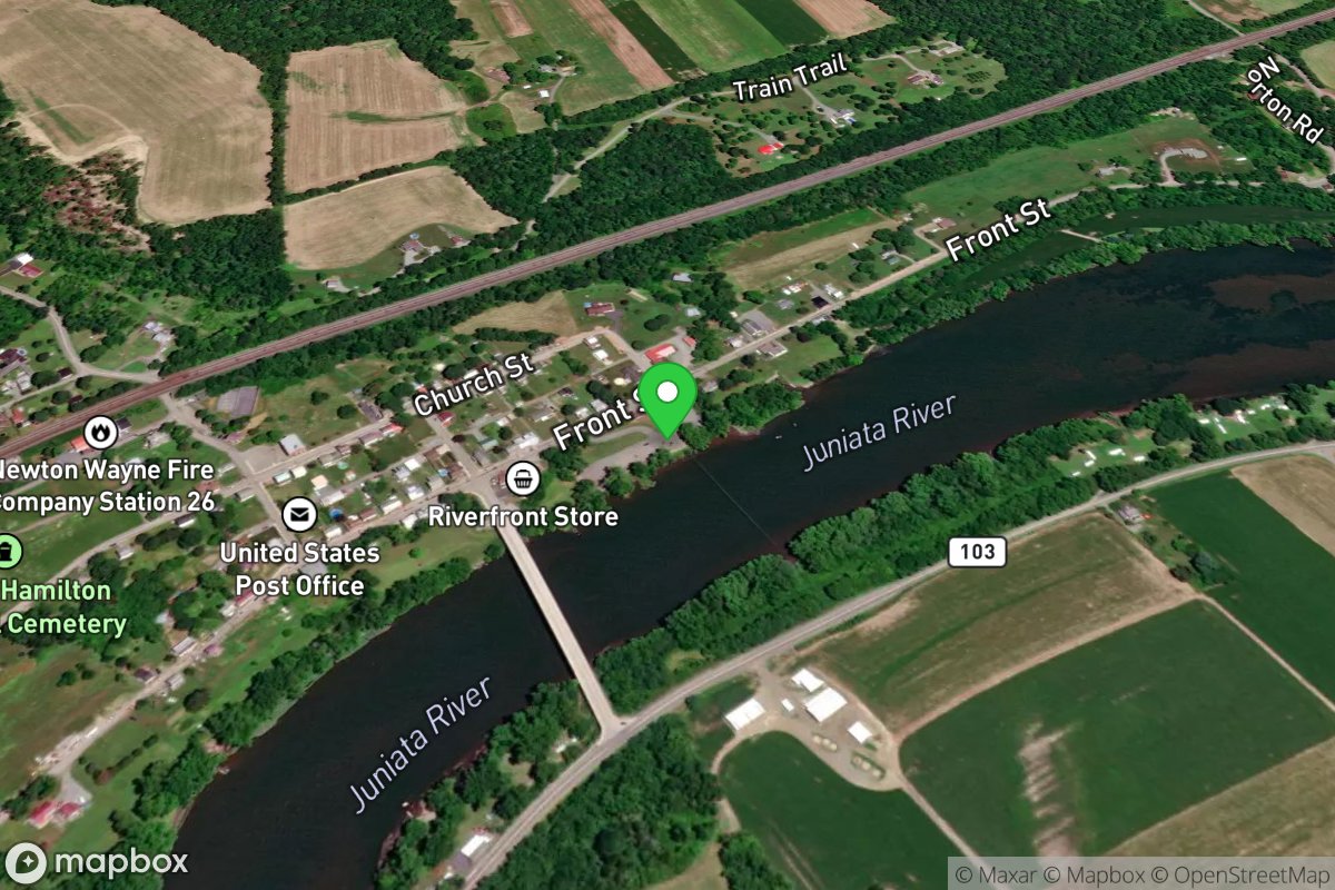
Newton Hamilton
Access Site
Juniata River
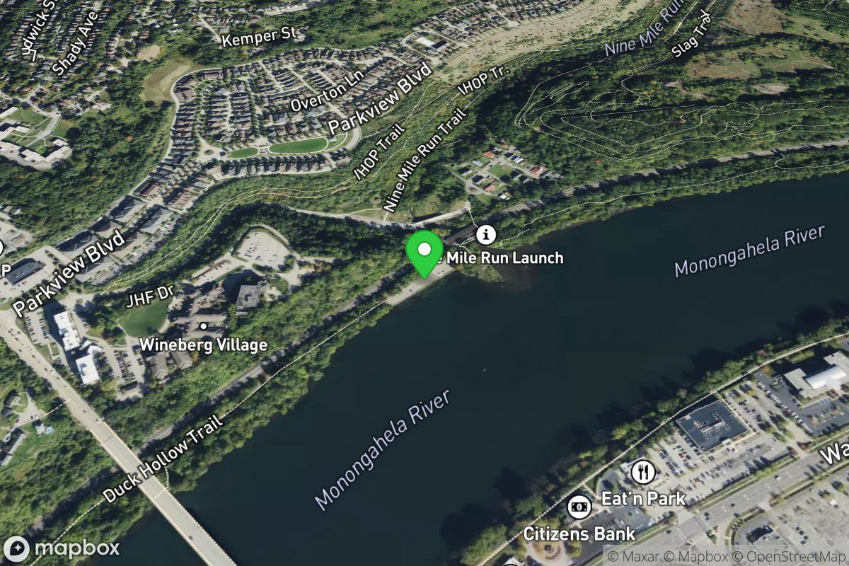
Nine Mile Run
Access Site
Monongahela River
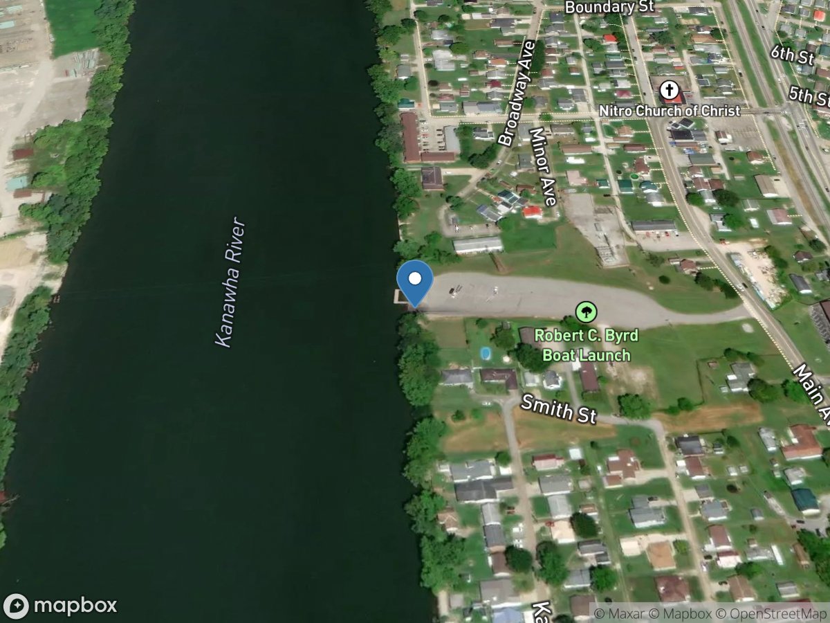
Nitro
Access Site
New RIver
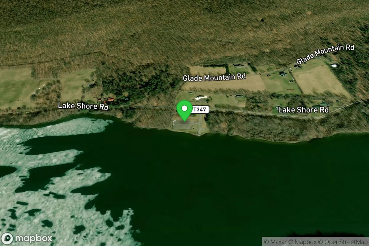
North Access
Access Site
High Point Lake
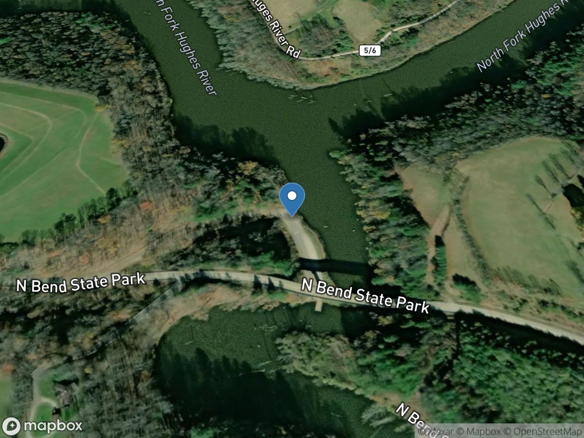
North Bend State Park
Access Site
North Bend State Park Pond
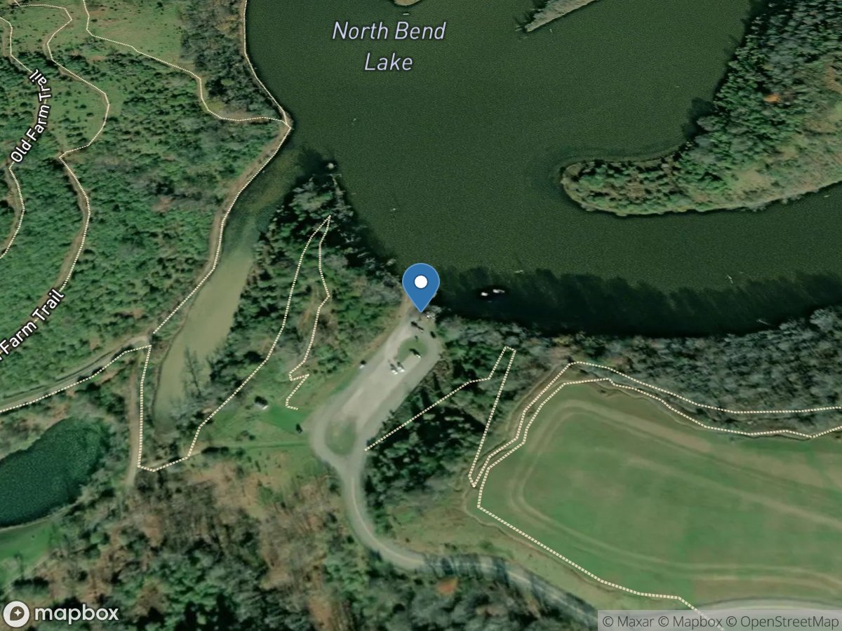
North Bend State Park
Access Site
North Bend State Park Lake
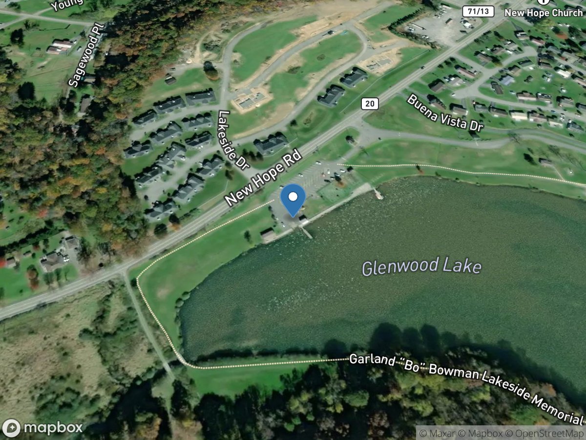
North Fork Brush Creek (Glenwood Lake)
Access Site
North Fork Brush Creek (Glenwood Lake)
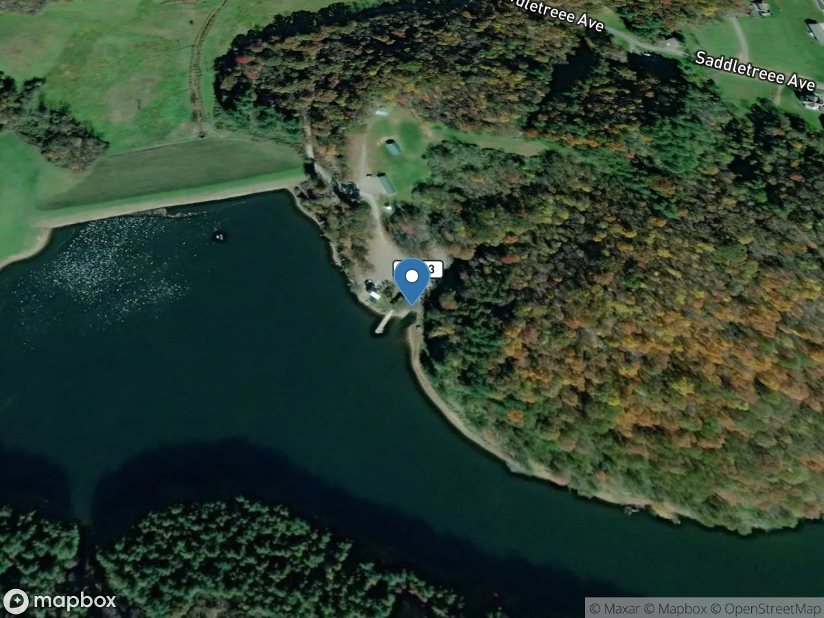
North Fork Brush Creek (North Fork Brush Creek)
Access Site
North Fork Brush Creek (North Fork Brush Creek)
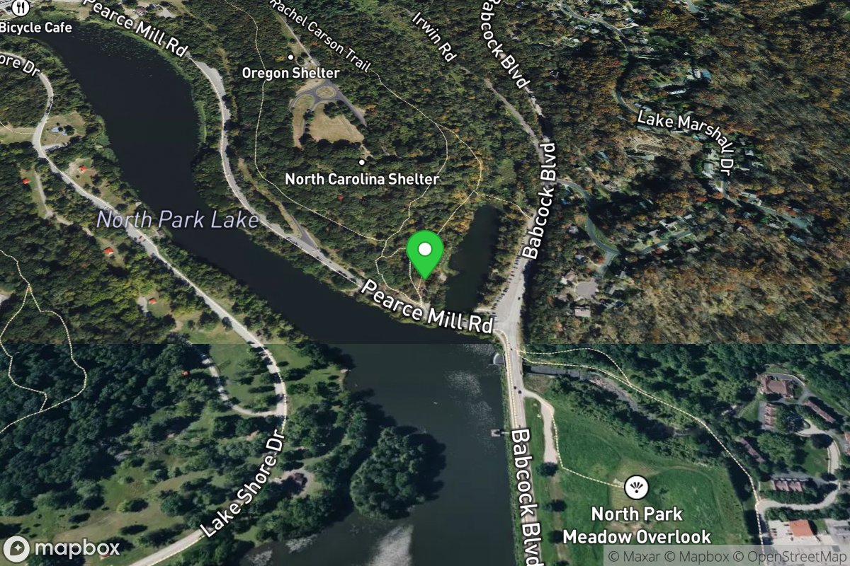
North Park Boat Launch
Access Site
North Park Lake
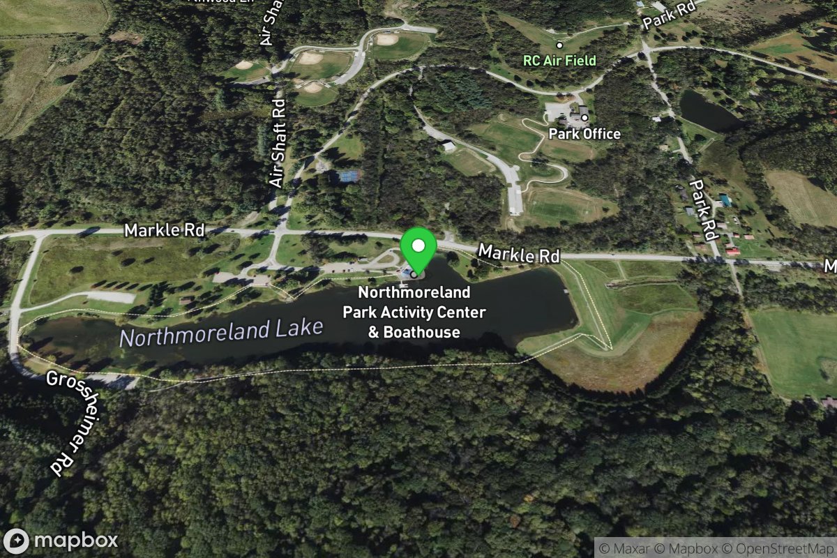
Northmoreland Lake
Access Site
Northmoreland Lake
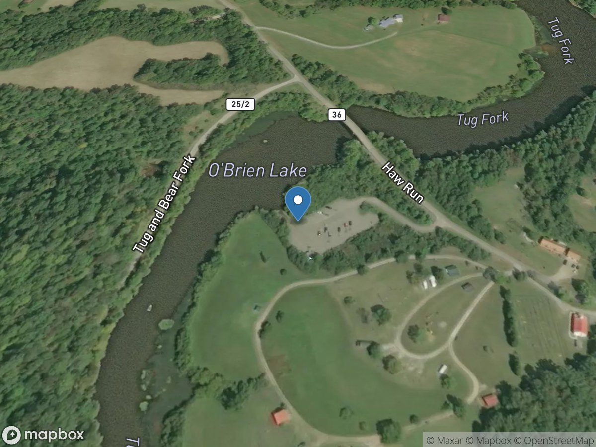
O'Brian Lake
Access Site
O'Brian Lake
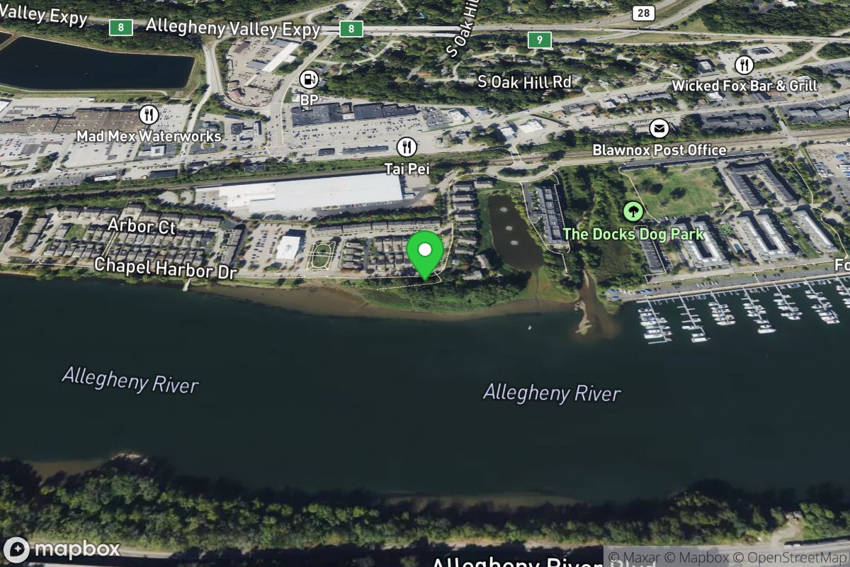
O'Hara Chapel Harbor
Access Site
Allegheny River
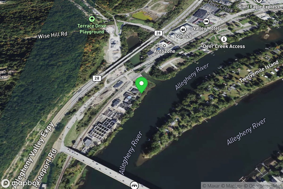
O'Hara Landing
Access Site
Allegheny River
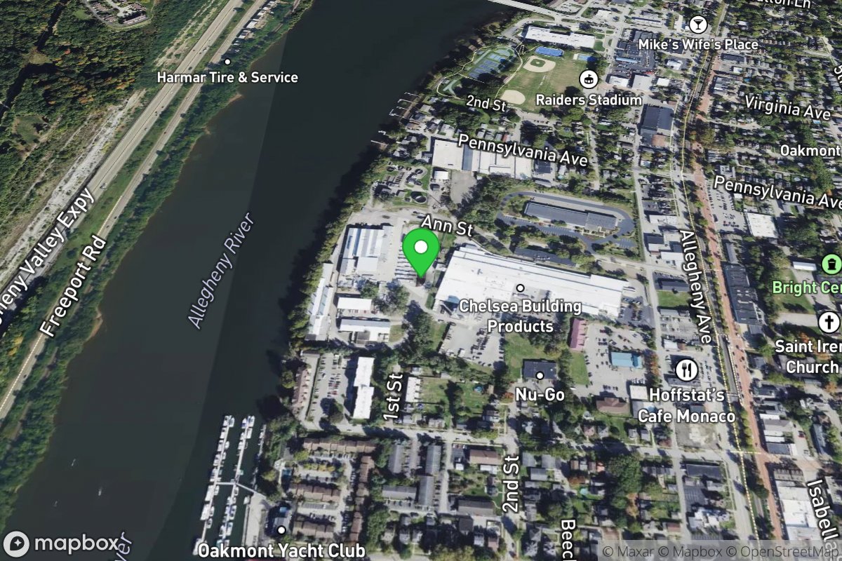
Oakmont Public Access
Access Site
Allegheny River