Access Sites in West Virginia
Find mapped boat ramps, launches, and public water access points across the United States.
1,015
Total Sites
24
Loaded
1
Regions
Map view
Explore nearby access
Pan or zoom to load the sites in view, then open a marker for details and directions.
Interactive access map
Loads after the directory is visible.
Loading...
Navigation Tips
- Zoom in to load more sites in your area of interest
- Click on clusters (numbered circles) to zoom into that area
- Click on individual markers for site details and directions
- Use scroll wheel or pinch to zoom, drag to pan
Directory results
Loaded access sites
The list reflects the current page and can be narrowed with the search field.
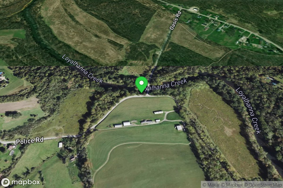
Oasis Bridge
Access Site
Loyalhanna Creek
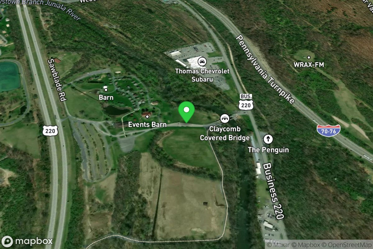
Old Bedford Village
Access Site
Juniata River - Raystown Branch
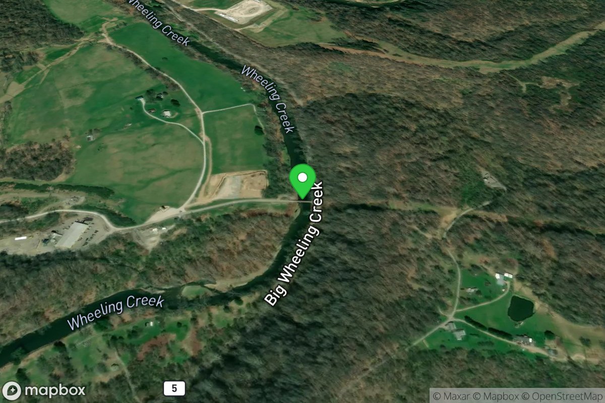
Old Coal Mine Bridge Creek Access
Access Site
Wheeling Creek
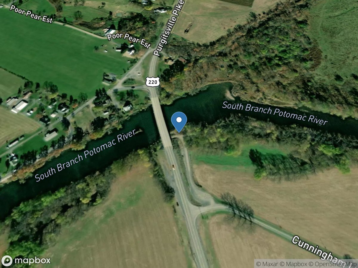
Old Fields Bridge
Access Site
South Branch Potomac River
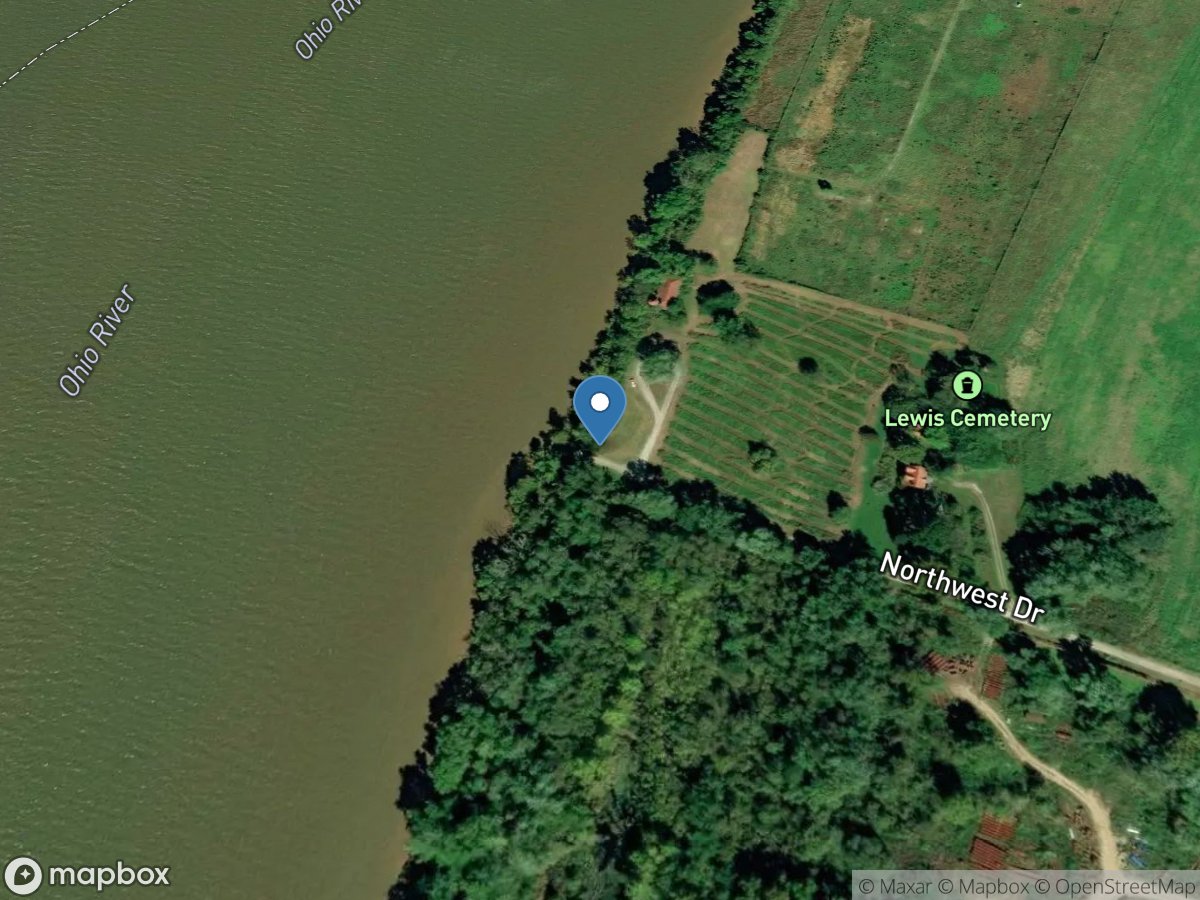
Old Lock #19
Access Site
Ohio River
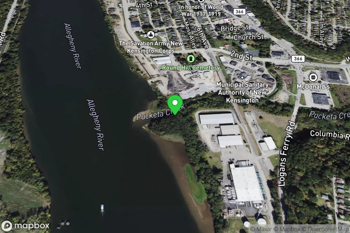
Ole Locke No. 3
Access Site
Allegheny River
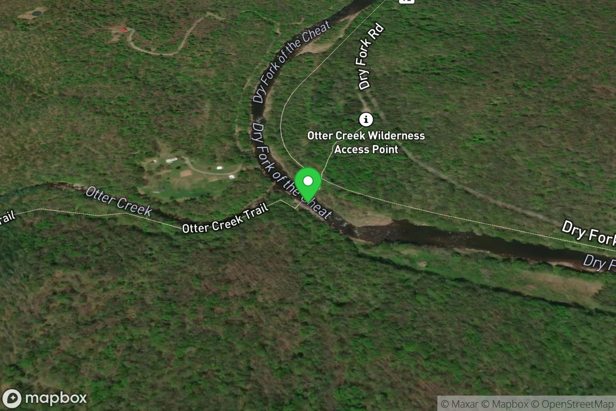
Otter Creek Trail Foot Bridge (Alt. Take-out)
Access Site
Cheat, Dry Fork
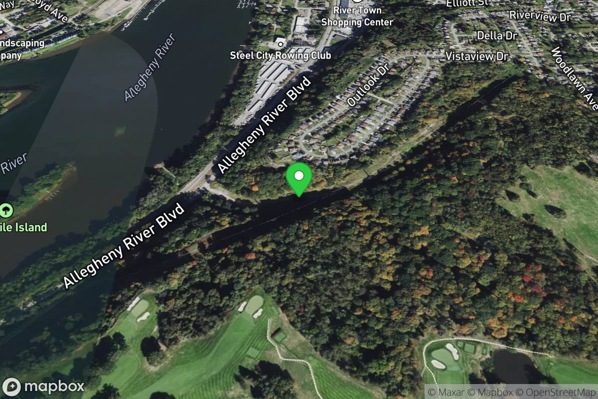
Outboard Haven
Access Site
Allegheny River
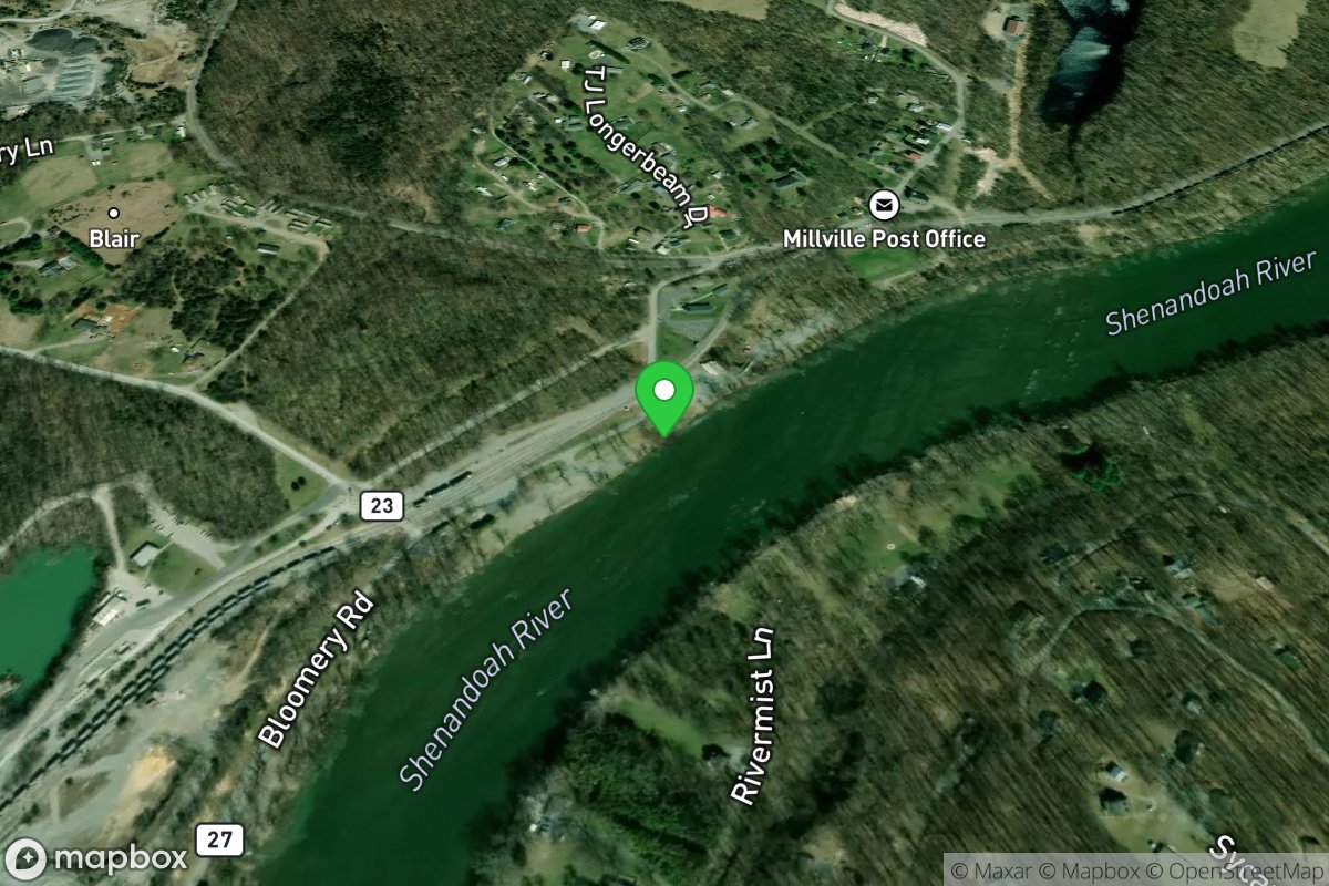
Outfitters Put-ins
Access Site
Shenandoah
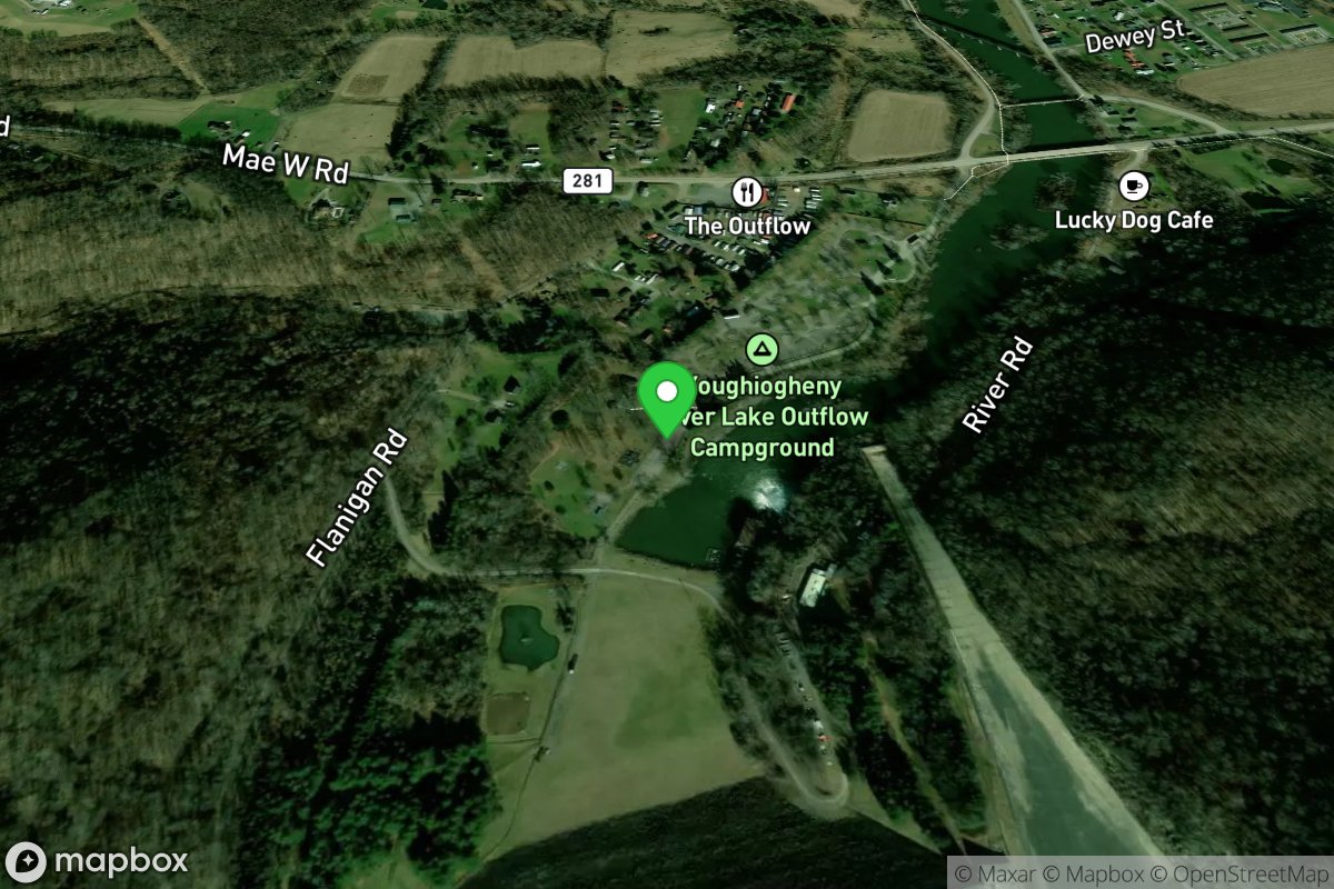
Outflow
Access Site
Youghiogheny River Lake
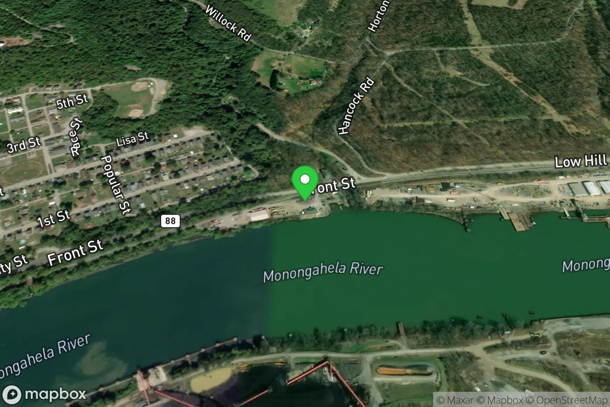
Packrall's Bay Restaraunt
Access Site
Monongahela River
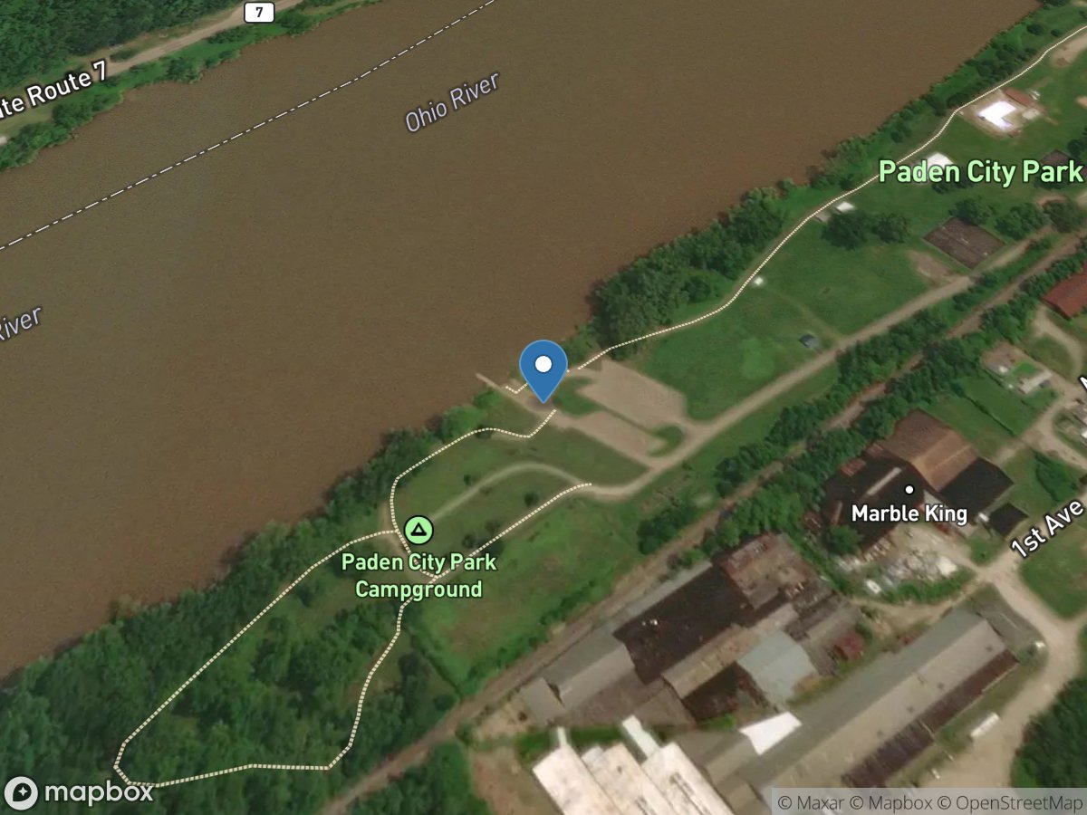
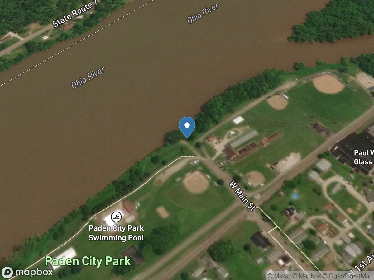
Paden City Park
Access Site
Ohio River
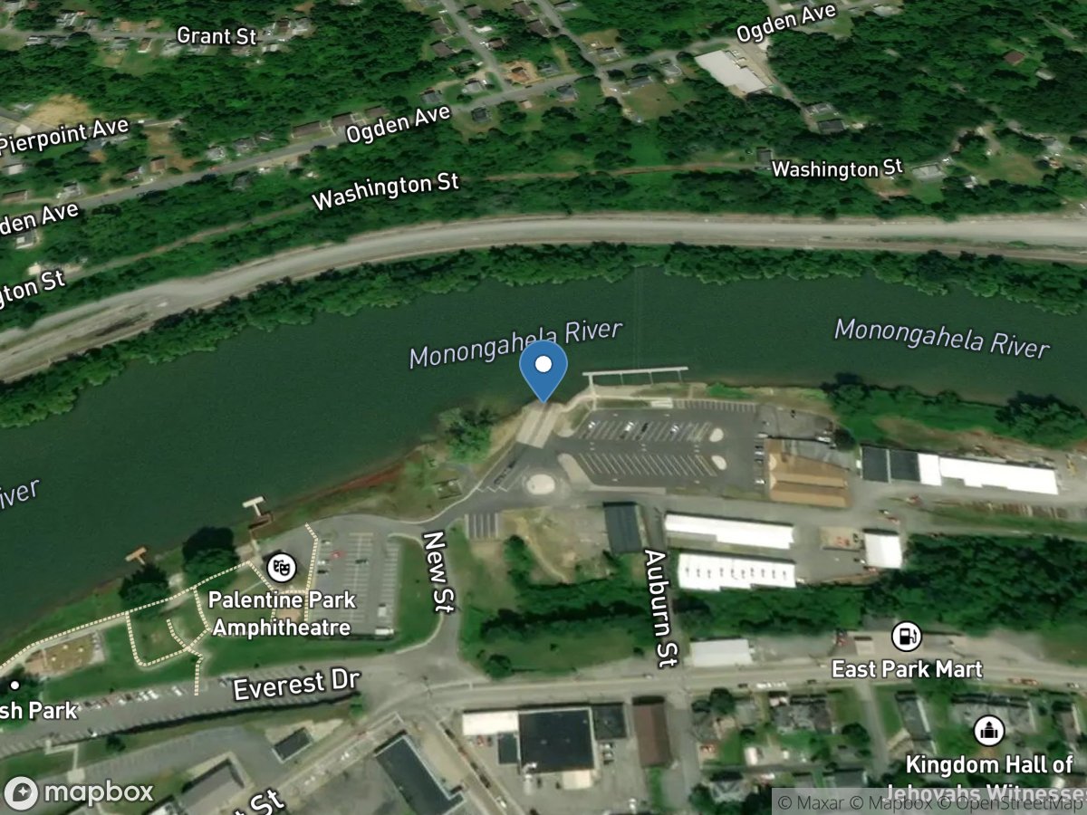
Paden City Park
Access Site
Ohio River
Palatine
Access Site
Monongahela River
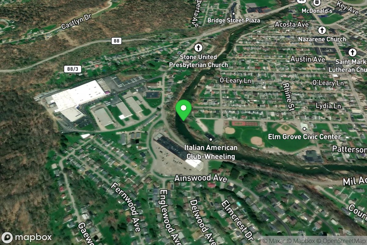
Patterson Recreational Complex Creek Access
Access Site
Wheeling Creek
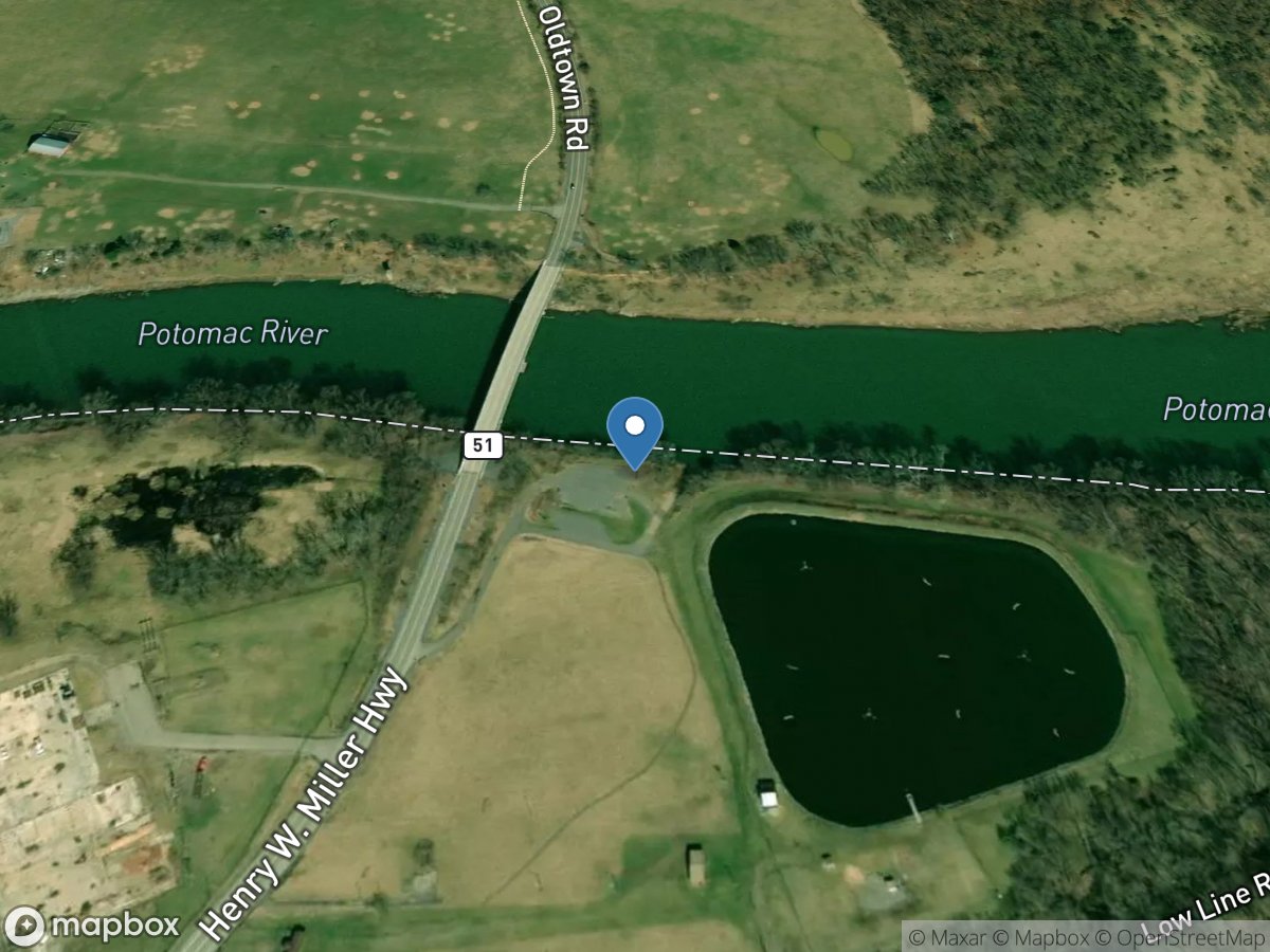
Paw Paw
Access Site
Potomac River
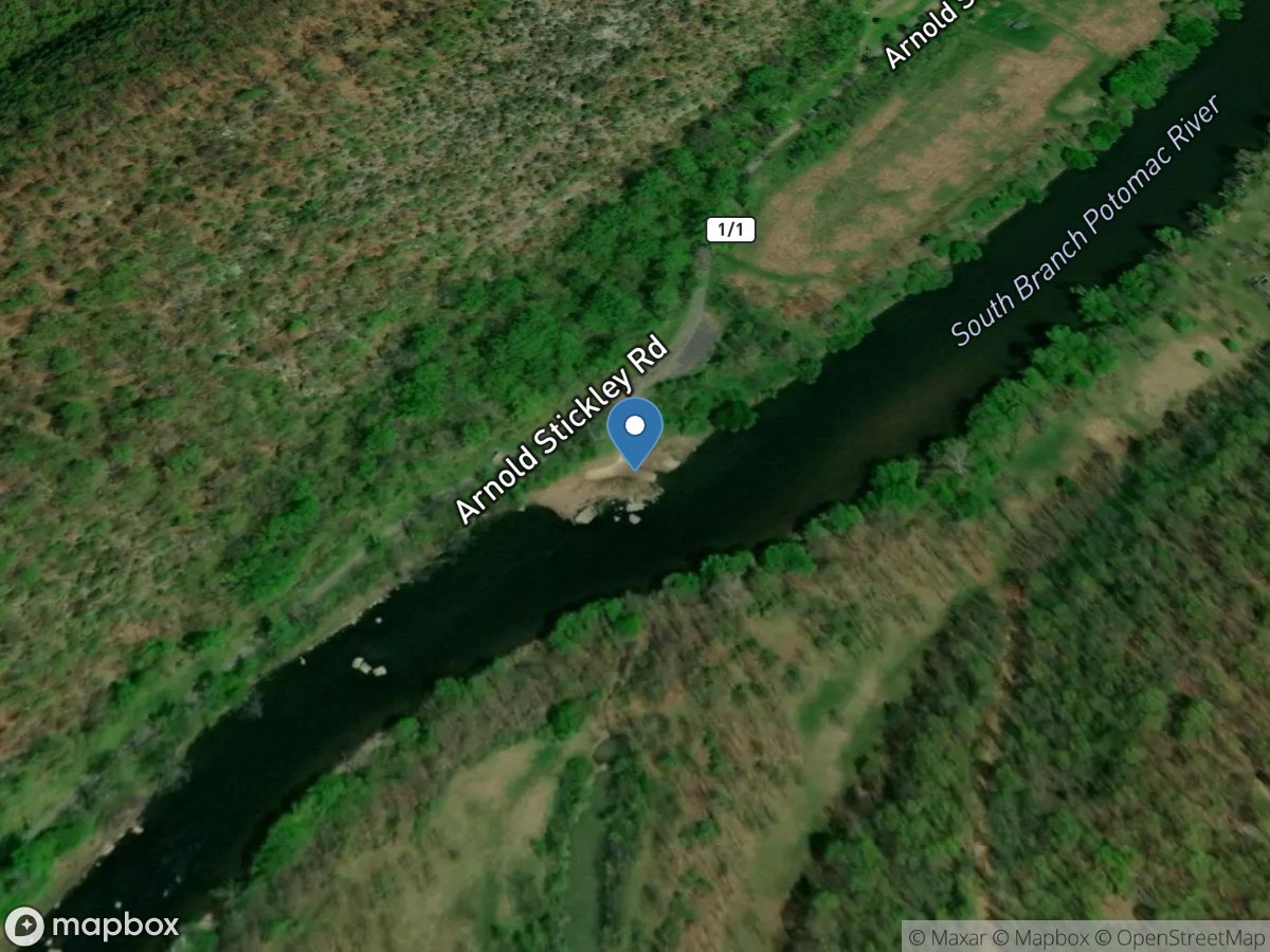
Paw Paw Creek 1/1
Access Site
South Branch Potomac River
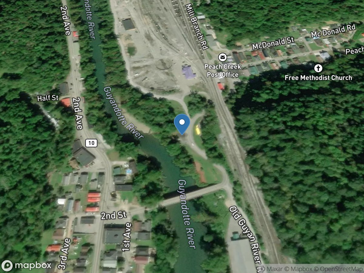
Peach Creek
Access Site
Guyandotte River
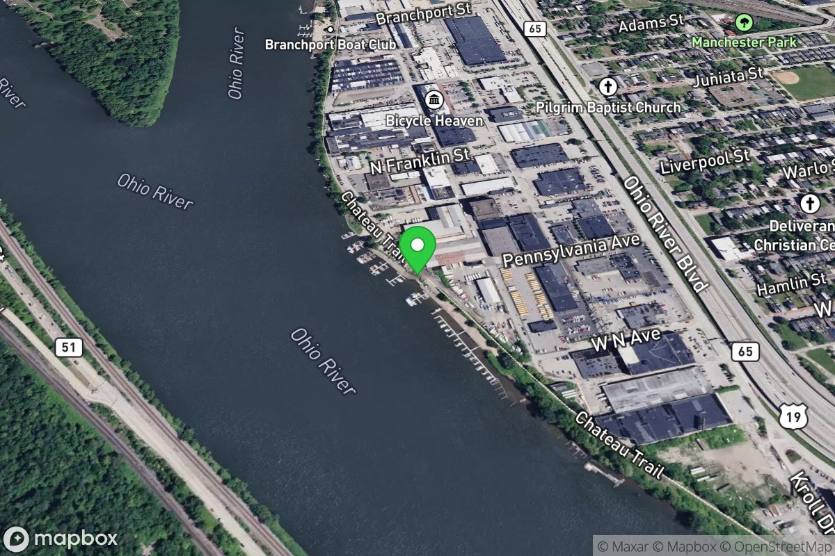
Peggy's Harbor
Access Site
Ohio River
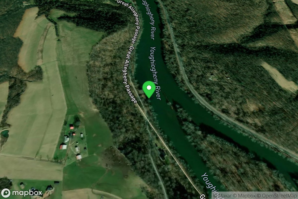
Perry Township
Access Site
Youghiogheny River
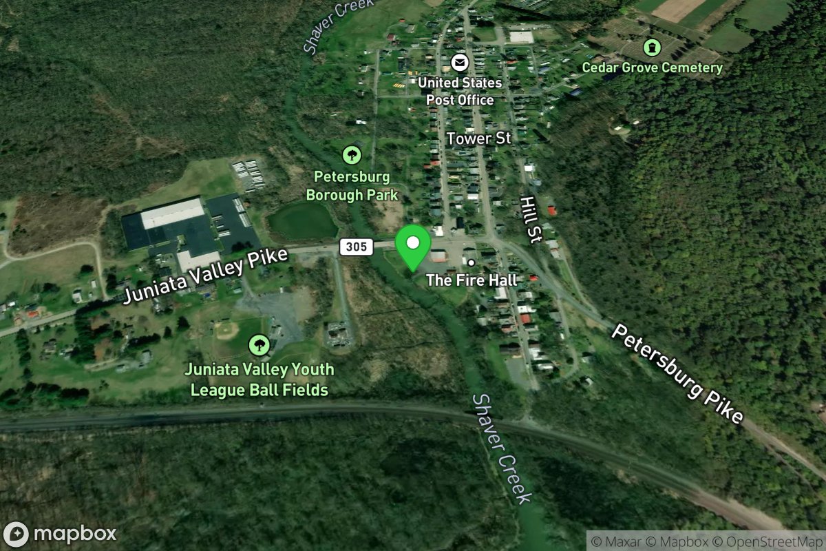
Petersburg
Access Site
Shaver's Creek
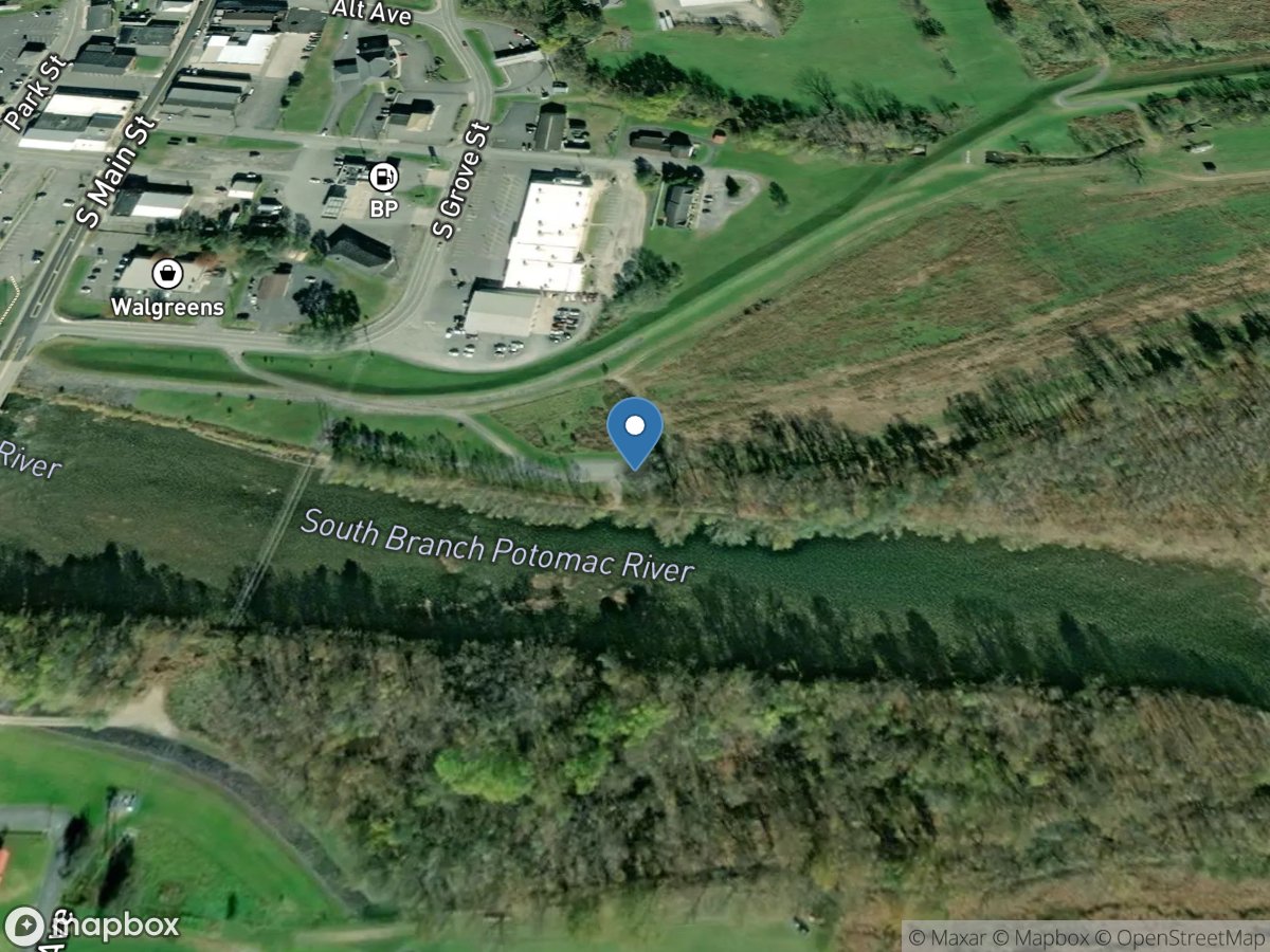
Petersburg
Access Site
South Branch Potomac River
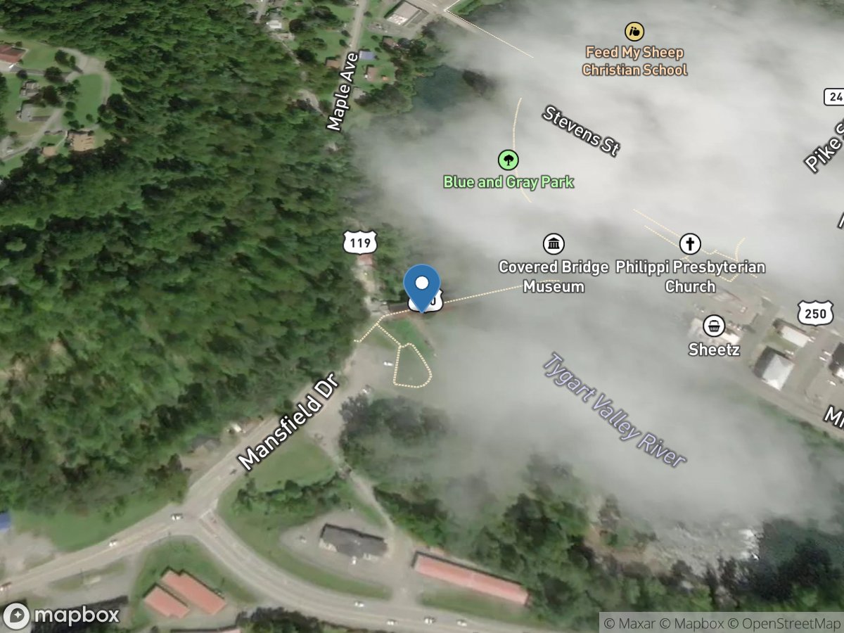
Phillippi Covered Bridge
Access Site
Tygart River
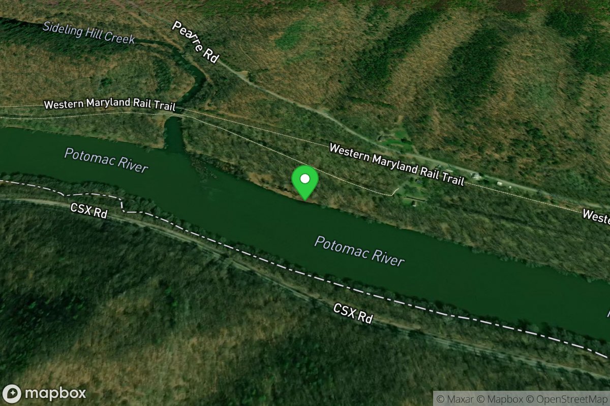
Pierre River Access
Access Site
Potomac