Access Sites in New York
Find mapped boat ramps, launches, and public water access points across the United States.
1,195
Total Sites
24
Loaded
1
Regions
Map view
Explore nearby access
Pan or zoom to load the sites in view, then open a marker for details and directions.
Interactive access map
Loads after the directory is visible.
Loading...
Navigation Tips
- Zoom in to load more sites in your area of interest
- Click on clusters (numbered circles) to zoom into that area
- Click on individual markers for site details and directions
- Use scroll wheel or pinch to zoom, drag to pan
Directory results
Loaded access sites
The list reflects the current page and can be narrowed with the search field.
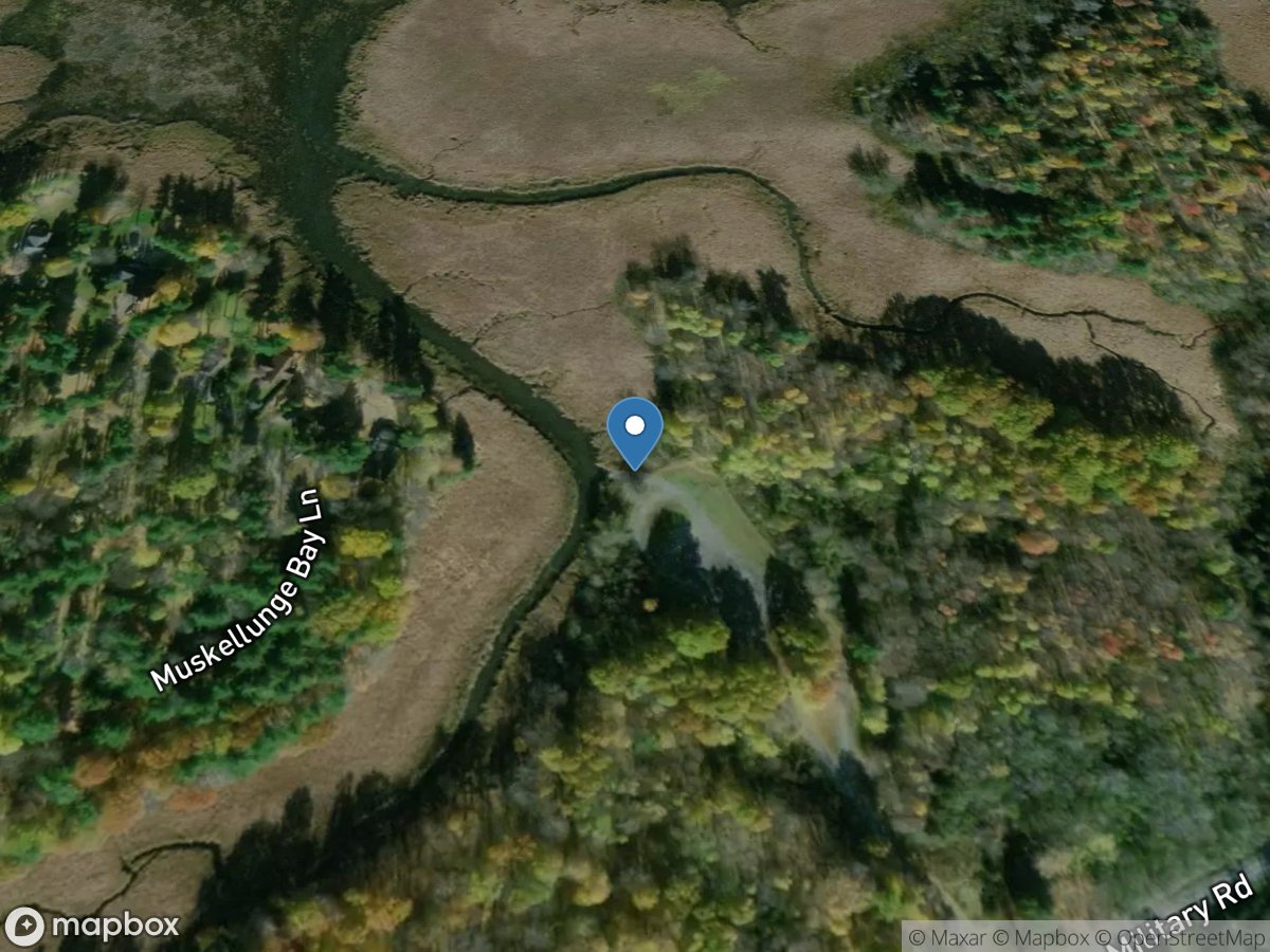
Muskellunge Bay
Access Site
Lake Ontario
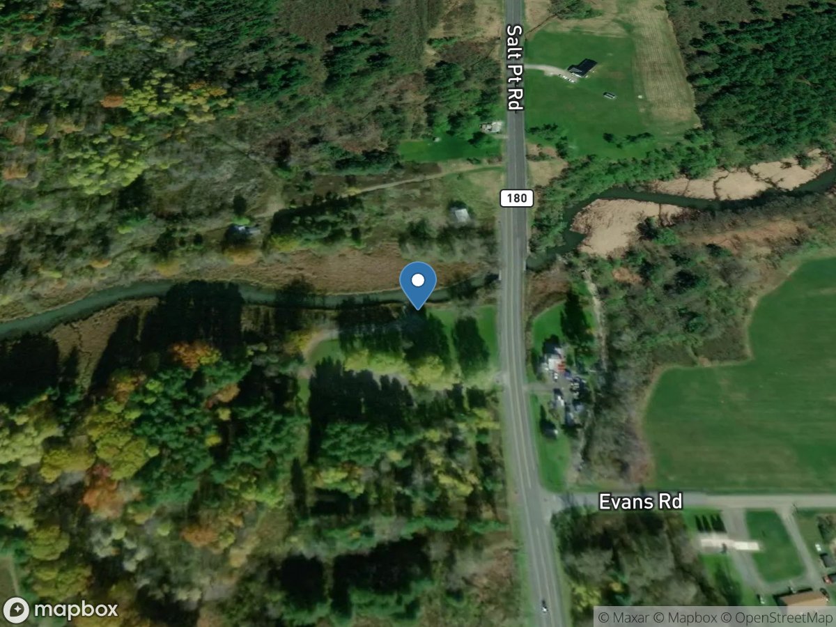
Muskellunge Creek
Access Site
Muskellunge Creek
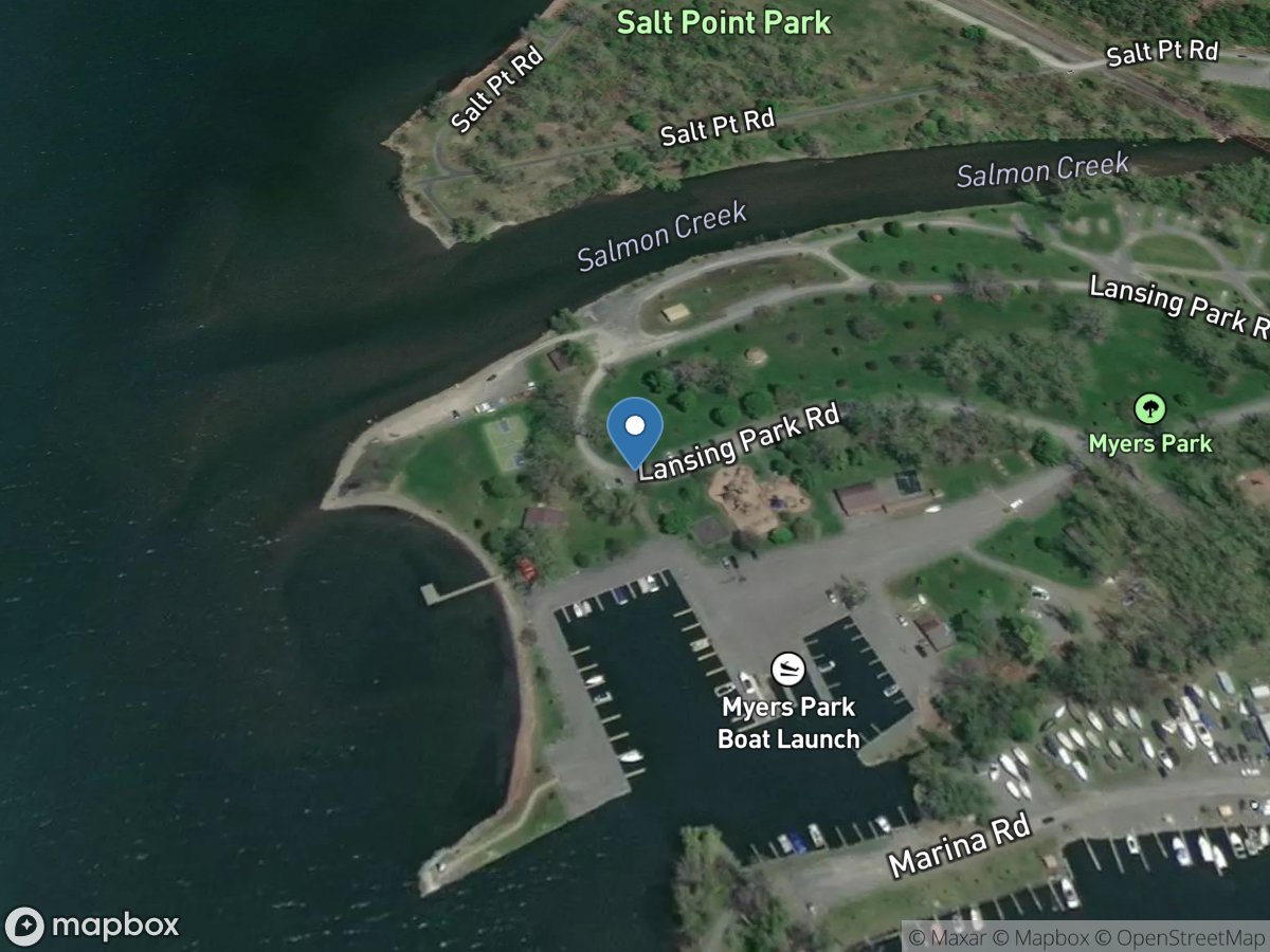
Myers Park, Mile 36.06
Access Site
Cayuga-Seneca Canal (Cayuga Lake)
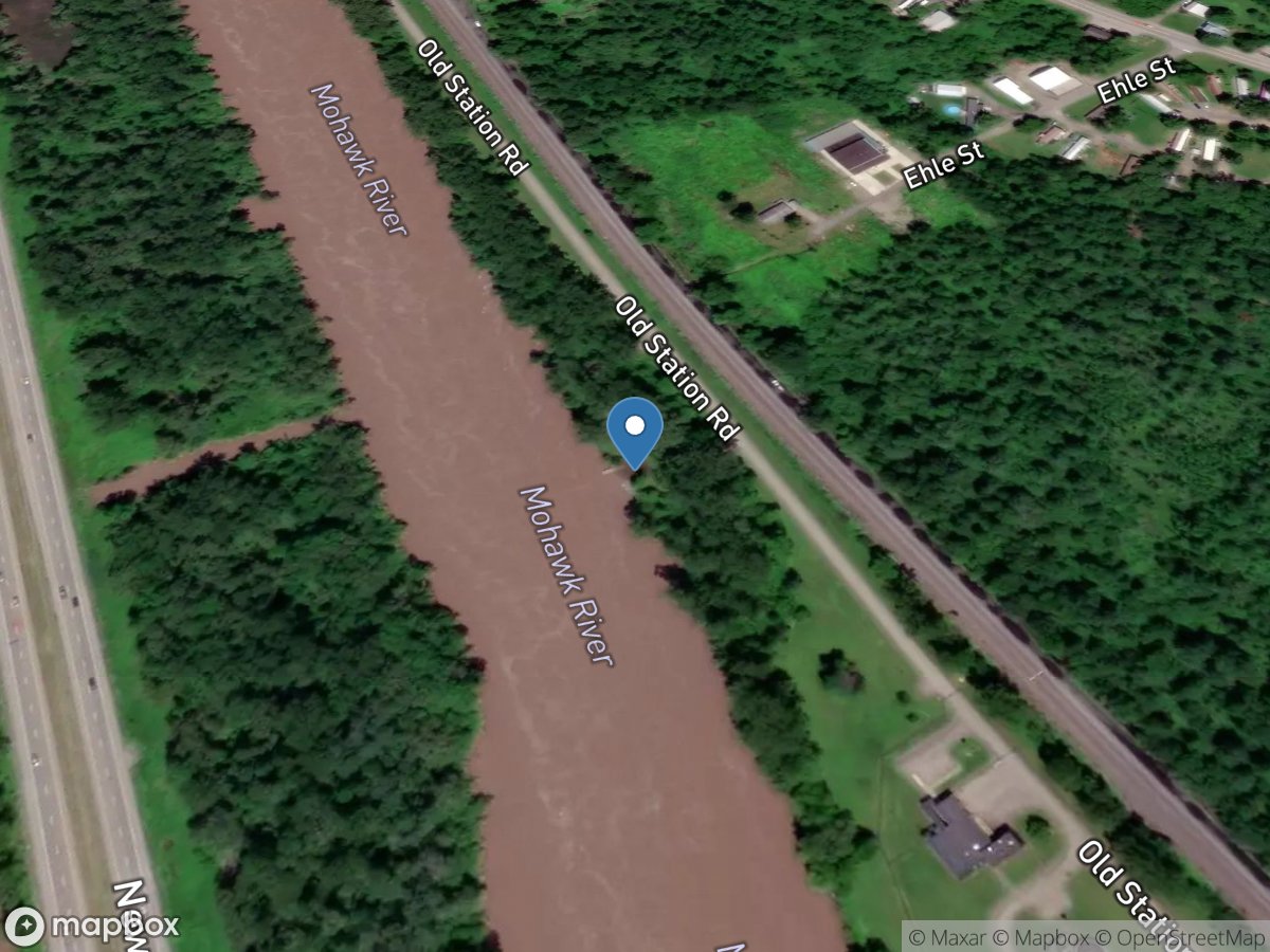
Nelliston, Mile 63.78
Access Site
Erie Canal - Mohawk River
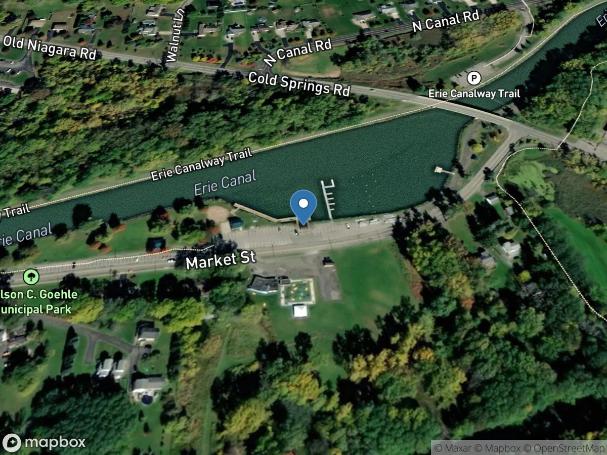
Nelson C. Goehle Public Marina, Mile 319.05
Access Site
Erie Canal
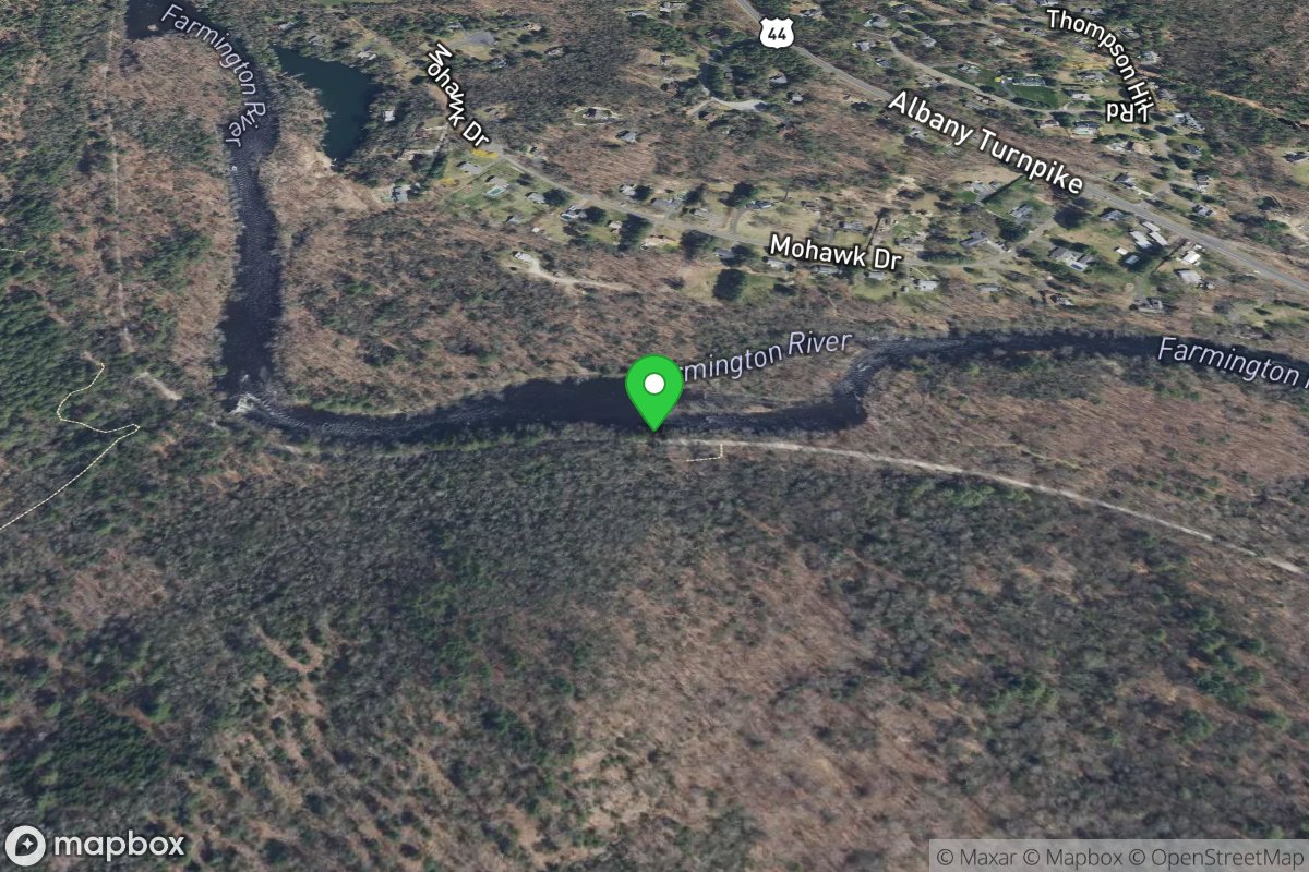
Nepaug State Forest
Access Site
Farmington
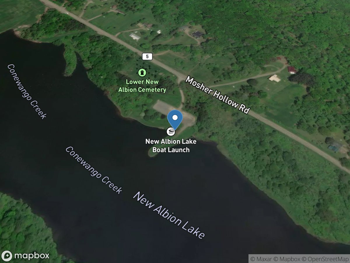
New Albion Lake
Access Site
Conewango Creek - New Albion Lake
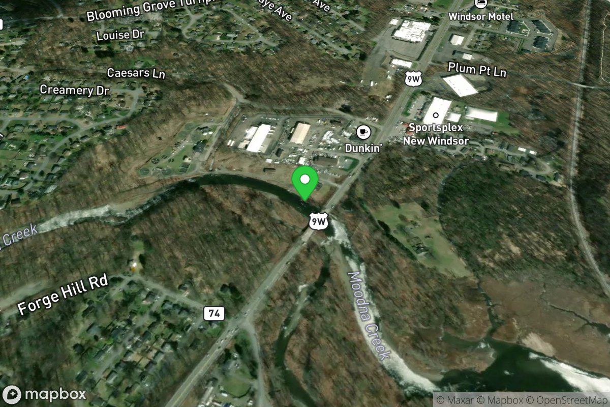
New Windsor Building and Grounds Building Alternate pullout
Access Site
Moodna Creek
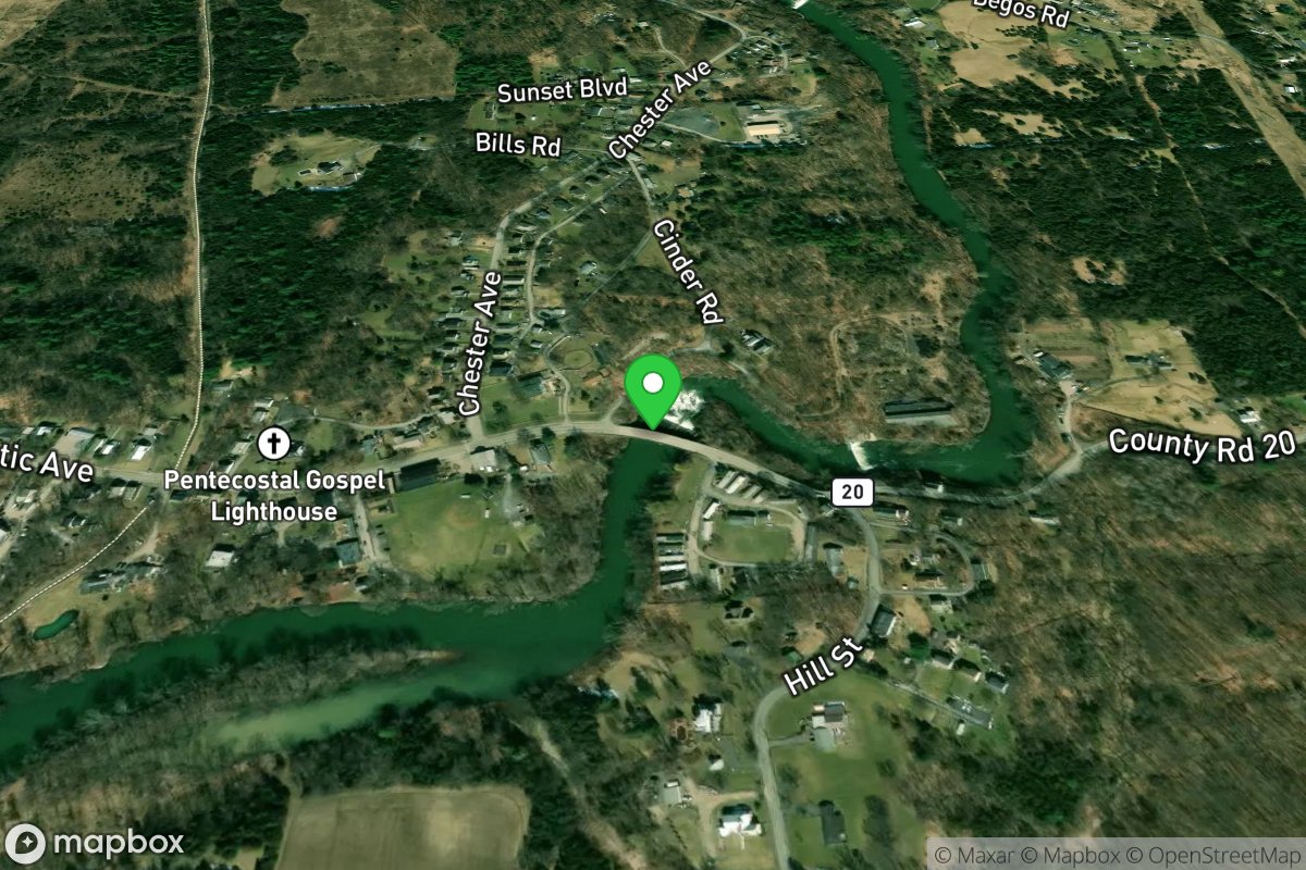
New Year's Drop
Access Site
Claverack Creek
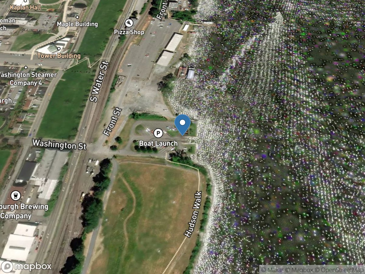
Newburgh NYS Boat Launch
Access Site
Hudson
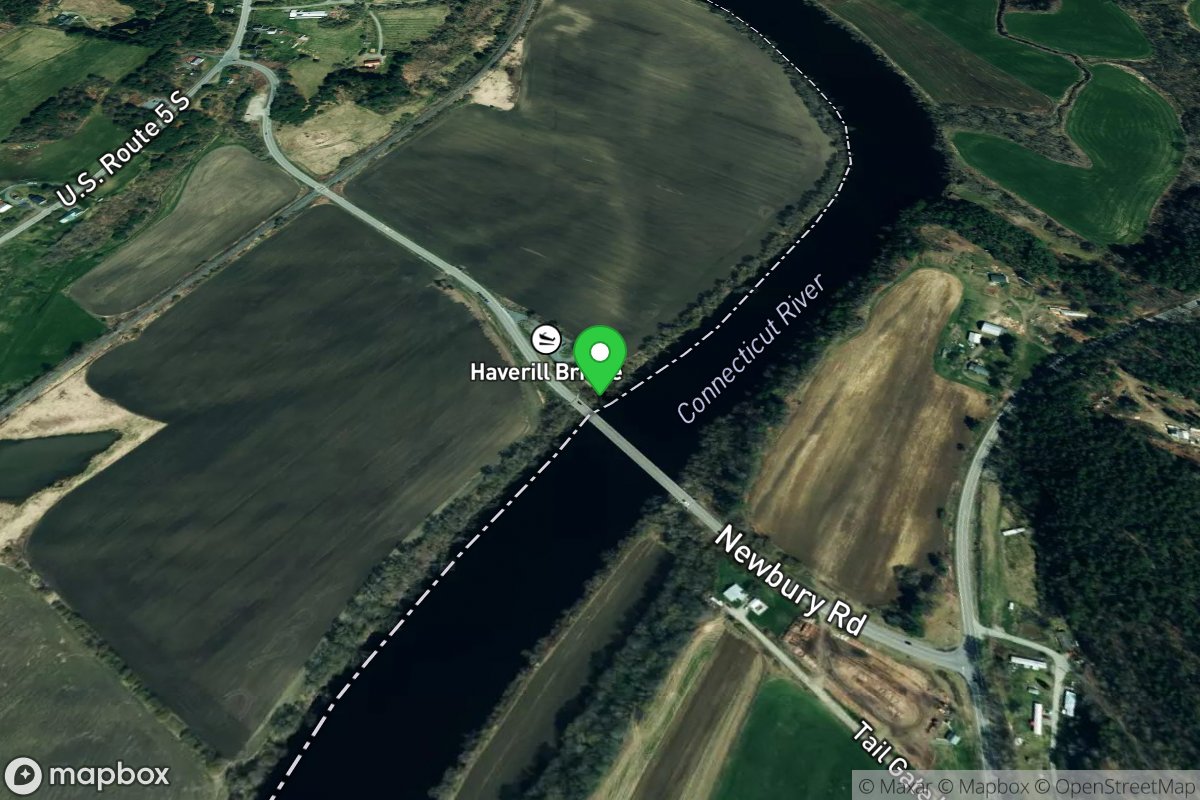
Newbury-Haverhill Bridge Access
Access Site
Connecticut River
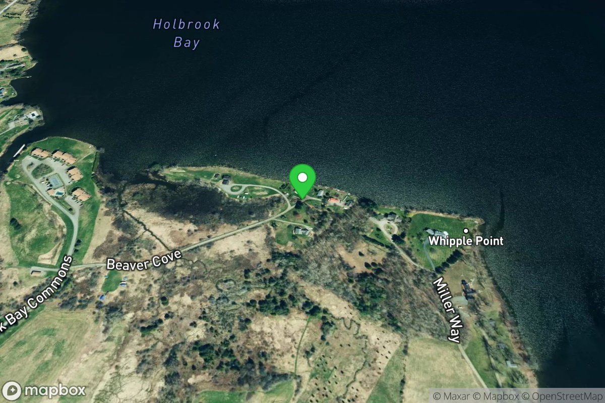
Newport
Access Site
Northern Forest Canoe Trail
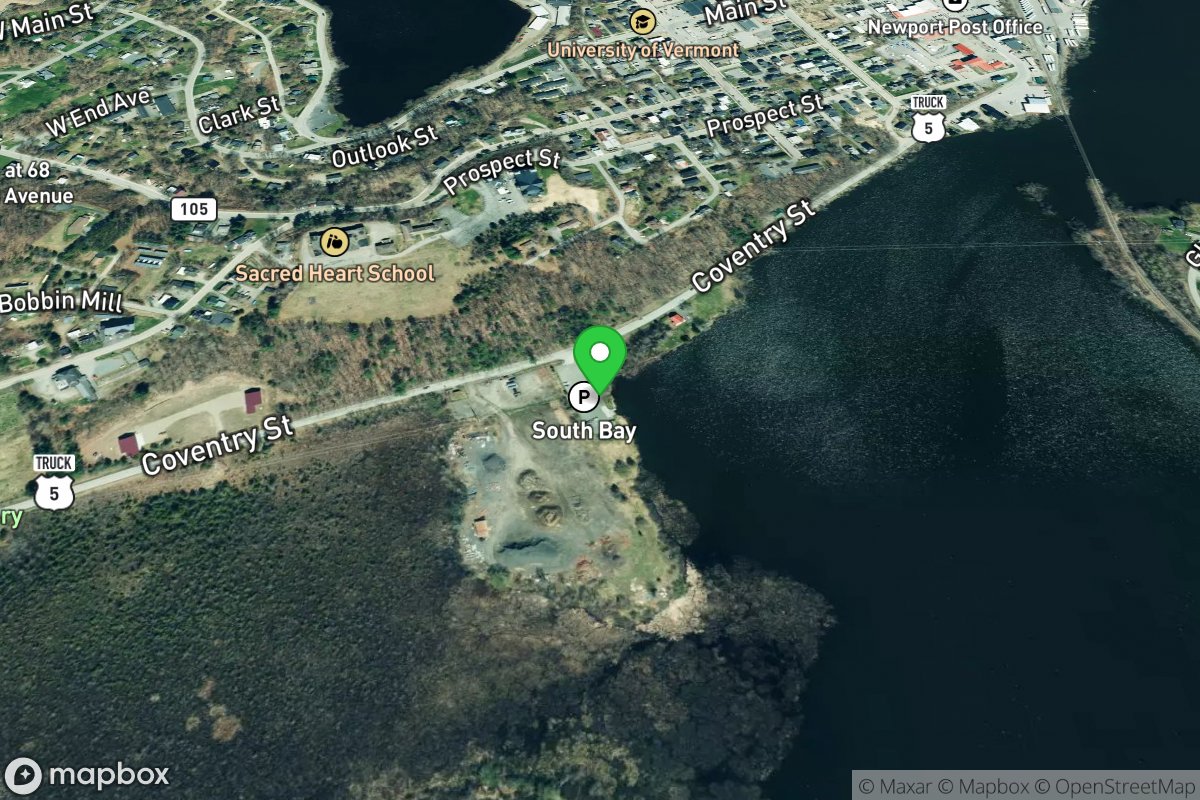
Newport
Access Site
Northern Forest Canoe Trail
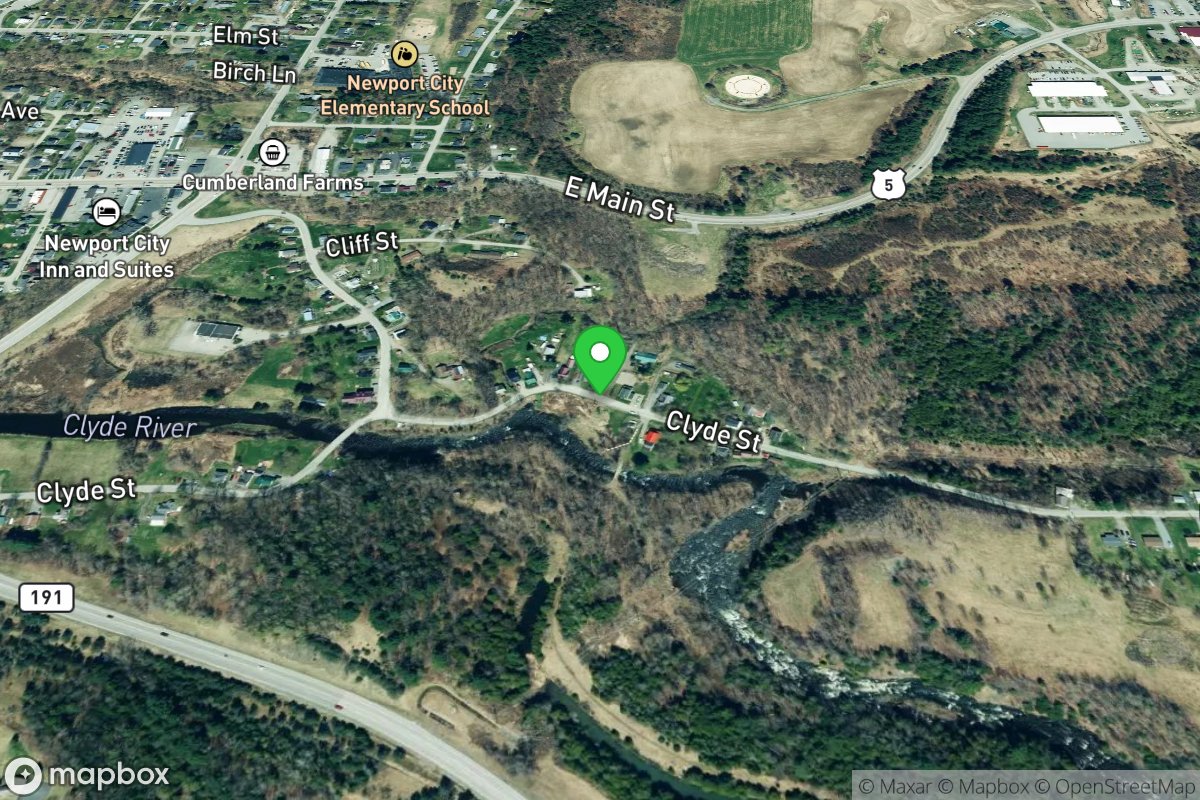
Newport
Access Site
Northern Forest Canoe Trail
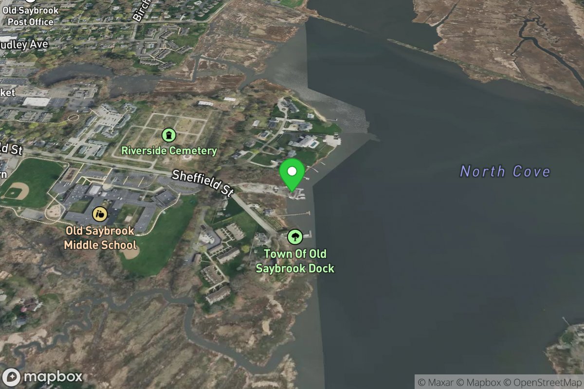
North Cove Town Ramp
Access Site
Connecticut River
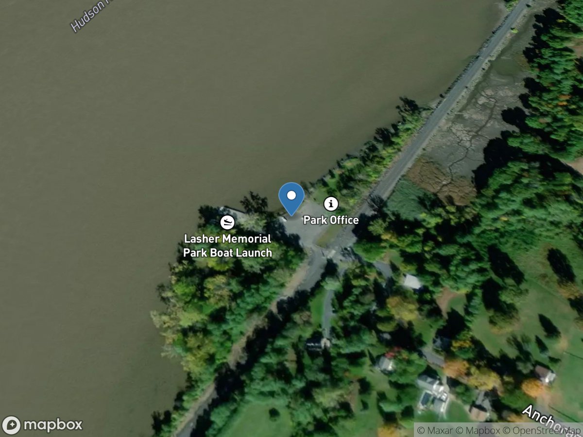
North Germantown Landing
Access Site
Hudson
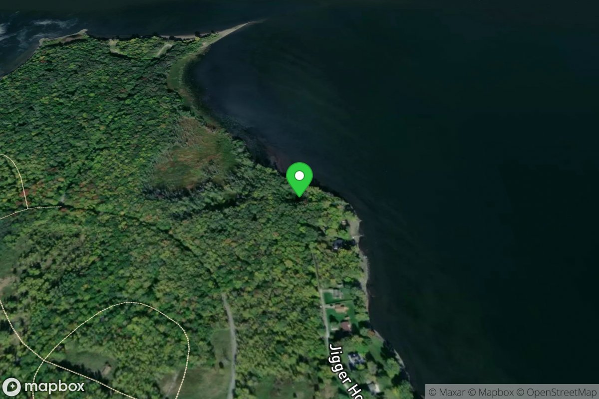
North Hero
Access Site
Northern Forest Canoe Trail
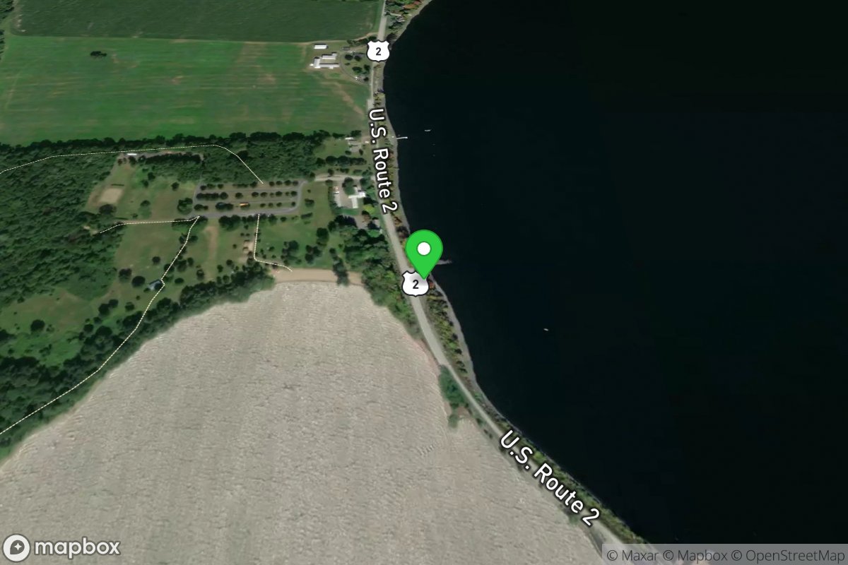
North Hero
Access Site
Northern Forest Canoe Trail
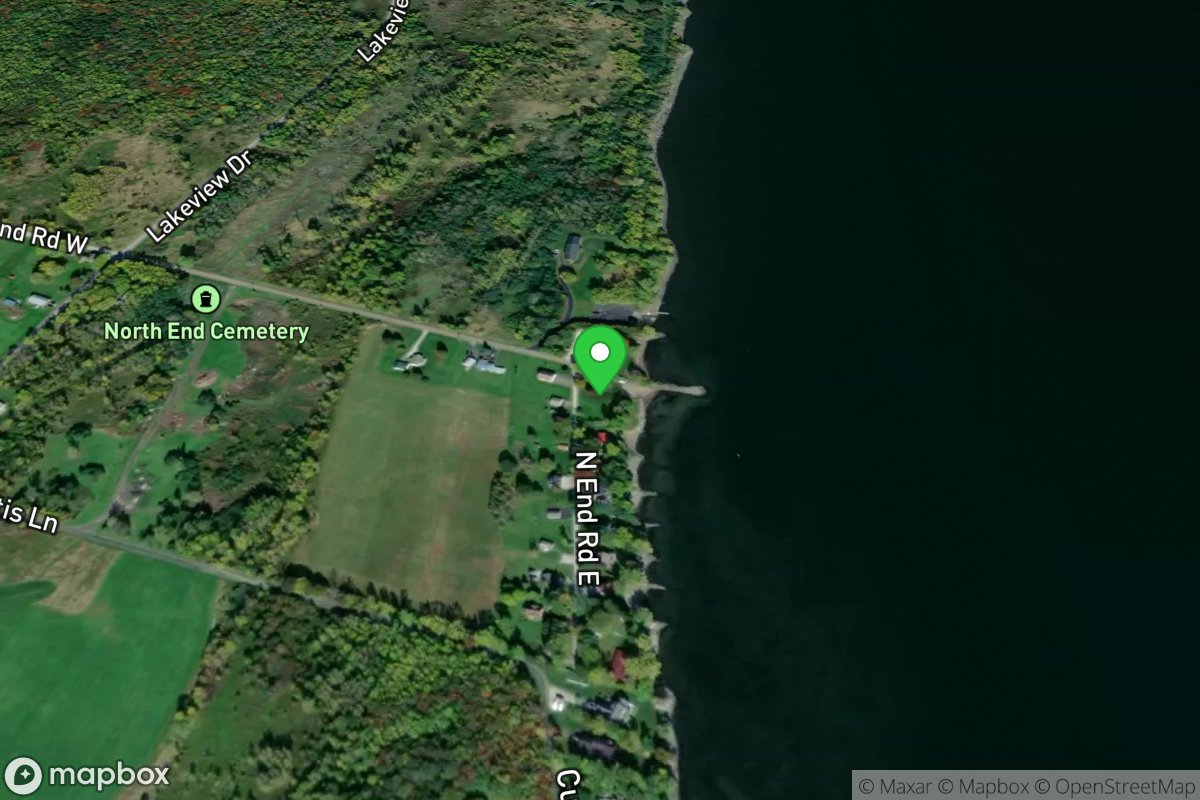
North Hero
Access Site
Northern Forest Canoe Trail
North Hero
Access Site
Northern Forest Canoe Trail
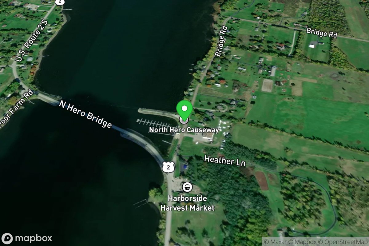
North Hero
Access Site
Northern Forest Canoe Trail
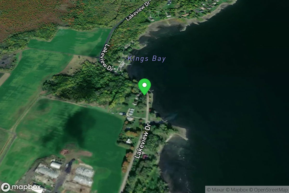
North Hero
Access Site
Northern Forest Canoe Trail
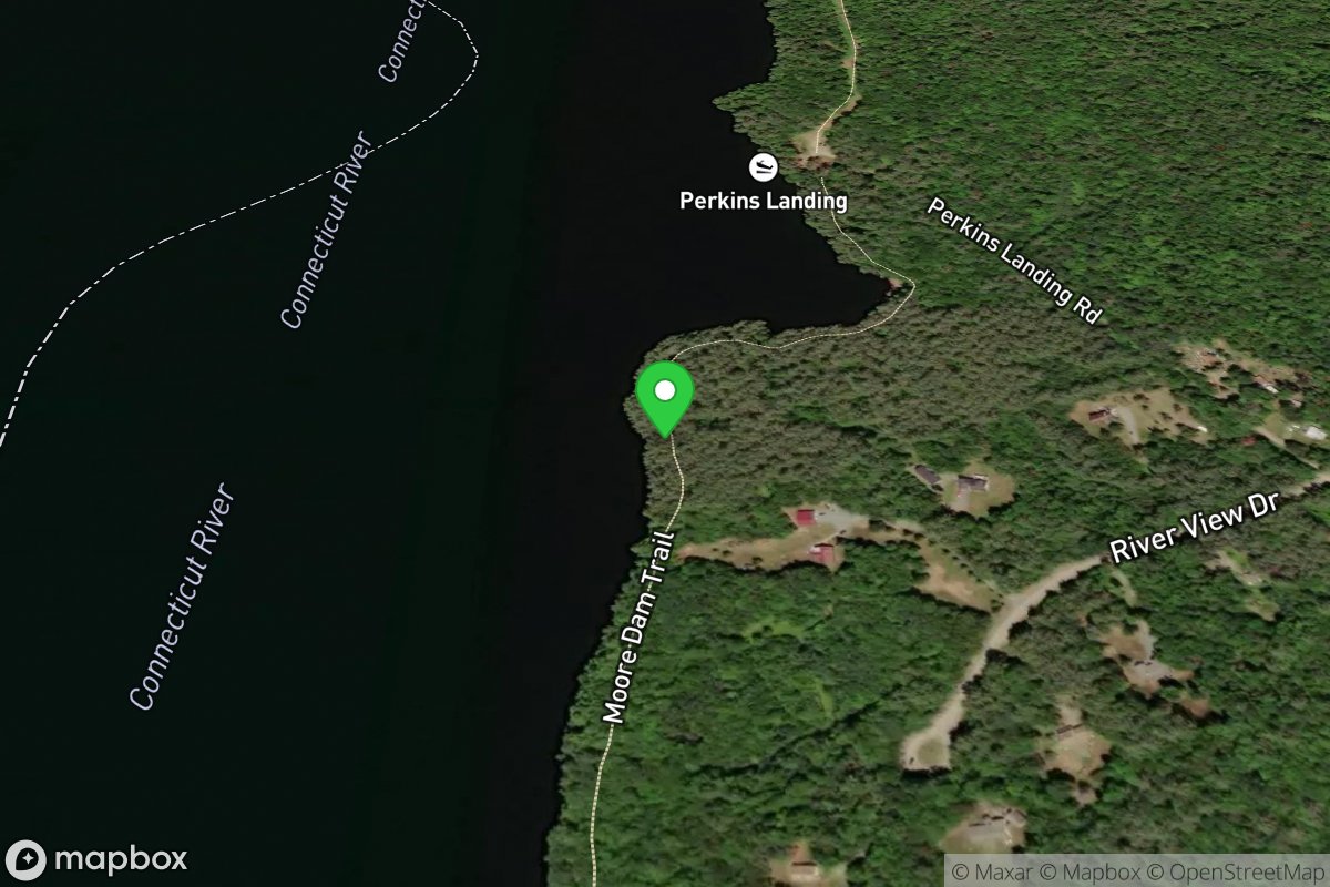
North Littleton Boat Launch
Access Site
Connecticut River
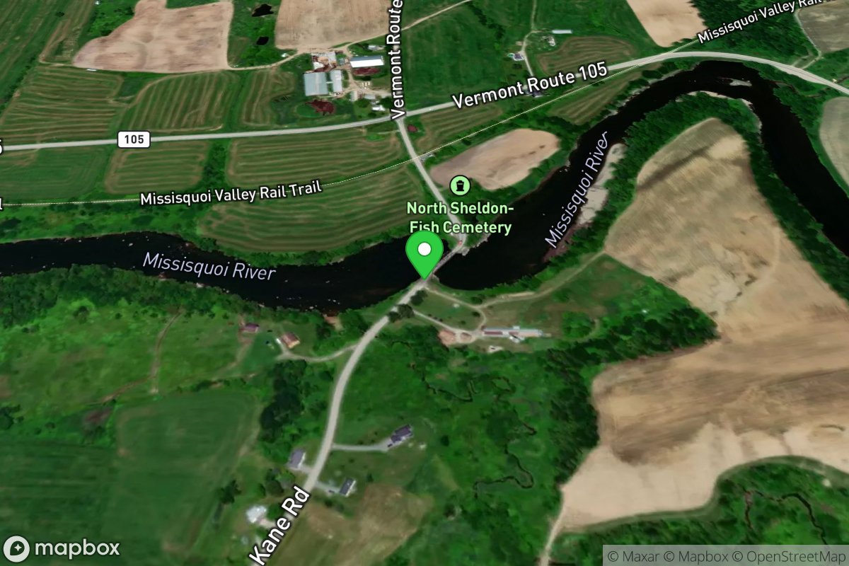
North Sheldon Bridge
Access Site
Missisquoi River