Access Sites in New York
Find mapped boat ramps, launches, and public water access points across the United States.
1,195
Total Sites
24
Loaded
1
Regions
Map view
Explore nearby access
Pan or zoom to load the sites in view, then open a marker for details and directions.
Interactive access map
Loads after the directory is visible.
Loading...
Navigation Tips
- Zoom in to load more sites in your area of interest
- Click on clusters (numbered circles) to zoom into that area
- Click on individual markers for site details and directions
- Use scroll wheel or pinch to zoom, drag to pan
Directory results
Loaded access sites
The list reflects the current page and can be narrowed with the search field.
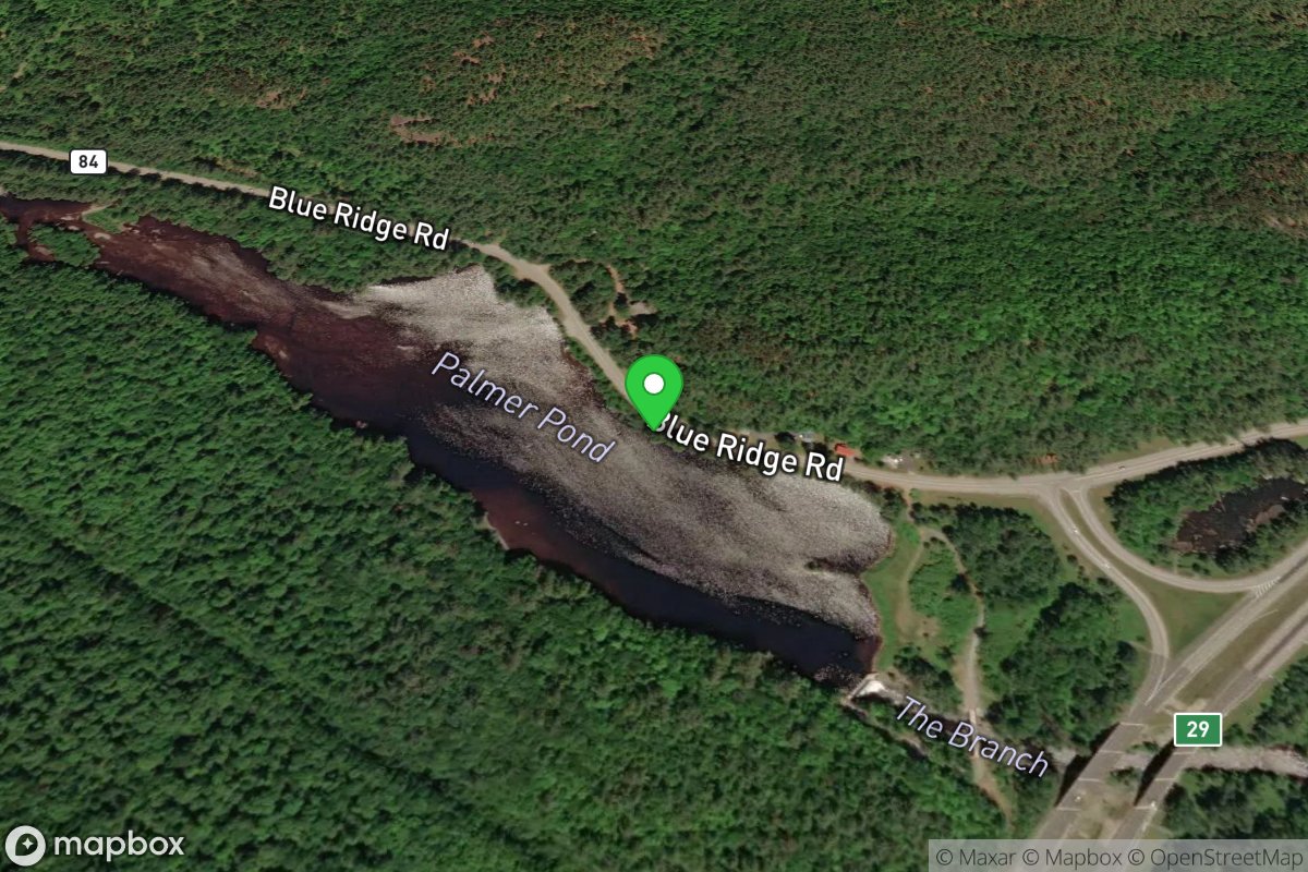
Palmer Pond Take Out
Access Site
Branch, The (Schroon trib.)
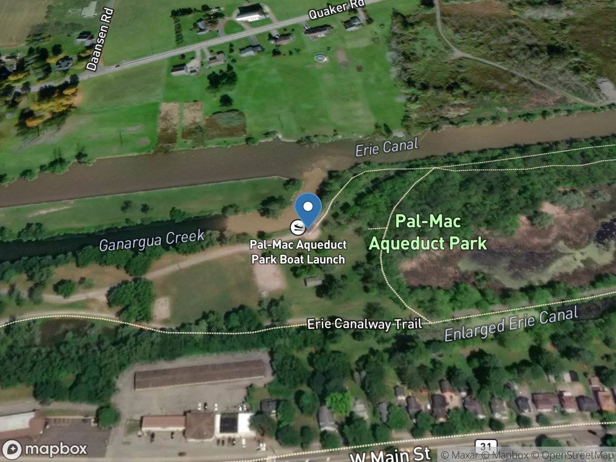
Palmyra Macedon Aqueduct Park, Mile 235.81
Access Site
Erie Canal
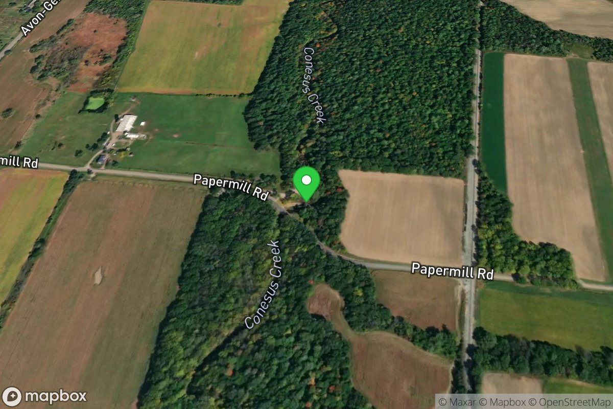
Papermill Falls
Access Site
Conesus Creek
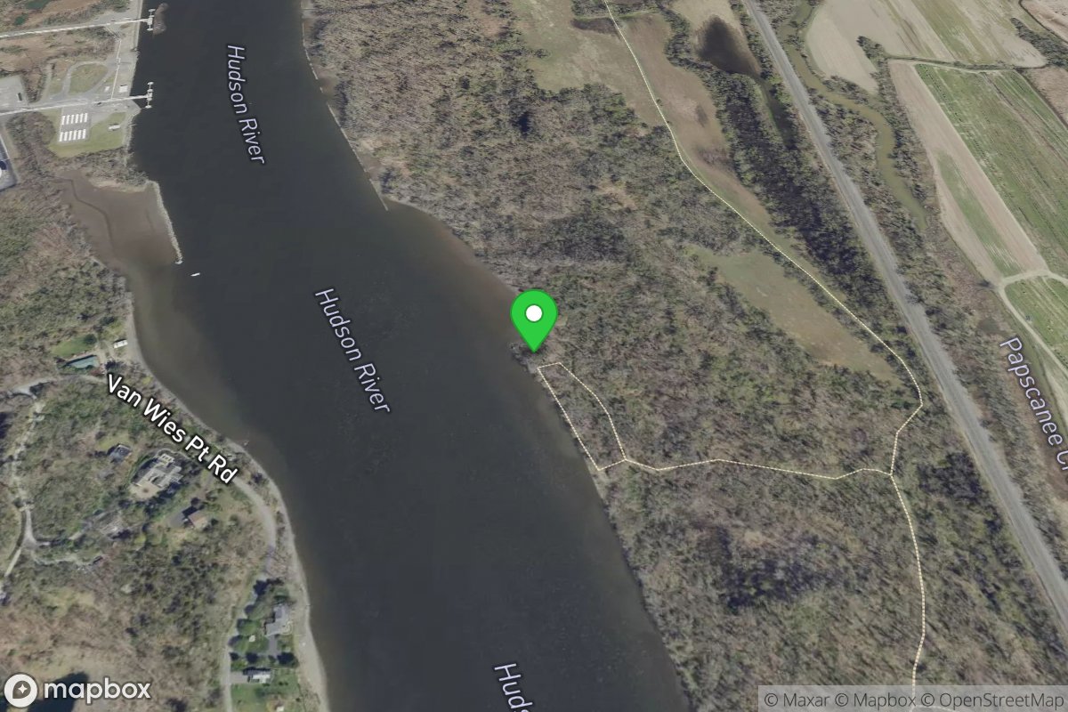
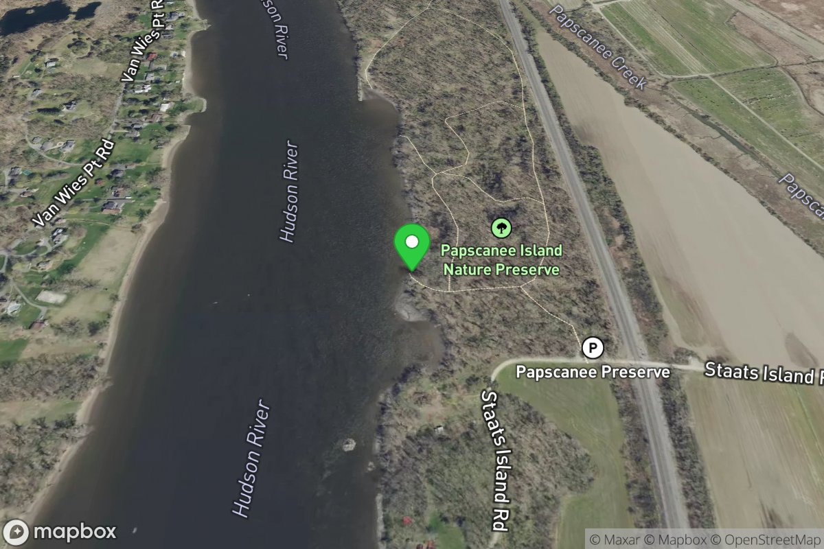
Papscanee Island Nature Preserve North Site
Access Site
Hudson
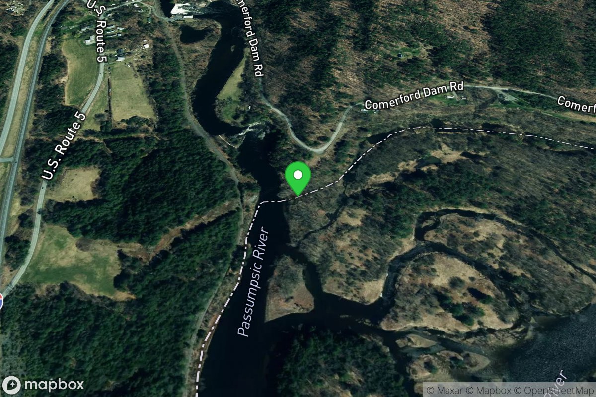
Papscanee Island Nature Preserve South Site
Access Site
Hudson
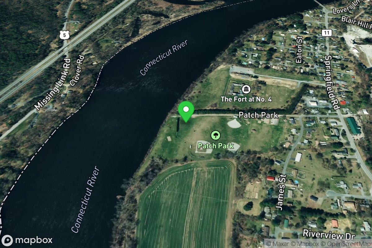
Passumpsic River Access
Access Site
Connecticut River
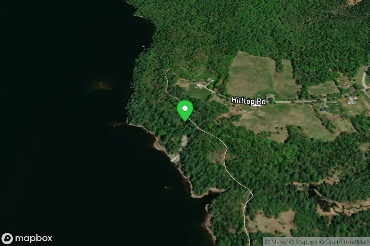
Patch Park
Access Site
Connecticut River
Pattenville Boat Launch
Access Site
Connecticut River
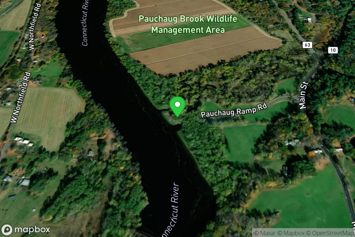
Pauchaug Brook
Access Site
Connecticut River
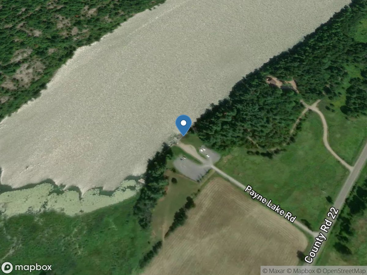
Payne Lake
Access Site
Payne Lake
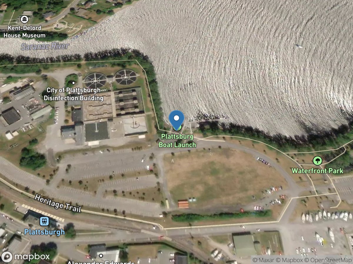
Peace Point Park
Access Site
Lake Champlain
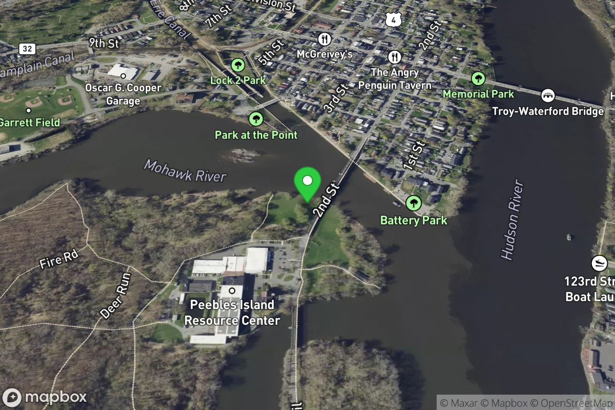
Peebles Island State Park
Access Site
Hudson
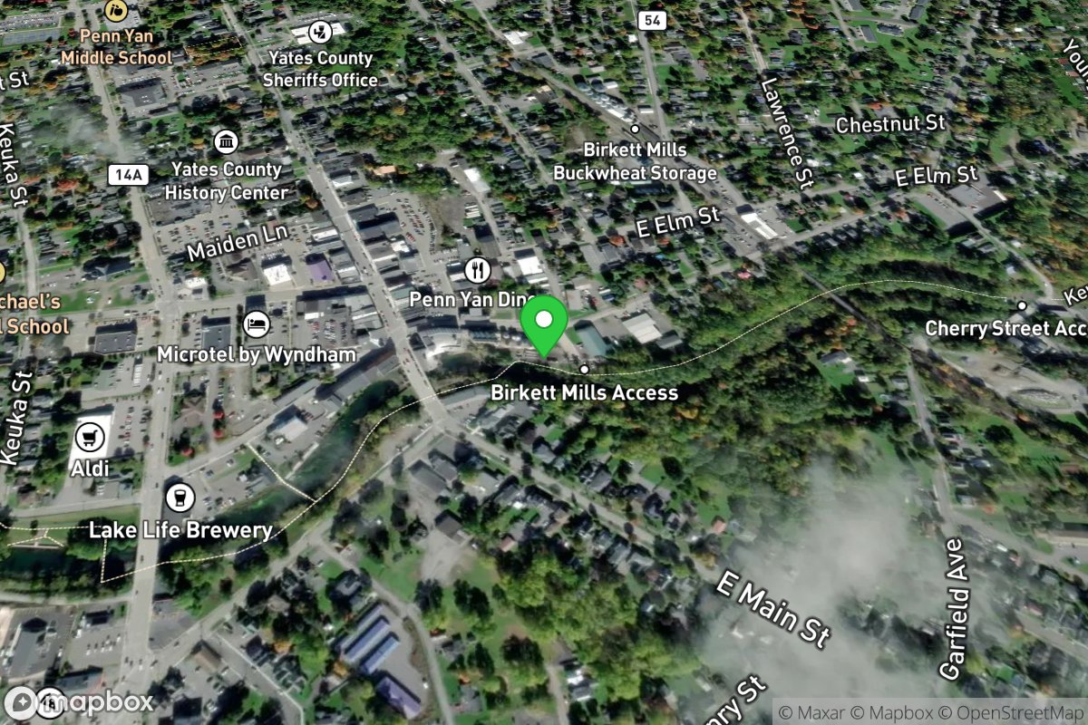
Penn Yan Putin
Access Site
Keuka Outlet
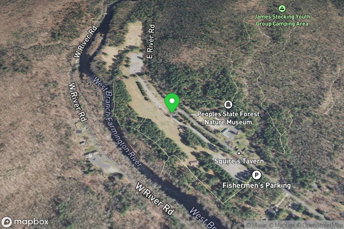
Peoples State Forest
Access Site
Farmington
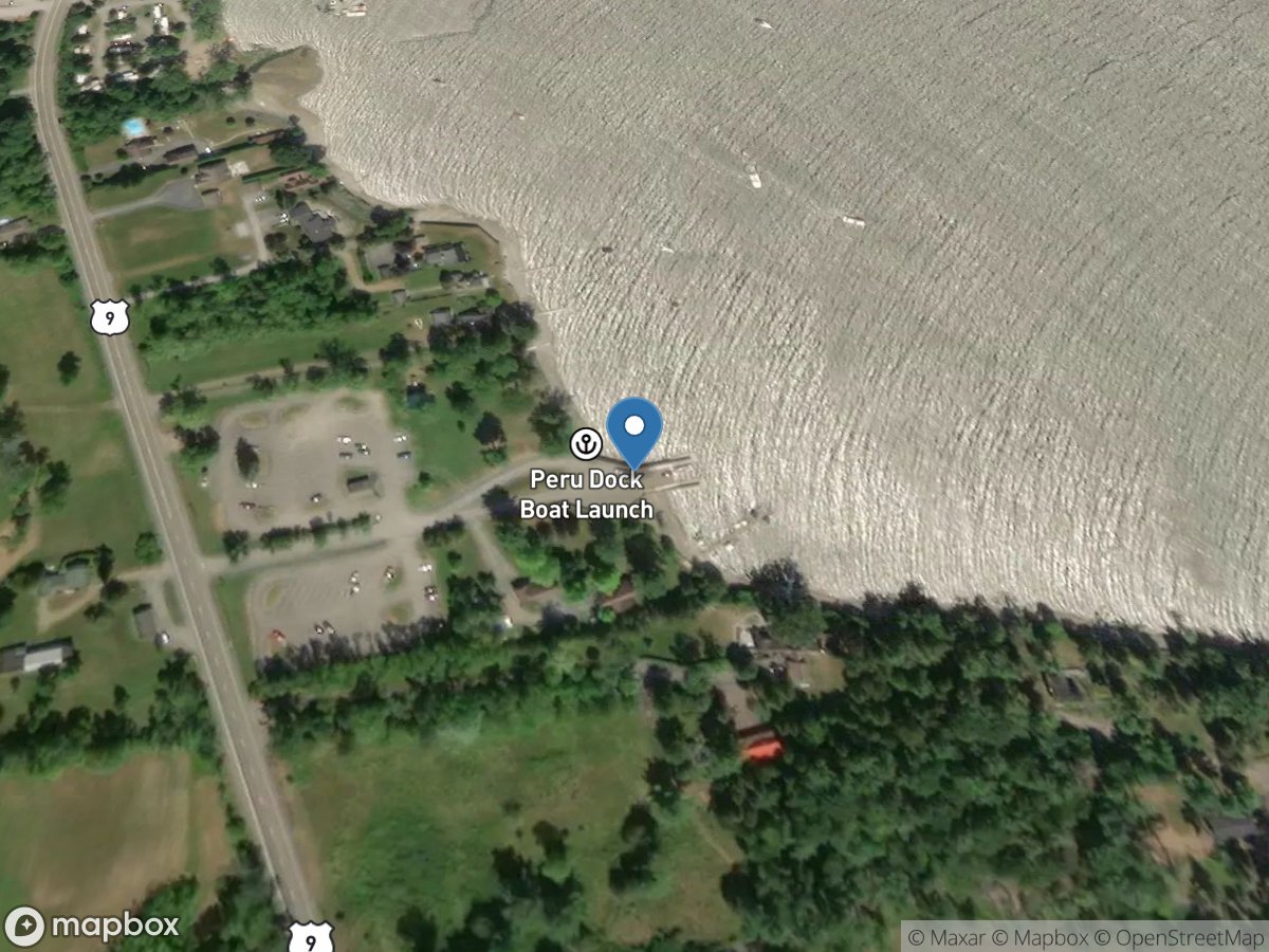
Peru
Access Site
Lake Champlain
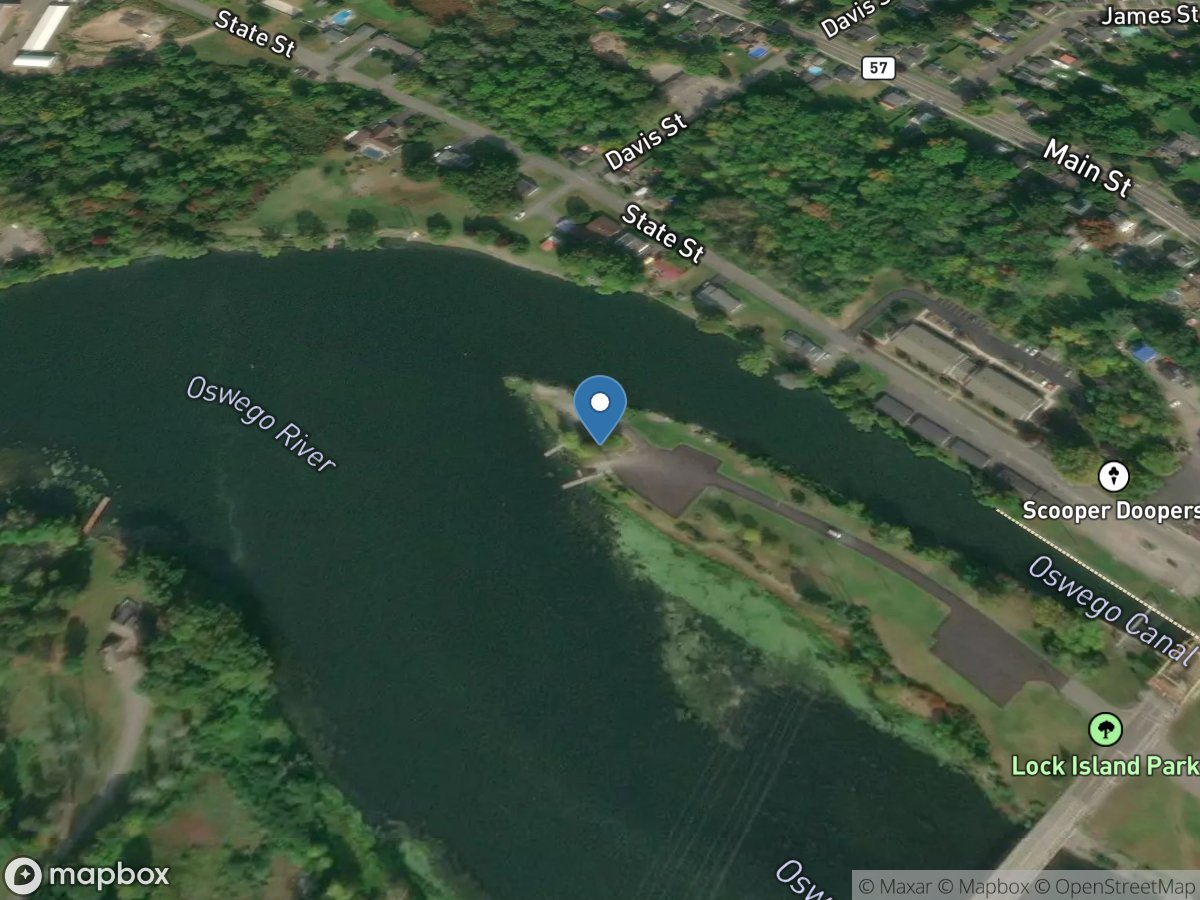
Phoenix, Mile 2.33
Access Site
Oswego Canal - Oswego River
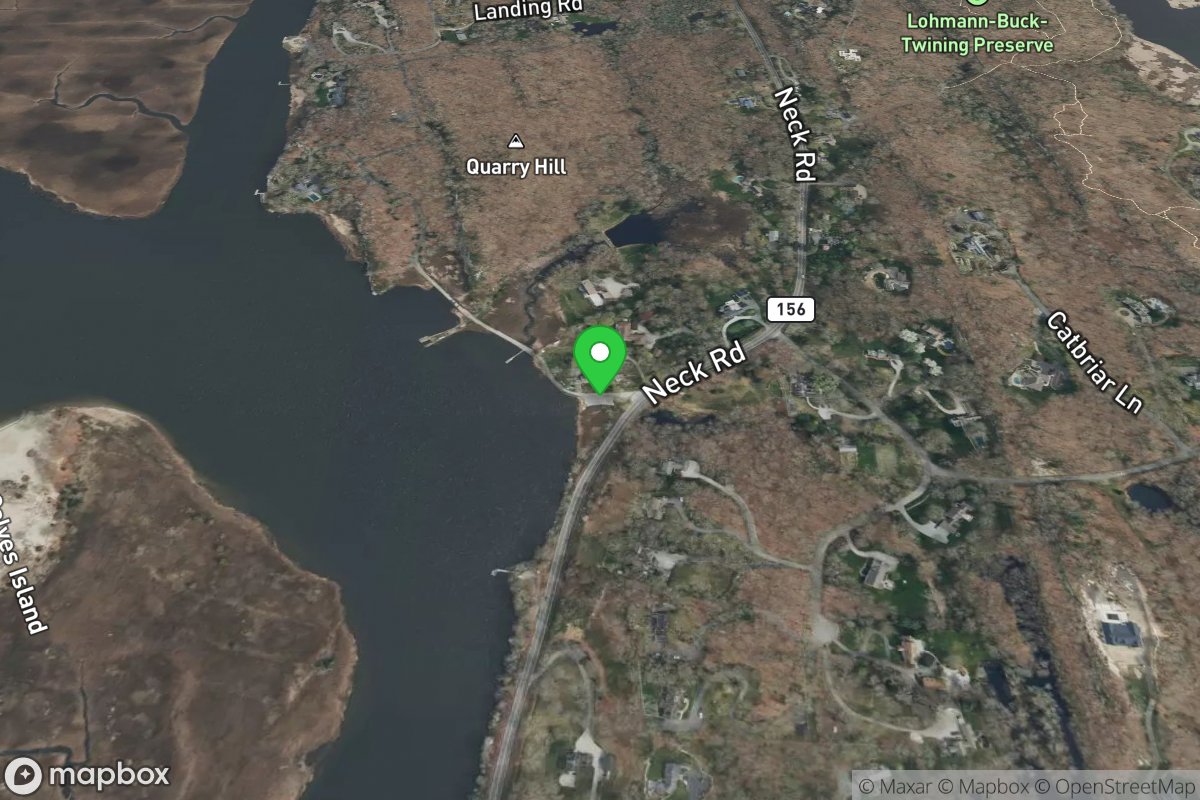
Pilgrim Landing
Access Site
Connecticut River
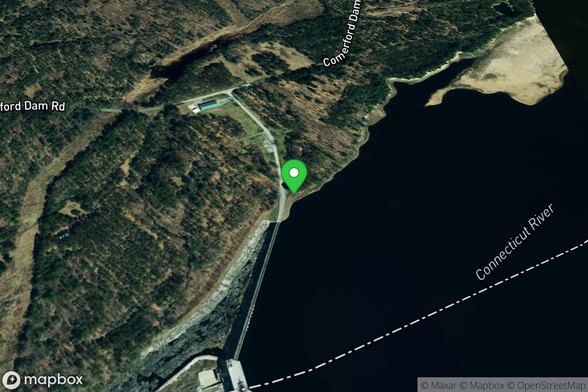
Pine Grove Boat Launch
Access Site
Connecticut River
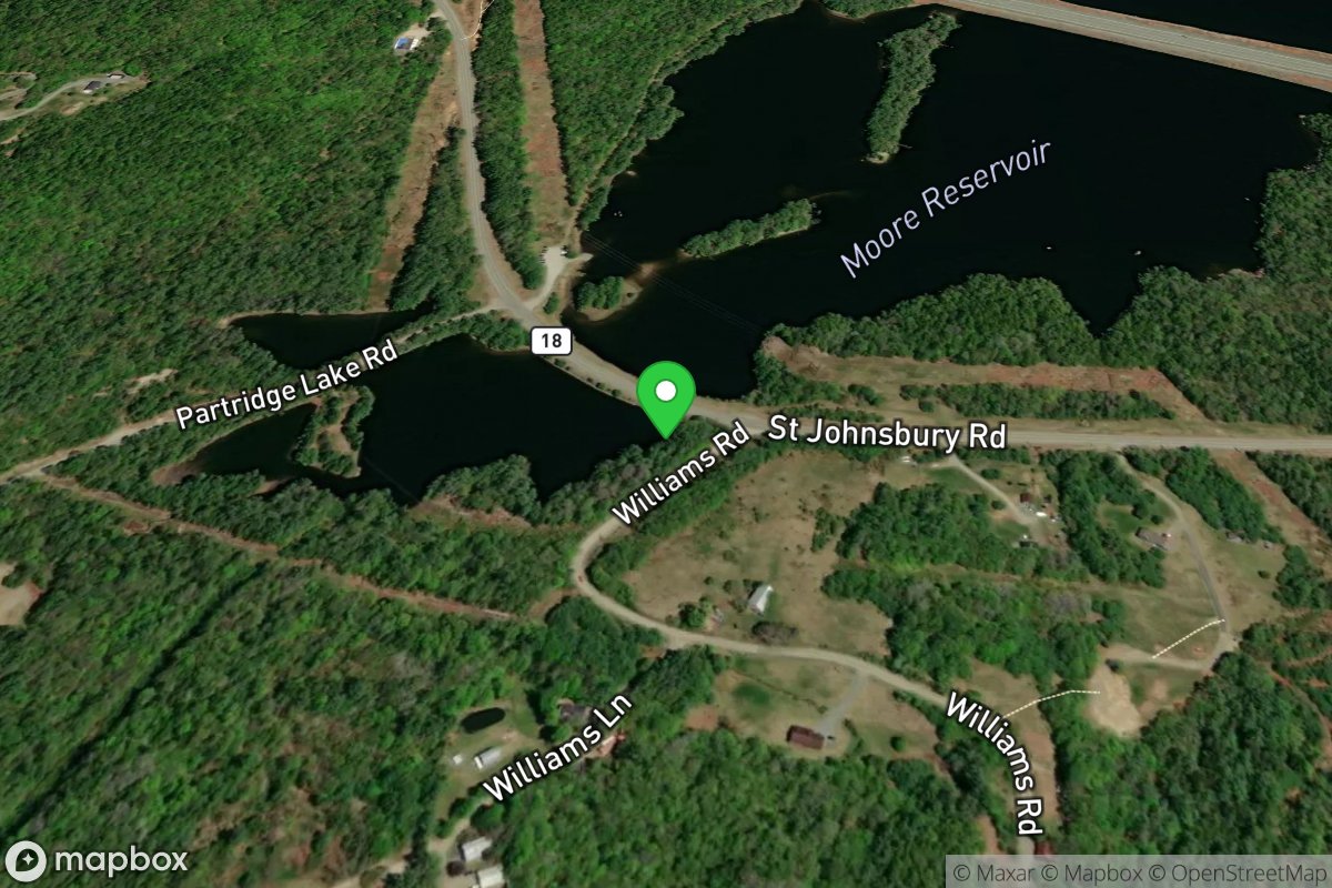
Pine Island Boat Launch:
Access Site
Connecticut River
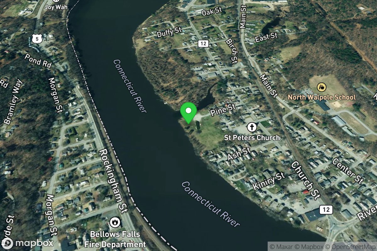
Pine Street Boat Launch
Access Site
Connecticut River
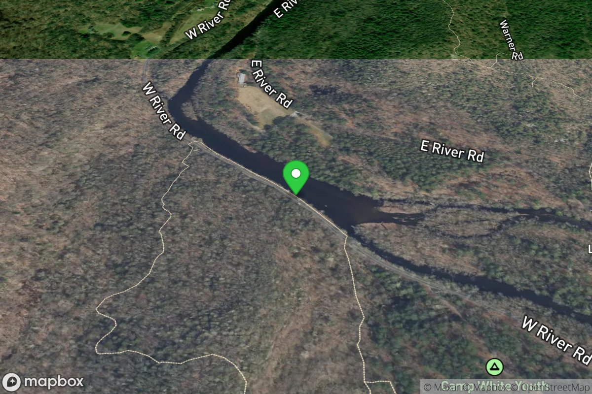
Pipeline Crossing
Access Site
Farmington
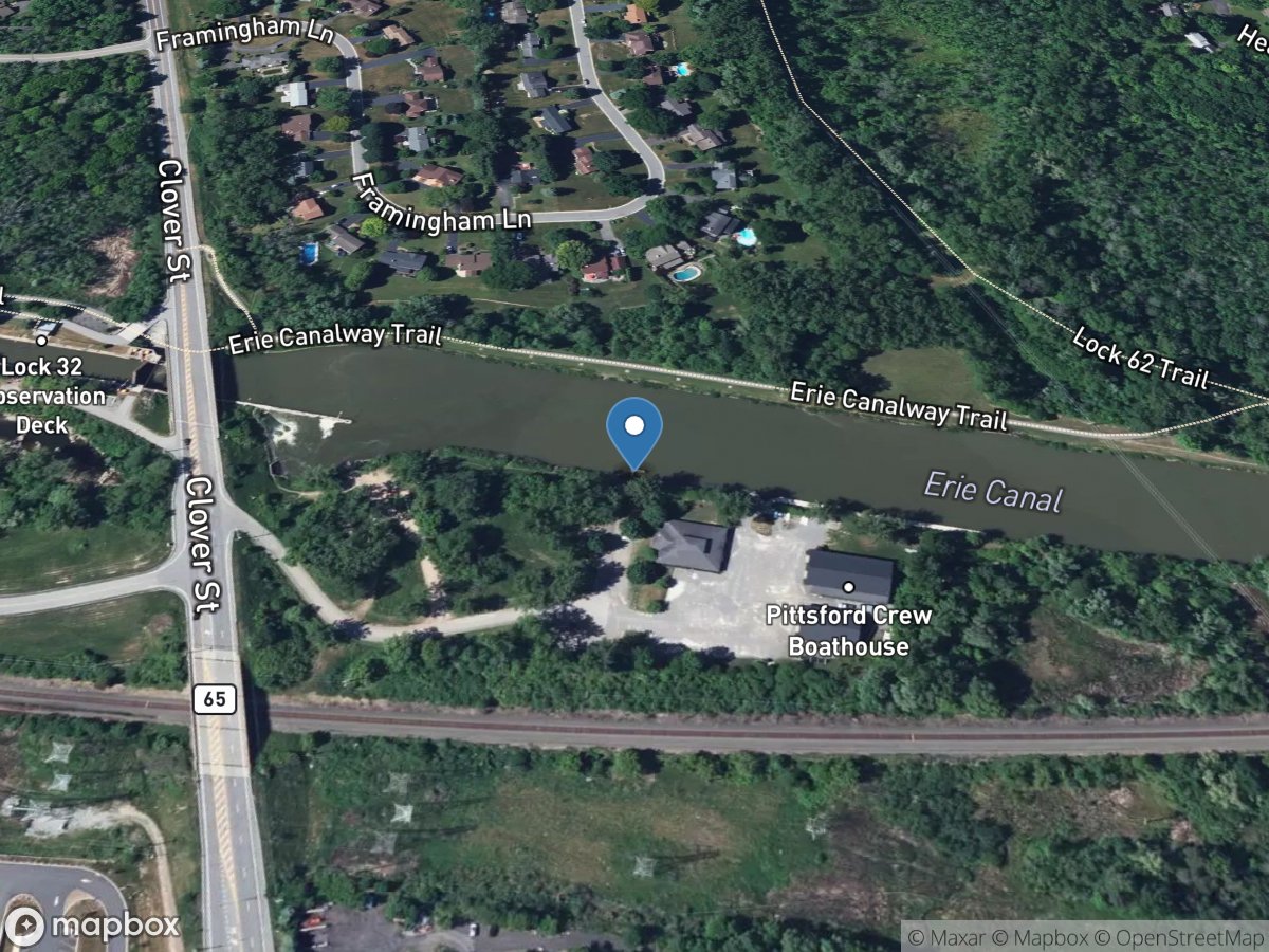
Pittsford, Mile 254.94
Access Site
Erie Canal
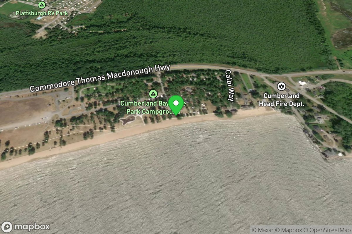
Plattsburgh
Access Site
Northern Forest Canoe Trail
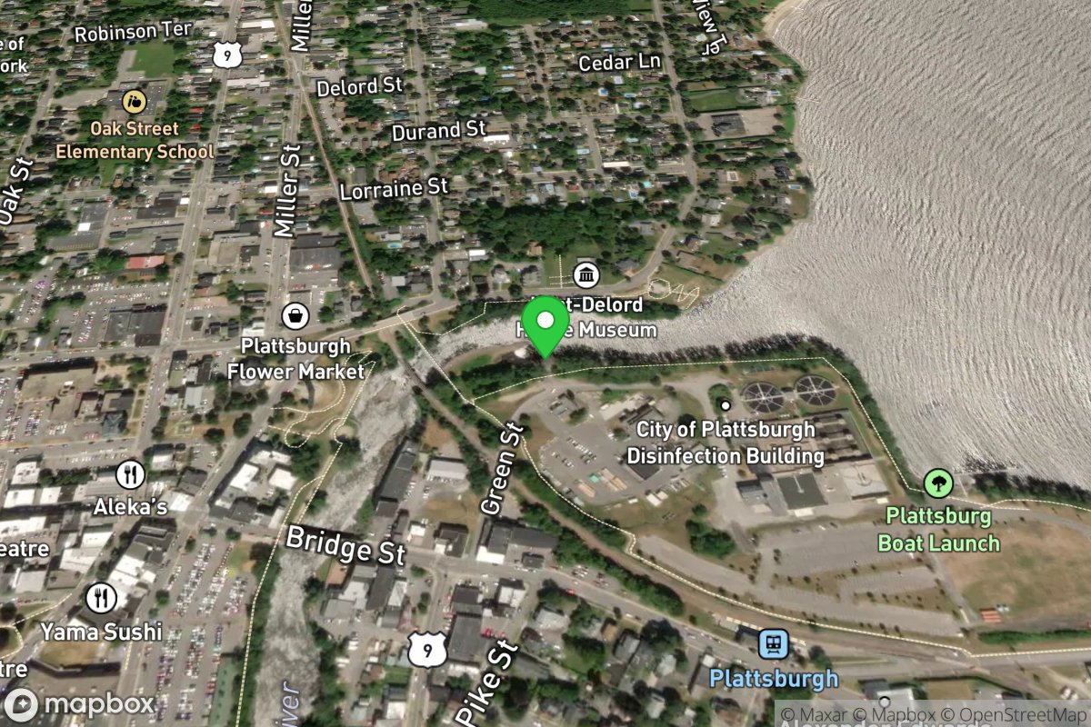
Plattsburgh
Access Site
Northern Forest Canoe Trail