Access Sites in California
Find mapped boat ramps, launches, and public water access points across the United States.
1,840
Total Sites
24
Loaded
1
Regions
Map view
Explore nearby access
Pan or zoom to load the sites in view, then open a marker for details and directions.
Interactive access map
Loads after the directory is visible.
Loading...
Navigation Tips
- Zoom in to load more sites in your area of interest
- Click on clusters (numbered circles) to zoom into that area
- Click on individual markers for site details and directions
- Use scroll wheel or pinch to zoom, drag to pan
Directory results
Loaded access sites
The list reflects the current page and can be narrowed with the search field.
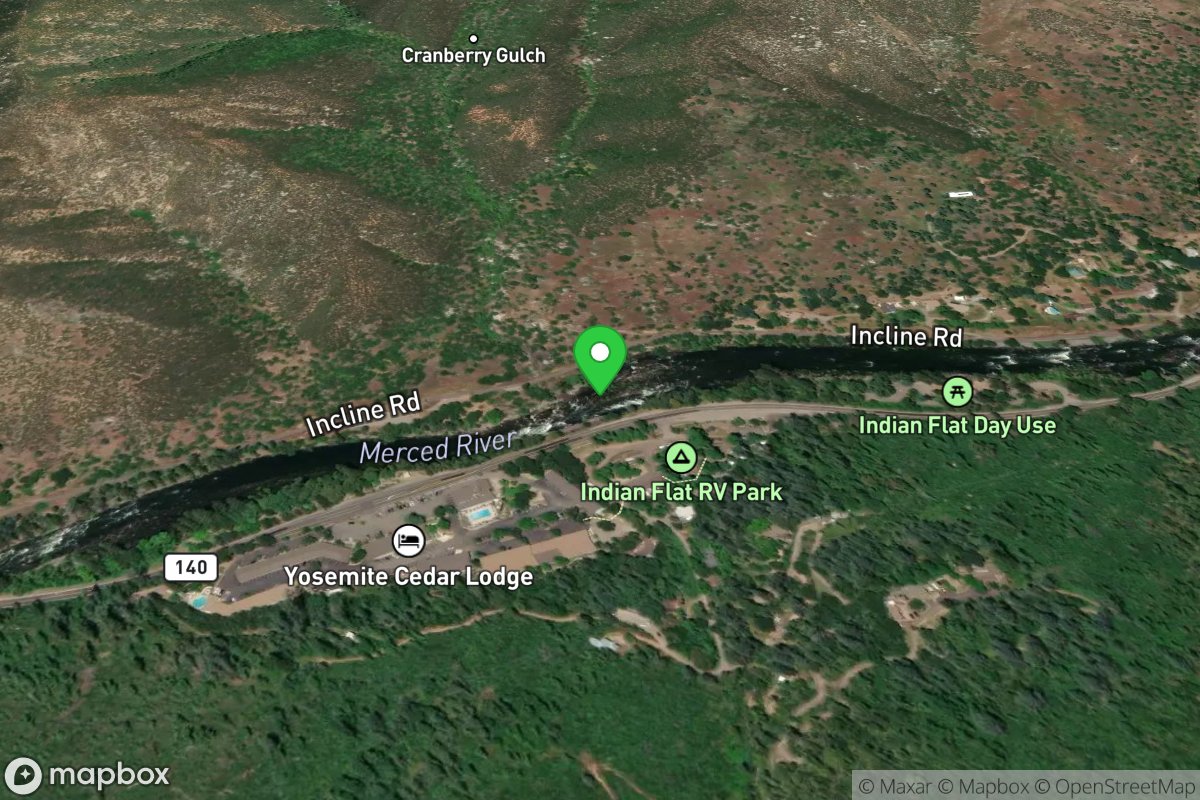
Cranberry Flat Day Use Picnic Site
Access Site
Merced River
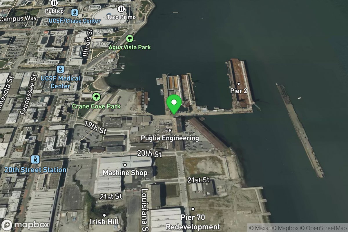
Crane Cove Park/Pier 70
Access Site
Southern San Francisco Waterfront
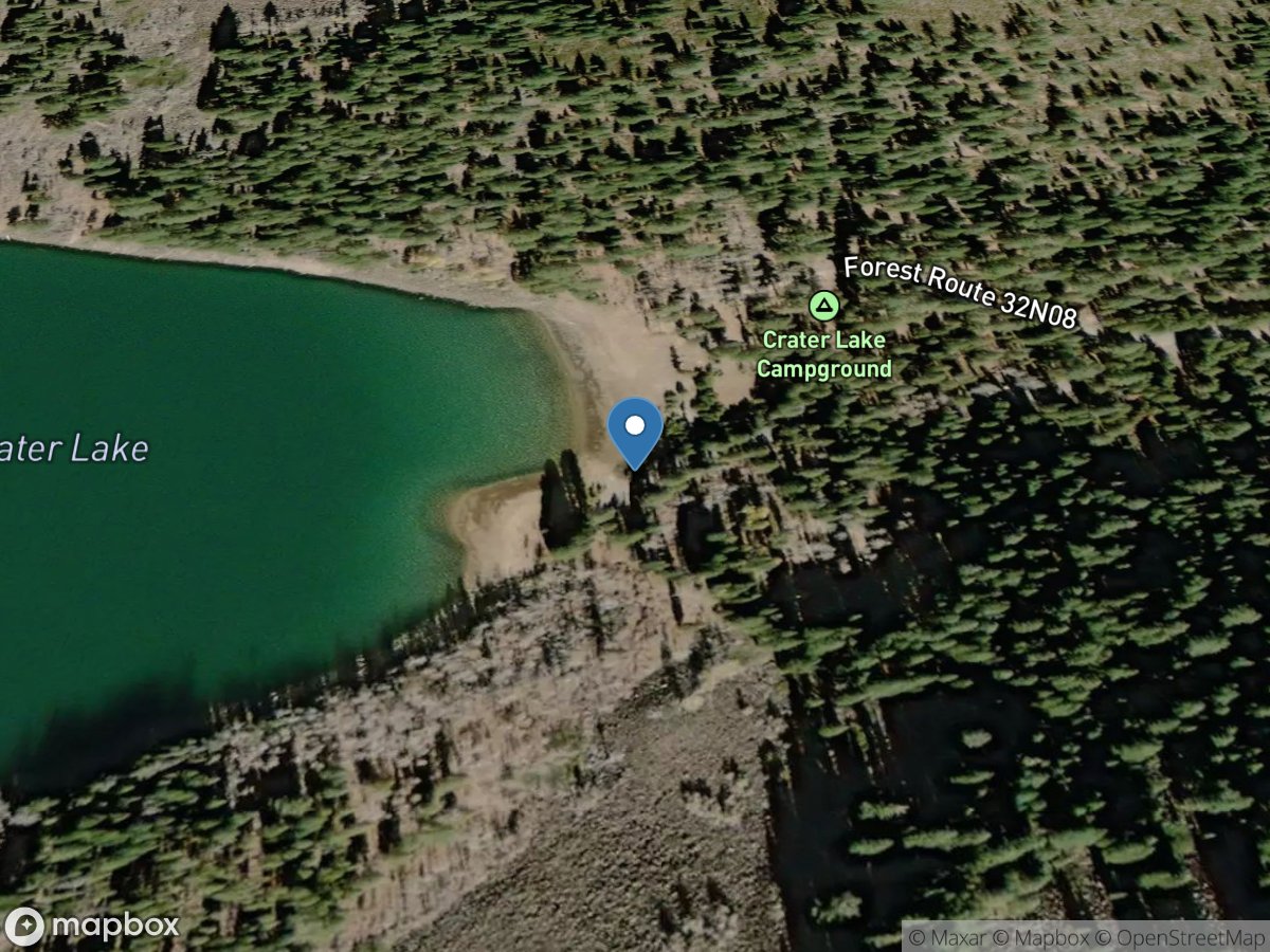
Crate Lake
Access Site
Crater Lake
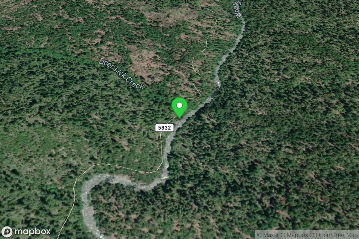
Creek Access (short run put-in)
Access Site
Wooley Creek
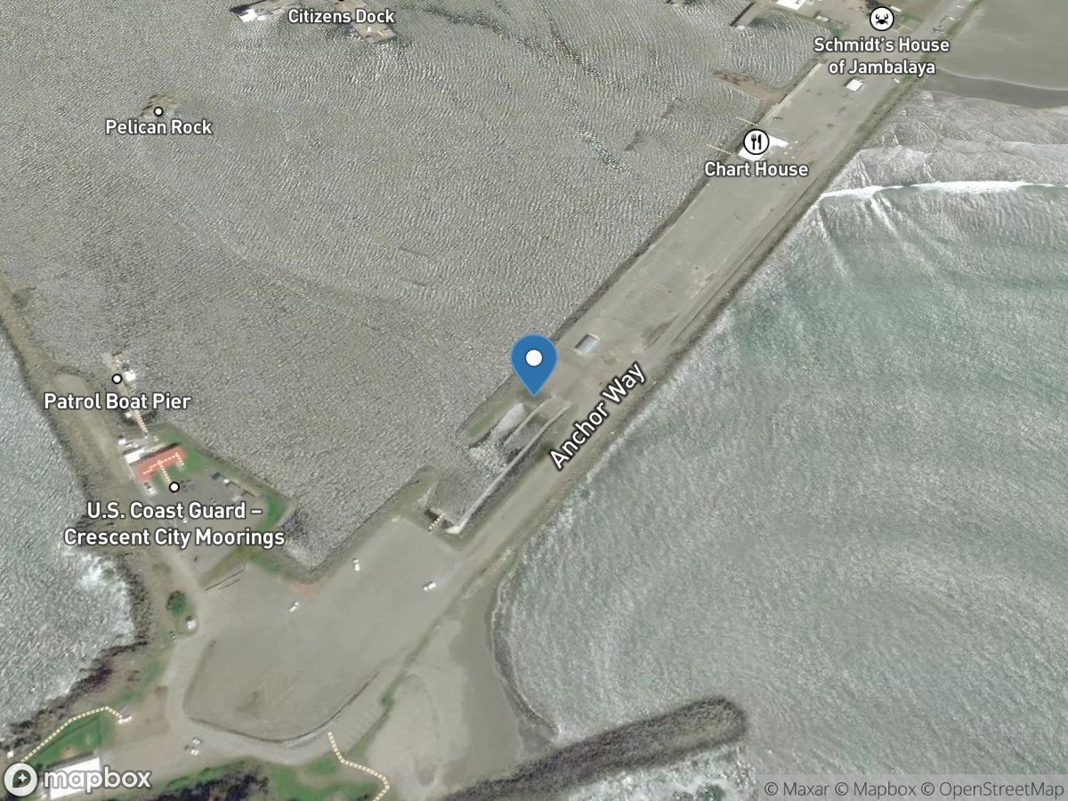
Crescent City (Whaler Island)
Access Site
Crescent City Harbor
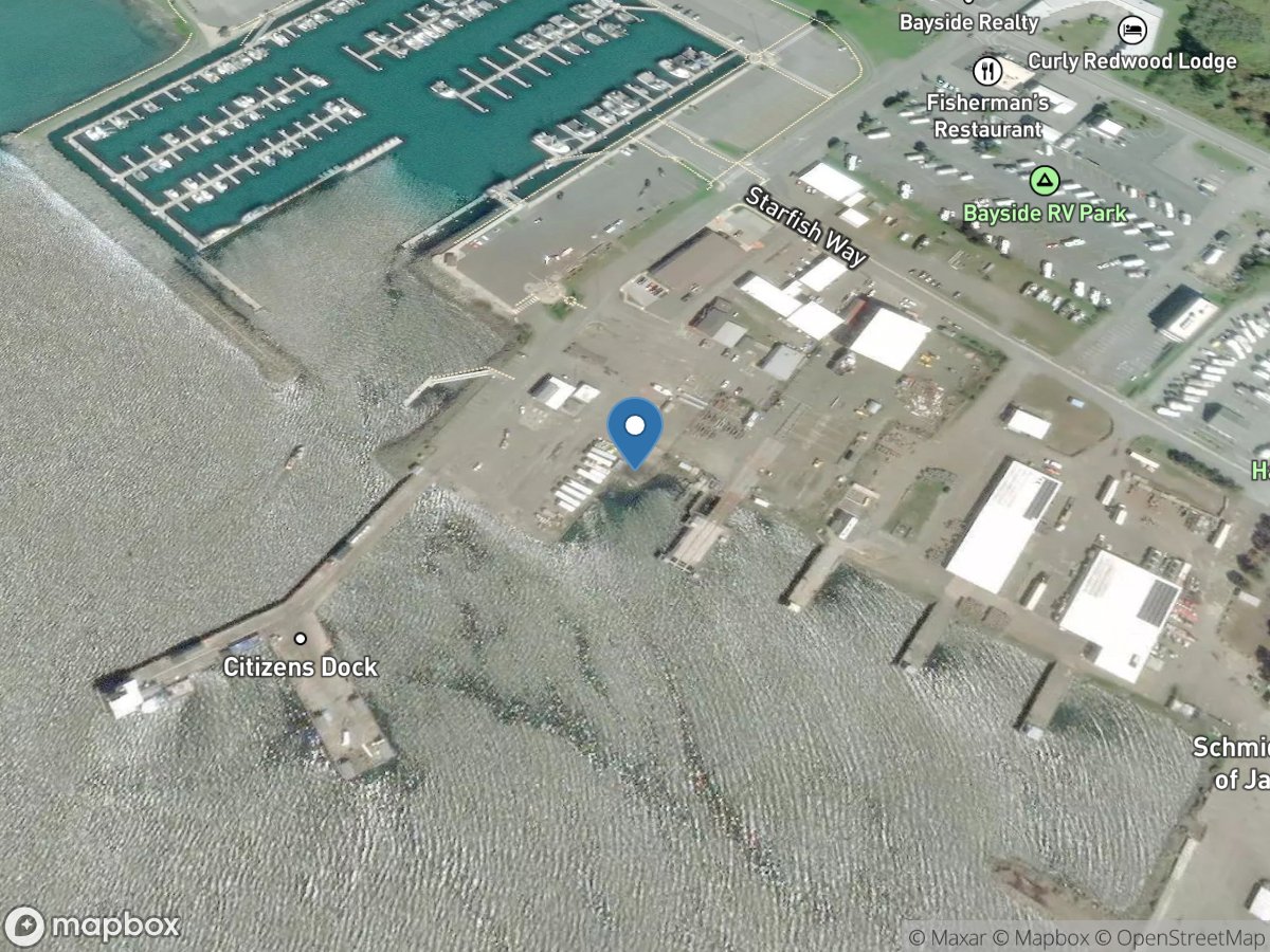
Crescent City Harbor District
Access Site
Crescent City Harbor
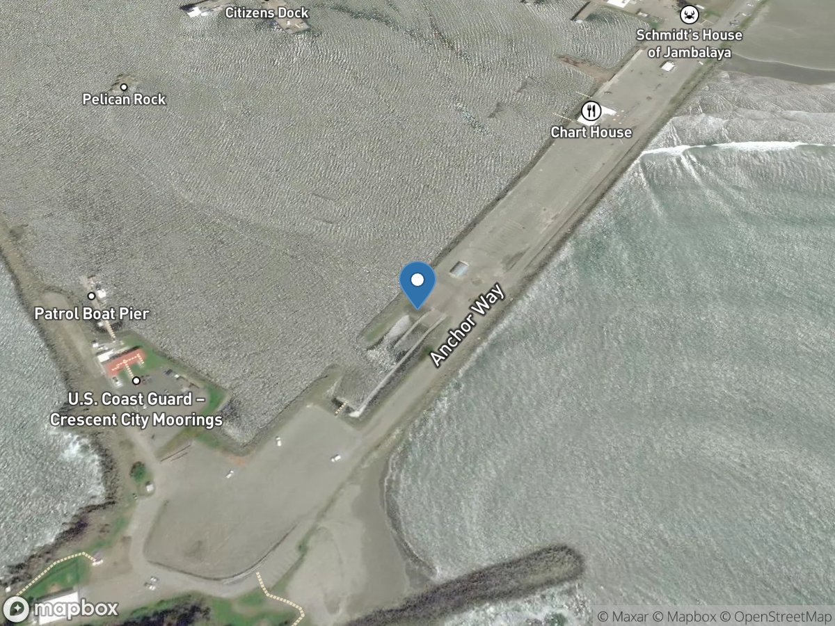
Crescent Harbor
Access Site
Crescent City Harbor
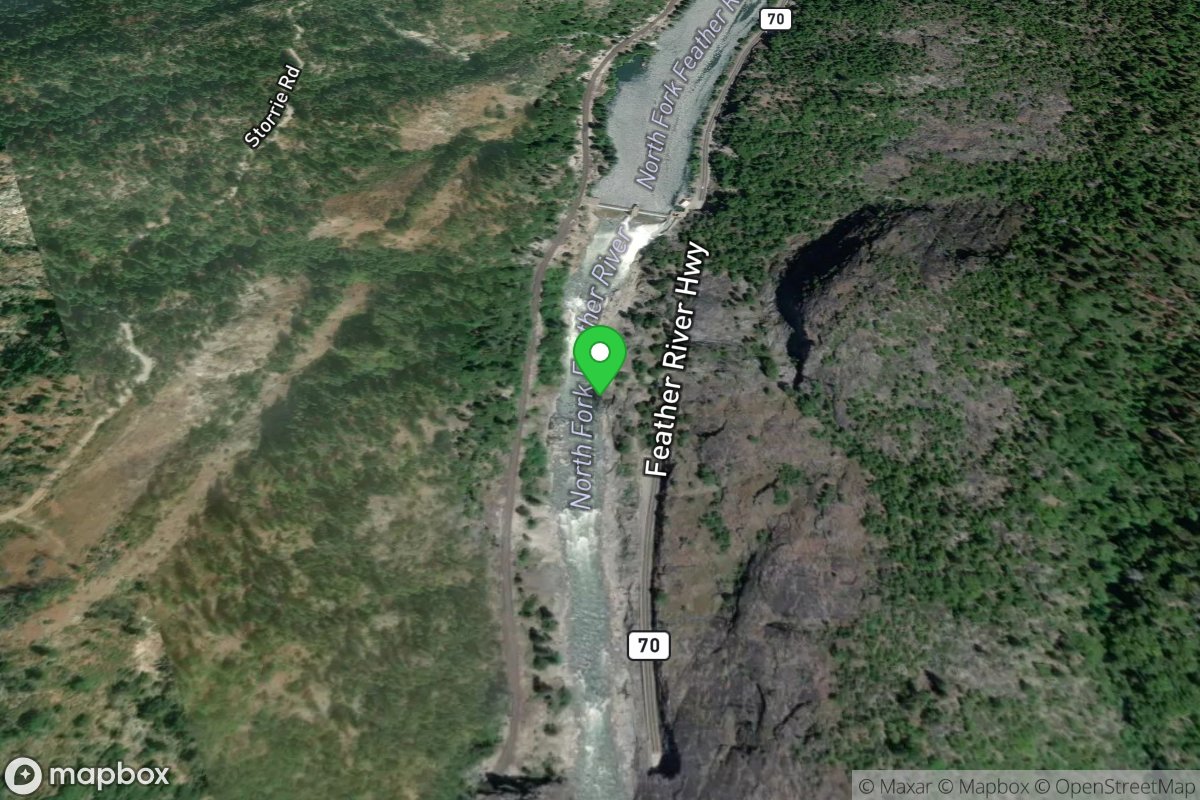
Cresta Dam
Access Site
Feather, N. Fork
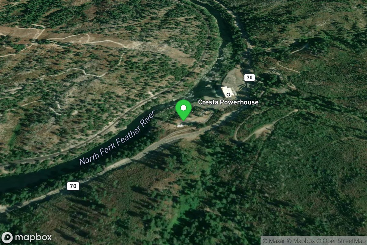
Cresta Powerhouse Take Out
Access Site
Feather, N. Fork
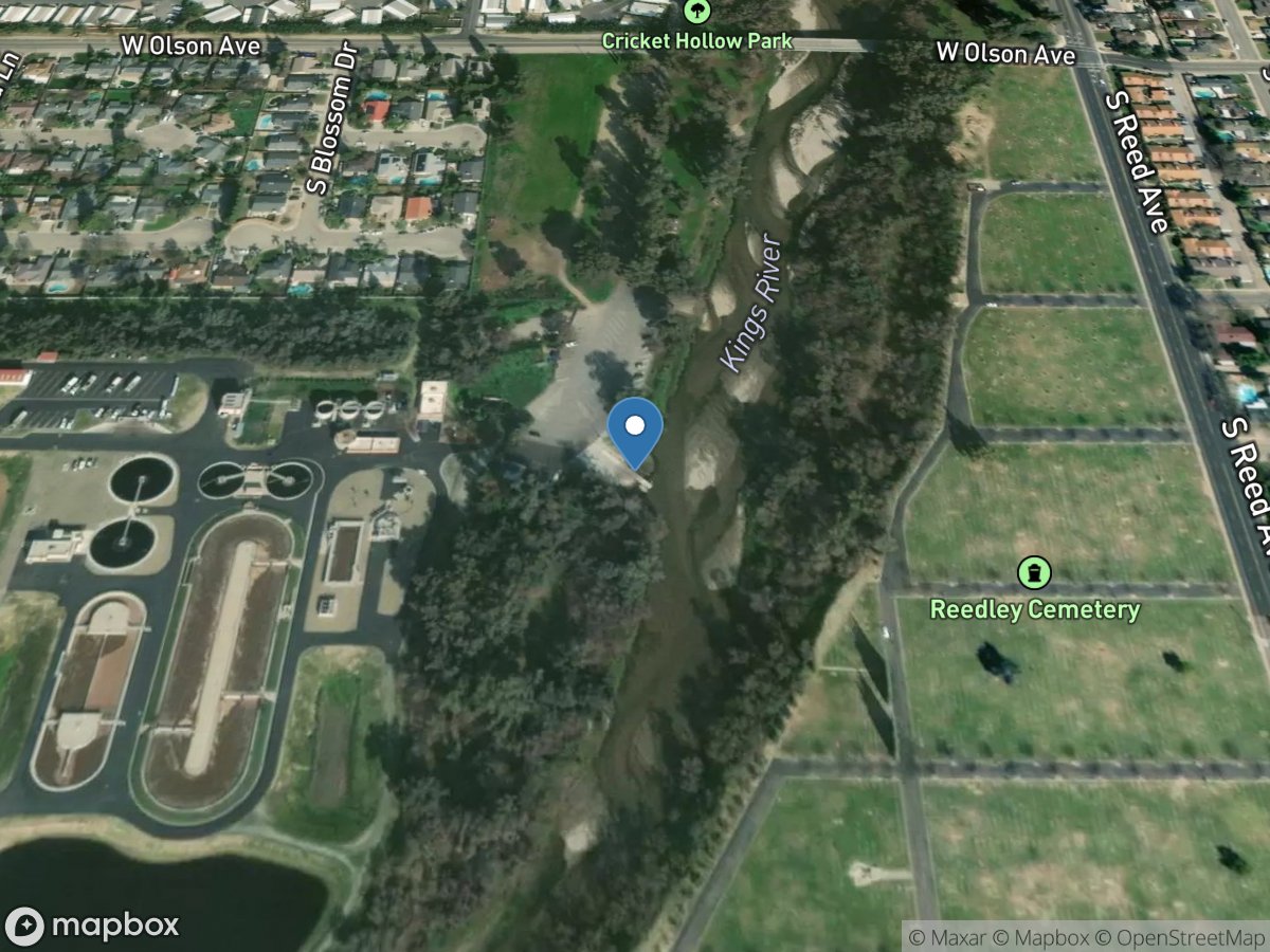
Cricket Hollow Park
Access Site
Kings River
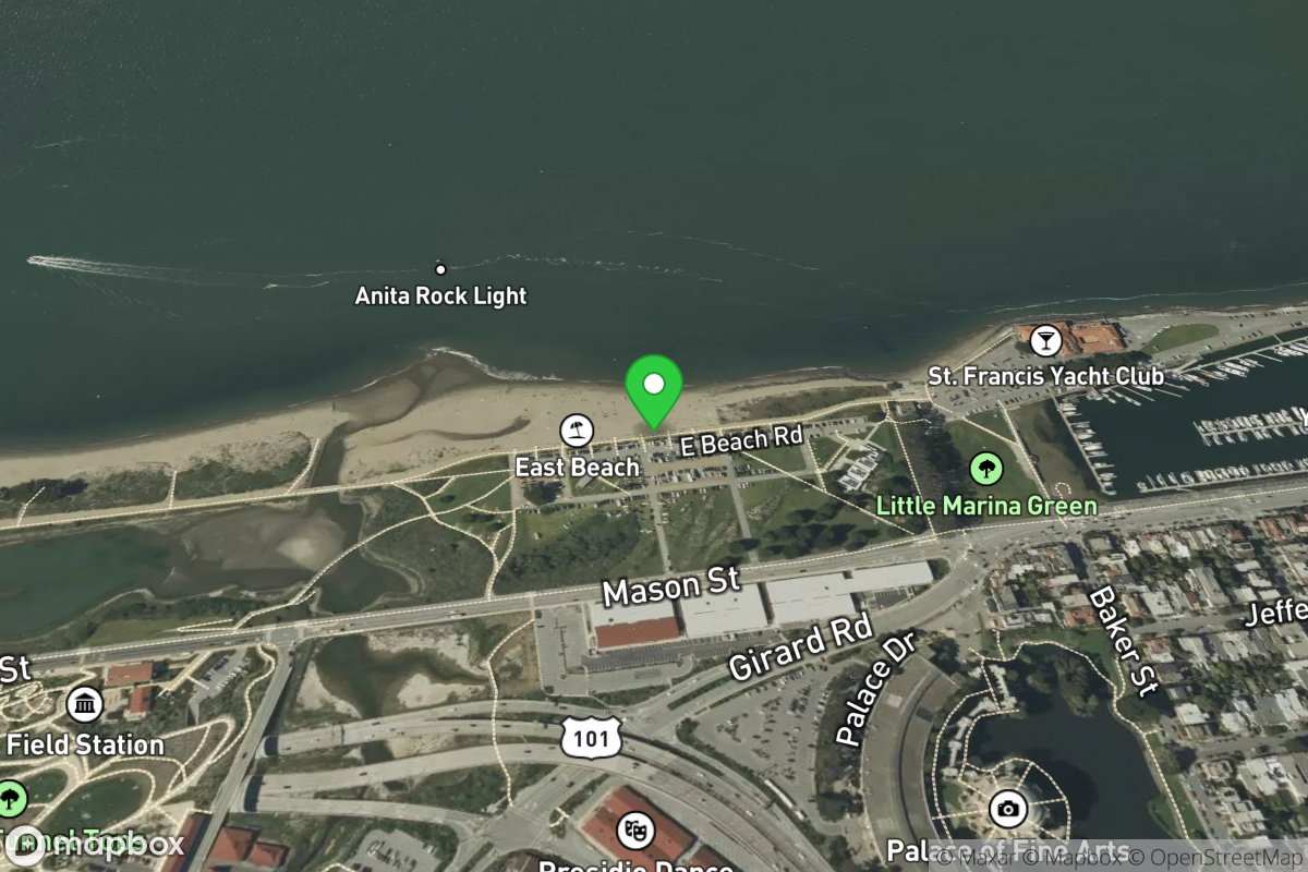
Crissy Field
Access Site
Northern San Francisco Waterfront
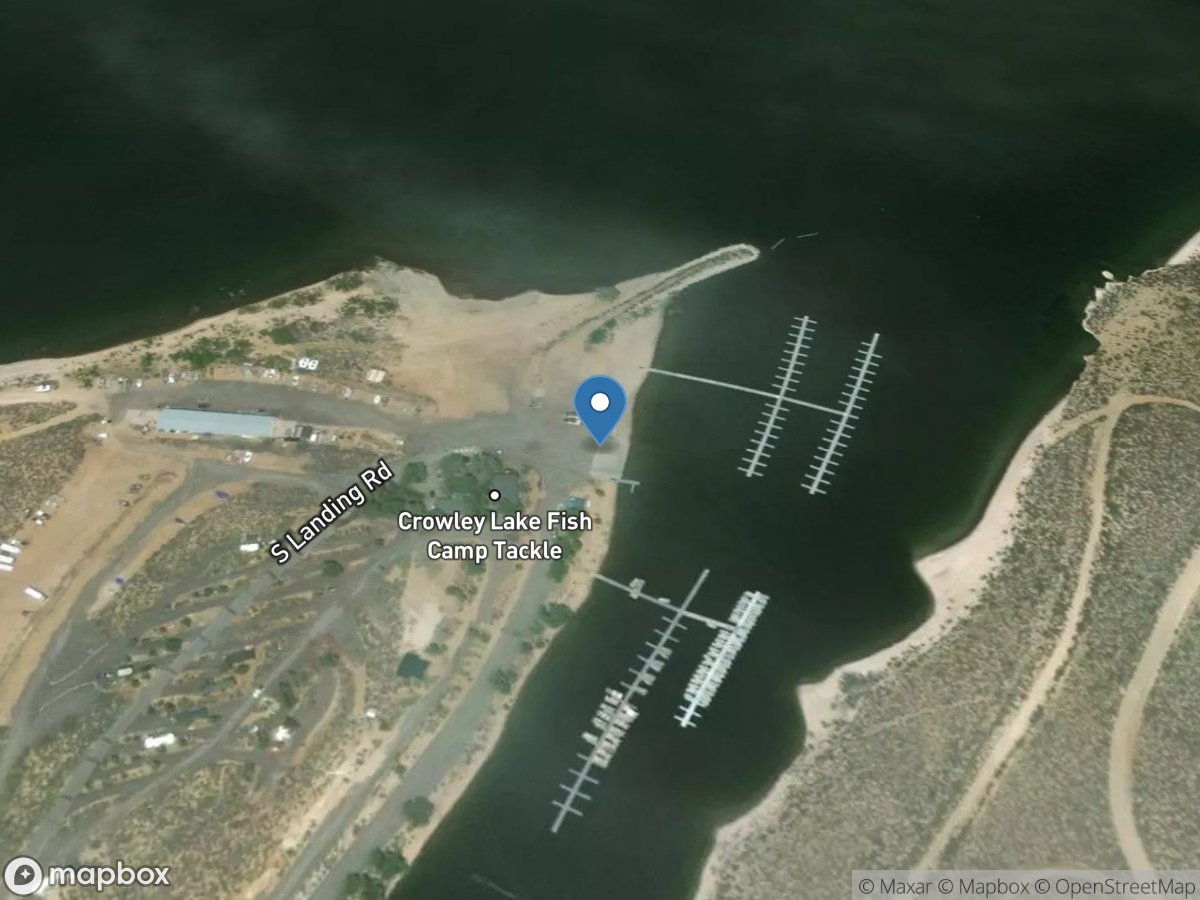
Crowley Lake
Access Site
Crowley Lake
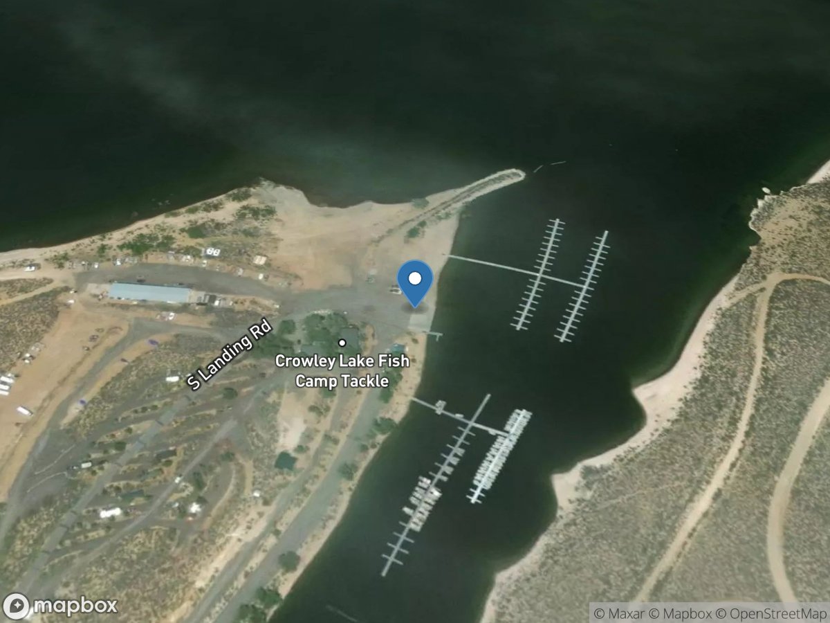
Crowley Lake Fish Camp
Access Site
Crowley Lake
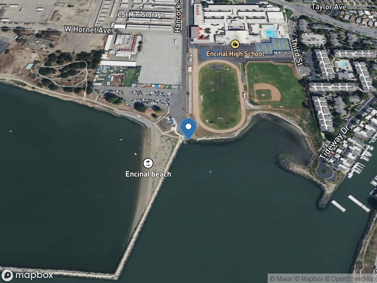
Crown Beach
Access Site
San Francisco Bay-East Bay
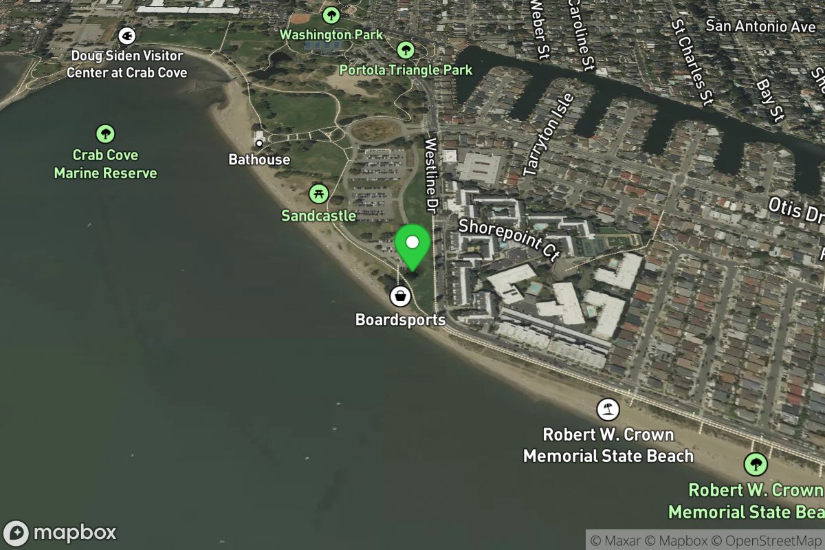
Crown Memorial State Beach
Access Site
Oakland Waterfront
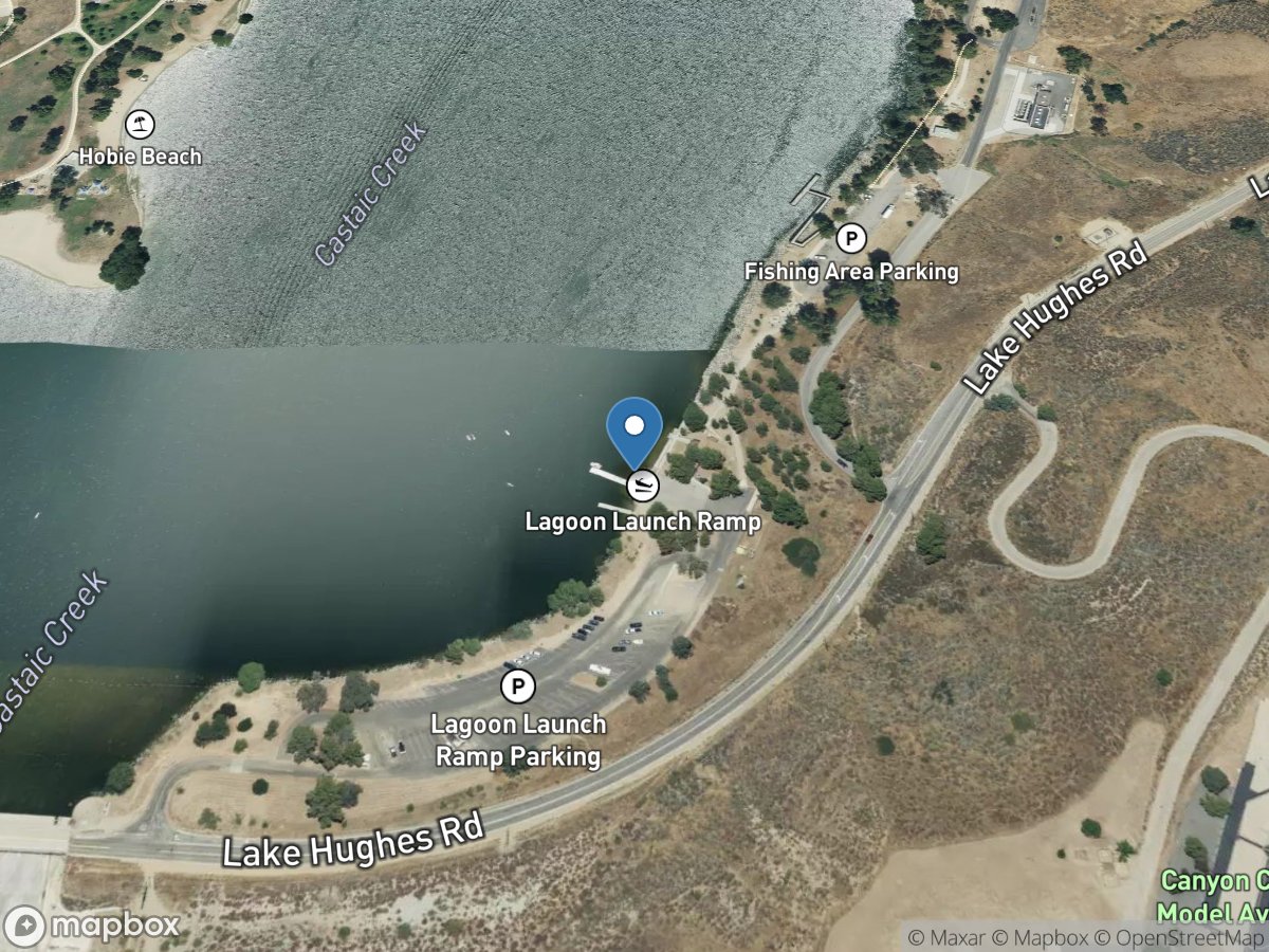
CSU Aquatic Center at Castiac Lake
Access Site
Castiac Lagoon
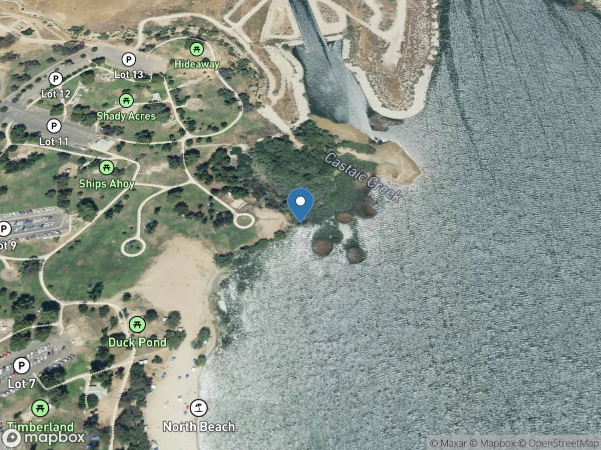
CSU Northridge Aquatic Center
Access Site
Castiac Lagoon
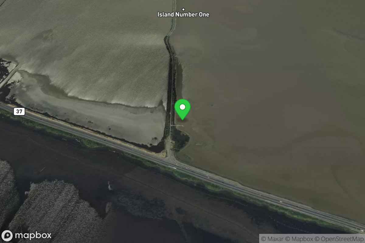
Cullinan Ranch
Access Site
Napa River
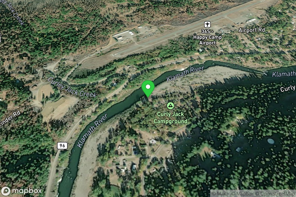
Curly Jack River Access
Access Site
Klamath
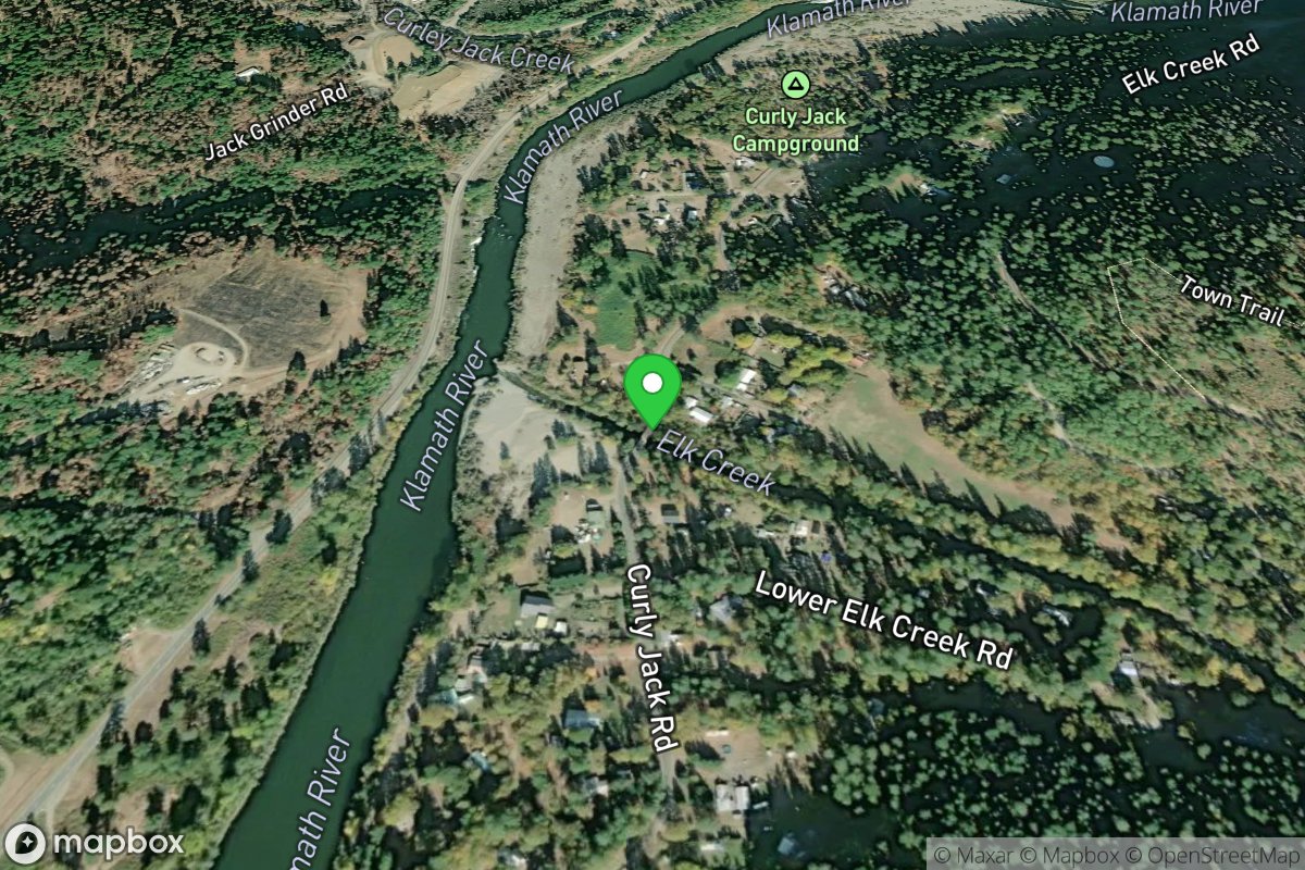
Curly Jack Road Take-out
Access Site
Elk Creek
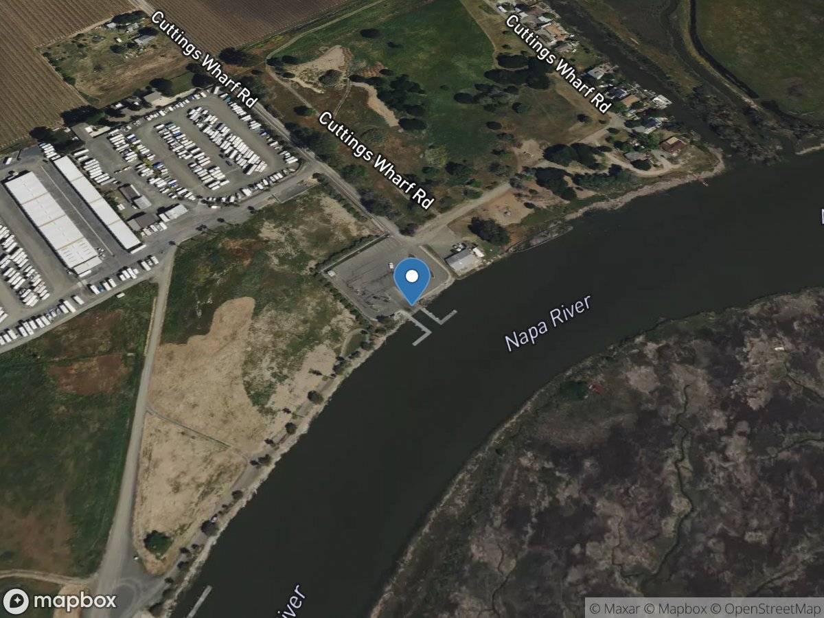
Cuttings Wharf
Access Site
Napa River
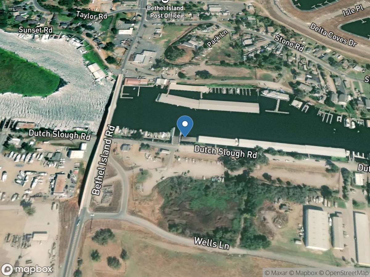
D'Anna's Bethel Island Resort Marina
Access Site
Sacramento-San Joaquin Delta
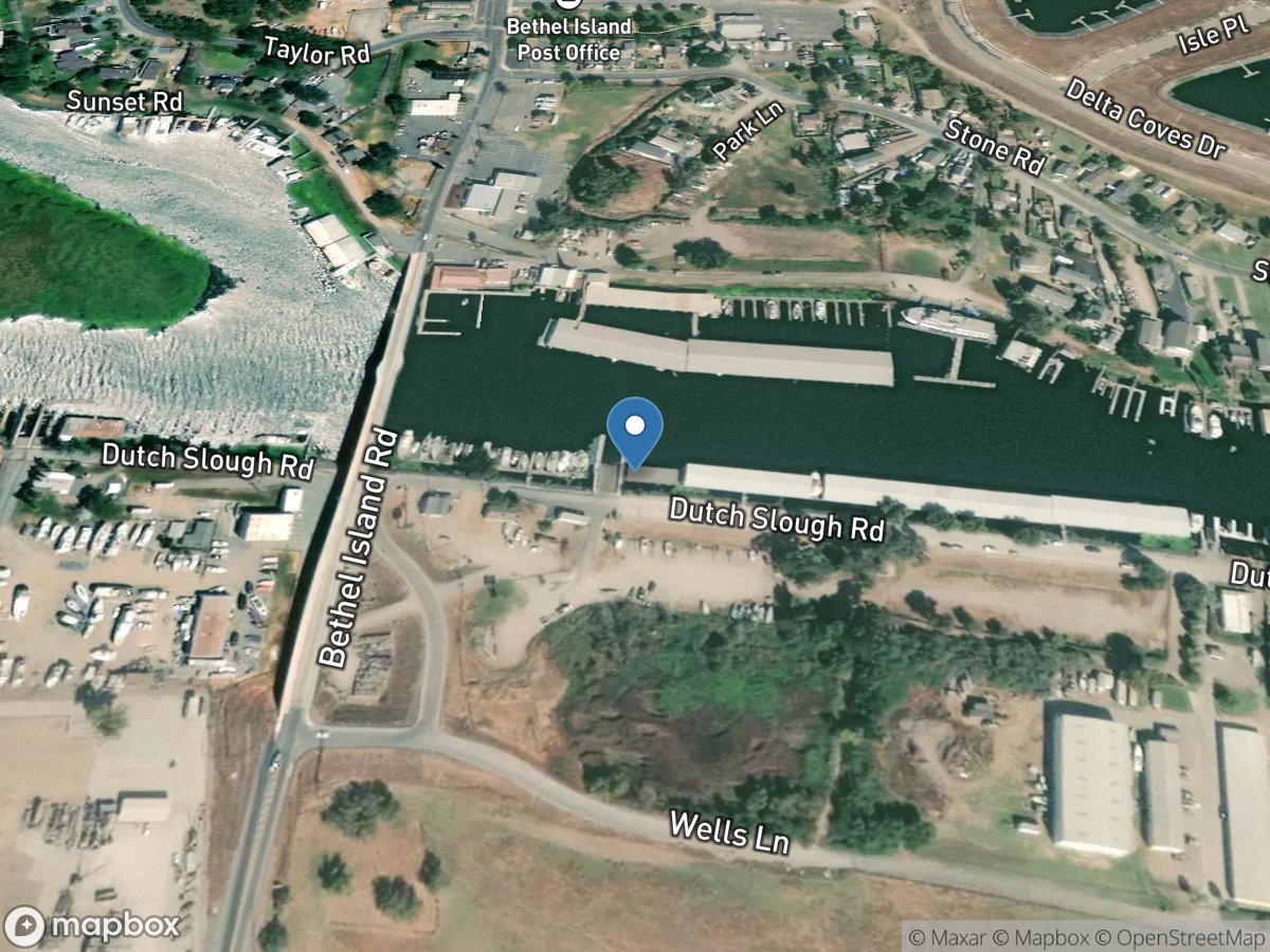
D'Anna's Yacht Center, Inc.
Access Site
Sacramento-San Joaquin Delta
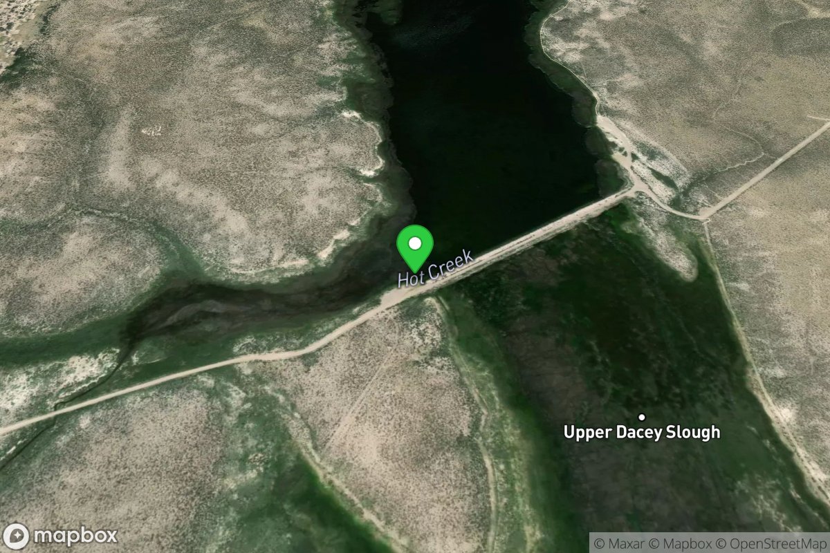
Dacey Reservoir Primitive Boat Launch
Access Site
Dacey Reservoir