Access Sites in New York
Find mapped boat ramps, launches, and public water access points across the United States.
1,195
Total Sites
24
Loaded
1
Regions
Map view
Explore nearby access
Pan or zoom to load the sites in view, then open a marker for details and directions.
Interactive access map
Loads after the directory is visible.
Loading...
Navigation Tips
- Zoom in to load more sites in your area of interest
- Click on clusters (numbered circles) to zoom into that area
- Click on individual markers for site details and directions
- Use scroll wheel or pinch to zoom, drag to pan
Directory results
Loaded access sites
The list reflects the current page and can be narrowed with the search field.
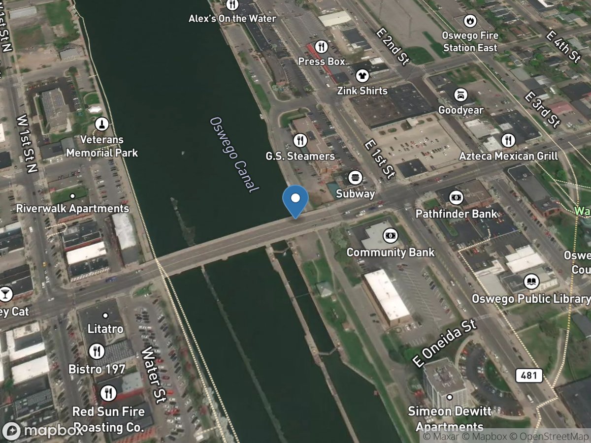
Lock O8, Mile 22.93 (Kevin Davis Memorial)
Access Site
Oswego Canal
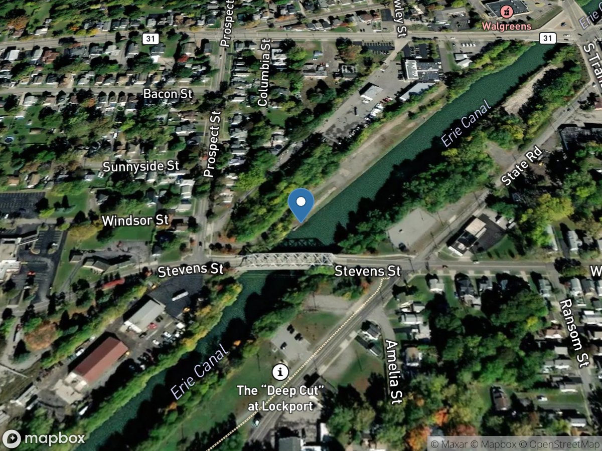
Lockport Upper Terminal, Mile 321.23
Access Site
Erie Canal
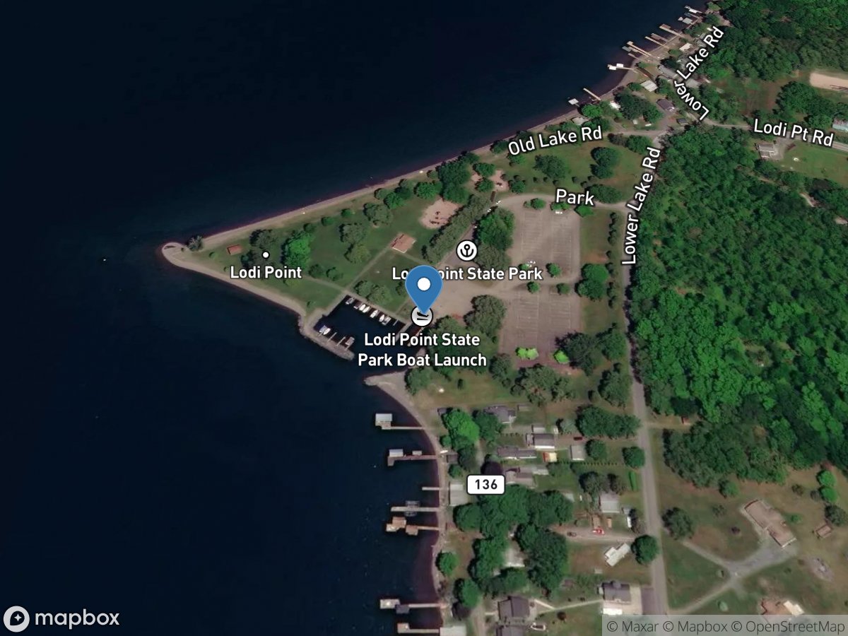
Lodi Point State Park, Mile 35.38
Access Site
Cayuga-Seneca Canal (Seneca Lake)
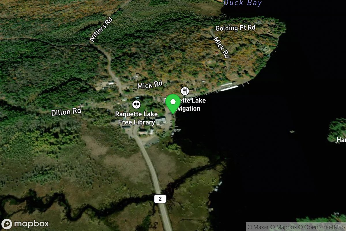
Long Lake
Access Site
Northern Forest Canoe Trail
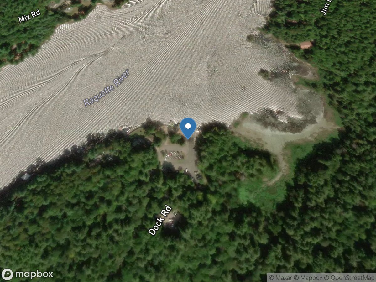
Long Lake
Access Site
Long Lake
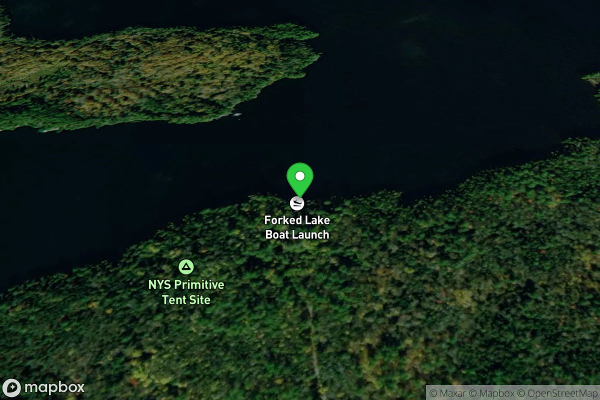
Long Lake
Access Site
Northern Forest Canoe Trail
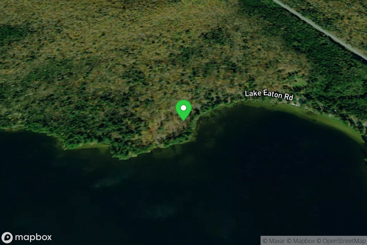
Long Lake
Access Site
Northern Forest Canoe Trail
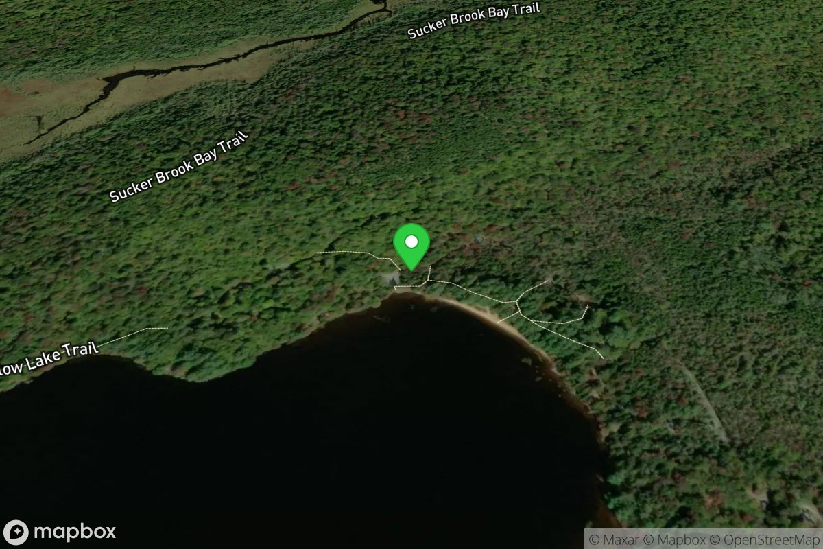
Long Lake
Access Site
Northern Forest Canoe Trail
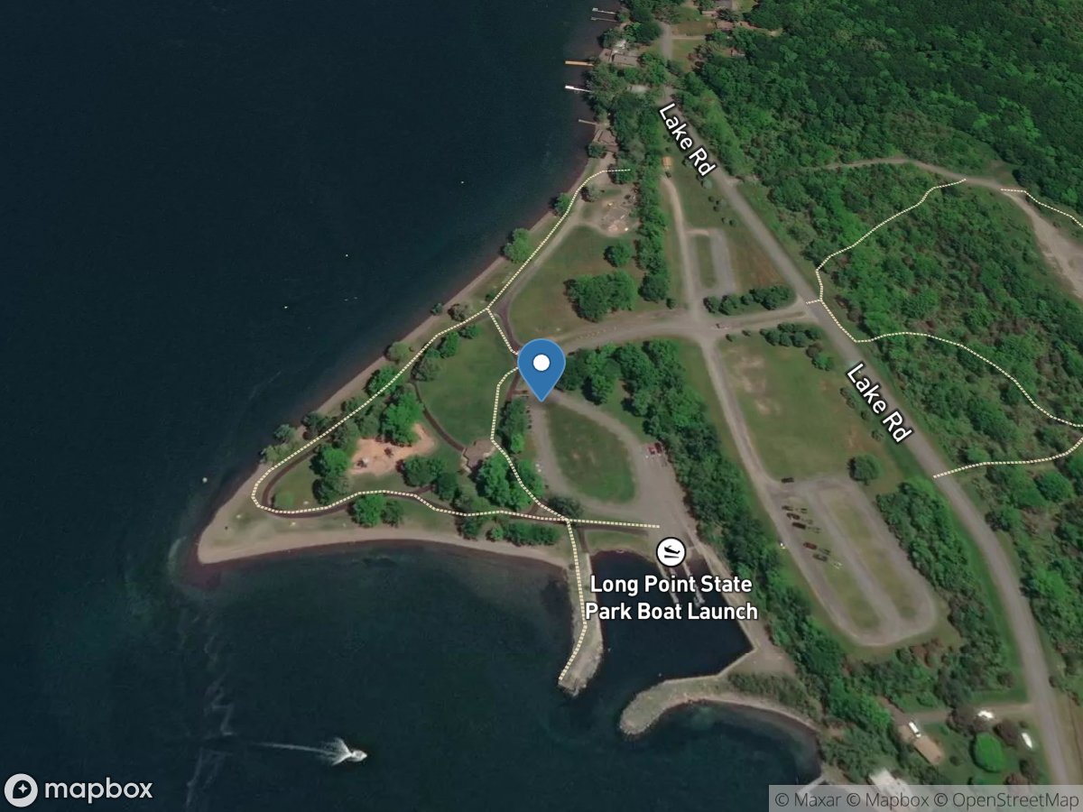
Long Point State Park, Mile 20.63
Access Site
Cayuga-Seneca Canal (Cayuga Lake)
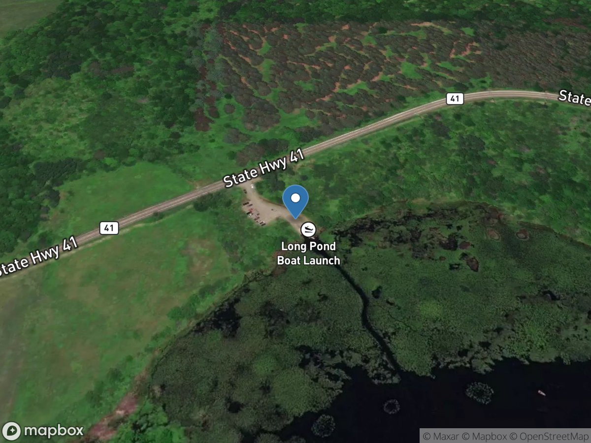
Long Pond
Access Site
Long Pond
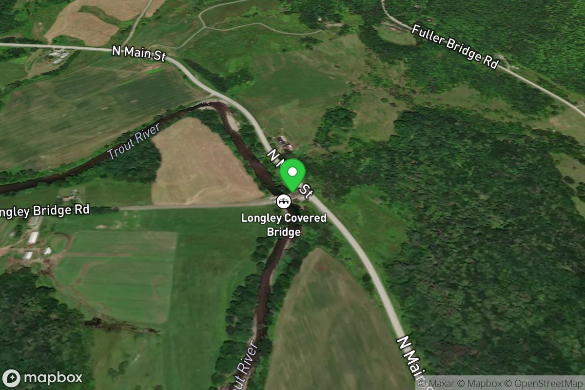
Longely Covered Bridge
Access Site
Trout
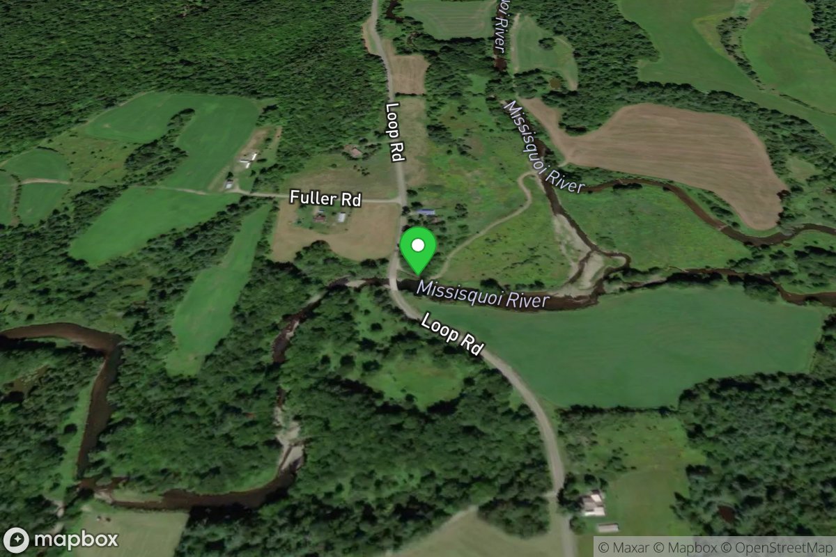
Loop Rd.
Access Site
Missiquoi
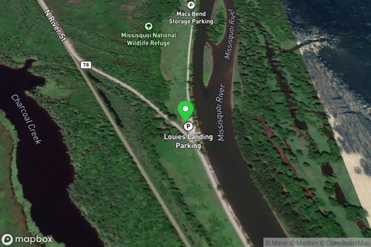
Louie's Landing Boat Launch
Access Site
Missisquoi River
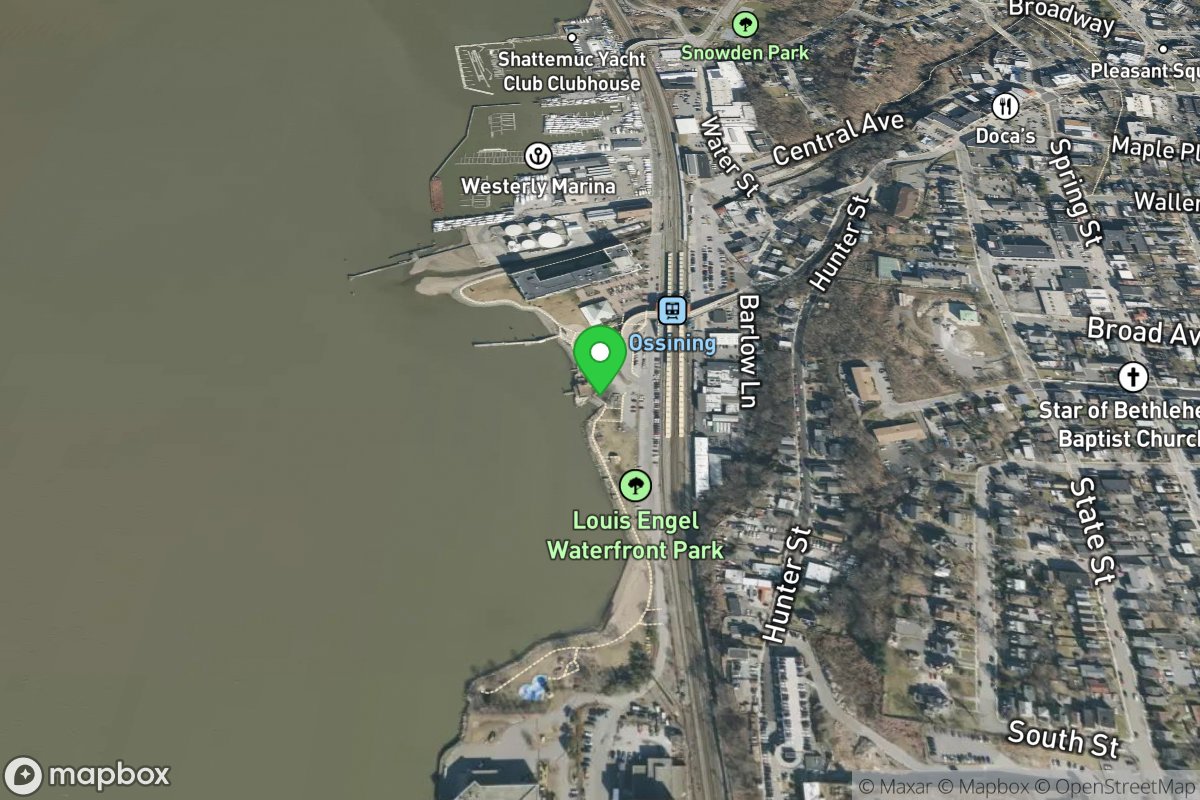
Louis Engel Waterfront Park
Access Site
Hudson
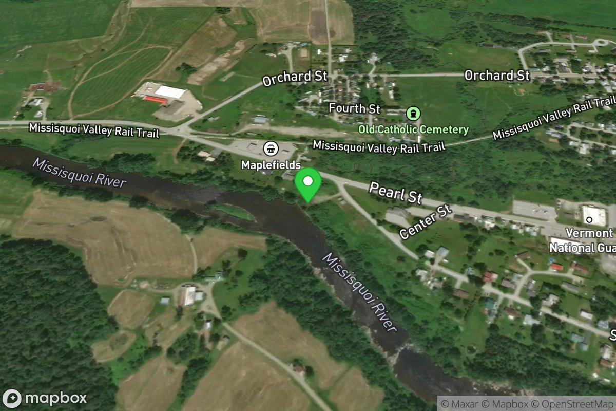
Lower Enosburg Falls
Access Site
Missisquoi River
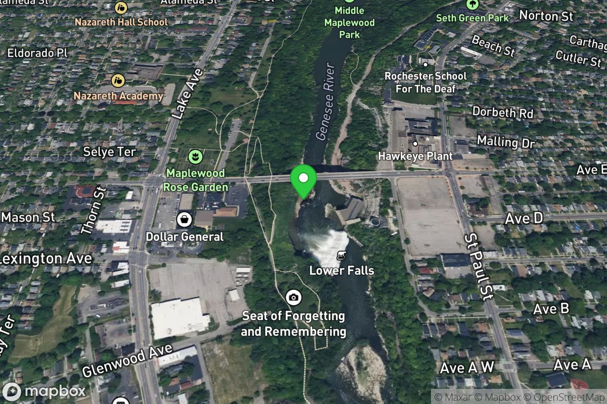
Lower Falls Put-in
Access Site
Genesse
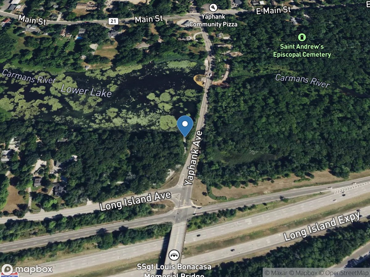
Lower Lake
Access Site
Lower Lake
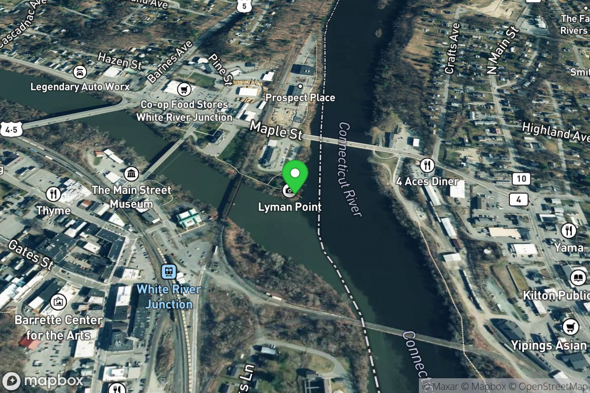
Lyman Point Park Launch
Access Site
Connecticut River
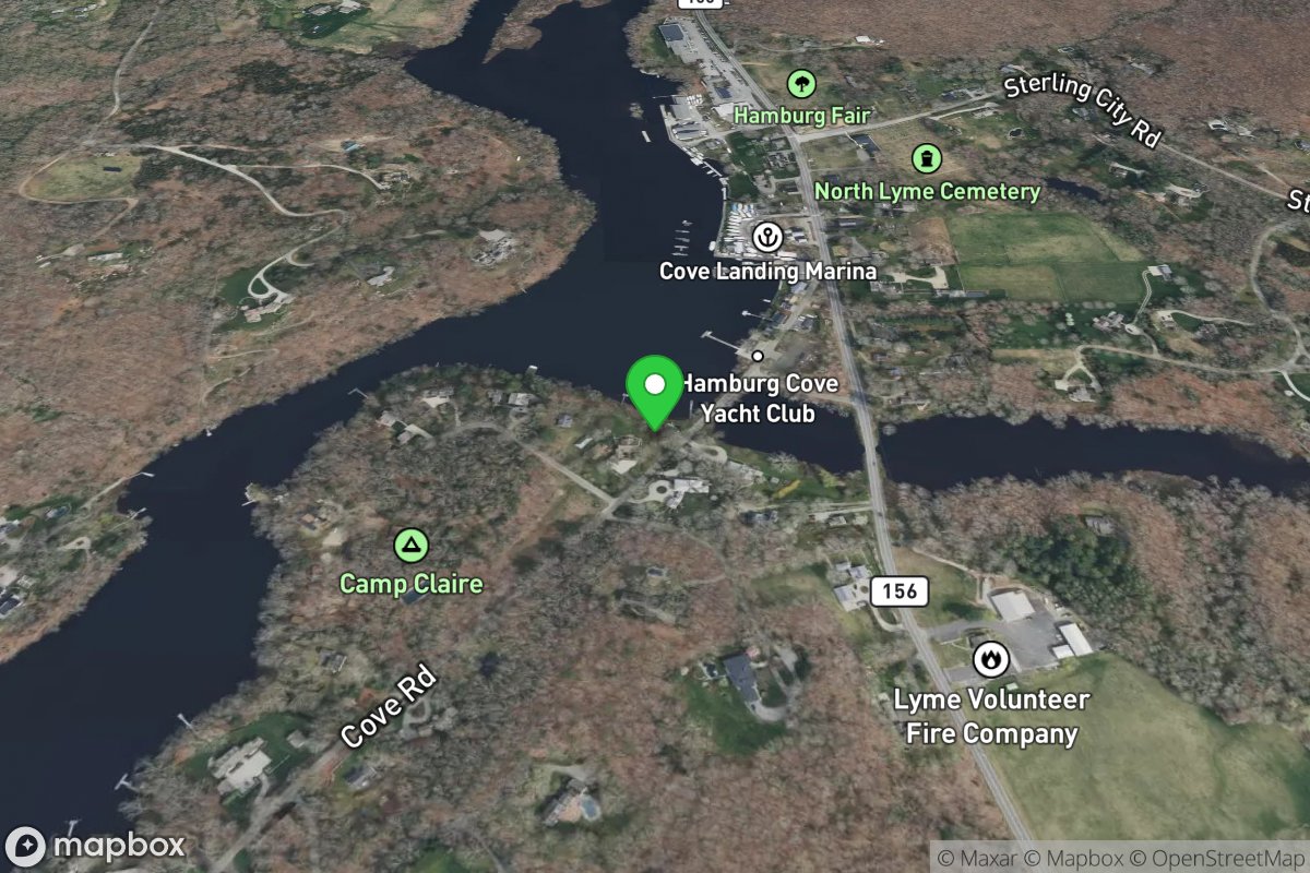
Lyme Town Boat Access
Access Site
Connecticut River
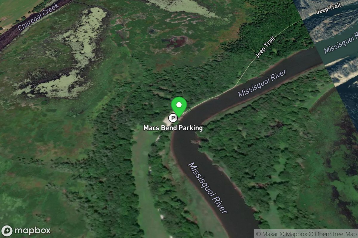
Mac's Bend Boat Launch
Access Site
Missisquoi River
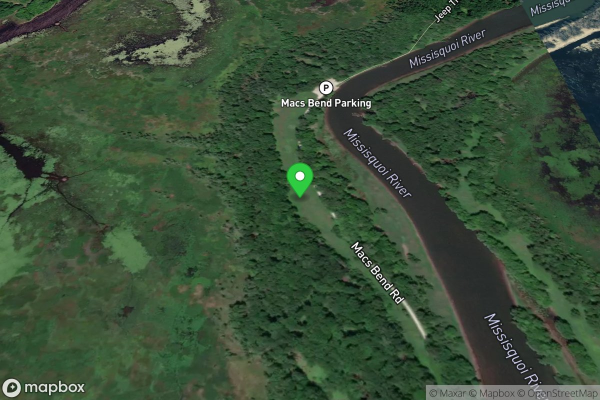
Macs Bend
Access Site
Missisquoi River
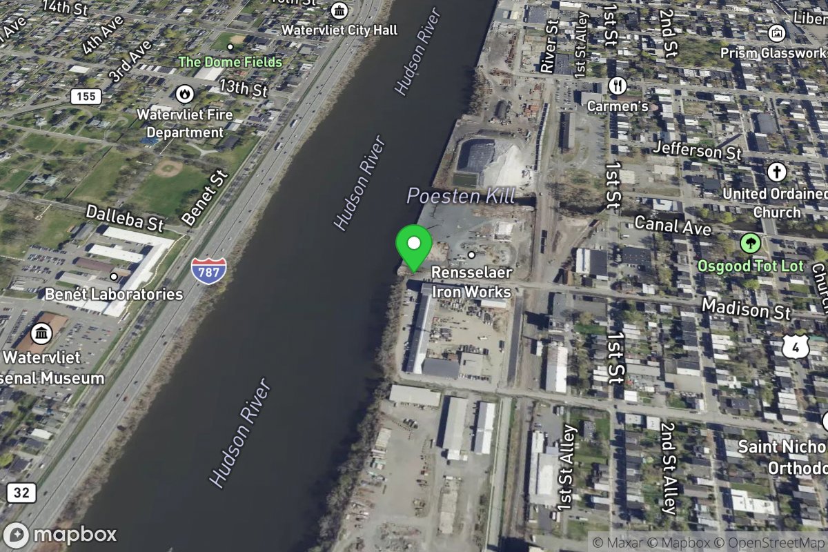
Madison Street Boat Launch
Access Site
Hudson
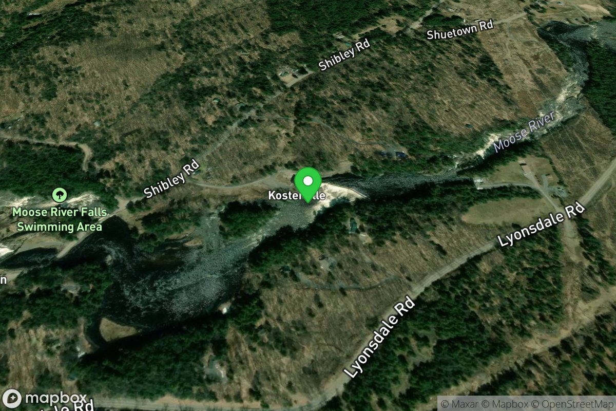
Magilla
Access Site
Moose
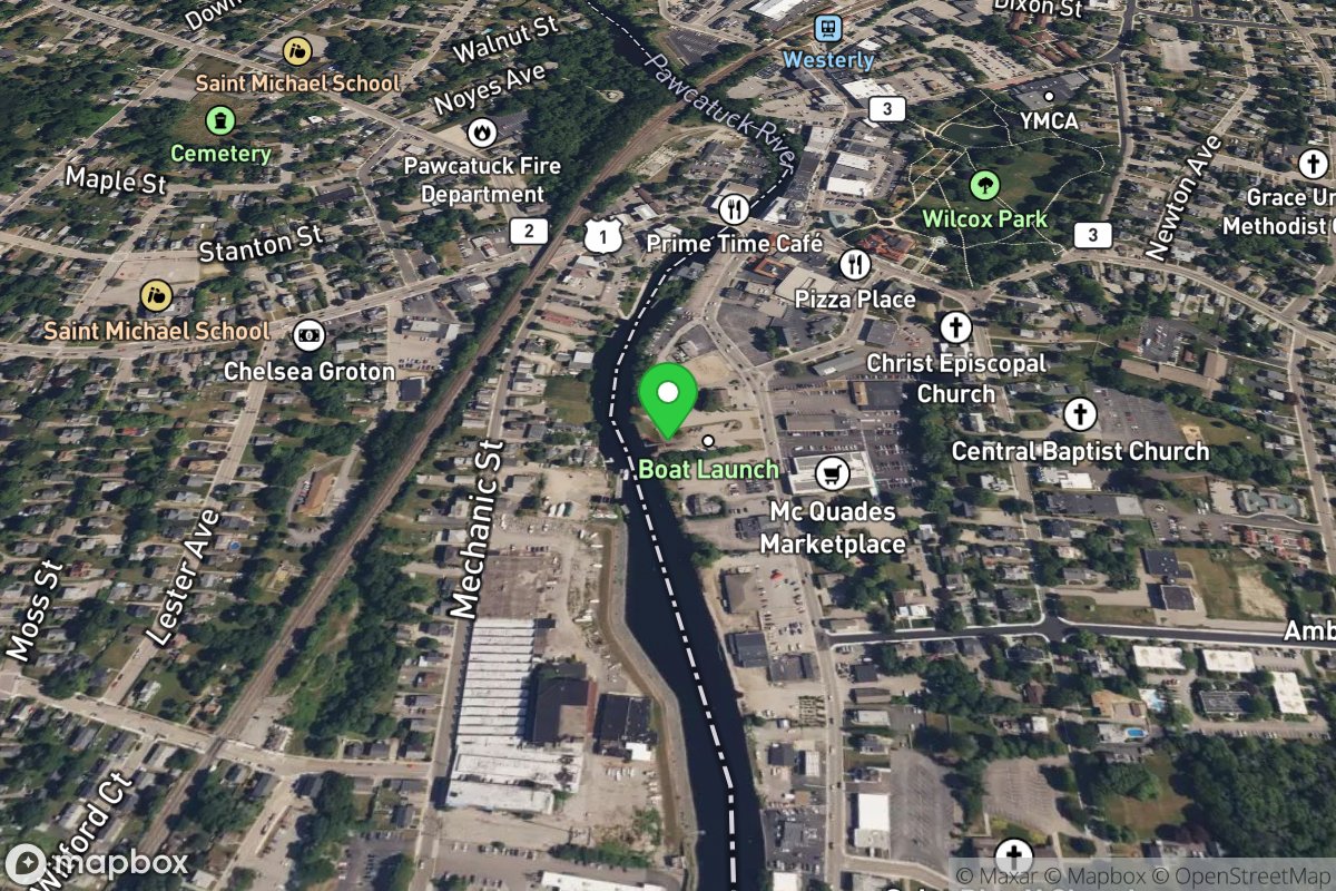
Main Street Boat Ramp
Access Site
Pawcatuck River