Access Sites in Texas
Find mapped boat ramps, launches, and public water access points across the United States.
1,963
Total Sites
24
Loaded
1
Regions
Map view
Explore nearby access
Pan or zoom to load the sites in view, then open a marker for details and directions.
Interactive access map
Loads after the directory is visible.
Loading...
Navigation Tips
- Zoom in to load more sites in your area of interest
- Click on clusters (numbered circles) to zoom into that area
- Click on individual markers for site details and directions
- Use scroll wheel or pinch to zoom, drag to pan
Directory results
Loaded access sites
The list reflects the current page and can be narrowed with the search field.
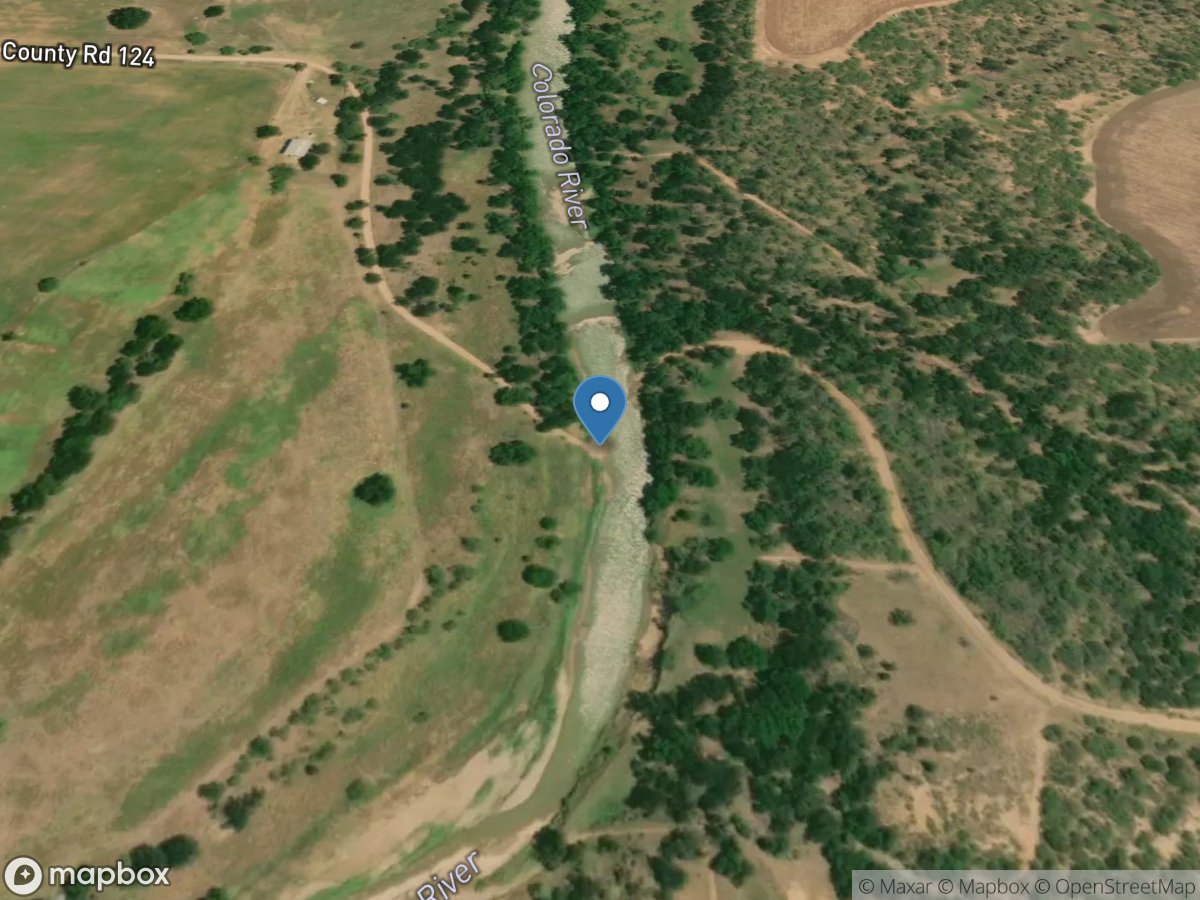
FM 124
Access Site
Colorado River
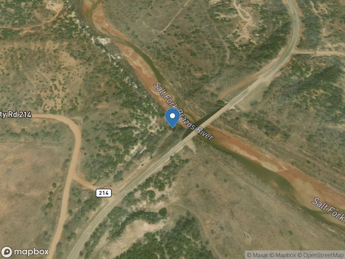
FM 1263 Bridge
Access Site
Salt Fork Brazos River
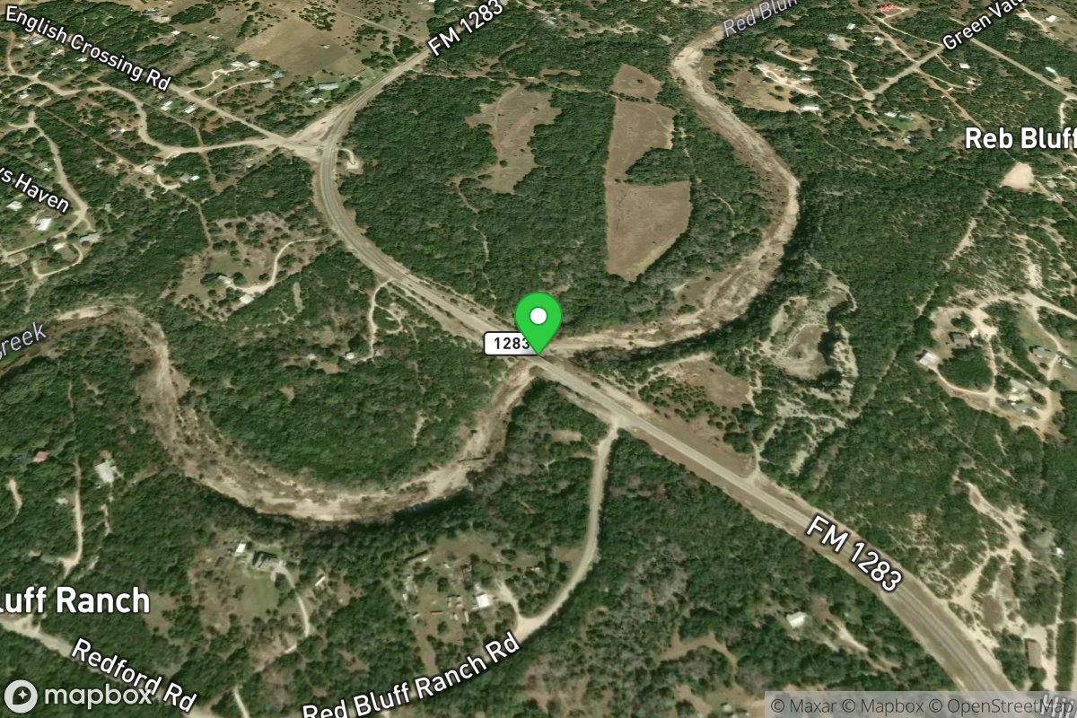
FM 1283 Bridge
Access Site
Pipe Creek-Red Bluff Creek (current beta needed)
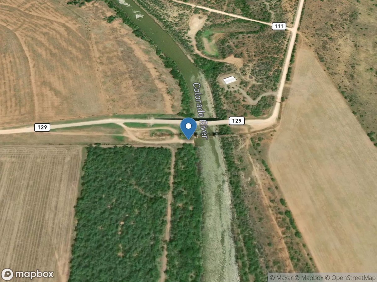
FM 129 Bridge
Access Site
Colorado River
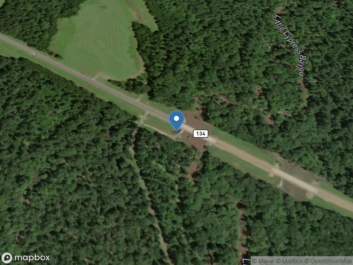
FM 134 Bridge
Access Site
Little Cypress Bayou
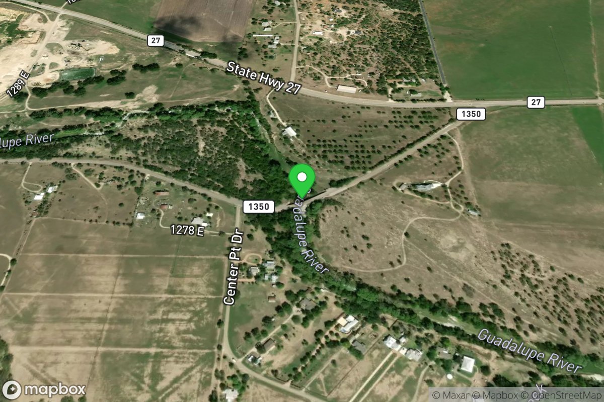
FM 1350 Bridge (Government Crossing)
Access Site
Guadalupe
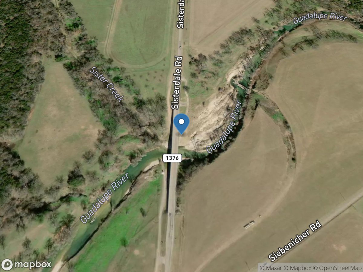
FM 1376 Bridge
Access Site
Guadalupe River
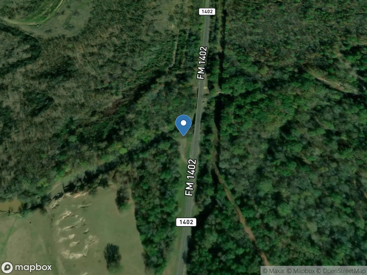
FM 1402
Access Site
White Oak Creek
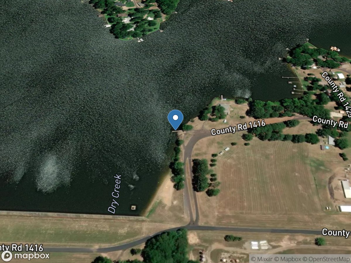
FM 1416
Access Site
Dry Creek - Lake Quitman
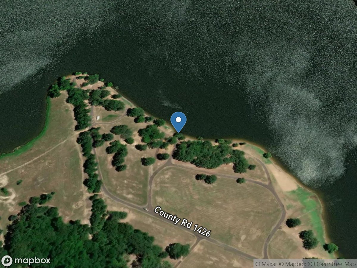
FM 1427
Access Site
Dry Creek - Lake Quitman
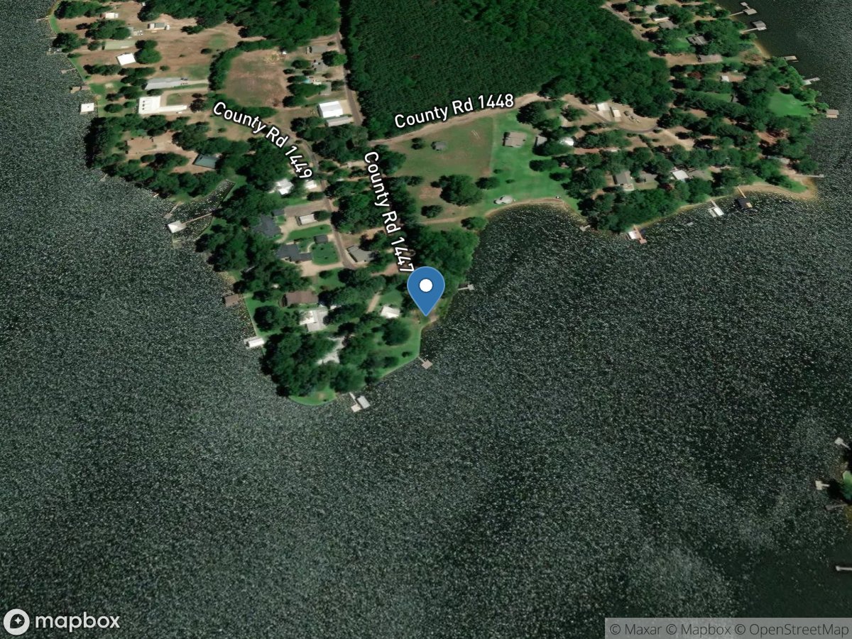
FM 1447
Access Site
Lake Quitman
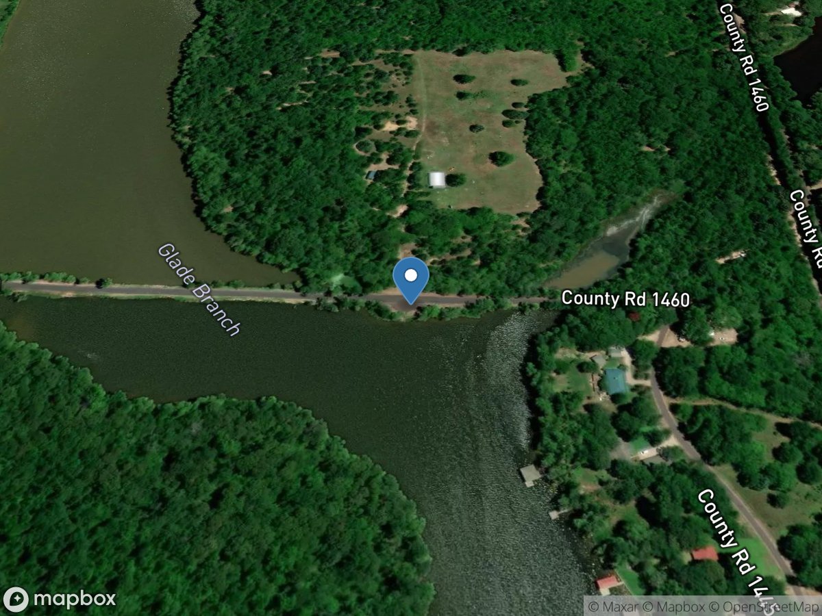
FM 1460
Access Site
Dry Creek - Lake Quitman
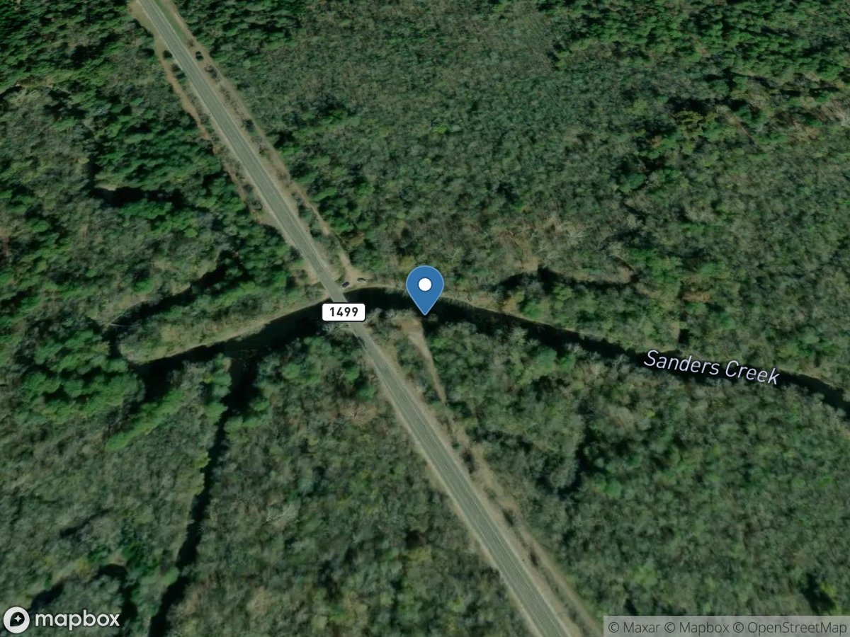
FM 1499
Access Site
Sanders Creek
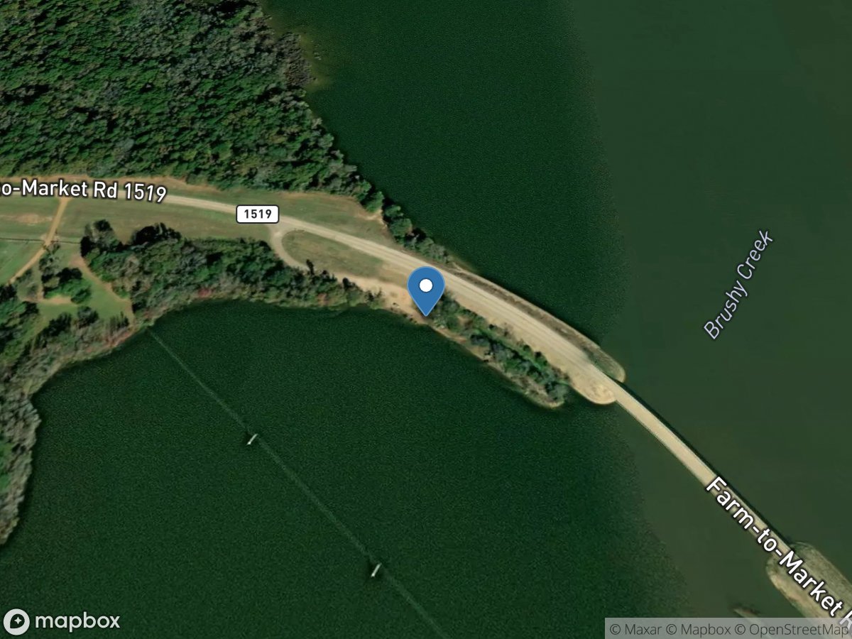
FM 1519 Bridge North
Access Site
Brushy Creek - Lake Bob Sandlin
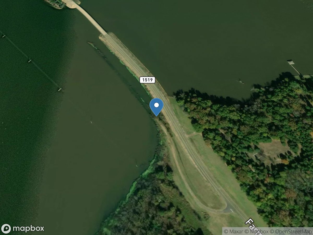
FM 1519 Bridge South
Access Site
Brushy Creek - Lake Bob Sandlin
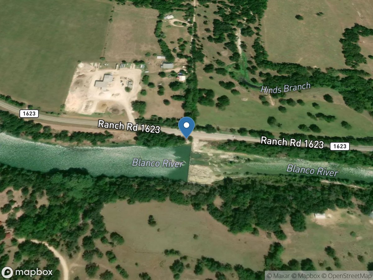
FM 1623
Access Site
Blanco River
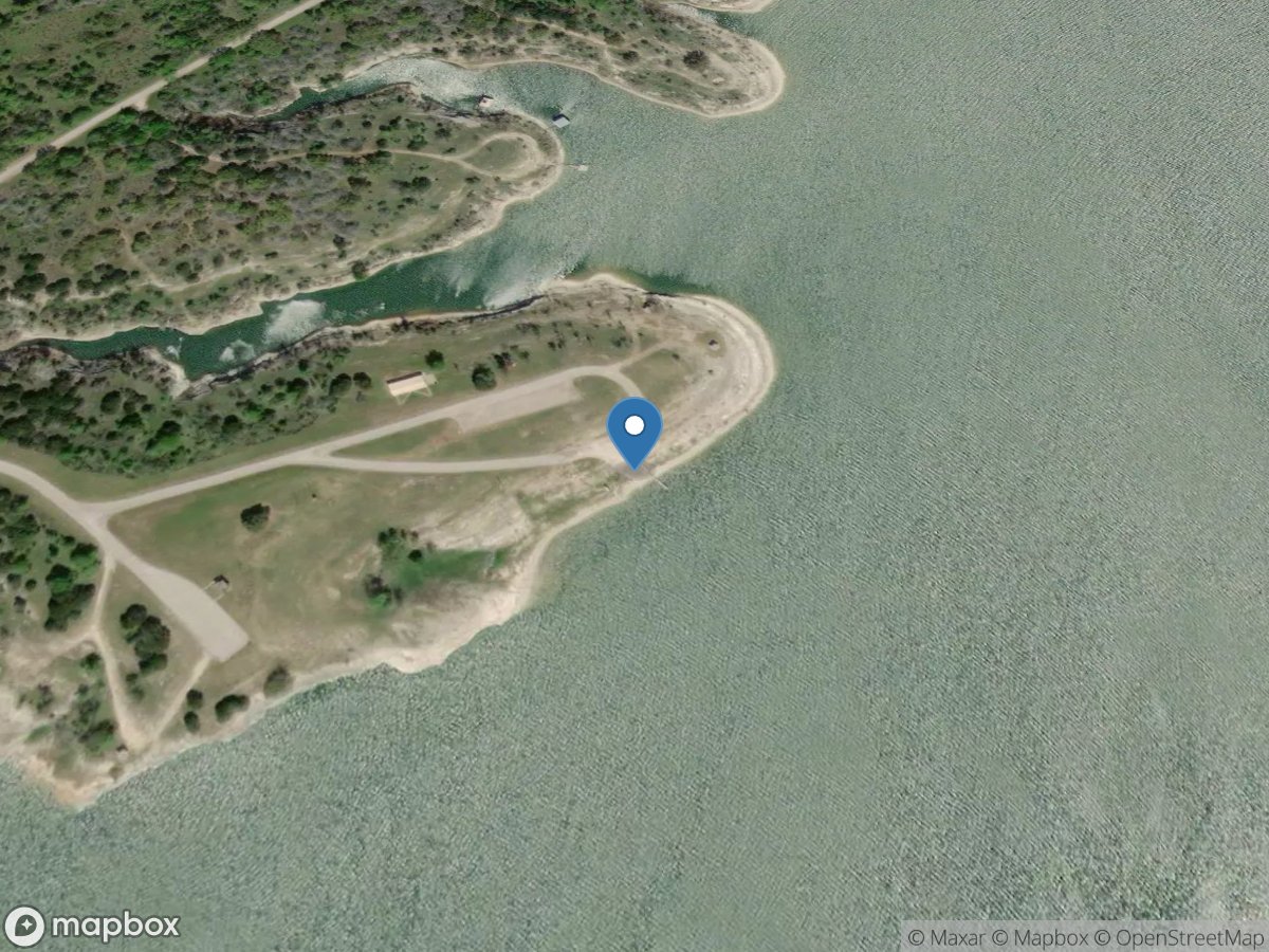
FM 1630
Access Site
Rocky Creek - Lake Whitney
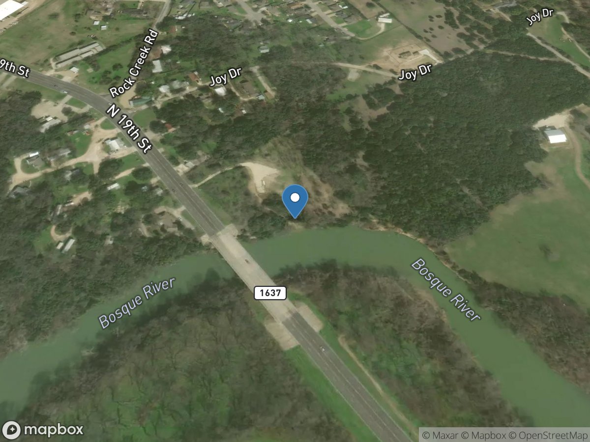
FM 1637 Bridge
Access Site
Bosque River
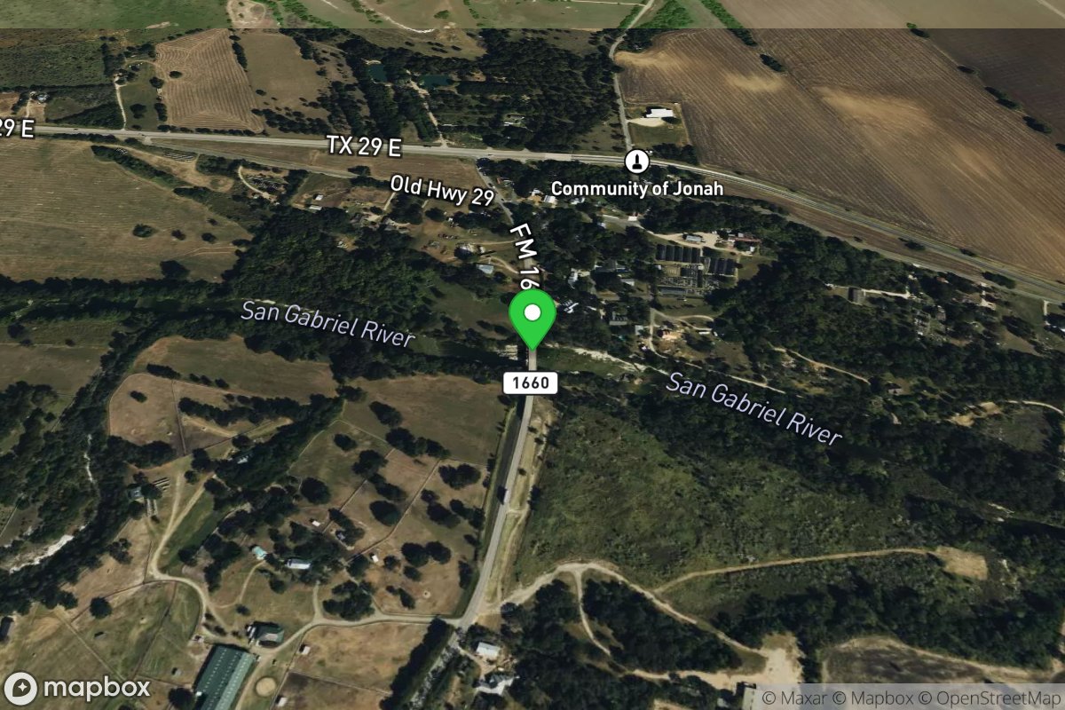
FM 1660 Bridge
Access Site
San Gabriel
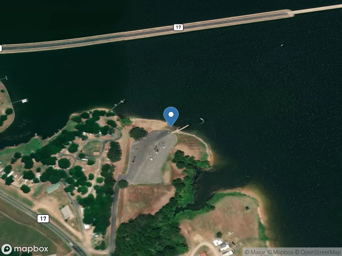
FM 17
Access Site
Lake Fork Creek - Lake Fork Reservoir
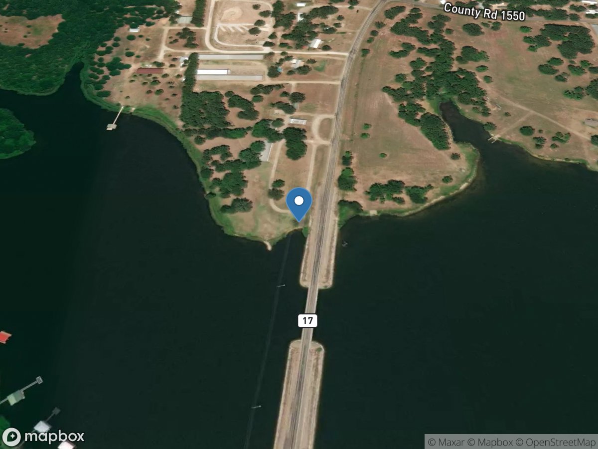
FM 17 Bridge (North)
Access Site
Lake Fork Creek - Lake Fork Reservoir
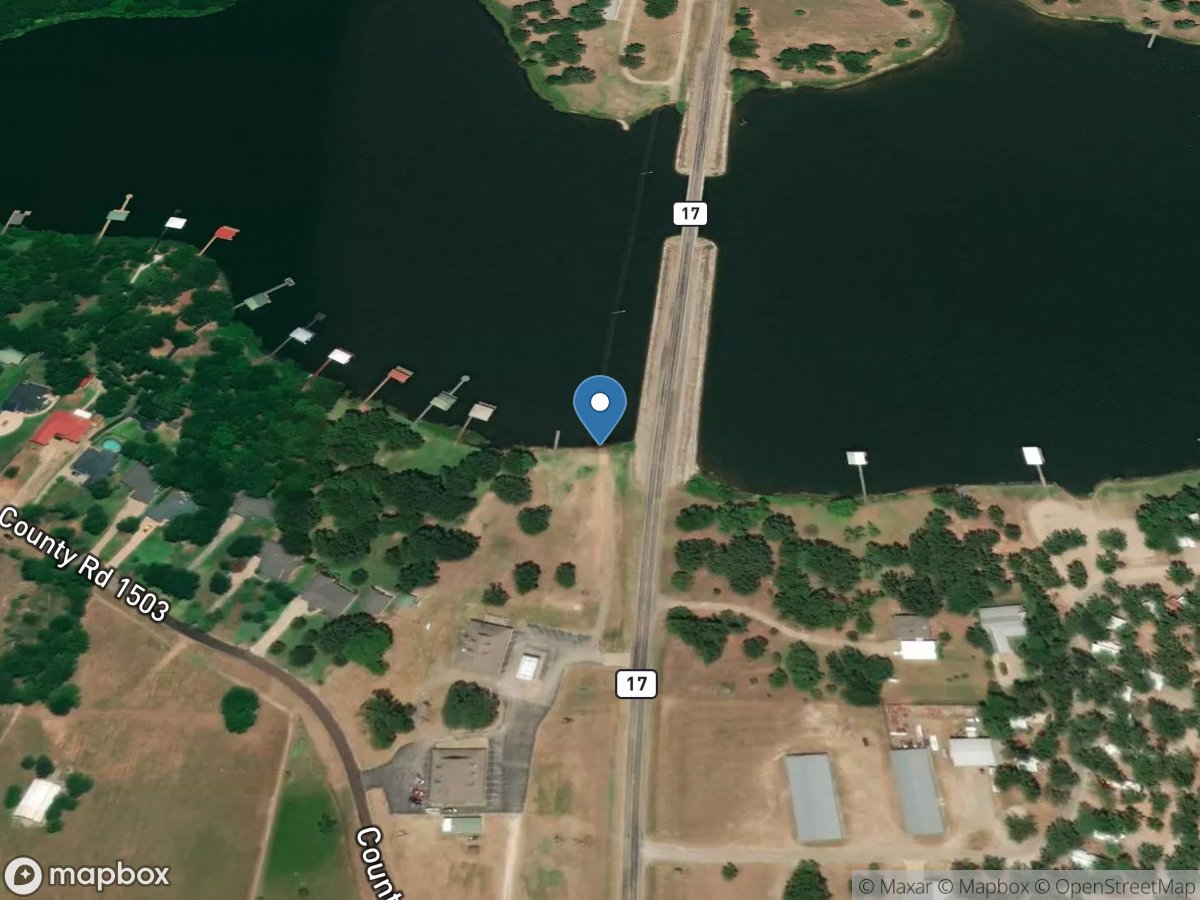
FM 17 Bridge (South)
Access Site
Lake Fork Creek - Lake Fork Reservoir
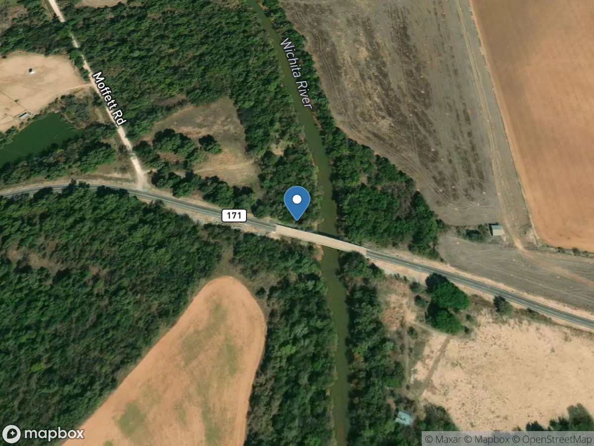
FM 171 Bridge
Access Site
Wichita River
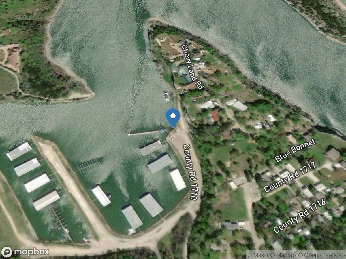
FM 1710
Access Site
Rocky Creek - Lake Whitney