Access Sites in Kentucky
Find mapped boat ramps, launches, and public water access points across the United States.
980
Total Sites
24
Loaded
1
Regions
Map view
Explore nearby access
Pan or zoom to load the sites in view, then open a marker for details and directions.
Interactive access map
Loads after the directory is visible.
Loading...
Navigation Tips
- Zoom in to load more sites in your area of interest
- Click on clusters (numbered circles) to zoom into that area
- Click on individual markers for site details and directions
- Use scroll wheel or pinch to zoom, drag to pan
Directory results
Loaded access sites
The list reflects the current page and can be narrowed with the search field.
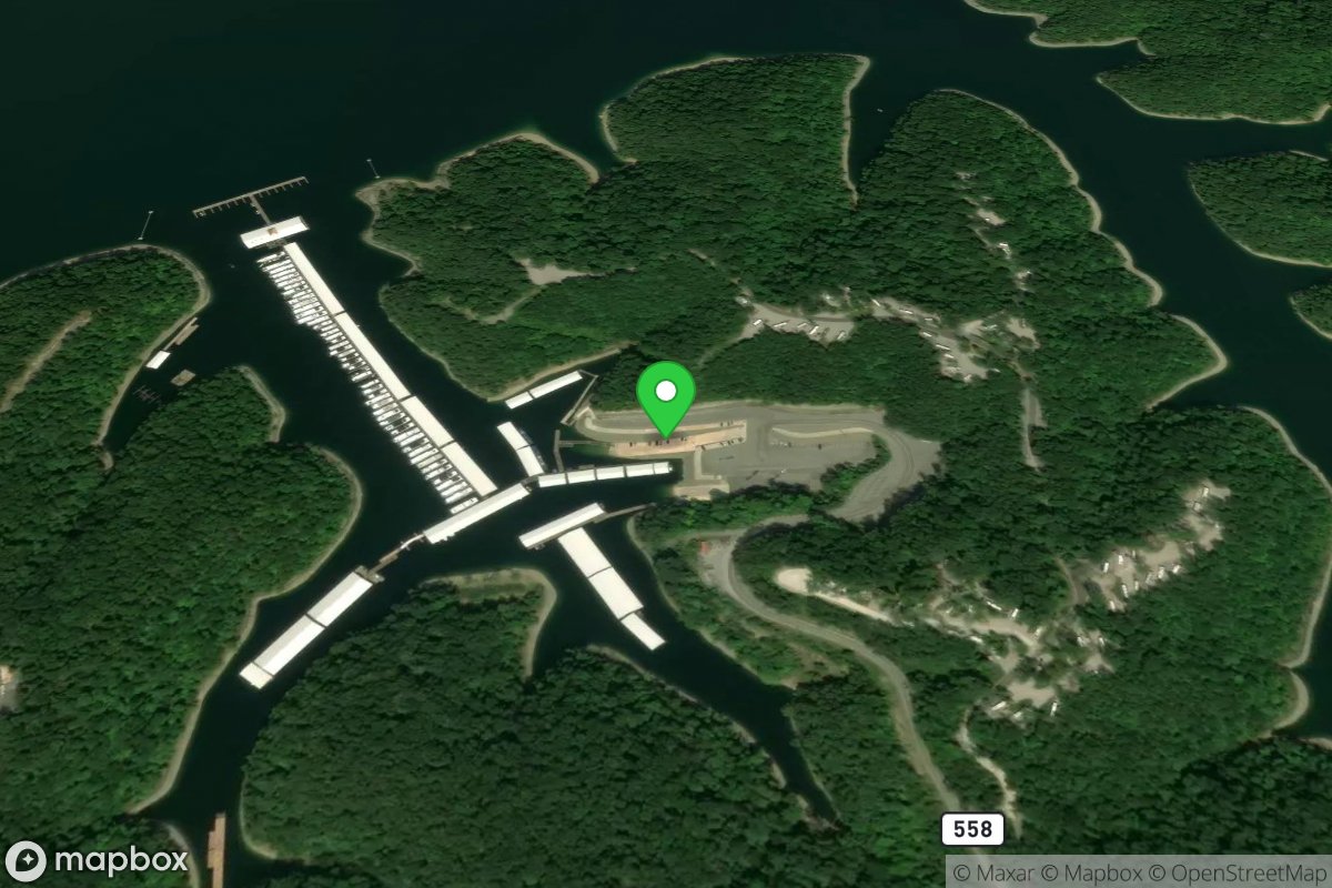
Rowena Ramp (south bank)
Access Site
Lake Cumberland
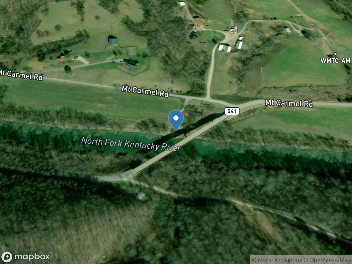
Roy Spencer Ramp
Access Site
North Fork Kentucky River
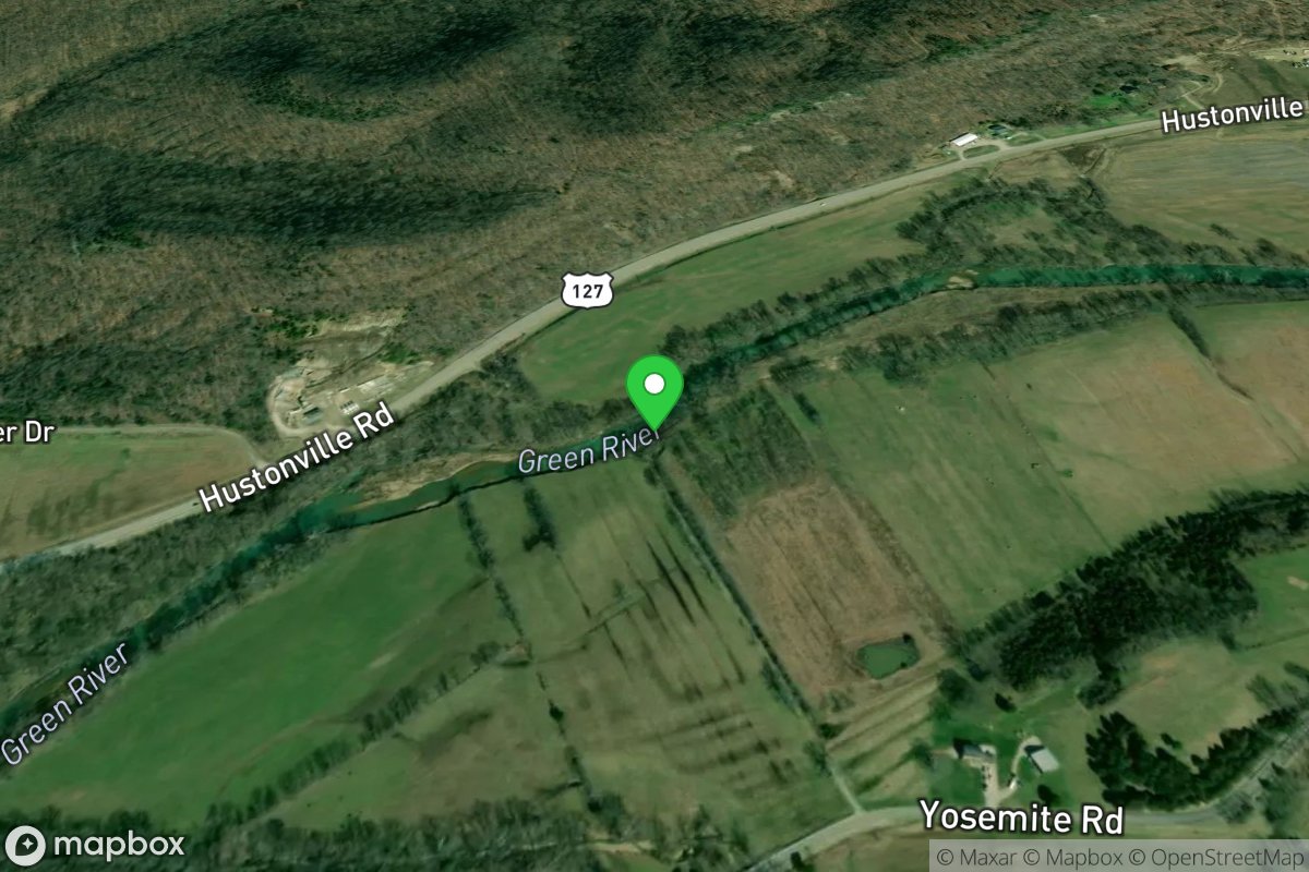
Roy's Mill Road Access
Access Site
Green River - Upper
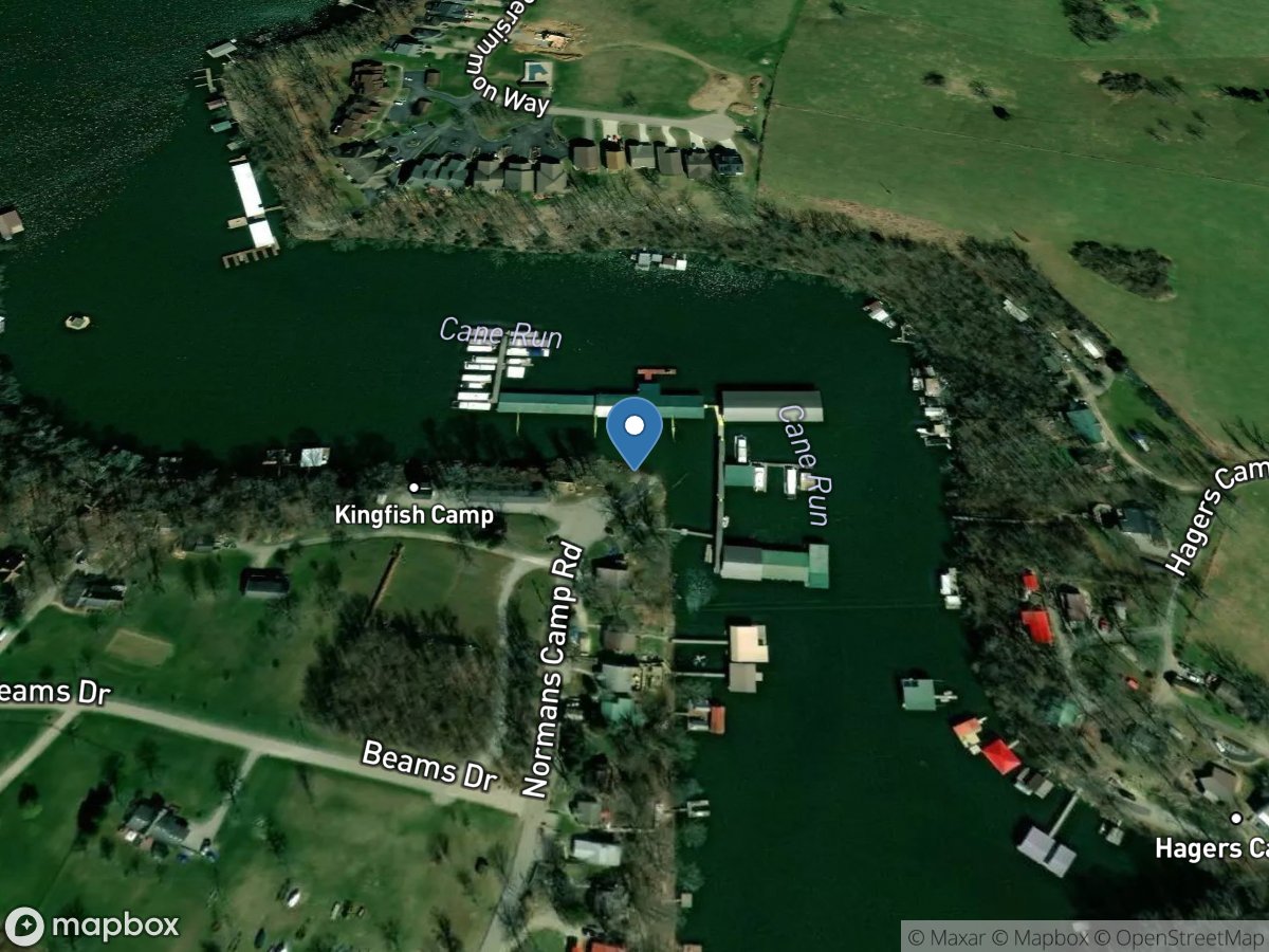
Royalty's Camp Ramp
Access Site
Herrington Lake
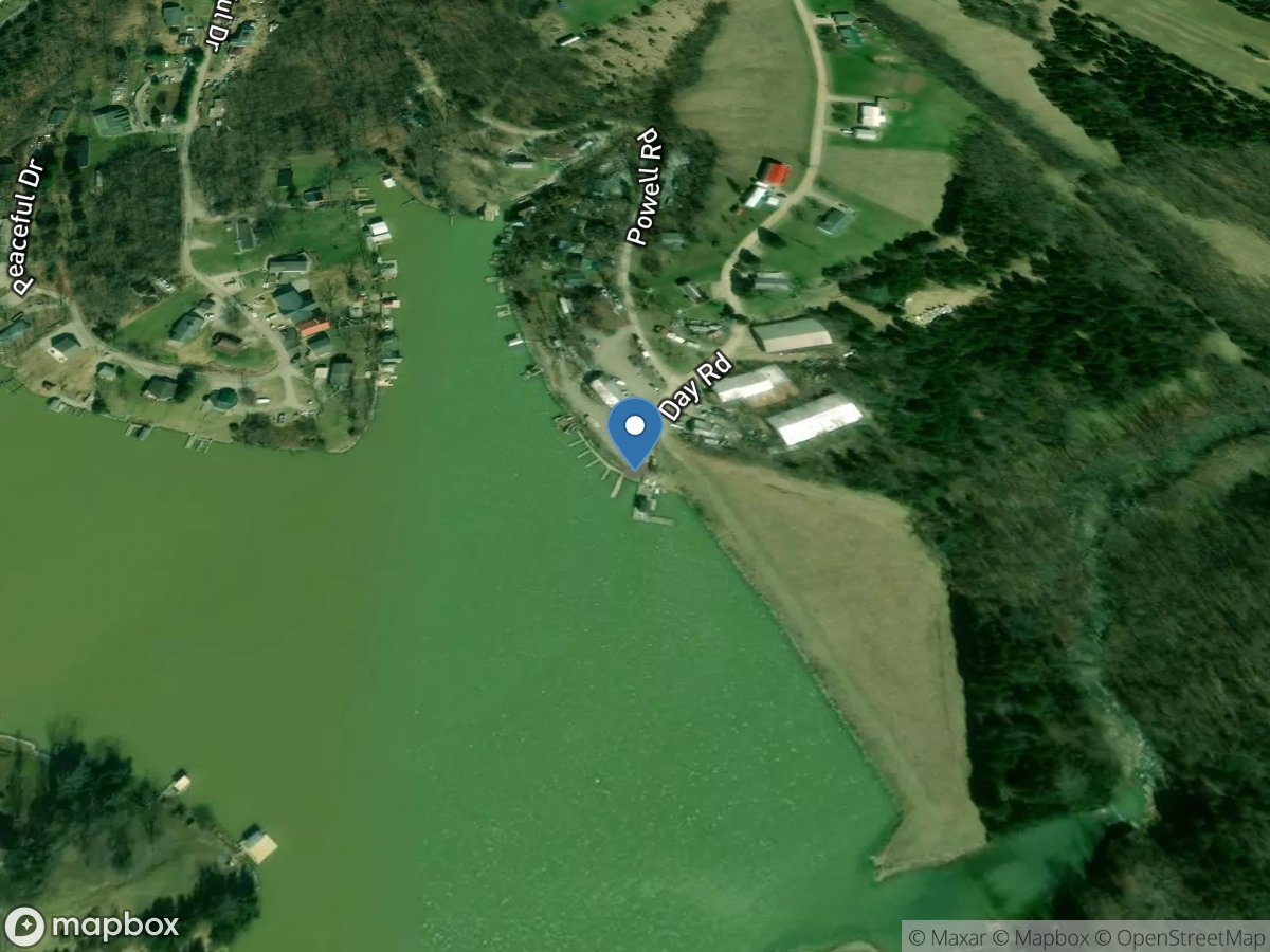
Ruby's Boat Dock
Access Site
South Fork Grassy Creek - Williamstown Lake
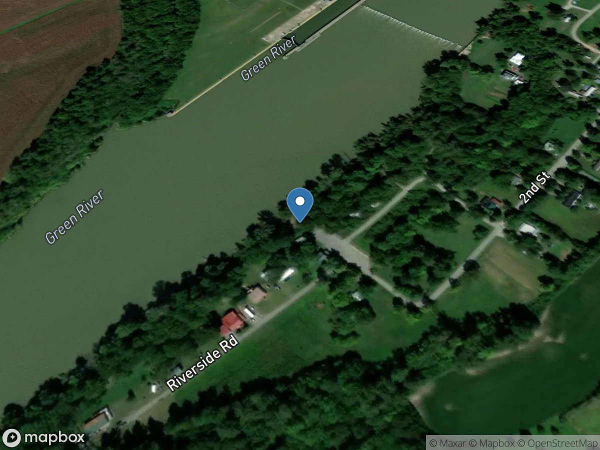
Rumsey
Access Site
Green River
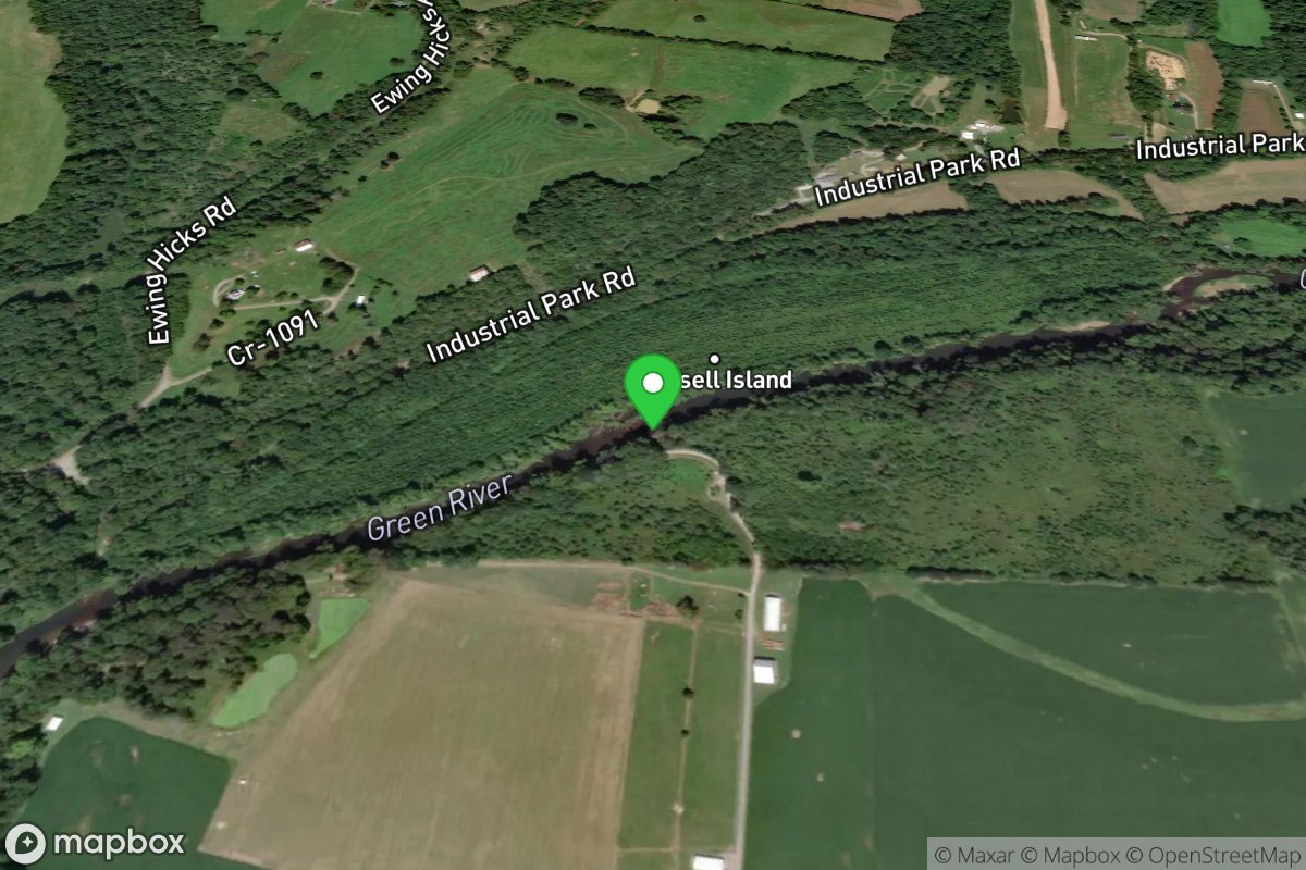
Russell Ford Ramp
Access Site
Green River - Upper
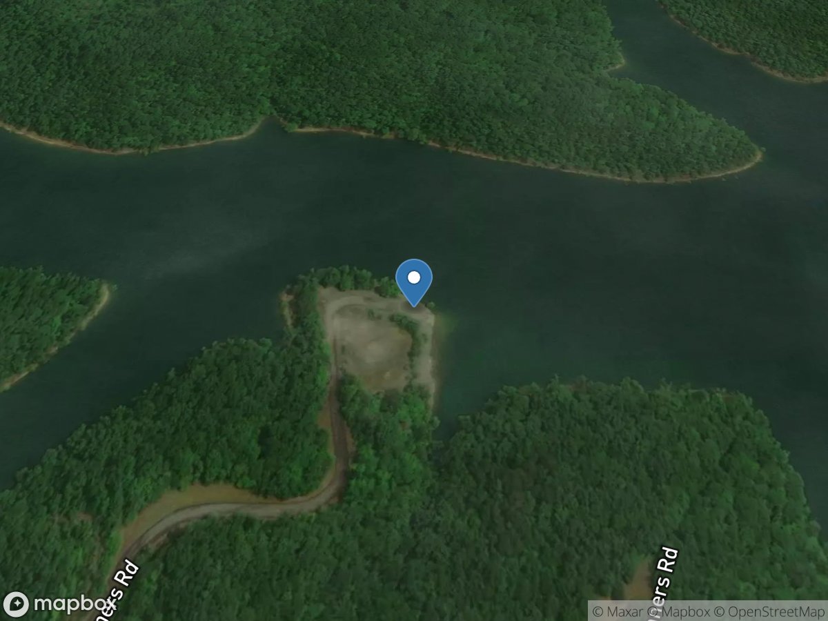
Ryans Camp Ramp
Access Site
Lake Cumberland
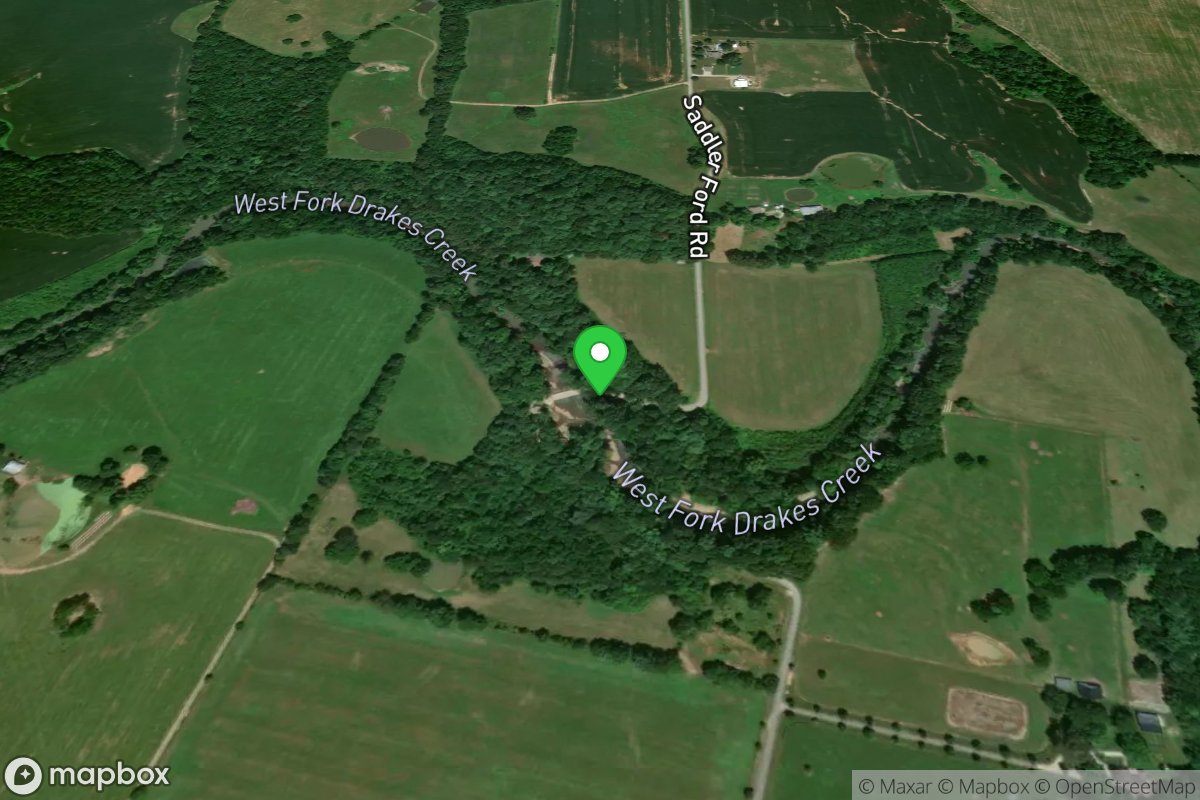
Saddler Ford Carrydown
Access Site
Drakes Creek
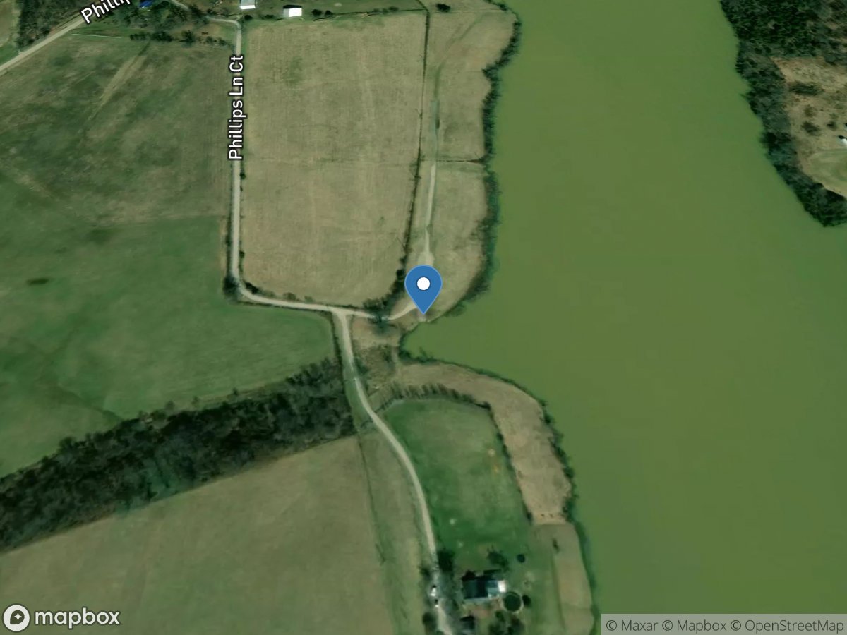
Salem Lake Ramp
Access Site
Salem Lake
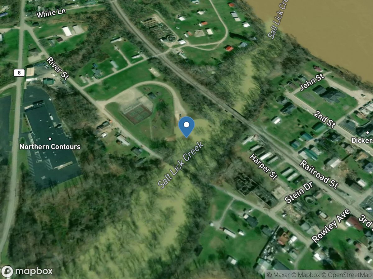
Salt Lick Creek
Access Site
Salt Lick Creek
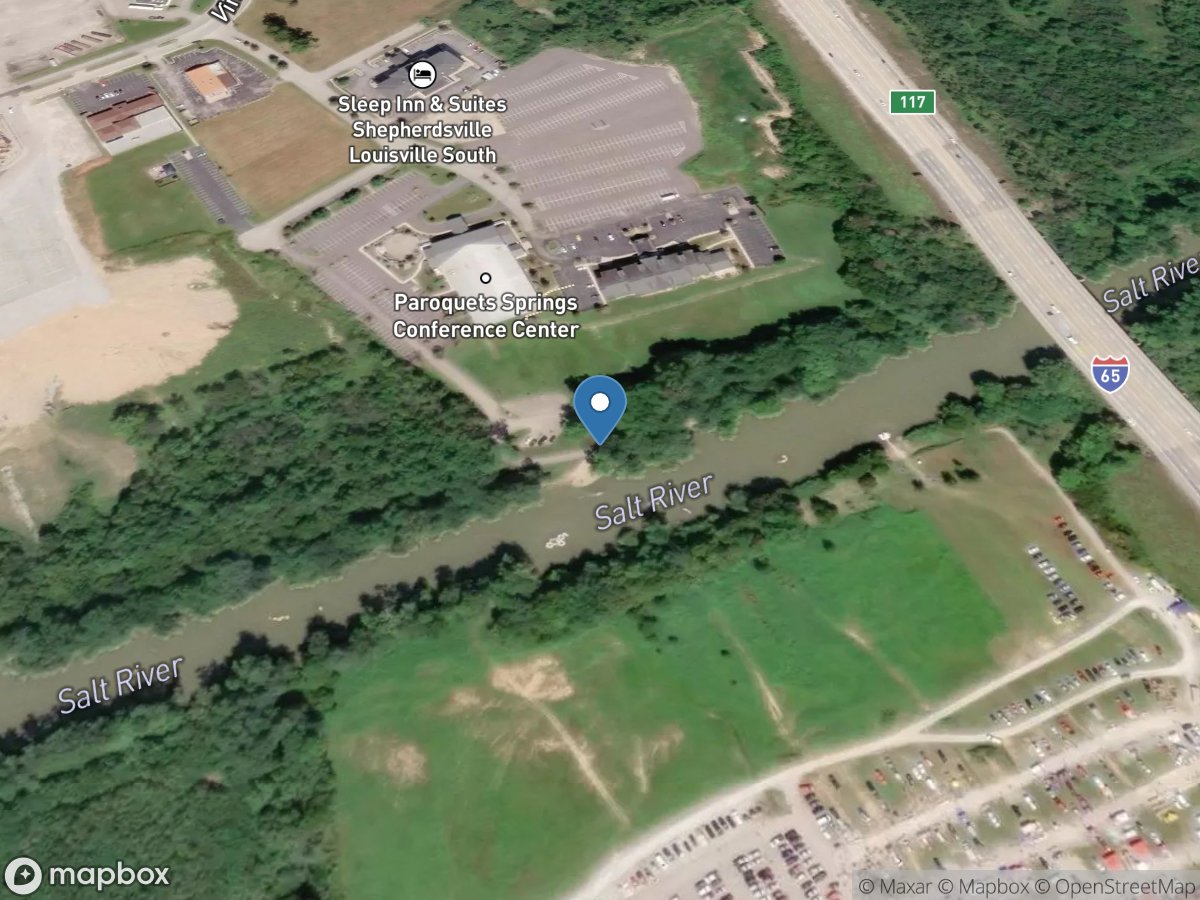
Salt River Boat
Access Site
Salt River
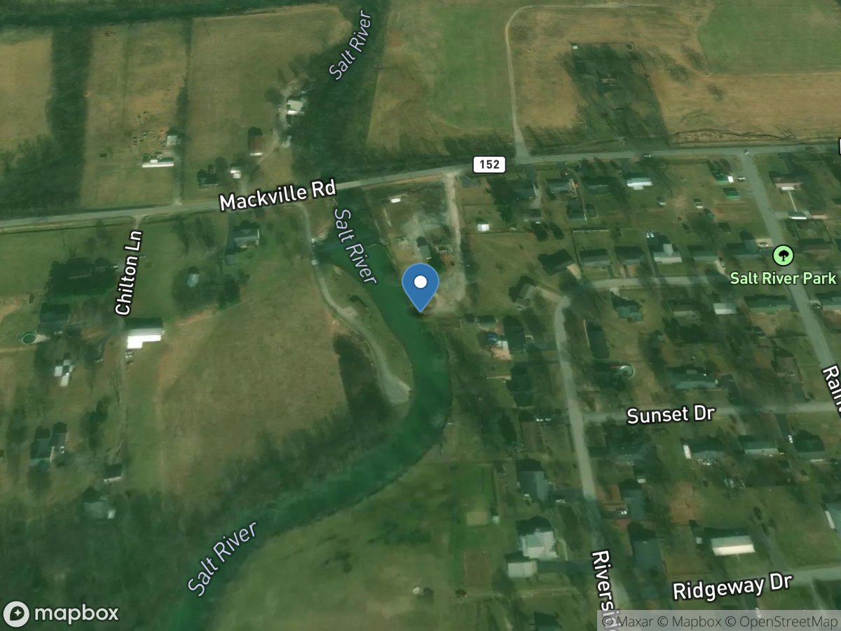
Salt River Ramp 3
Access Site
Salt River
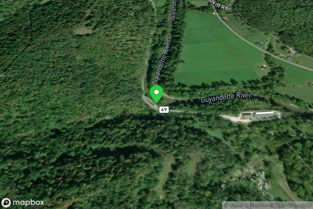
Salt Rock/Madison Creek
Access Site
Guyandotte River
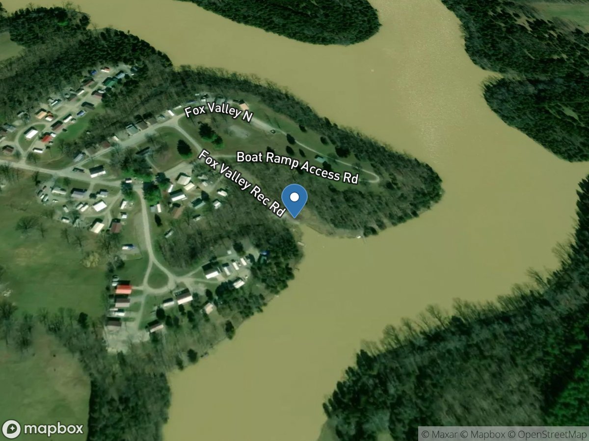
Sand Lick ( Fox Valley Lake)
Access Site
Fox Valley Lake
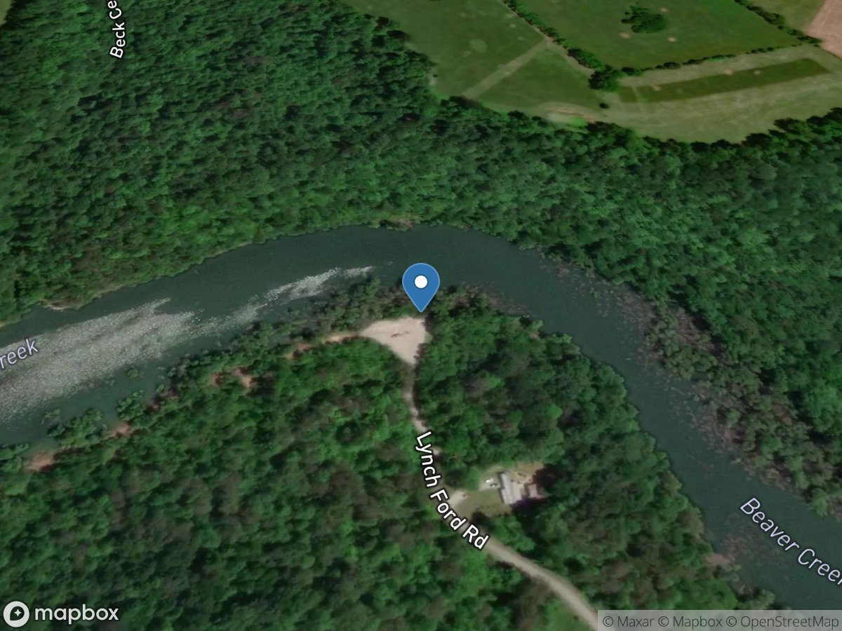
Sawmill Ramp (upper Beaver Creek)
Access Site
Lake Cumberland
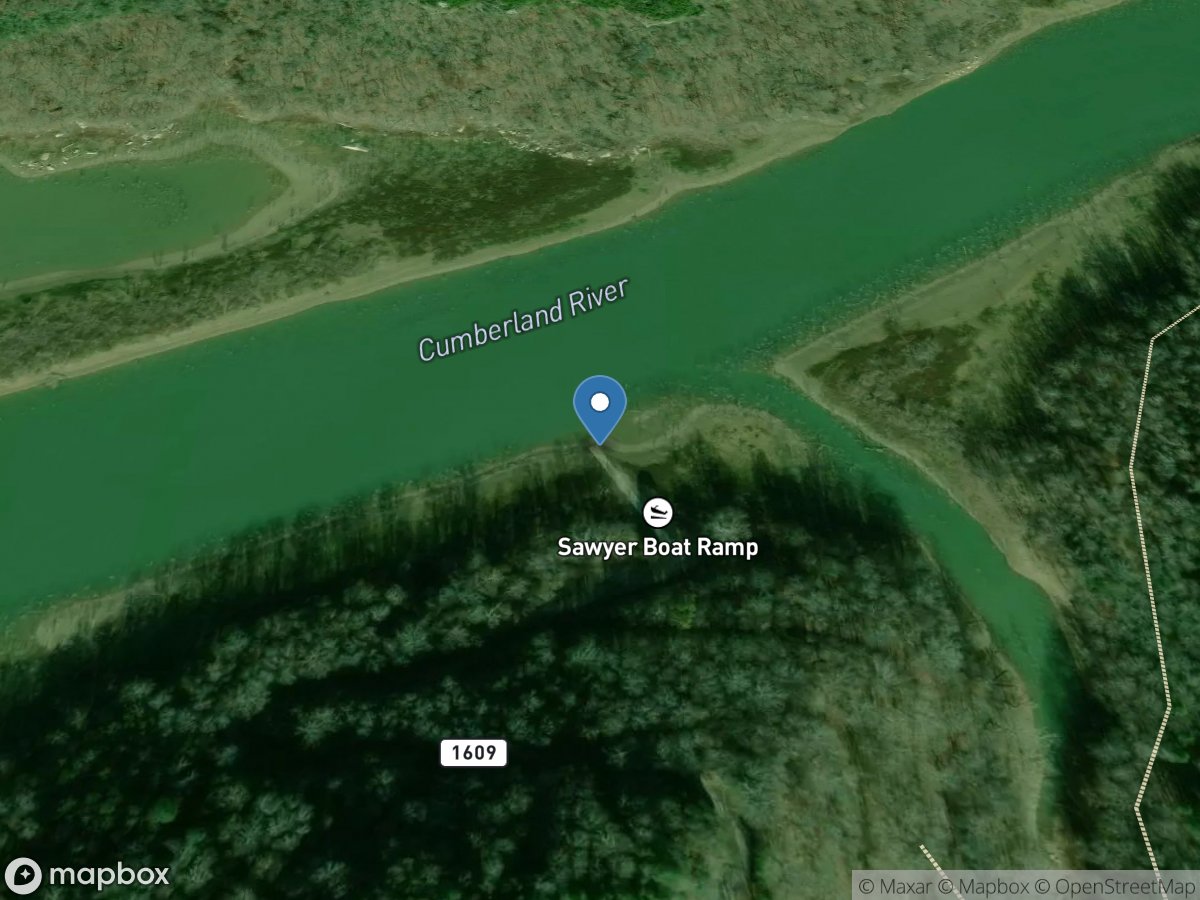
Sawyer Recreation Area
Access Site
Cumberland River - Lake Cumberland
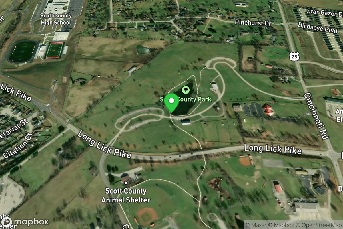
Scott County Park Lake
Access Site
Scott County Park
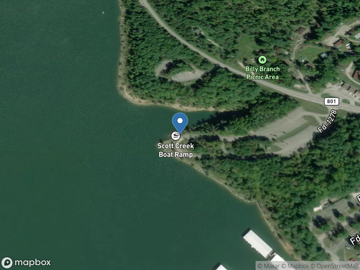
Scotts Creek Ramp
Access Site
Cave Run Lake
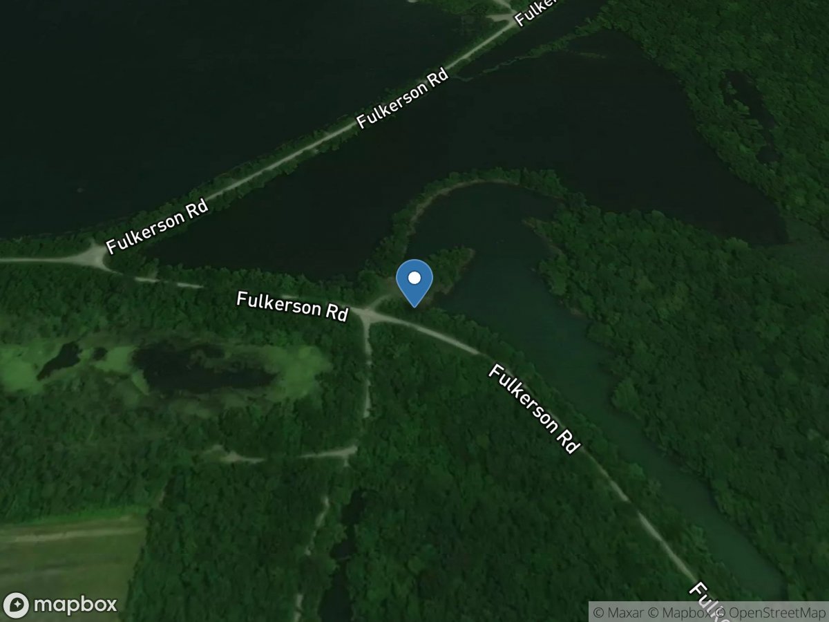
Screwhead Lake Ramp
Access Site
Peabody WMA
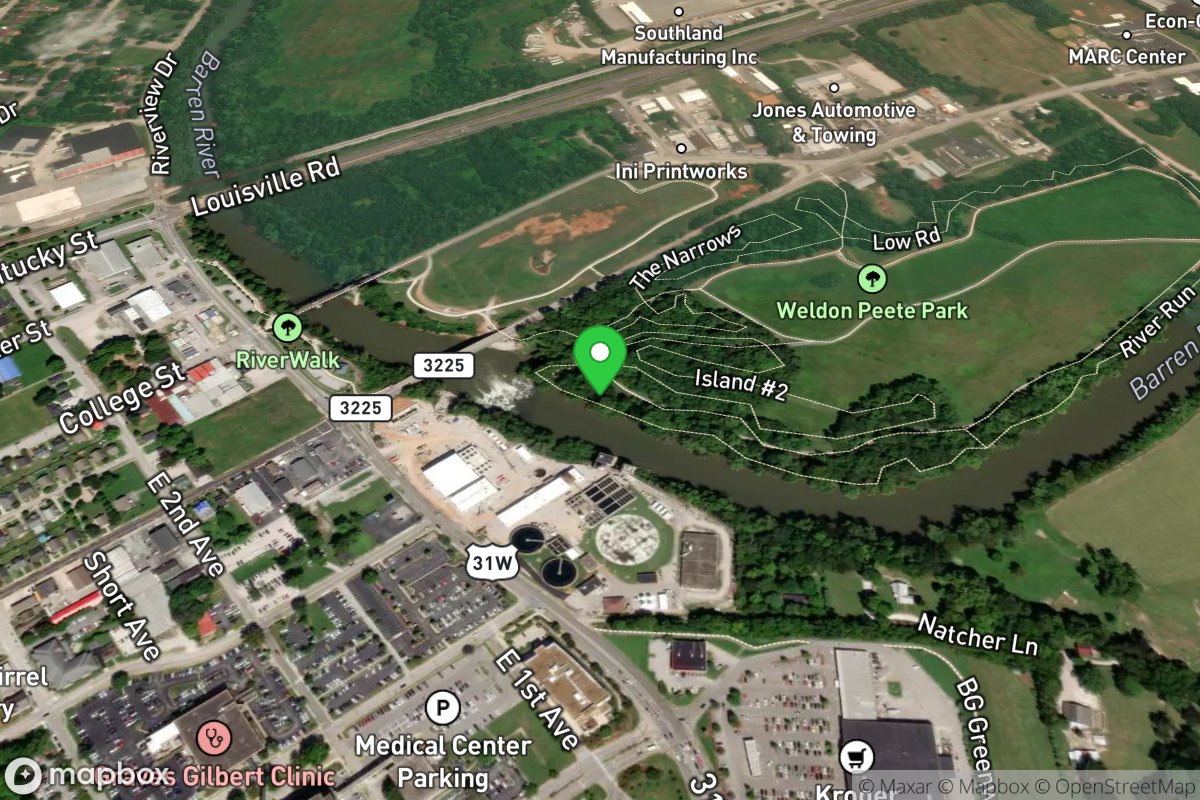
Seal Launch
Access Site
Barren River
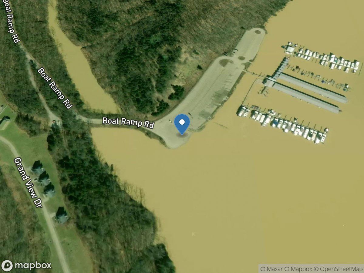
Settlers Trace
Access Site
Beech Creek - Taylorsville Lake
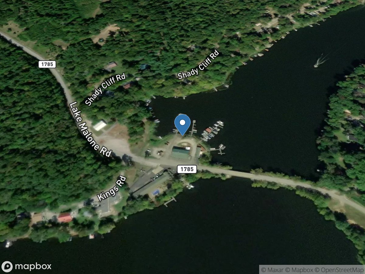
Shady Cliff
Access Site
Lake Malone
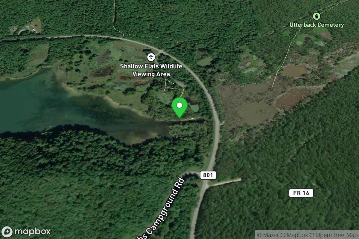
Shallow Flats
Access Site
Cave Run Lake