Access Sites in Vermont
Find mapped boat ramps, launches, and public water access points across the United States.
328
Total Sites
24
Loaded
1
Regions
Map view
Explore nearby access
Pan or zoom to load the sites in view, then open a marker for details and directions.
Interactive access map
Loads after the directory is visible.
Loading...
Navigation Tips
- Zoom in to load more sites in your area of interest
- Click on clusters (numbered circles) to zoom into that area
- Click on individual markers for site details and directions
- Use scroll wheel or pinch to zoom, drag to pan
Directory results
Loaded access sites
The list reflects the current page and can be narrowed with the search field.
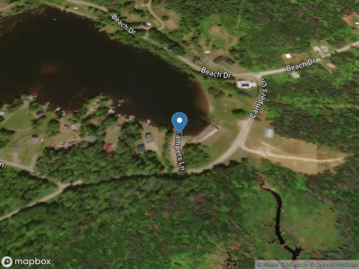
Miles Pond
Access Site
Miles Pond
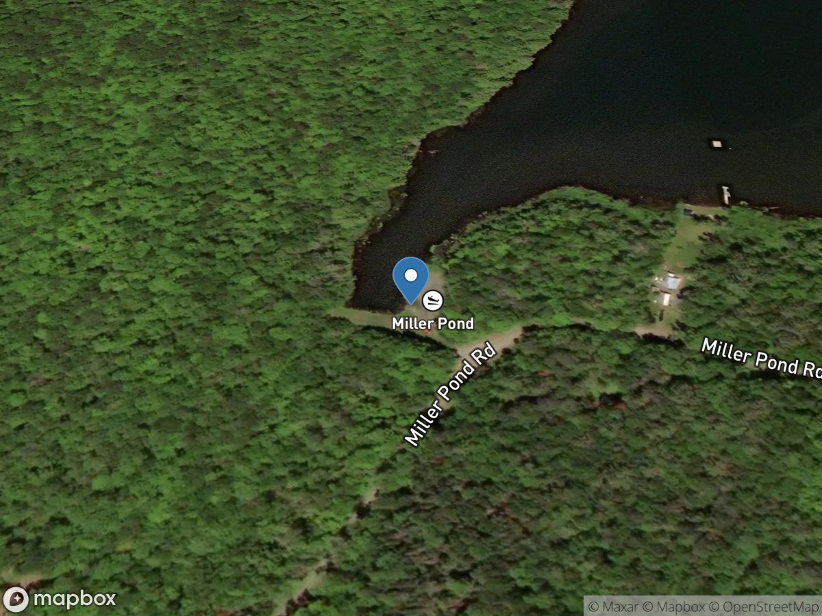
Miller Pond
Access Site
Miller Pond
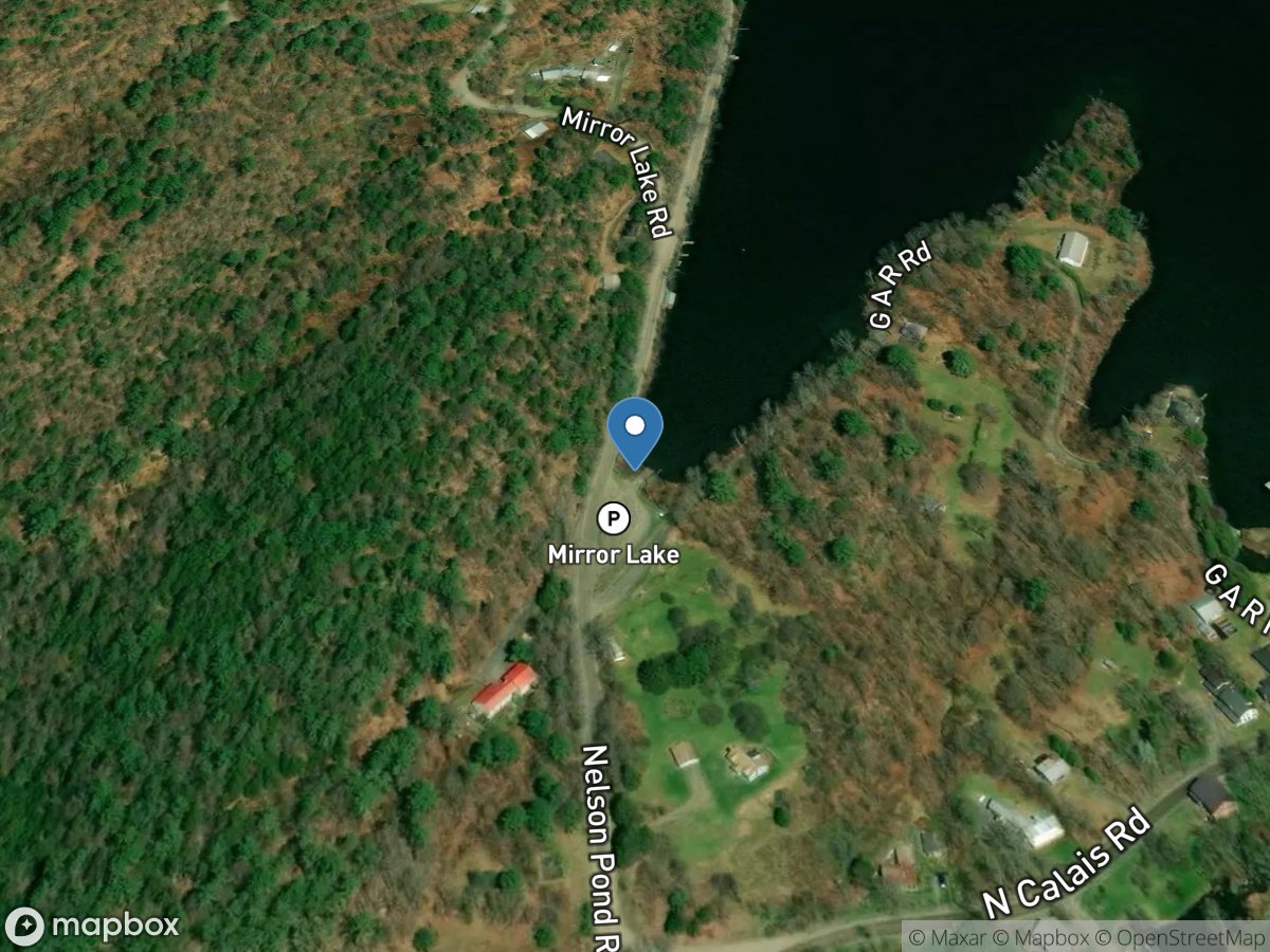
Mirror Lake
Access Site
Mirror Lake
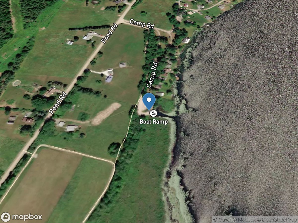
Monkton Pond
Access Site
Monkton Pond
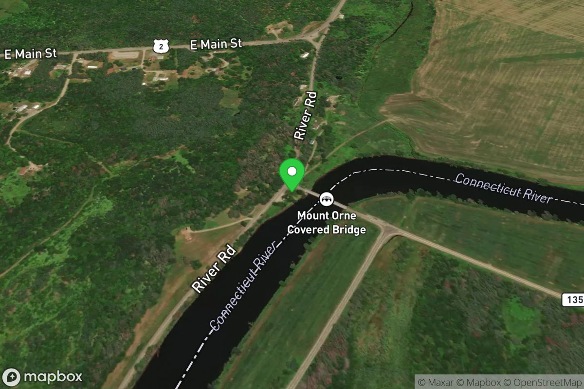
Mount Orne Covered Bridge
Access Site
Connecticut River
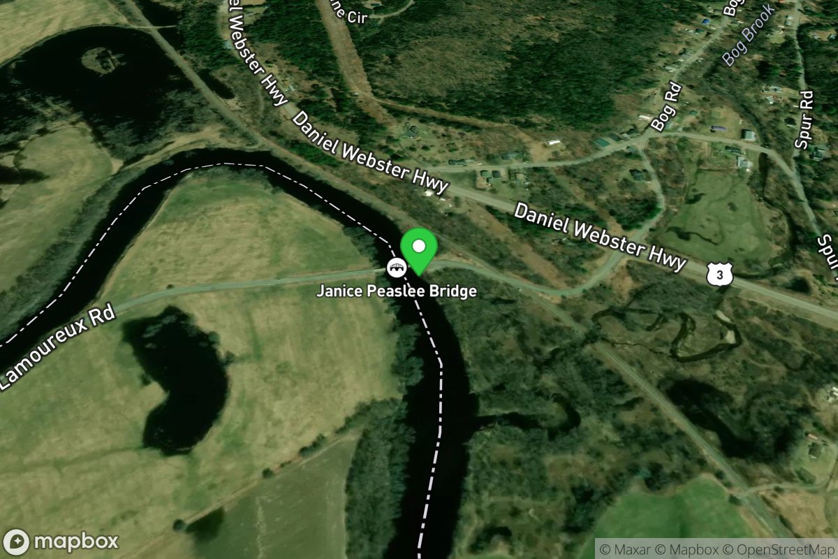
N. Stratford Access
Access Site
Connecticut River
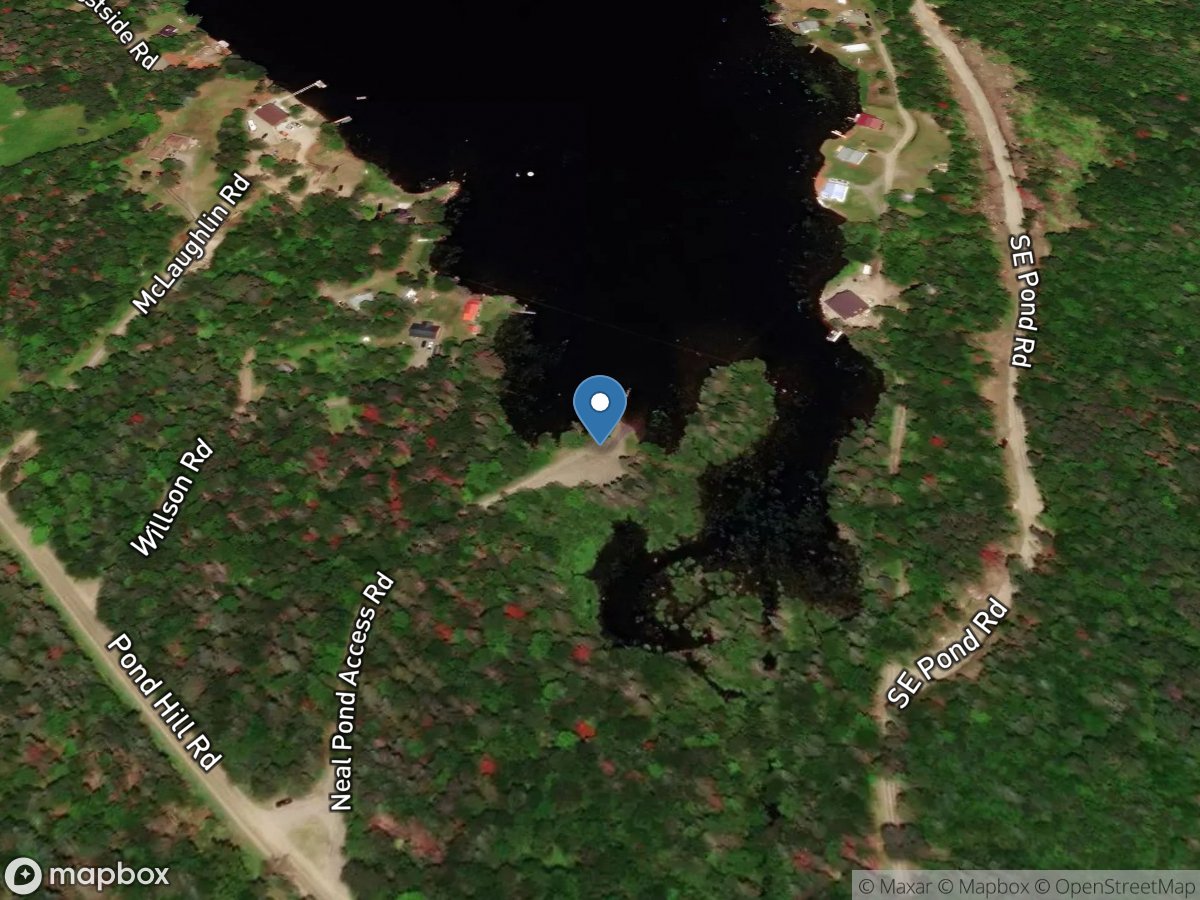
Neal Pond
Access Site
Neal Pond
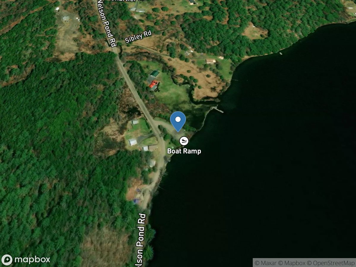
Nelson Pond
Access Site
Nelson Pond
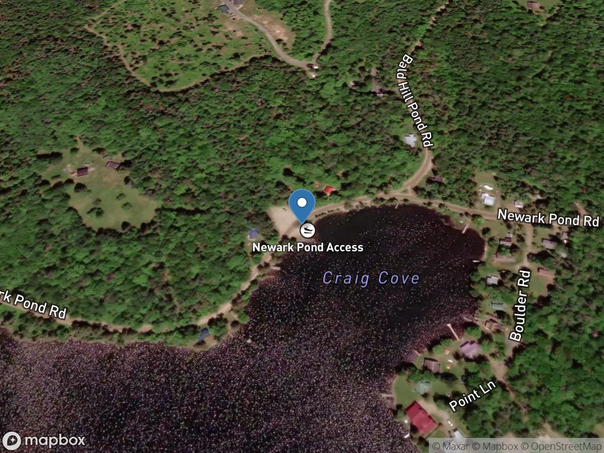
Newark Pond
Access Site
Newark Pond
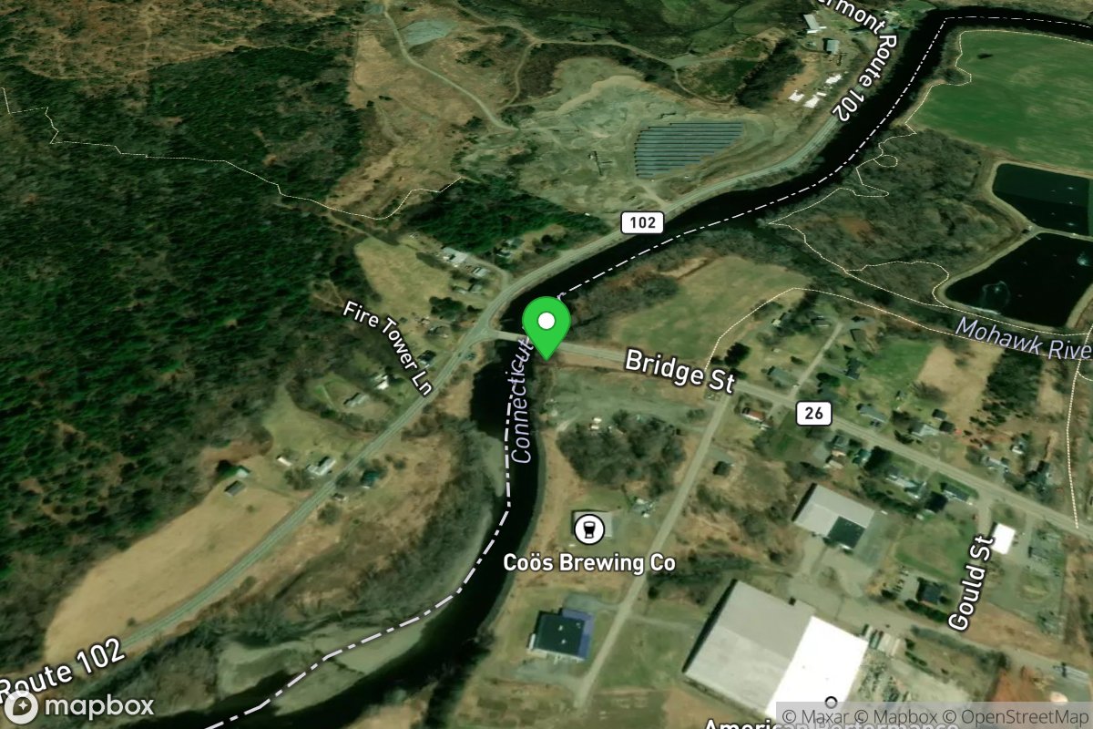
Norm's Launch
Access Site
Connecticut River
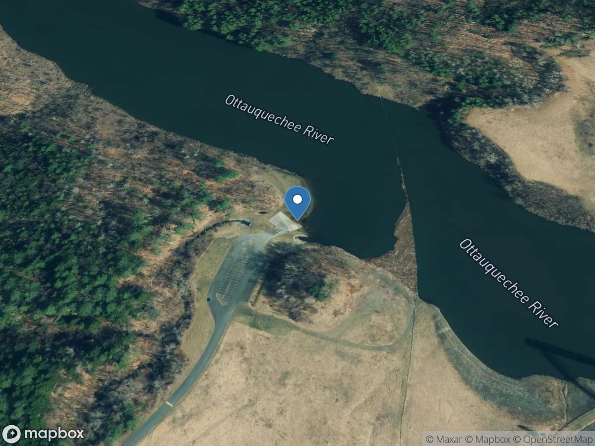
North Hartland Lake Recreation Area
Access Site
Ottauquechee River - North Hartland Lake
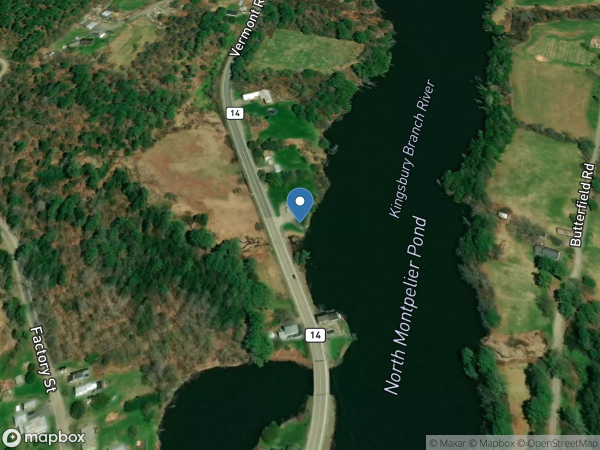
North Montpelier Pond
Access Site
North Montpelier Pond
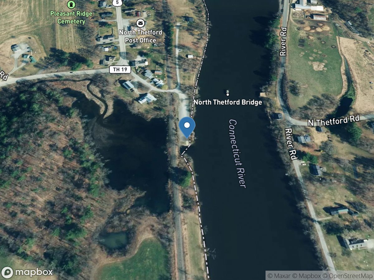
North Thetford
Access Site
Connecticut River
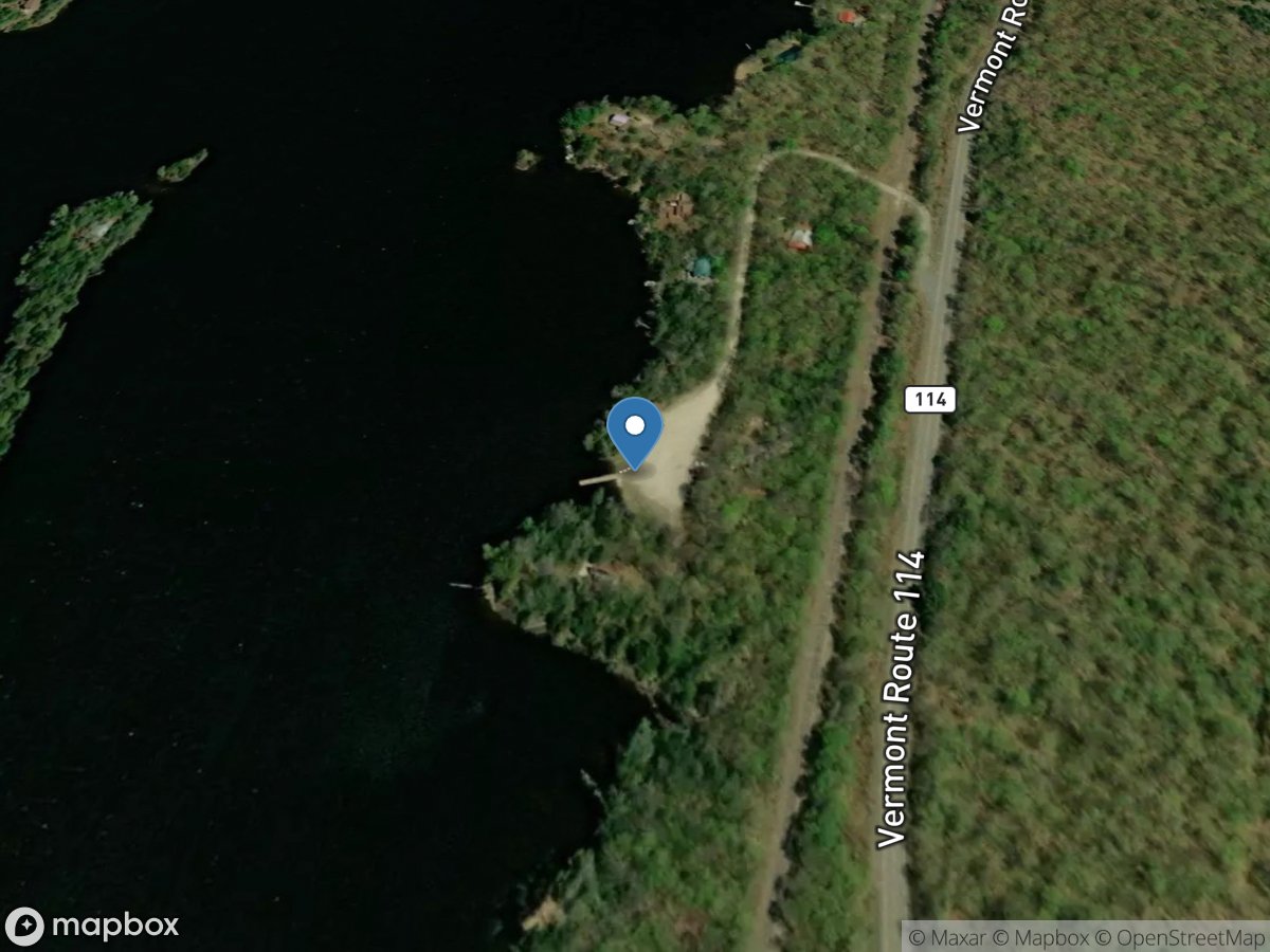
Norton Pond
Access Site
Norton Pond
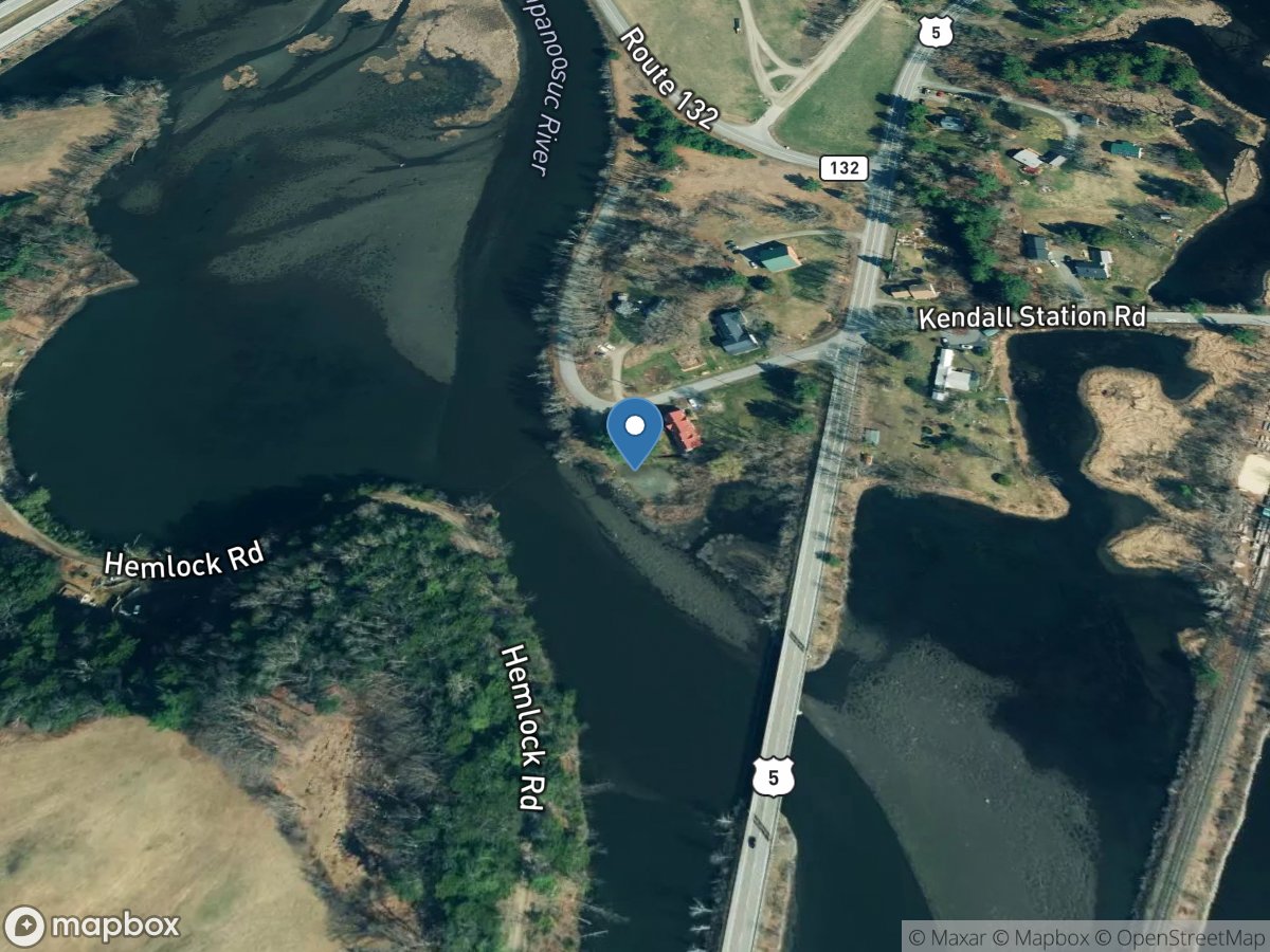
Ompompanoosuc River
Access Site
Ompompanoosuc River
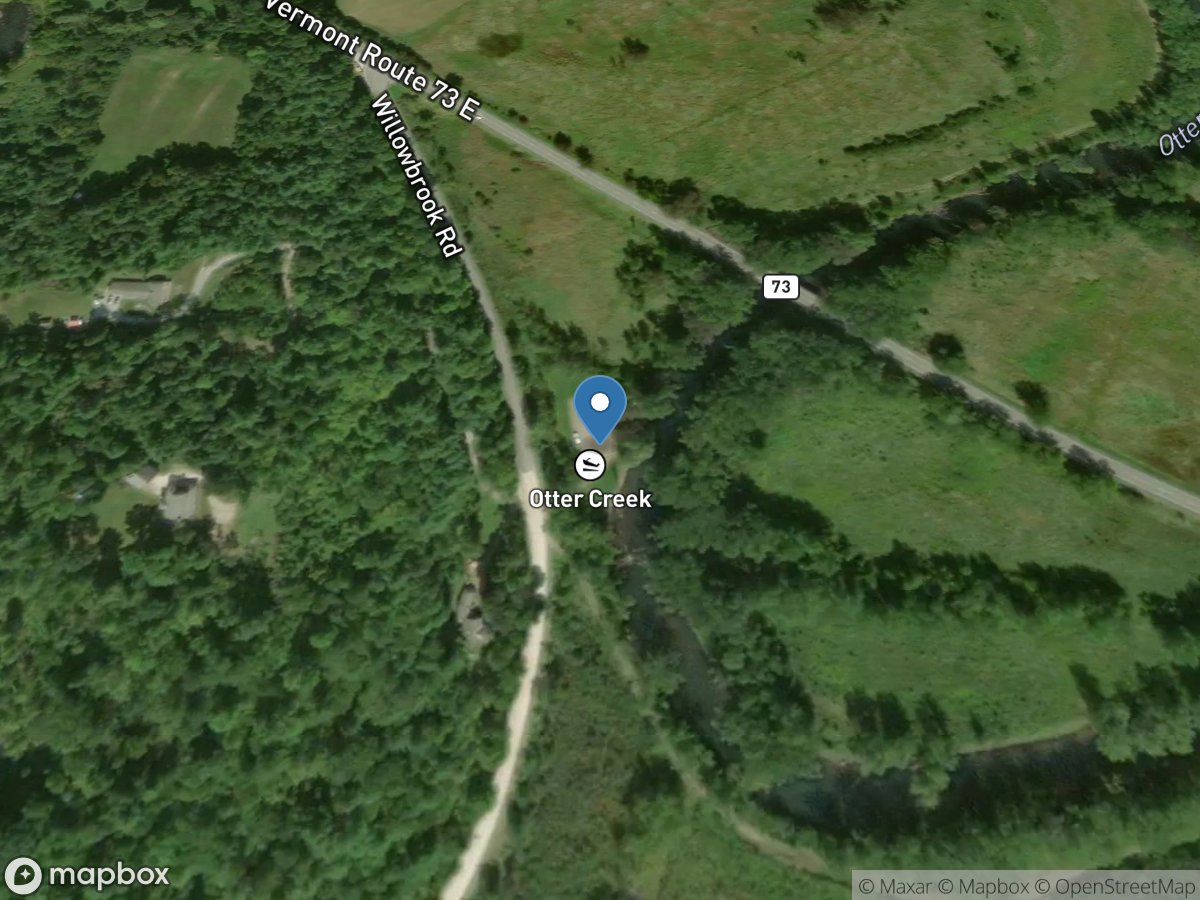
Otter Creek (Sudbury)
Access Site
Otter Creek
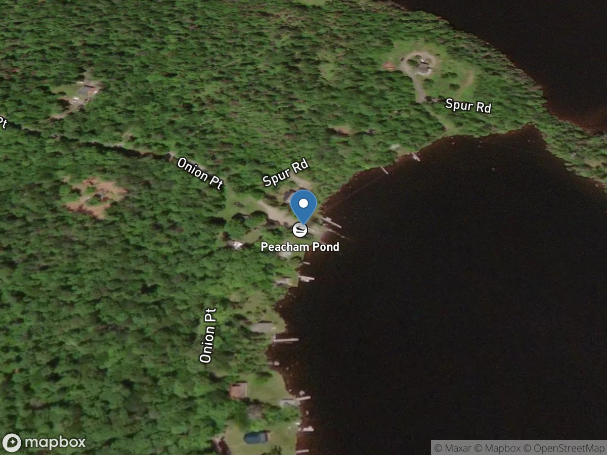
Peacham Pond
Access Site
Peacham Pond
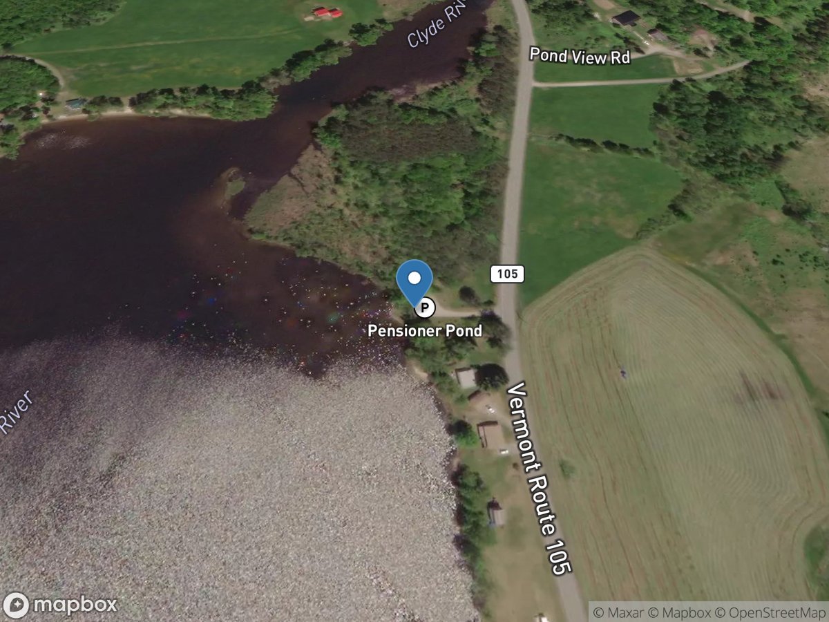
Pensioner Pond
Access Site
Pensioner Pond
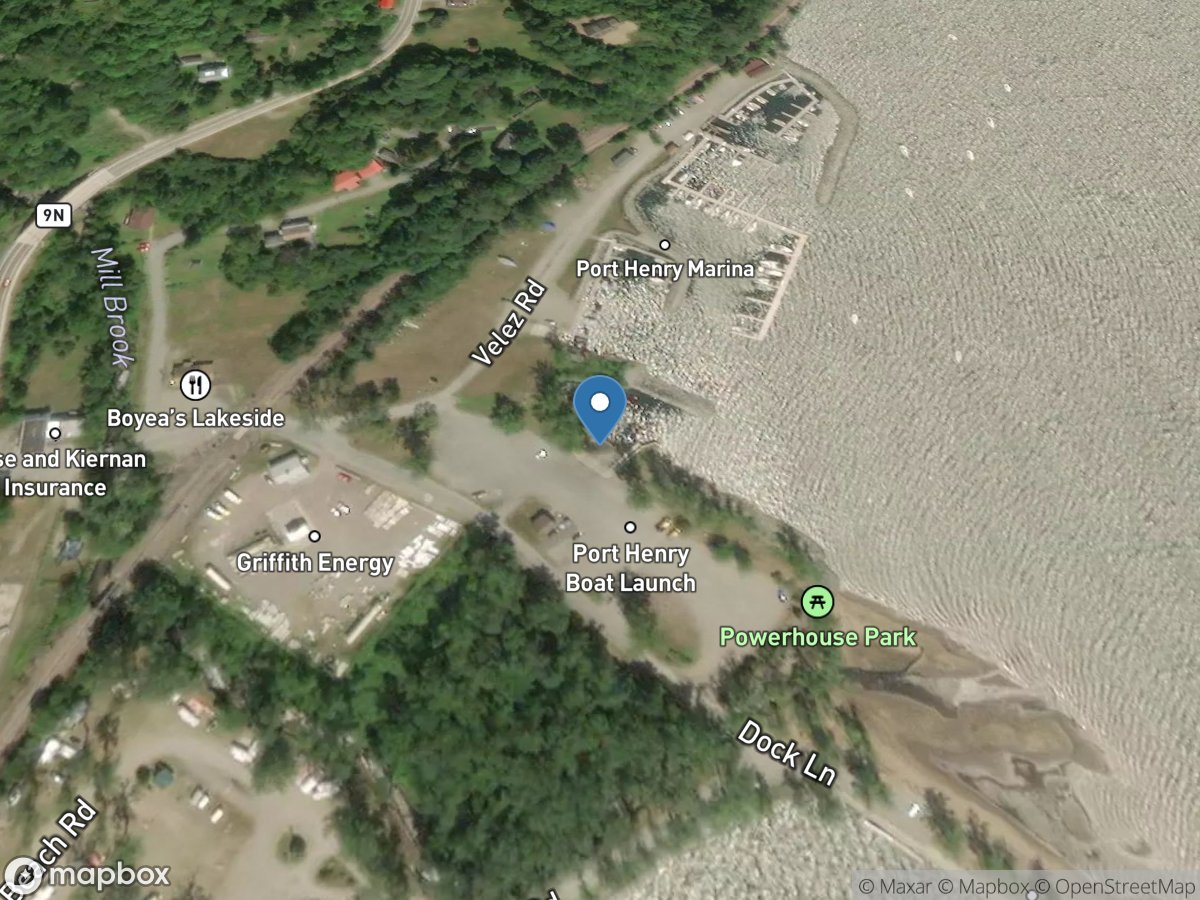
Port Henry
Access Site
Lake Champlain
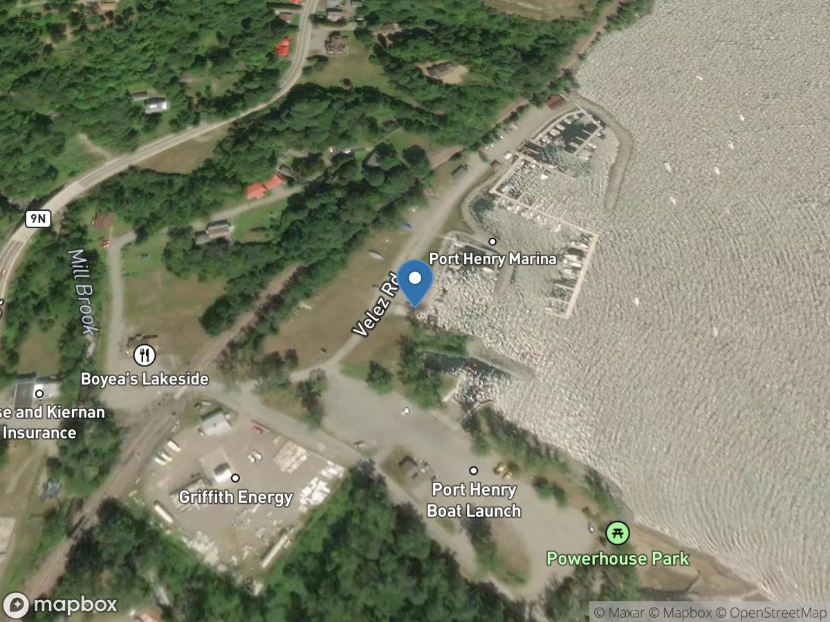
Port Henry Marina
Access Site
Lake Champlain
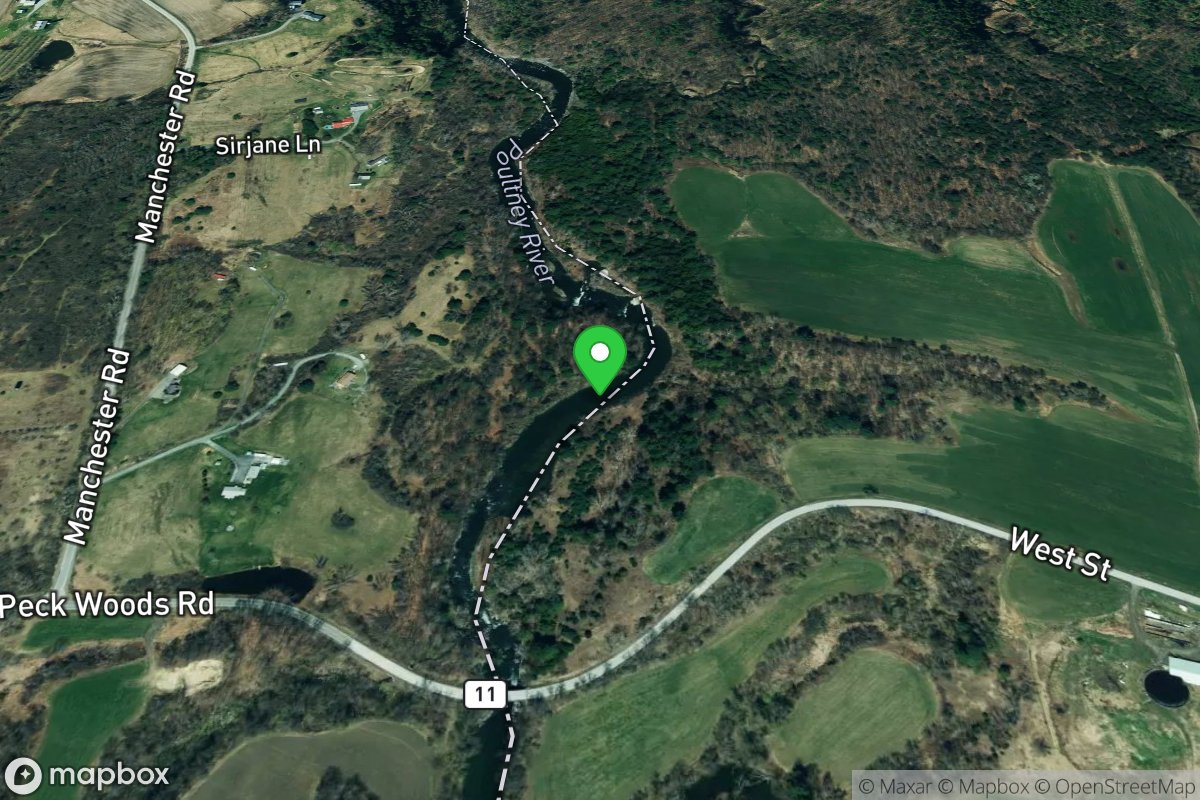
Poultney Slide (2nd drop)
Access Site
Poultney
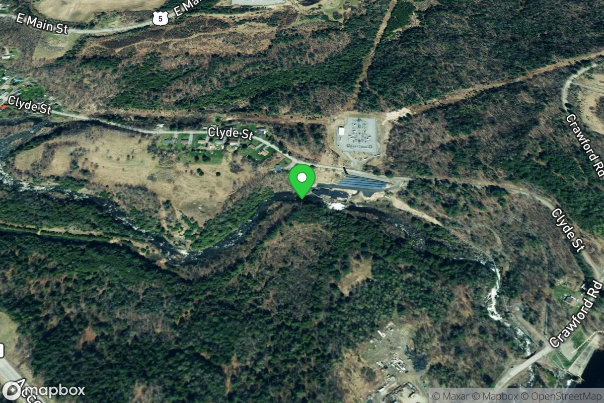
Power plant put in (Class II-III)
Access Site
Clyde
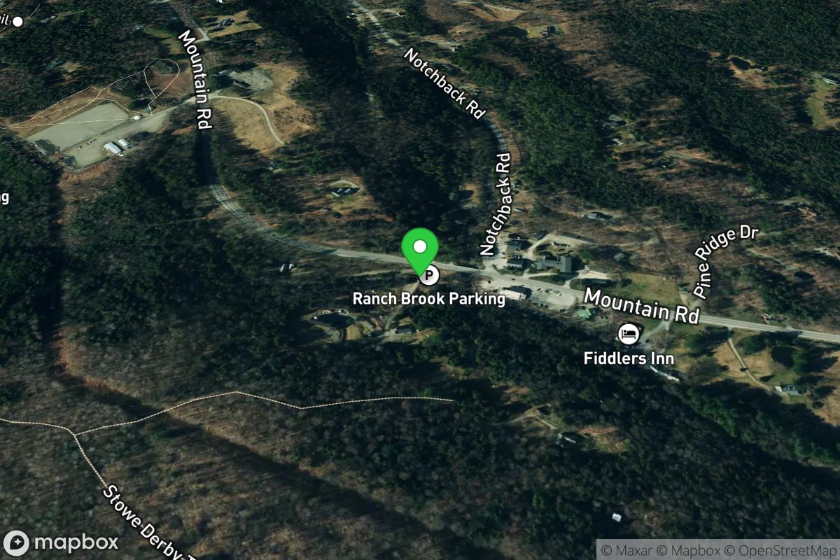
Put In
Access Site
Little, W. Branch
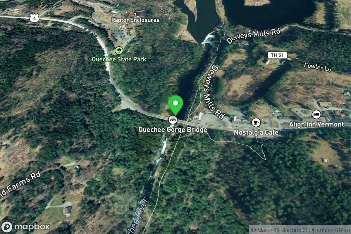
Put In
Access Site
Ottauquechee