04. Dove Creek Pump Station to Slickrock
Gauge Conditions
Data from American Whitewater & USGS
Run Map
Description
FUN FACT: When the dam is releasing water this is the best section of whitewater on the Dolores
SEASON: April to early June depending on snowpack and release from McPhee Dam.
ISSUES: Recreational users have traditionally been the last to be considered in the management plan for McPhee Dam. A proposal to construct additional diversions designed to capture even more of the spring melt will only make the situation worse. Check with the San Juan Citizen's Alliance for the latest information on this issue.
LOGISTICS: The put-in for this section is at the Mountain Sheep Point Recreation site, otherwise known as Dove Creek Pump Station, which can be accessed via County Road J which leaves Highway 666 near the town of Dove Creek. To reach the take-out, take Highway 141to the bridge across the Dolores at Slickrock. There is a launch site downstream river left of the bridge. This take out is on private property. The landowners allow take out and parking for $10 a day.
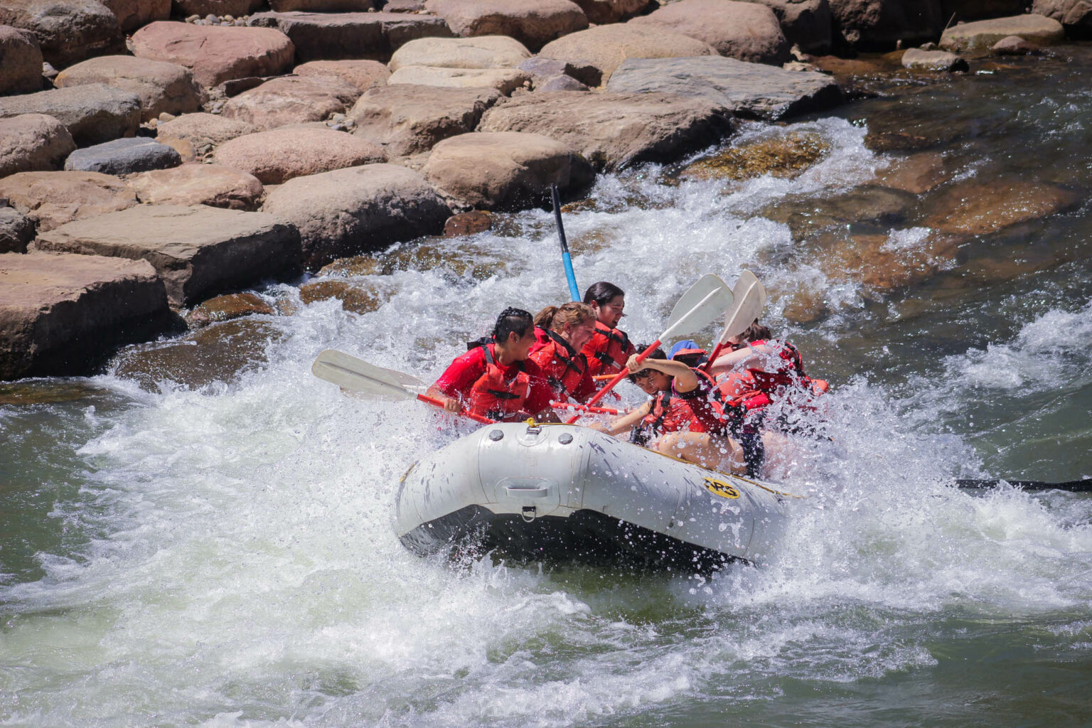
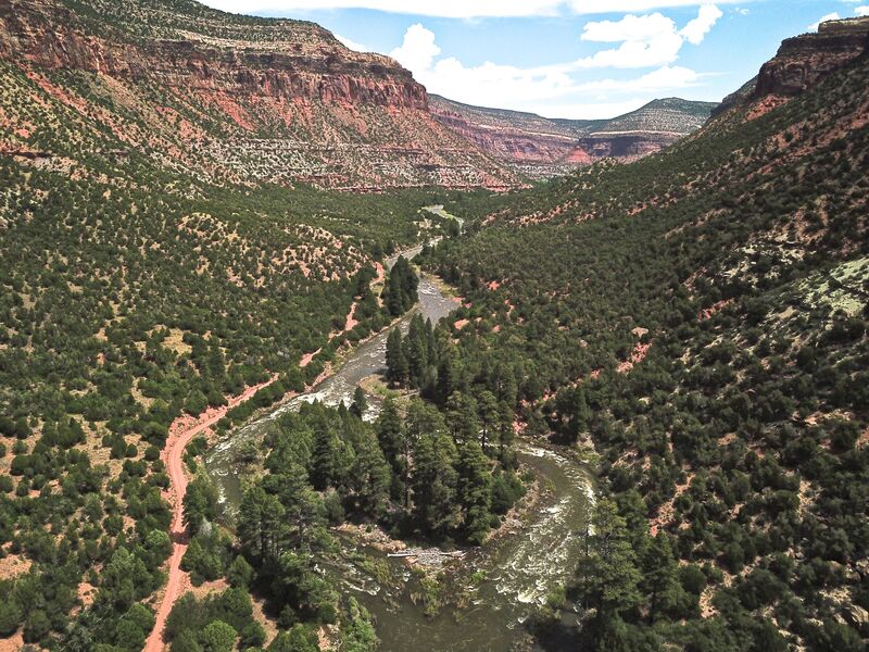
DESCRIPTION: This section of the Dolores is either the second section of a multiday trip starting at Bradfield Launch or the start of an excellent weekend trip (be warned that Memorial Day weekend can be busy if flows cooperate) for those who want to enjoy the best whitewater the Dolores has to offer. The Dolores is managed by the BLM and although permits are not currently required, you will still need your firepan, portable toilet, and dishwater strainer for overnight trips. An unimproved dirt road parrallels the first half of this section along river left. Those who want to avoid the roadside camp sites can find a couple of good sites on river right or just plan your trip to boat past this first half over the course of a day.
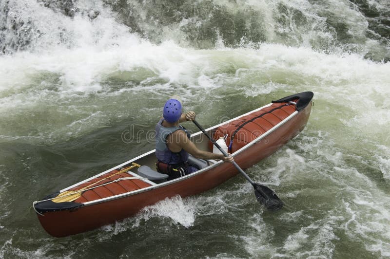
From river mile 19 at the Dove Creek Pump Station, you will start to encounter class III rapids more frequently than in the section upstream. They come every mile or so all the way up to Little Snag at mile 26. Little Snag can become a congested rapid at flows less than 1200 cfs as there are several boulders that are easy to get stuck on. It is often portaged by rafts. Experienced oarsmen will encounter few problems at higher flows.
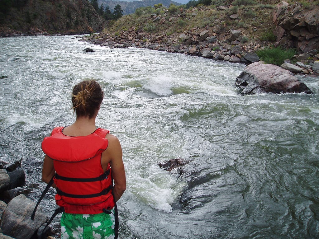
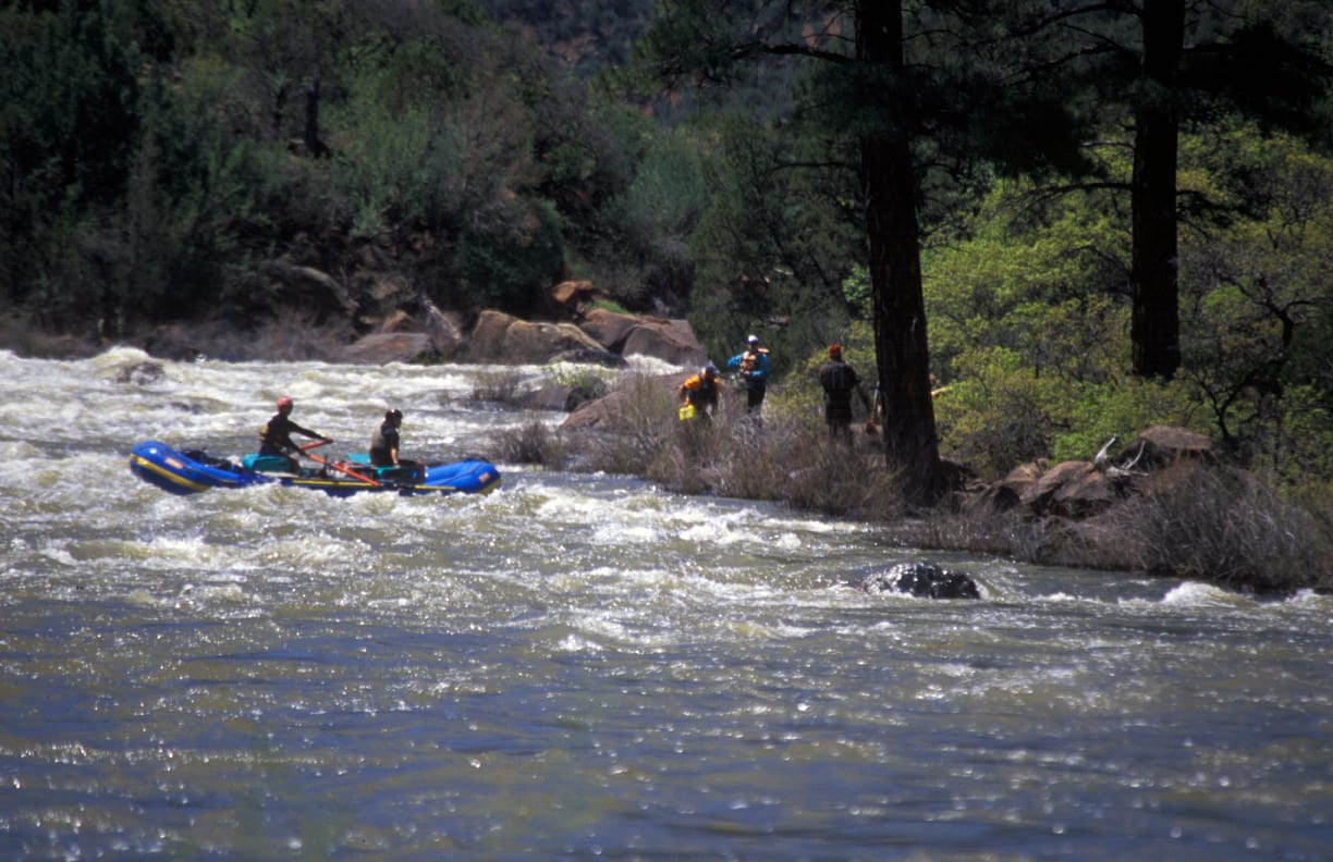
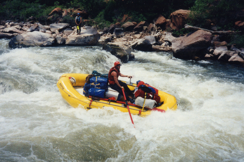
Within a mile of Little Snag the river races towards the crux rapid of the run known as Snaggletooth. This class IV rapid pushes class V above 2000 cfs and for rafts it can create class V troubles at just about any level. A portage is recommended for rafts at flows below 1000 cfs. Pay attention as you enter this section of the river as its easy to stumble into Snag before you realize it. Stay alert for the portage trail on river left that leads up to the road. You can scout the rapid from the rocks along river left and portage along the road if necessary. The tricky part of this rapid is near the end of the drop where the current slams into a sharply pointed boulder otherwise known as Snag Rock. It is normally easily avoided by kayakers, but a couple of rafts meet disaster every season when they get hung up on the rock.
After passing through Snaggletooth you'll be treated to more class II rapids before you encounter the Wall at mile 28. At this class III+ rapid the current rushes into a rock wall along river right but skilled boaters can avoid it with a ferry to river left. There are some excellent camp sites below this section particularly the one at mile 30 which is on river right away from the road.
The most continuous section of whitewater begins near mile 33. This is the start of Three-Mile Rapid, a section of fun class III whitewater. Those in kayaks will want to take their time to enjoy the fun playboating to be had in this section. By the time you are through this section the road no longer parrallels the river. The final class III rapid on this section comes near mile 38. By mile 40 the river weaves its way across private land and camping options are limited. It's here that the change in scenery becomes apparent as you enter the lower elevation desert ranchlands and leave the pines behind.
It's another 7 miles to the bridge at Slickrock and an access point on river right upstream of the bridge.
Boaters can start from further upstream or continue their trip downstream by taking advantage of boating opportunities on the following sections of the Dolores and Colorado:
- 1) Dolores River, Bradfield Launch to Dove Creek Pump Station, 19 miles, II-III
- 2) Dolores River, Dove Creek Pump Station to Slickrock, 28 miles, this page
- 3) Dolores River, Slickrock to Bedrock, 50 miles, II+(III)
- 4) Dolores River, Bedrock to Gateway, 44 miles, II+
- 5) Dolores River, Gateway to Colorado River, 30 miles, II+(IV)
- 6) Colorado River, Cisco to Moab, 47 miles, I-III
- 7) Colorado River, Moab to Lake Powell (Cataract Canyon), 112 miles, I-IV


Difficulty
Class II-III+(IV)
Length
28.0 mi
Rapids
9
Access Points
Difficulty Classes
I Easy
II Novice
III Intermediate
IV Advanced
V Expert/Extreme
VI Unrunnable
Current Conditions
5-Day Forecast
Whitewater data from
American Whitewater
American Whitewater