07. Confluence Park (of South Platte with Cherry Creek)
Gauge Conditions
Runnable: ? – ? CFS
Approximate reading: This gauge is 1.8 miles away on South Platte. Use as a general reference only.
Data from American Whitewater & USGS
Run Map
Run Time Estimate
Select put-in and take-out to estimate time.
Plan This Trip
See wind-adjusted speed maps, forecast planning, and detailed time estimates.
Sign in to generate an AI timing estimate for this run.
Whitewater timing varies with scouting, portages, and group pace. Use as a planning baseline.
Description
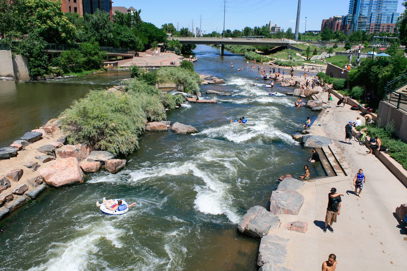
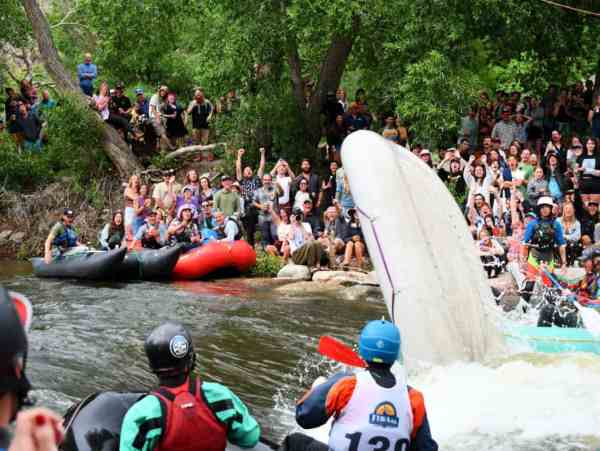
Confluence Park is the junction of Cherry Creek with the South Platte, about 1/2 way through Denver on the South Platte, right next to REI. There are about five features created specifically for boaters down the river-right side of a low head dam in a 50 yard, Class III rapid. Boat demos are sometimes held here. About 150 yards downstream, the remnants of an old bridge create a wave/hole that at most levels is better than the park upstream. If you go another couple hundred yards, there are a few more artificial rapids that do have some play in them, but are rarely run. For those who do, the South Platte River Trail runs along the river-right bank, and can be used as a walking-shuttle.
Wear good nose plugs for anything on this reach! A couple of waste plants and lots of storm drains empty into the river. (This leads to some folks calling this "Effluence Park" rather than "Confluence Park". Legend has it that if you boat Confluence regularly you never get sick 'cause your immune system is like elite special forces!)
To Get There: Take the 23rd street exit east from 1-25. There is ample parking between Ocean Journey and REI, but only a dozen or so free spots. Other parking spots are available for the creative, there are a couple of different lots downstream on Platte Street(near Confluence Kayaks).
Rapids in this Run (1)

Difficulty
Class II-III
Length
1.0 mi
Rapids
1
Access Points
Shuttle Info
It is most likely you will be walking your shuttle, so ignore the directions below. This shuttle map is enabled only to give an other overview of the area, and to allow you to enter a starting location (while the button says "Calculate from zip", almost any format of location will work) to get drive time, distance, and directions to this run.
Difficulty Classes
I Easy
II Novice
III Intermediate
IV Advanced
V Expert/Extreme
VI Unrunnable
Current Conditions
5-Day Forecast
Whitewater data from
American Whitewater
American Whitewater