1. Bend to Colorado Bend State Park (15 miles)
Gauge Conditions
Runnable: 500.0 – 5,000.0 CFS
Best boatable levels uncertain. Help us out! Add a comment or 'report'.
Data from American Whitewater & USGS
Run Map
Run Time Estimate
Select put-in and take-out to estimate time.
Plan This Trip
See wind-adjusted speed maps, forecast planning, and detailed time estimates.
Sign in to generate an AI timing estimate for this run.
Whitewater timing varies with scouting, portages, and group pace. Use as a planning baseline.
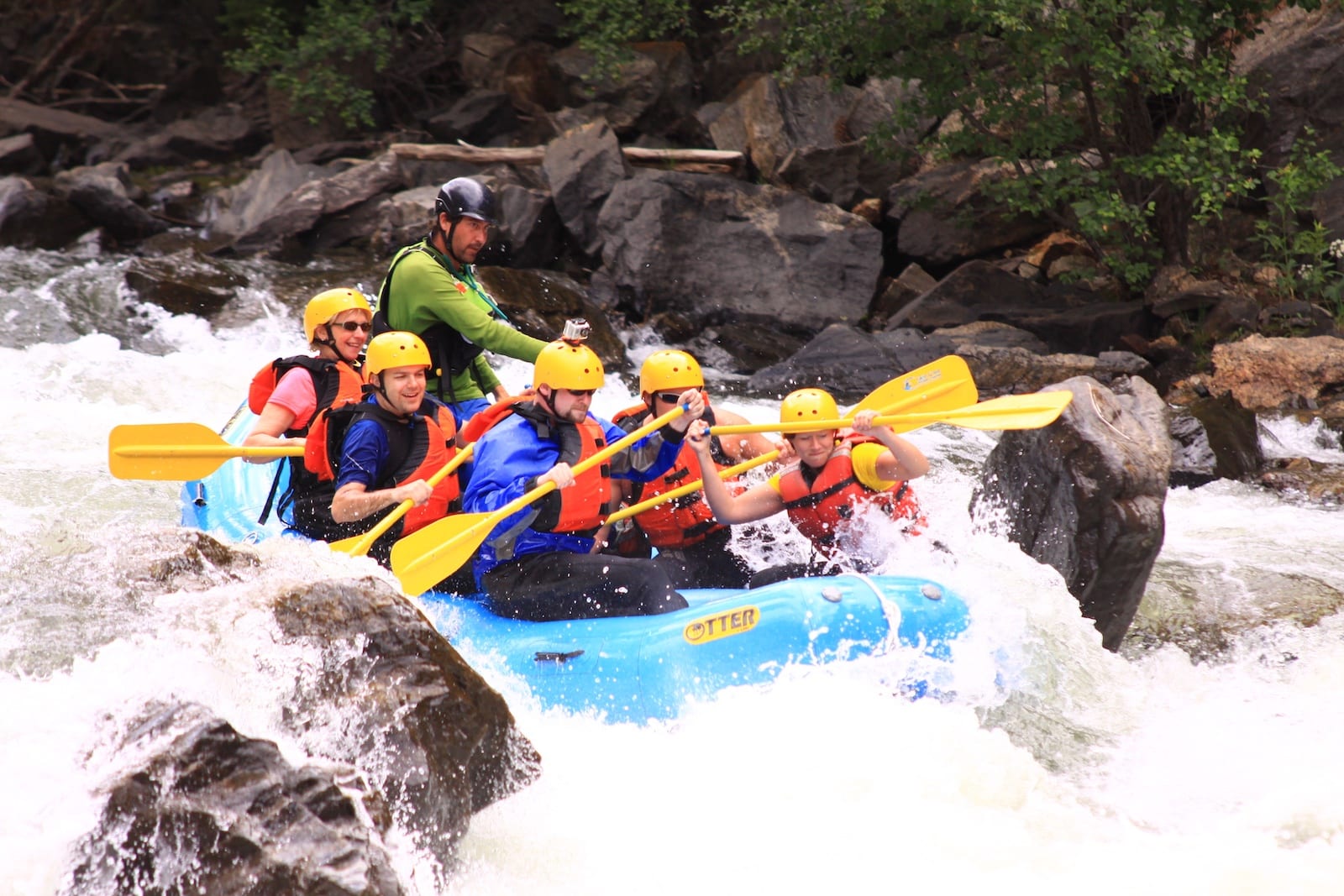
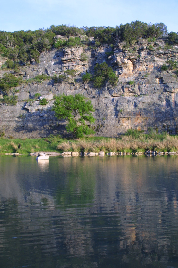
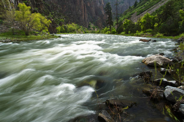
Description
Scenic float trip alongside some steep cliffs, with a few light rapids sprinkled throughout. This is the last stretch of the natural Colorado River before it enters the Highland Lakes system.
Difficulty rating and recommended flow are taken from Texas Whitewater. Distances and gradient measured using GIS tools in 2015.
Rapids in this Run (4)
Difficulty
Class I-II
Length
14.9 mi
Gradient
4 ft/mi
Rapids
4
Access Points
Difficulty Classes
I Easy
II Novice
III Intermediate
IV Advanced
V Expert/Extreme
VI Unrunnable
Current Conditions
5-Day Forecast
Whitewater data from
American Whitewater
American Whitewater