Rapid
TX
Cherokee Creek Confluence
Save this feature with the run it belongs to.
Gauge Conditions
Runnable: 500.0 – 5,000.0 CFS
Best boatable levels uncertain. Help us out! Add a comment or 'report'.
Data from American Whitewater & USGS
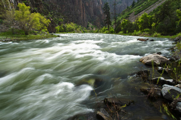
Photo
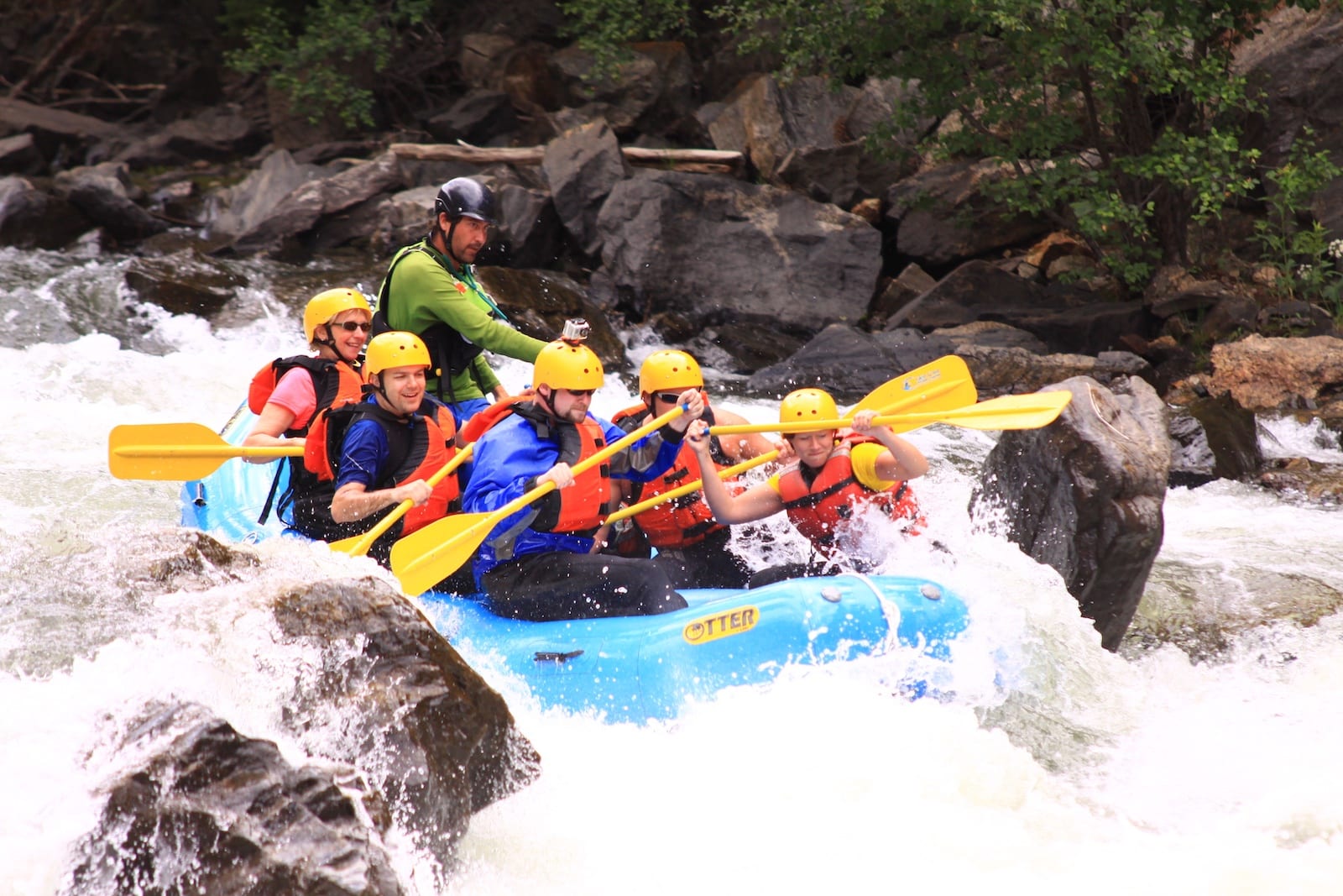
Photo courtesy of American Whitewater
Description
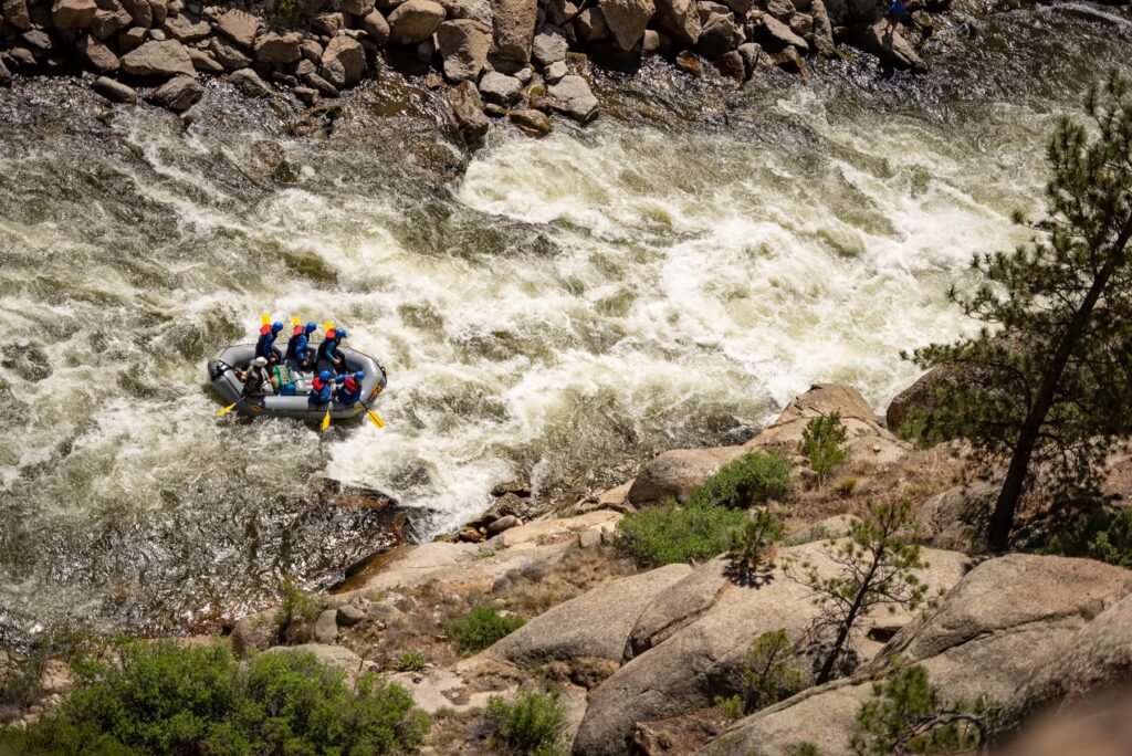
The Cherokee Creek Confluence marks the entry point where Cherokee Creek joins the Colorado River, creating a complex hydraulic environment with potential for shifting current patterns and submerged debris. Paddlers should be prepared for potential hidden obstacles and variable water conditions, particularly during fluctuating flow rates, and maintain heightened situational awareness when navigating this transition zone between the creek and main river channel.
Location
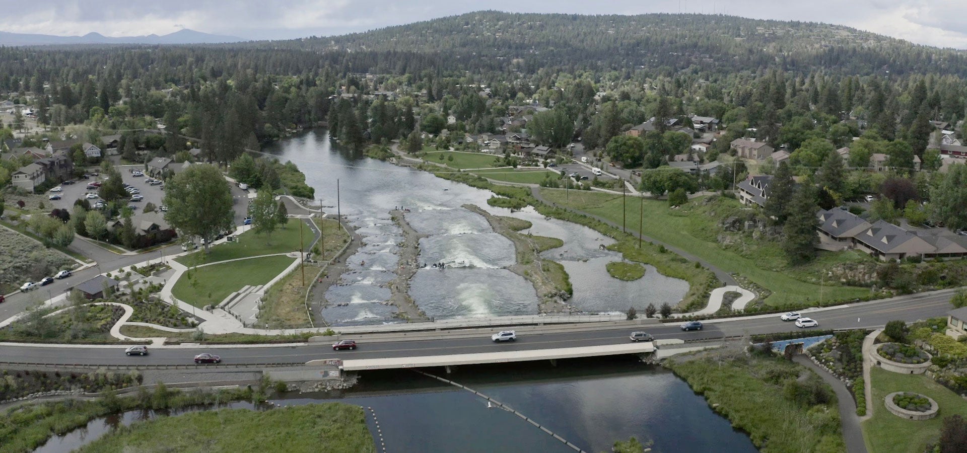
View Full Run
1. Bend to Colorado Bend State Park (15 miles)
Colorado
I-II
14.9 mi
Current Conditions
5-Day Forecast
Whitewater data from
American Whitewater
American Whitewater