1. Canadian Border to Blankenship Bridge Scenic
Gauge Conditions
Runnable: 1,000.0 – 10,000.0 CFS
Data from American Whitewater & USGS
Run Map
Put-in
Take-out
Rapids/Hazards
Scenic
Recreational
Run Time Estimate
Select put-in and take-out to estimate time.
Plan This Trip
See wind-adjusted speed maps, forecast planning, and detailed time estimates.
Sign in to generate an AI timing estimate for this run.
Whitewater timing varies with scouting, portages, and group pace. Use as a planning baseline.
Description
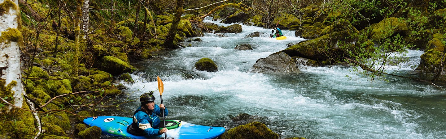
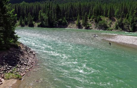
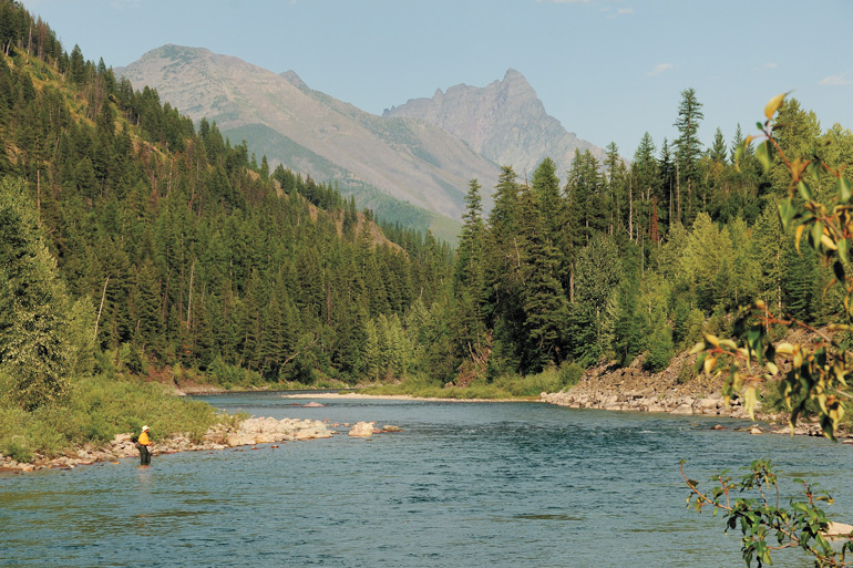
The North Fork is one of only four Wild and Scenic Rivers in Montana. It forms the southwestern border of Glacier National Park offering paddlers some of the most spectacular vistas in the Northern Rockies, blue-green water, and the chance to see grizzlies from your boat (be sure to use proper food storage practices for bear country).
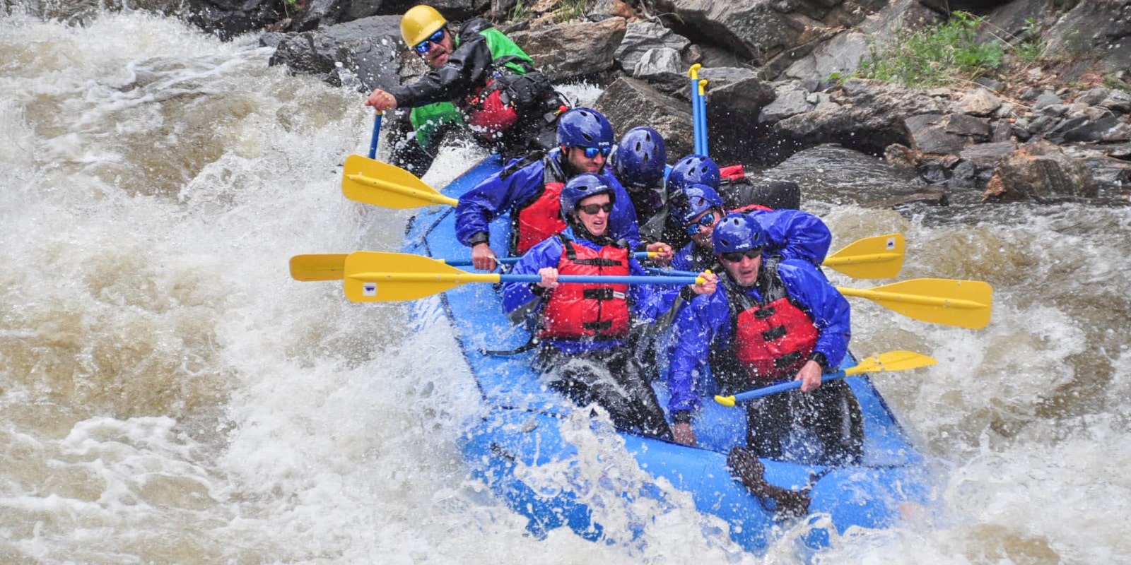
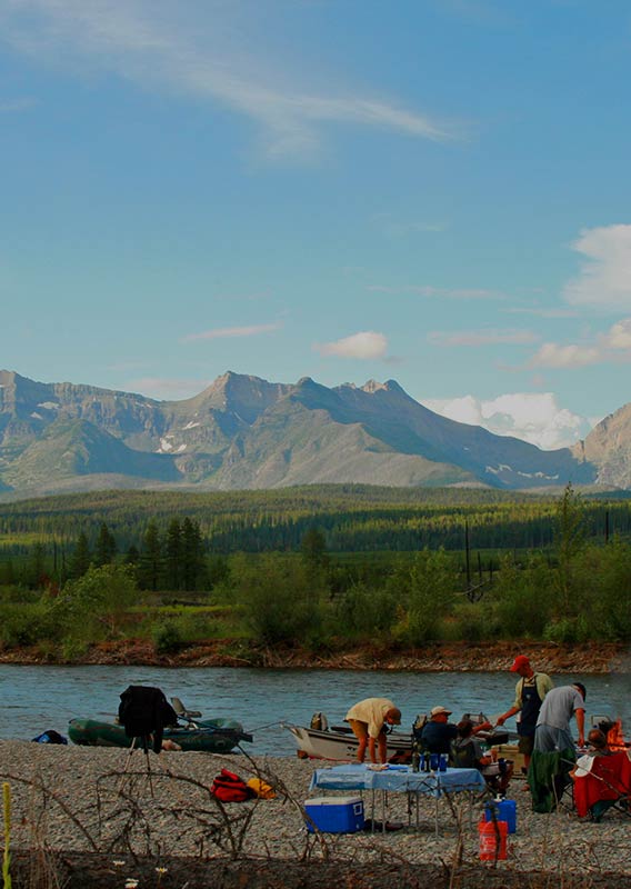
The gradient from the put-in near the Canadian Border to the take-out at Blankenship Bridge averages 15 feet per mile. The river maintains a steady pace through class I and II riffles, with an occasional rapid that may approach class III. Stay alert for wood in the river, mostly in large log jams, requiring active paddling to safely avoid. In general though, this reach is a mellow float through beautiful country. Camping is unregulated, and many people float this reach as a 2 or 3 day trip. Peak flows are in early June with low water by August that requires dragging over gravel bars and the occasional portage.
The upper reach from Canadian Border to Polebridge is class II but with numerous log jams and tight turns. No trip to the North Fork is complete without a stop at the Northern Lights Saloon in Polebridge for a beer and hot meal, and the Polebridge Mercantile for some amazing baked goods and coffee.
The segment from Polebridge to Big Creek Campground (a Forest Service campground on the right bank just after Big Creek confluence) is not considered whitewater but be alert for log jams, narrow channels, and some riffles. Stay particularly alert for braided channels that dead end in this section requiring some careful choices.
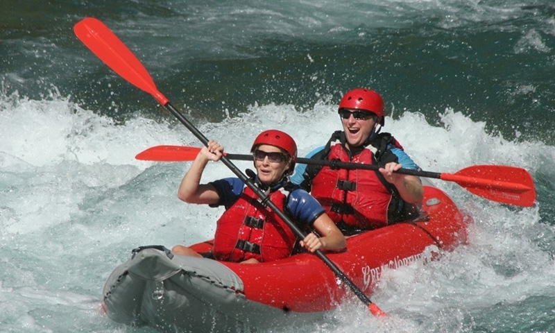
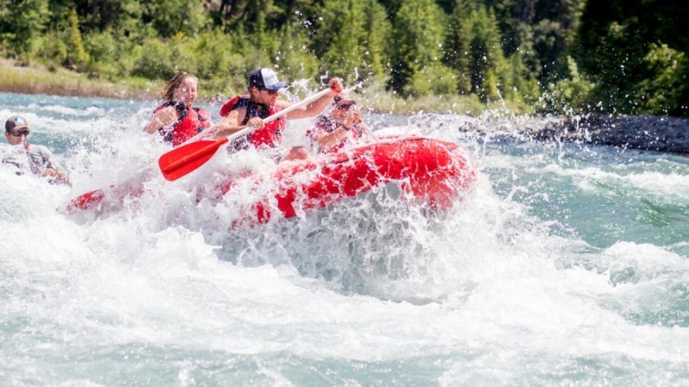
As you continue on from Big Creek to Blankenship Bridge you will encounter more whitewater and some tricky hydraulics. Fool Hen Rapids (class III) and Lower Fool Hen (class III) are about 8 miles below Big Creek and 3.5 above Glacier Rim (a good access point). About one mile above Glacier Rim you will encounter The Ledge, a pour-over extending from the right bank to the middle of the river (or farther at some levels). This is a dangerous flipper but easy to avoid if staying alert to downstream obstacles. Stay to river left and look it over. It can be impressive.
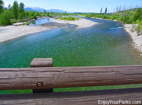
The stretch from Glacier Rim to Blankenship is a relatively easy 4 mile section. The confluence of the Middle Fork and North Fork of the Flathead is just above Blankenship Bridge. Better access for vehicles is on the east side of the bridge but many stay on the west side to avoid the ferry across both forks to reach that bank. Lower water makes this quite easy.
Rapids in this Run (12)


Hazards & Portages (1)
Caution: The following locations may require scouting or portaging. Always check current conditions.
Difficulty
Class I-II+(III)
Length
58.0 mi
Gradient
15 ft/mi
Rapids
12
1 Hazard
Access Points
Difficulty Classes
I Easy
II Novice
III Intermediate
IV Advanced
V Expert/Extreme
VI Unrunnable
Current Conditions
5-Day Forecast
Whitewater data from
American Whitewater
American Whitewater