1. Eagle Rock (Route 43) to Springwood (Route 630)
Gauge Conditions
Runnable: 500.0 – 25,000.0 CFS
Data from American Whitewater & USGS
Run Map
Run Time Estimate
Select put-in and take-out to estimate time.
Plan This Trip
See wind-adjusted speed maps, forecast planning, and detailed time estimates.
Sign in to generate an AI timing estimate for this run.
Whitewater timing varies with scouting, portages, and group pace. Use as a planning baseline.
Description
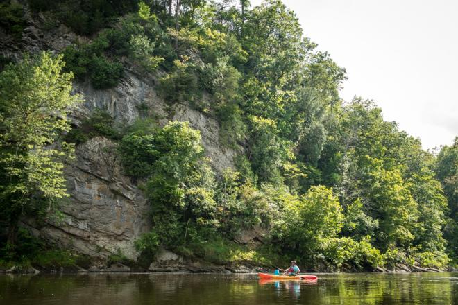
Very mellow run, mostly flat water with small ledges. Good putin for a couple day paddle to the Snowden dam (Balcony run). Lots of national forest land to camp on, and very private. One could paddle to Alpine and camp overnight, then paddle to Natural Bridge, camp and takeout at the bottom of the Balcony run. Great smallmouth on entire reach..
See Also:
Upper James Water Trail for excellent maps and other info.
_Classic Virginia Rivers,_ Ed Grove (1992 ed), p. 224.
_Virginia Whitewater_, Roger Corbett (2000 ed.), p. 278.
_Exploring Virginia's Waterways_, Ed Gertler (2022 ed.), p. 196.
Rapids in this Run (1)
Difficulty
Class I-II
Length
17.0 mi
Gradient
4 ft/mi
max 5
Rapids
1
Access Points
Difficulty Classes
I Easy
II Novice
III Intermediate
IV Advanced
V Expert/Extreme
VI Unrunnable
Current Conditions
5-Day Forecast
Whitewater data from
American Whitewater
American Whitewater