Rapid
VA
Horseshoe Bend access
Save this feature with the run it belongs to.
Gauge Conditions
Data from American Whitewater & USGS
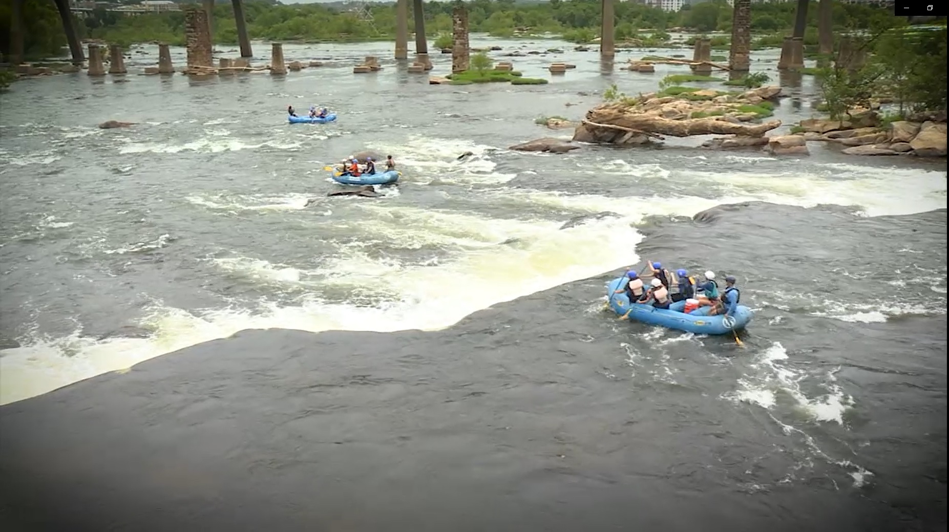
Photo

Photo courtesy of American Whitewater
Description
The Horseshoe Bend access point provides a straightforward put-in on the James River with minimal technical challenges. Paddlers should be aware of potential river debris and fluctuating water levels typical of this section, and scout conditions before launching.
Location
Other Rapids on This Run (2)
View Full Run
1. Eagle Rock (Route 43) to Springwood (Route 630)
James
I-II
17.0 mi
Current Conditions
5-Day Forecast
Whitewater data from
American Whitewater
American Whitewater