Take-out
VA
Take Out
Save this feature with the run it belongs to.
Gauge Conditions
Data from American Whitewater & USGS
Photo

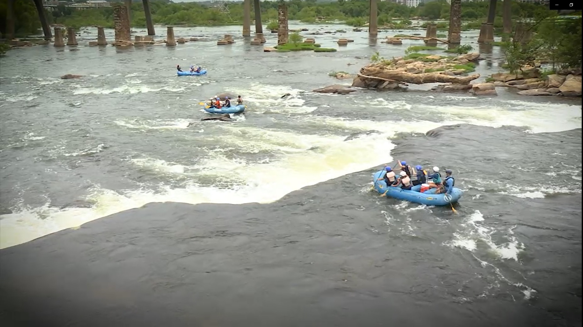
Photo courtesy of American Whitewater
Description
Take Out rapid marks the end of the Eagle Rock to Springwood river section, signaling paddlers they've reached their exit point. While specifics about this rapid's technical features are limited, its location suggests careful navigation may be required as paddlers prepare to leave the river at this transition point.
Location
Other Rapids on This Run (2)

View Full Run
1. Eagle Rock (Route 43) to Springwood (Route 630)
James
I-II
17.0 mi
Current Conditions
5-Day Forecast
Whitewater data from
American Whitewater
American Whitewater