1. Garrison Dam to Bandera (27 miles)
Gauge Conditions
Runnable: 250.0 – 10,000.0 CFS
Upper limit of recommended boatable flows uncertain. Please contribute a comment or report.
Data from American Whitewater & USGS
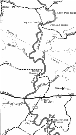
Run Map
Run Time Estimate
Select put-in and take-out to estimate time.
Plan This Trip
See wind-adjusted speed maps, forecast planning, and detailed time estimates.
Sign in to generate an AI timing estimate for this run.
Whitewater timing varies with scouting, portages, and group pace. Use as a planning baseline.
Description
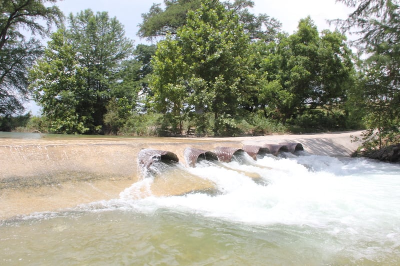
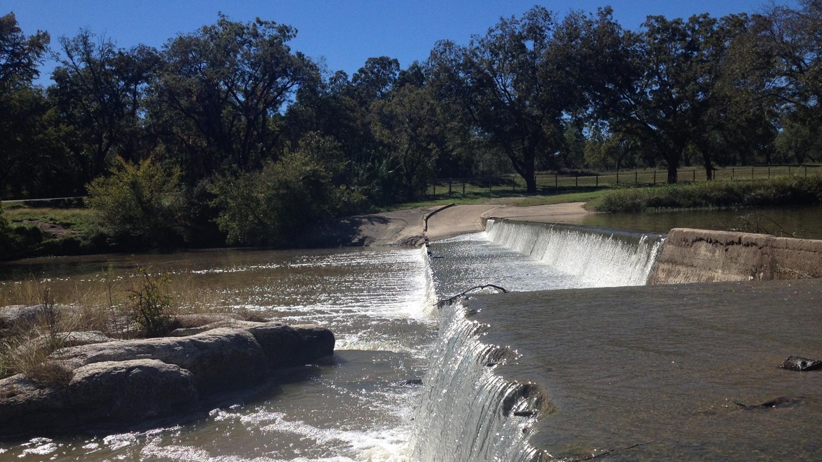
Mostly a scenic float trip with multiple put-in/takeout options. Numerous low-water crossings exist along the run, and Texas Whitewater implies that at least most of these are runnable at high water, but all low-water crossings are potential hazards. Exercise extreme caution around them. Current beta is needed regarding the location of specific rapids along this stretch.
Distances and gradient measured using GIS tools in 2015.
Rapids in this Run (3)
Hazards & Portages (9)
Caution: The following locations may require scouting or portaging. Always check current conditions.
 Hazard
Coalkiln Rd (Low-Water Crossing)
 Hazard
Elm Creek Rd (Low-Water Crossing)
 Hazard
Patterson Ave/Flower Moffett Rd (Low-Water Crossing)
 Hazard
Chenaults Ln (Private Low-Water Crossing)
 Hazard
Bandina Ranch Rd (Low-Water Crossing)
 Hazard
Peaceful Valley Rd (Low-Water Crossing)
 Hazard
Private Low-Water Crossing
 Hazard
6th St/Schmidtke Rd (Low Bridge)
 Hazard
1st St/Rugh Hill Rd (Low Bridge)
Difficulty
Class I-II
Length
27.5 mi
Gradient
13 ft/mi
Rapids
3
9 Hazards
Access Points
Difficulty Classes
I Easy
II Novice
III Intermediate
IV Advanced
V Expert/Extreme
VI Unrunnable
Current Conditions
5-Day Forecast
Whitewater data from
American Whitewater
American Whitewater