Hazard
TX
Chenaults Ln (Private Low-Water Crossing)
Save this feature with the run it belongs to.
Gauge Conditions
Runnable: 250.0 – 10,000.0 CFS
Upper limit of recommended boatable flows uncertain. Please contribute a comment or report.
Data from American Whitewater & USGS
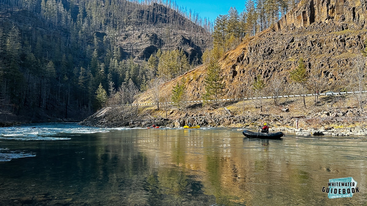
Photo
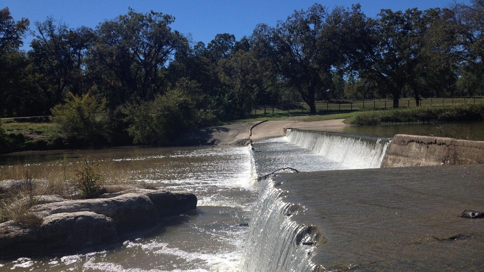
Photo courtesy of American Whitewater
Description
Possible hazard. This low water crossing is a hazard and should be portaged. I crossed it the somewhere around 600 cfs there are 3 or culverts under the road crossing, on the river left side. the river right side creates a nasty hydralic (large boil line) as the water goes over the road. Be sure to portage if water is greater than 500 cfs. Large tree down shortly after the crossing. Mandatory porage due to strainer after crossing. With in a couple hundred yards.
Location
Other Rapids on This Run (13)
 Rapid
N/A
Rapid
N/A
Garrison Dam
 Hazard
N/A
Hazard
N/A
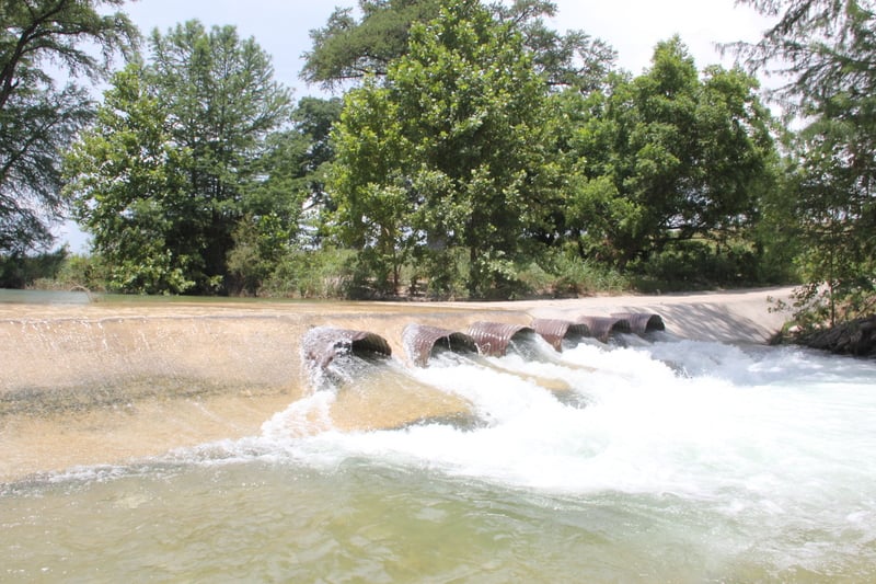
Coalkiln Rd (Low-Water Crossing)
 Hazard
N/A
Hazard
N/A
Elm Creek Rd (Low-Water Crossing)
 Hazard
N/A
Hazard
N/A
Patterson Ave/Flower Moffett Rd (Low-Water Crossing)
 Rapid
N/A
Rapid
N/A
SH 16 (Three-Mile Bridge)
 Hazard
N/A
Hazard
N/A
Bandina Ranch Rd (Low-Water Crossing)
 Hazard
N/A
Hazard
N/A
Peaceful Valley Rd (Low-Water Crossing)
Rapid
N/A
SH 16 Bridge (Ranger Crossing)
Rapid
N/A
FM 470 Bridge (Tarpley Crossing)
 Hazard
N/A
Hazard
N/A
Private Low-Water Crossing
 Hazard
N/A
Hazard
N/A
6th St/Schmidtke Rd (Low Bridge)
 Hazard
N/A
Hazard
N/A
1st St/Rugh Hill Rd (Low Bridge)
Rapid
N/A
Bandera City Park
View Full Run
1. Garrison Dam to Bandera (27 miles)
Medina
I-II
27.5 mi
Hazard — Exercise extreme caution in this area.
Current Conditions
5-Day Forecast
Whitewater data from
American Whitewater
American Whitewater