1. Hye to Johnson City (16.7 miles)
Gauge Conditions
Runnable: 900.0 – 10,000.0 CFS
Upper limit on boatable flows uncertain. Please add a comment or report.
Runnable: 1,500.0 – 15,000.0 CFS
Data from American Whitewater & USGS
Run Map
Run Time Estimate
Select put-in and take-out to estimate time.
Plan This Trip
See wind-adjusted speed maps, forecast planning, and detailed time estimates.
Sign in to generate an AI timing estimate for this run.
Whitewater timing varies with scouting, portages, and group pace. Use as a planning baseline.
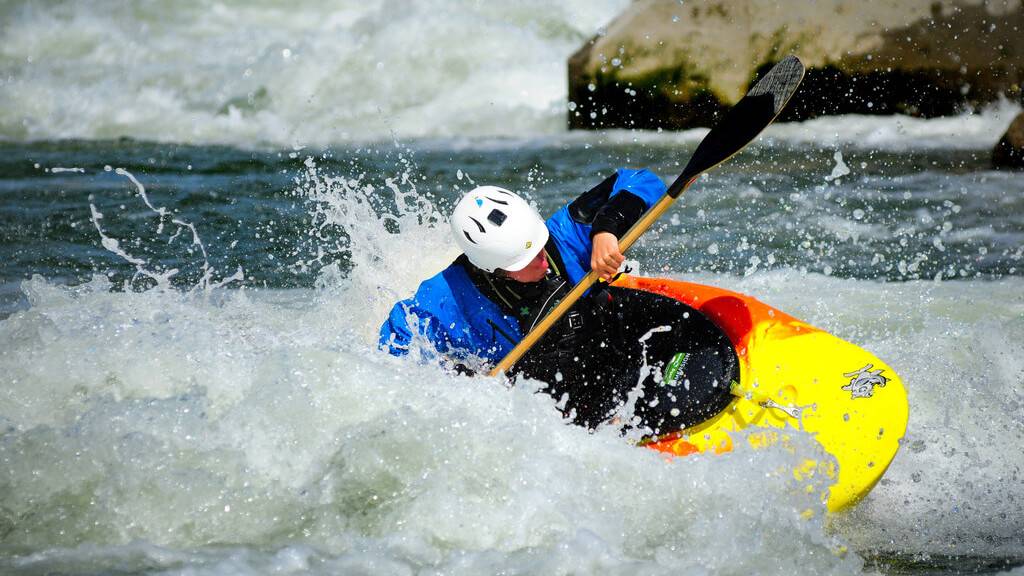
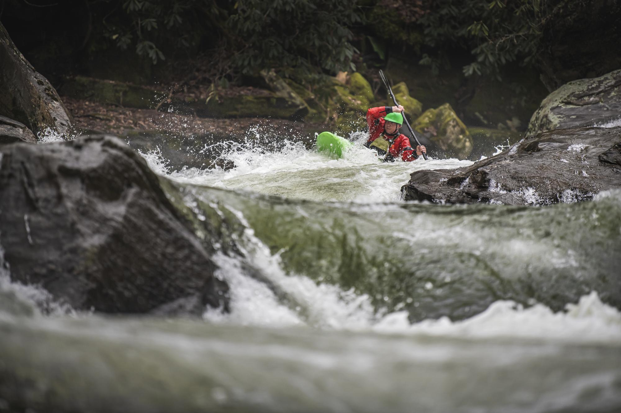
Description
The Upper Perd doesn't go very often, but when it goes, it goes big. The river bed is extraordinarily wide (often well over 100 yards), so even thousands of cfs on this run will still be surprisingly shallow. Many whitewater boaters won't bother with this stretch until it gets near 10,000 cfs. For more specific beta, see Texas Whitewater. Difficulty rating and range of recommended flow are taken from the book.
Distances and gradient measured using GIS tools in 2015.
Rapids in this Run (4)
Hazards & Portages (2)
Caution: The following locations may require scouting or portaging. Always check current conditions.
Difficulty
Class II-IV
Length
16.6 mi
Gradient
16 ft/mi
Rapids
4
2 Hazards
Access Points
Difficulty Classes
I Easy
II Novice
III Intermediate
IV Advanced
V Expert/Extreme
VI Unrunnable
Current Conditions
5-Day Forecast
Whitewater data from
American Whitewater
American Whitewater