Hazard
TX
Low-Head Dam
Save this feature with the run it belongs to.
Gauge Conditions
Runnable: 900.0 – 10,000.0 CFS
Upper limit on boatable flows uncertain. Please add a comment or report.
Data from American Whitewater & USGS
Photo

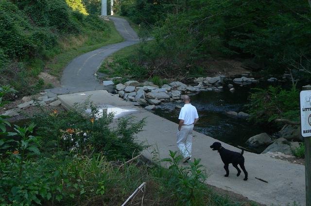
Photo courtesy of American Whitewater
Description
The Low-Head Dam on the Pedernales River presents an extreme hazard to paddlers, creating a dangerous hydraulic that can trap and recirculate boats and swimmers. This artificial structure forms a uniform, river-wide ledge that generates a powerful backwash with virtually no escape routes, making it essentially unrunnable and a critical portage point for any river traveler.
Location
Interactive river map
Loads as you approach this section.
Other Rapids on This Run (7)

View Full Run
1. Hye to Johnson City (16.7 miles)
Pedernales
II-IV
16.6 mi
Hazard — Exercise extreme caution in this area.
Current Conditions
5-Day Forecast
Whitewater data from
American Whitewater
American Whitewater