1. Lost Creek Reservoir to Gold Ray Dam (up to 31.6 miles)
Gauge Conditions
Runnable: 1,000.0 – 3,000.0 CFS
Best boatable levels uncertain. Help us out! Add a comment or 'report'.
Data from American Whitewater & USGS
Run Map
Run Time Estimate
Select put-in and take-out to estimate time.
Plan This Trip
See wind-adjusted speed maps, forecast planning, and detailed time estimates.
Sign in to generate an AI timing estimate for this run.
Whitewater timing varies with scouting, portages, and group pace. Use as a planning baseline.
Description
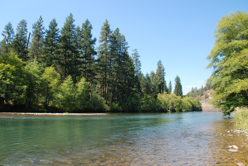
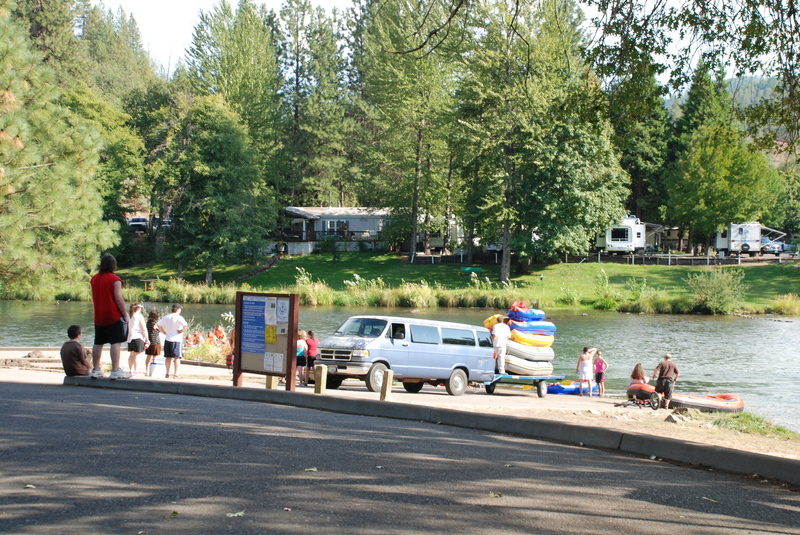
Mellow whitewater popular as a day trip for self-guided floaters throughout the summer.
The 13 mile section of this reach upstream of Shady Grove has become popular as a summer float for self-guided trips.
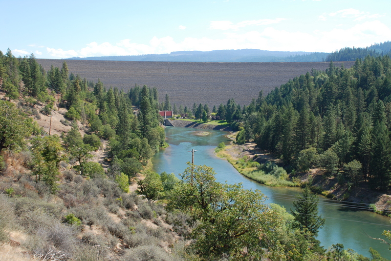
Logistics: Lost Creek Dam is located at river mile 157.5, elevation 1572' (at the base). The most upstream put-in is at the McGregor boat ramp just downstream of the fish barrier dam. To reach this put-in head north on Highway 62 to mile 29.1. Turn left before crossing the Rogue River and head upstream along river right 0.5 mile to the McGregor Recreation Area. Turn right onto Cole M. Rivers Drive following the signs for the fish hatchery. In 0.2 mile you will be at the McGregor Boat Ramp.
Access is available at Casey State Park at Highway 62 mile 29.
Access is available at Rogue Elk Park at Highway 62 mile 25.7.
A popular take-out for day runs on this section is available in the town of Shady Cove. To reach this boat ramp head to Highway 62 mile 20.1 (on the north side of the bridge across the Rogue River) and turn onto Rogue River Drive headed downstream. Continue 0.1 mile to Shady Cove County Park.
Dodge Bridge County Park provides ramp access at Highway 234 mile 15.8 where you turn onto Rogue River Drive. In 0.2 miles you turn onto Dodge Bridge Road and follow it 0.2 miles down to the river and a put-in in the park on the upstream river right side of the bridge.
Table Rock Road bridge has an access site with ramp on the downstream river right side of the bridge.
The former Gold Ray Dam site is located at river mile 125.9, elevation 1145' (at the crest). From I-5 exit 35 take Blackwell Road 1.5 miles northwest to Gold Ray Road. Take Gold Ray road 1.4 miles to Gold Ray Dam site.
Rapids in this Run (12)
 Rapid
Rapid
Lost Creek Dam
 Rapid
Rapid
Casey State Park Access
 Rapid
II-
Rapid
II-
marked "Rapids" #1
 Rapid
II-
Rapid
II-
marked "Rapids" #2
Rapid
Gage location
Rapid
Rogue Elk Park Access
 Rapid
I+
Rapid
I+
Trail Creek Riffle
 Rapid
Rapid
Upper Rogue Regional Park, Shady Cove
 Rapid
Rapid
Takelma Park Access
 Rapid
Rapid
Dodge Bridge Access
 Rapid
II-
Rapid
II-
Rattlesnake Rapids
Rapid
Table Rock Bridge Access
Difficulty
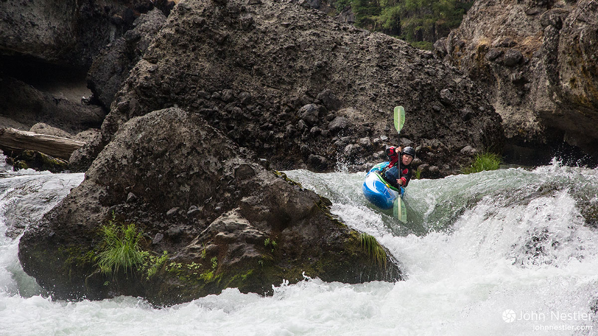
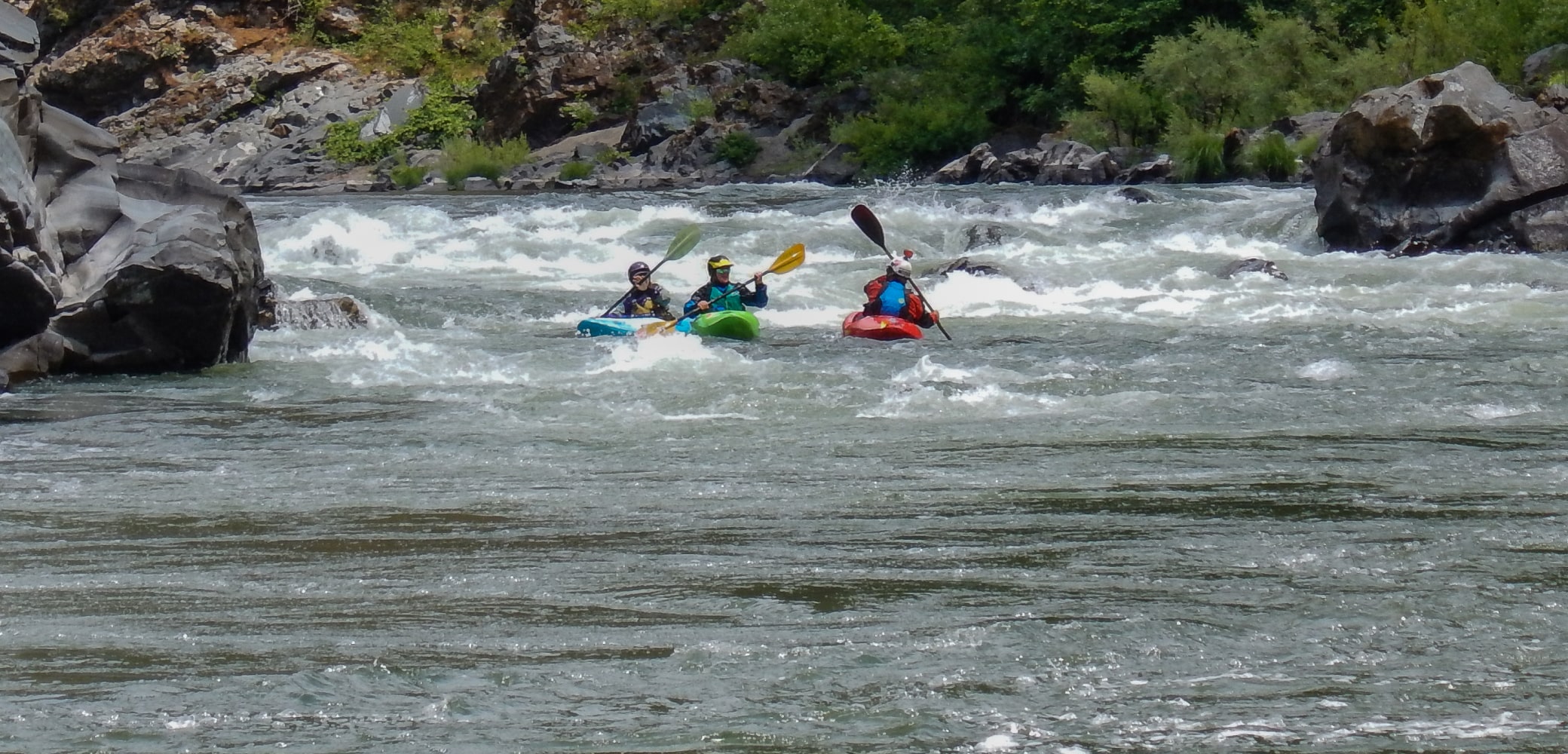
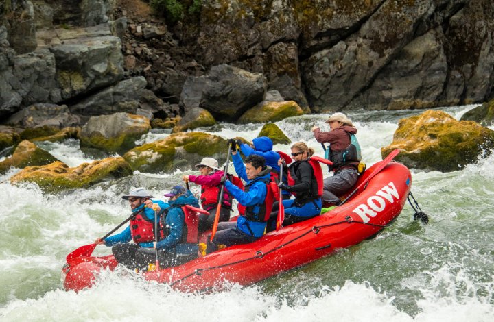
Class II
Length
30.9 mi
Gradient
13 ft/mi
Rapids
12
Access Points
Difficulty Classes
I Easy
II Novice
III Intermediate
IV Advanced
V Expert/Extreme
VI Unrunnable
Current Conditions
5-Day Forecast
Whitewater data from
American Whitewater
American Whitewater