Rapid
OR
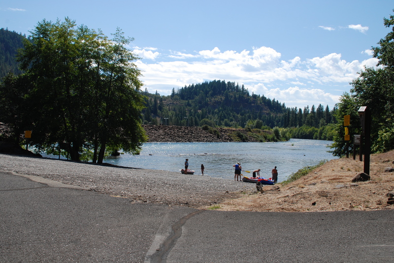
Dodge Bridge Access
Save this feature with the run it belongs to.
Gauge Conditions
Runnable: 1,000.0 – 3,000.0 CFS
Best boatable levels uncertain. Help us out! Add a comment or 'report'.
Data from American Whitewater & USGS
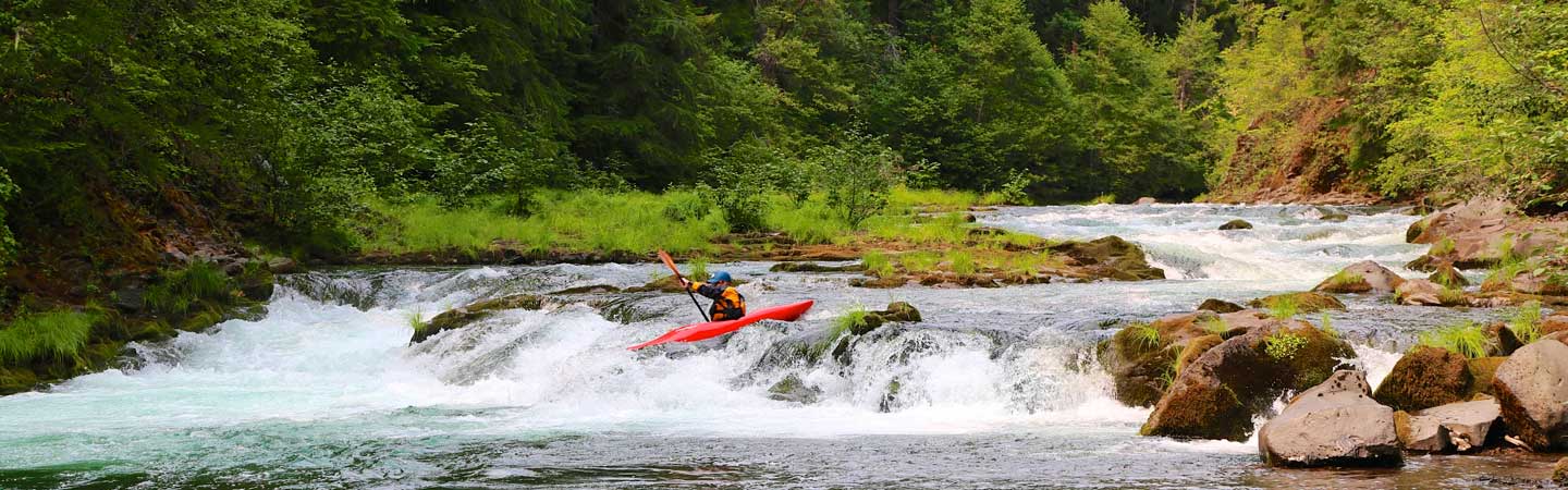
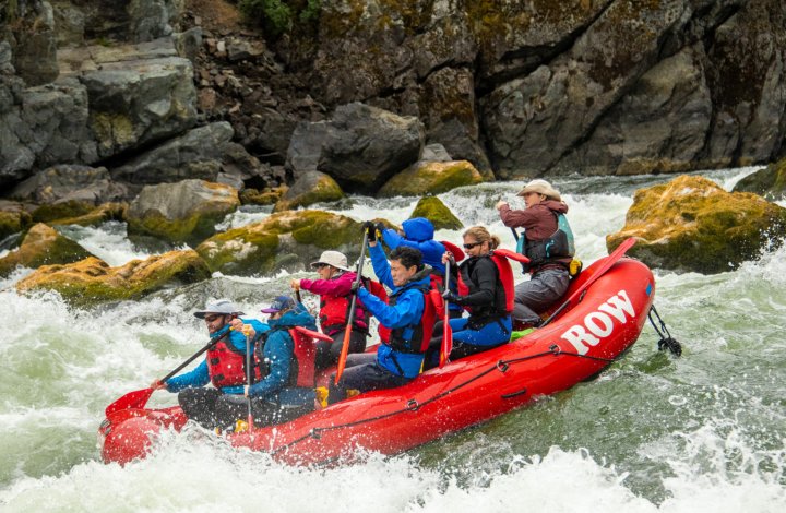
Photo
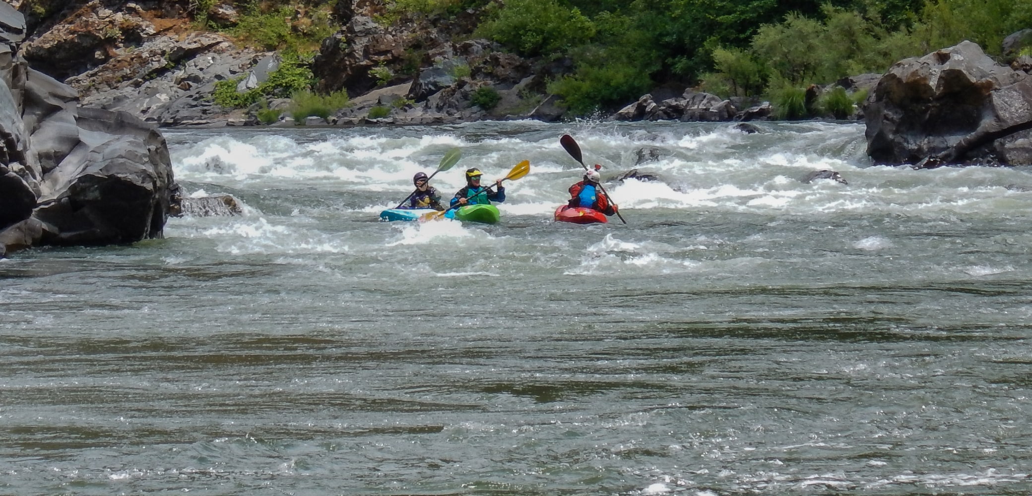
Photo courtesy of American Whitewater
Description
Dodge Bridge Access marks the put-in for the upper Rogue River section, offering paddlers a transition point from flat water to potential moving current. The access point provides a relatively straightforward entry with minimal immediate technical challenges, though river conditions can vary significantly depending on seasonal flow and water levels. Boaters should carefully scout current conditions and be prepared for potential debris or shifting navigational markers near the access point.
Location
Other Rapids on This Run (13)
 Rapid
N/A
Rapid
N/A
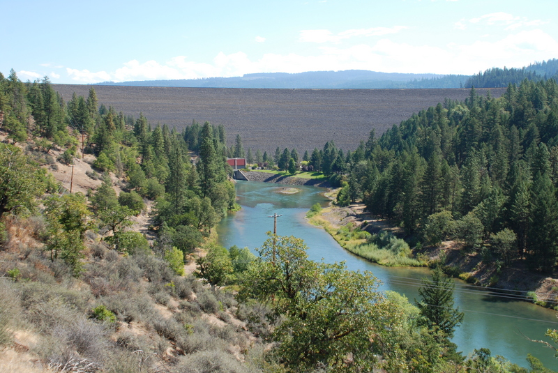
Lost Creek Dam
 Rapid
N/A
Rapid
N/A
McGregor Park Put-In
 Rapid
N/A
Rapid
N/A
Casey State Park Access
 Rapid
II-
Rapid
II-
marked "Rapids" #1
 Rapid
II-
Rapid
II-
marked "Rapids" #2
Rapid
N/A
Gage location
Rapid
N/A
Rogue Elk Park Access
 Rapid
I+
Rapid
I+
Trail Creek Riffle
 Rapid
N/A
Rapid
N/A
Upper Rogue Regional Park, Shady Cove
 Rapid
N/A
Rapid
N/A
Takelma Park Access
 Rapid
II-
Rapid
II-
Rattlesnake Rapids
Rapid
N/A
Table Rock Bridge Access
Rapid
N/A
Former Gold Ray Dam Site Take-Out
View Full Run
1. Lost Creek Reservoir to Gold Ray Dam (up to 31.6 miles)
Rogue
II
30.9 mi
Current Conditions
5-Day Forecast
Whitewater data from
American Whitewater
American Whitewater