1) Moore to Richland Creek Campground (6.2 miles) Wild
Gauge Conditions
Runnable: 3.0 – 6.0 FT
Data from American Whitewater & USGS
Run Map
Put-in
Take-out
Rapids/Hazards
Wild
Scenic
Description
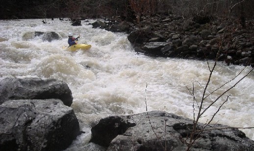
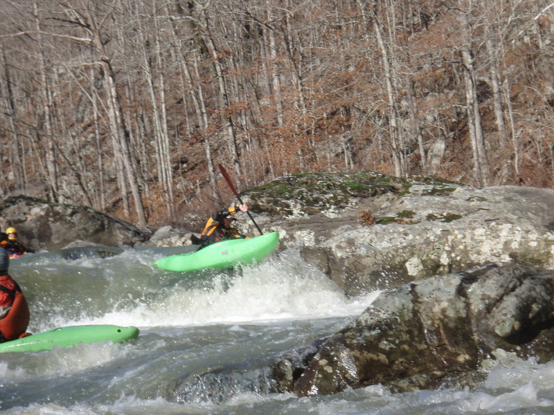
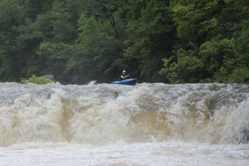
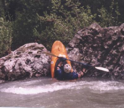
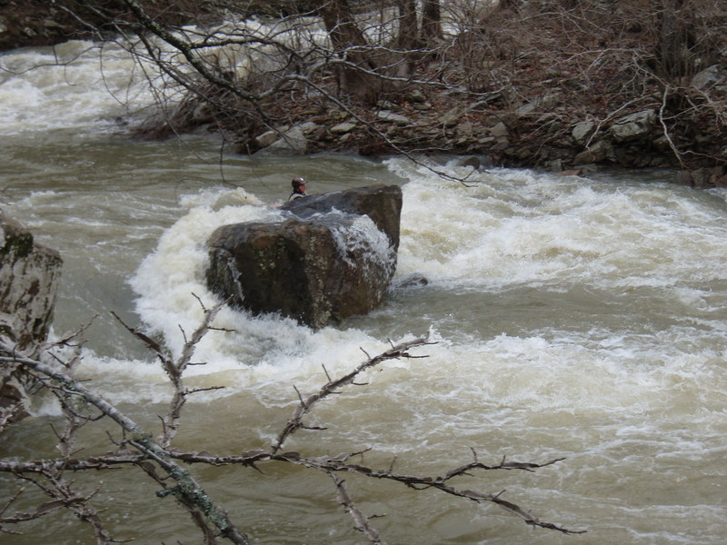
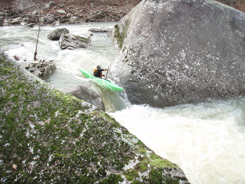
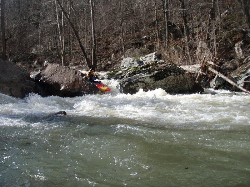
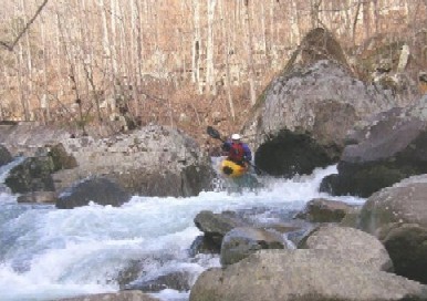
Richland Creek is one of the more impressive runs in Arkansas, not hair, but good class III/IV creekin'. A++ Scenery as 90% of the run is inside the Richland Creek Wilderness Area.
Typical hazards for a creek, undercuts, downed wood, strong hydraulics. Gradient by mile: 25, 35, 65, 75, 70, 65.
Put-in: Located by taking Newton County Road 5050 (FSR 1203) North for 4 miles at the community of Ben Hur on Hwy 16. A low water bridge and painted gauge referenced above and below are located here. Park on the North Side of the creek if possible and don't block the intersection. South side is private land. Ben Hur is about 9 miles East of of the Hwy 7/Hwy 16 intersection at Pelsor.
Take-out: Reached by continuing East on Hwy 16 from Ben Hur for 1.5 miles and turning onto Upper Falling Water Road (NFS 1205) and following to the NFS Richland Creek Campground. This road will parallel Falling Water Creek most of the way. This can also be reached by taking Falling Water Road farther East off Hwy 16.
!Richland Creek Map
More info and photos at:
Ozark Whitewater Page
Rapids in this Run (14)
Rapid
Drainage: ~23 square miles
Rapid
II
Warm up
Rapid
II
Big Bluff
Rapid
II+
Bedrock shoals
 Rapid
III
Rapid
III
Double ledge
Rapid
II+
Small Falls
Rapid
III+
Flume
 Rapid
III+
Rapid
III+
Knucklebuster
Rapid
III+
Devil's Fork Confluence
Rapid
III
Split Decision
 Rapid
IV
Rapid
IV
Upper Screw-Up - aka (Wingard's Right)
Rapid
III+
Maytag
Rapid
II+
USFS Richland Campground
Rapid
III+
Campground Rapid
Waterfalls (1)
Playspots (4)
Hazards & Portages (6)
Caution: The following locations may require scouting or portaging. Always check current conditions.
Difficulty
Class III-IV+
Length
6.2 mi
Gradient
55 ft/mi
max 80
Rapids
14
6 Hazards
Access Points
Shuttle Info
**Put-in:** Located by taking Newton County Road 5050 North for 4 miles at the community of Ben Hur on Hwy 16. A low water bridge and painted gauge referenced above and below are located here. Park on the North Side of the creek if possible, don't block the intersection. South side is private land. Ben Hur is about 9 miles East of of the Hwy 7/Hwy 16 intersection at Pelsor.
**Take-out:** Reached by continuing East on Hwy 16 from Ben Hur for 1.5 miles and turning onto Upper Falling Water Road (NFS 1205) and following to the NFS Richland Creek Campground. This road will parallel [Falling Water Creek](http://www.americanwhitewater.org/rivers/id/93/) most of the way. This can also be reached by taking Falling Water Road farther East off Hwy 16.
Difficulty Classes
I Easy
II Novice
III Intermediate
IV Advanced
V Expert/Extreme
VI Unrunnable
Current Conditions
5-Day Forecast
Whitewater data from
American Whitewater
American Whitewater