Devil's Fork Confluence
Save this feature with the run it belongs to.
Gauge Conditions
Data from American Whitewater & USGS
Description
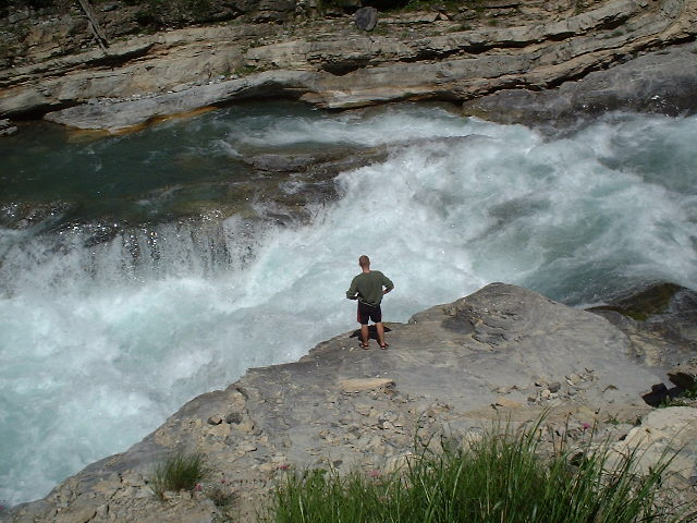
The Devil's Fork Creek enters on the left. Hike up 0.25 miles to see Twin Devil's Falls formed by the confluence of Long Devil's Creek and Big Devil's Creek. The rapid directly above the confluence holds pin potential and has an undercut on the far left. The rapid directly below the confluence can develop a couple of sticky holes at levels above 4.5 feet.
Location
Interactive river map
Loads as you approach this section.
Other Rapids on This Run (20)
Rapid
Moore Bridge
Rapid
N/A
Drainage: ~23 square miles
Rapid
II
Warm up
Rapid
II
Big Bluff
Rapid
II+
Bedrock shoals
Playspot
II
Lunch Counter Hole
 Rapid
III
Rapid
III
Double ledge
Rapid
II+
Small Falls
 Playspot
III
Playspot
III
Splat Rock
 Hazard
III+
Hazard
III+
Road Block - aka (Eddy Hop) - aka (Stolen Paddle)
 Hazard
IV
Hazard
IV
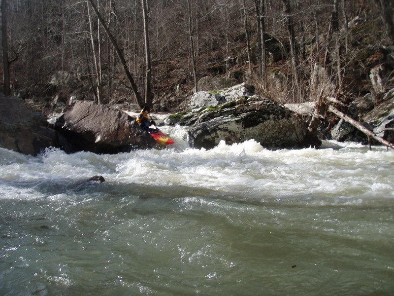
Crack-in-the-Rock
 Hazard
III+
Hazard
III+
Green Rock - aka (Second Crack)
Rapid
III+
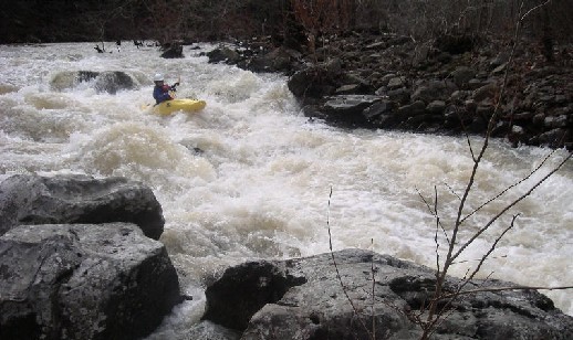
Flume
 Rapid
III+
Rapid
III+
Knucklebuster
 Playspot
II+
Playspot
II+
Richland Surf Wave
 Waterfall
III+
Waterfall
III+
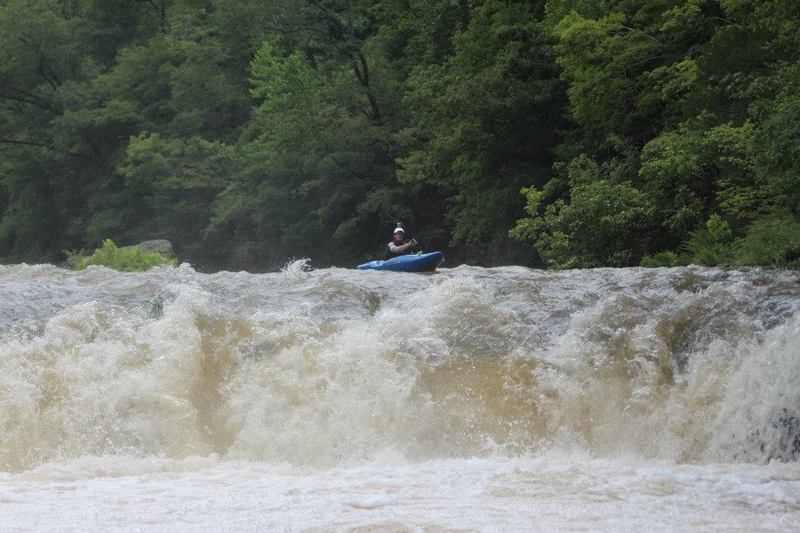
Richland Falls
Rapid
III
Split Decision
 Hazard
IV
Hazard
IV
Cindy's Hole - aka (Jaws) aka (Bill's Thrill)
 Hazard
III+
Hazard
III+
Apple Pie
 Rapid
IV
Rapid
IV
Upper Screw-Up - aka (Wingard's Right)
View Full Run
1) Moore to Richland Creek Campground (6.2 miles)
Richland Creek
III-IV+
6.2 mi
Current Conditions
5-Day Forecast
Whitewater data from
American Whitewater
American Whitewater