1. Route 1545 (Chicken Bridge) to US Route 15-501 (Bynum)
Gauge Conditions
Runnable: 200.0 – 10,000.0 CFS
Data from American Whitewater & USGS
Run Map
Interactive run map
Loads as you approach this section.
Description
Put-in:
The put-in for this section is on Chicken Bridge Road on river left. The put-in is about 100 yards down a small trail. The put-in itself is very treacherous and requires near vertical portage.
Take-out:
The take-out is right above the Bynum dam on river left. Parking is available off of US 15-501. This is also the put-in for the Middle Haw.
Description:
The Upper Haw is a nice section of river through rural Chatham County. This section is ideal for beginners, novices, and intermediate paddlers. Most rapids are boat scoutable. From the put-in there are small rapids providing opportunities to test skills. This section of river has many unnamed rapids. The larger rapids include Sawtooth Ledge, Little Nantahala and Final Solution.
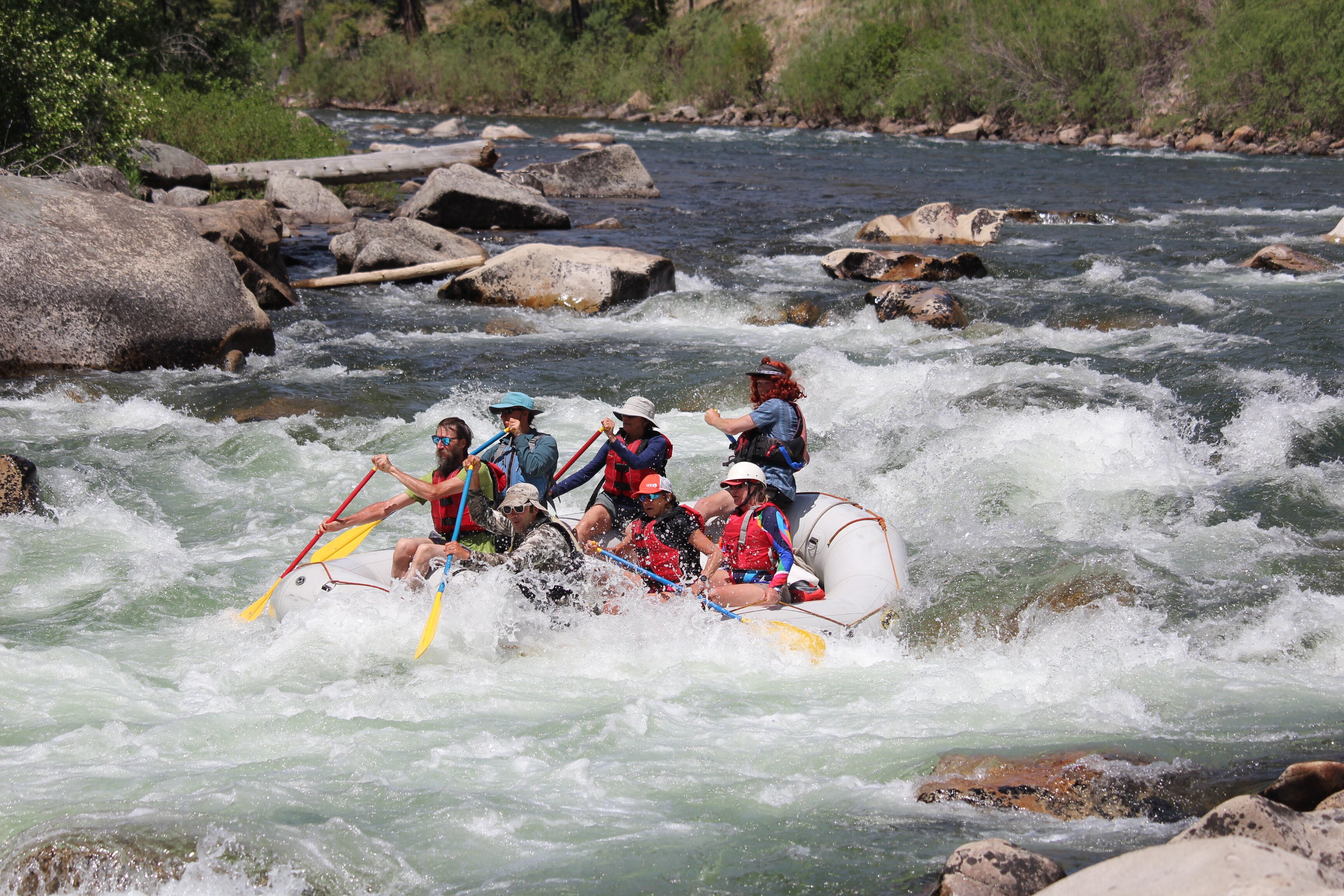
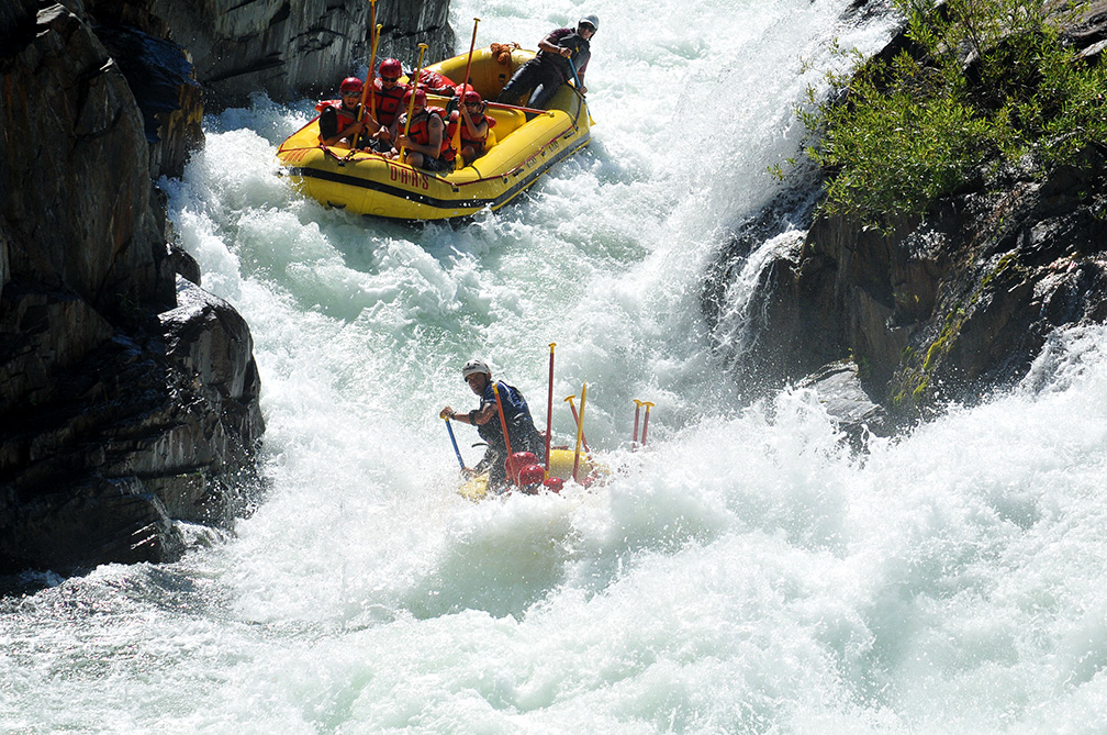
Rapids in this Run (2)
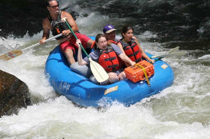
Playspots (2)
Difficulty
Class I-II(III)
Length
6.8 mi
Rapids
2
Access Points
Difficulty Classes
I Easy
II Novice
III Intermediate
IV Advanced
V Expert/Extreme
VI Unrunnable
Current Conditions
5-Day Forecast
Whitewater data from
American Whitewater
American Whitewater