Sawtooth Ledge
Save this feature with the run it belongs to.
Gauge Conditions
Data from American Whitewater & USGS
Photo
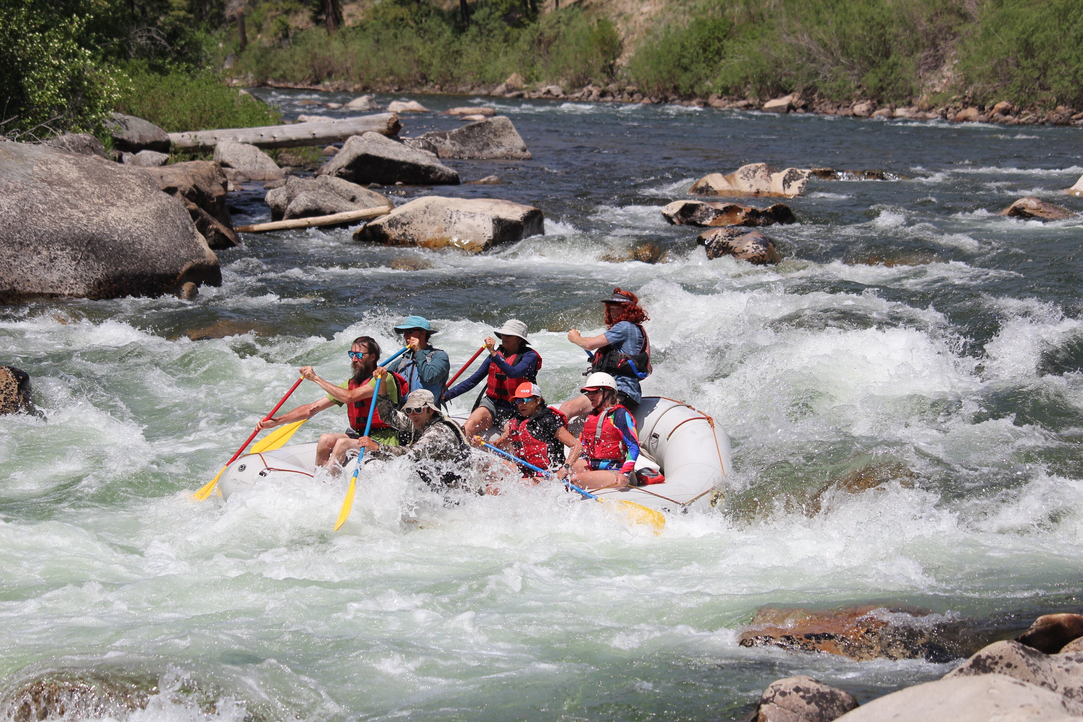
Photo courtesy of American Whitewater
Description
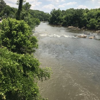
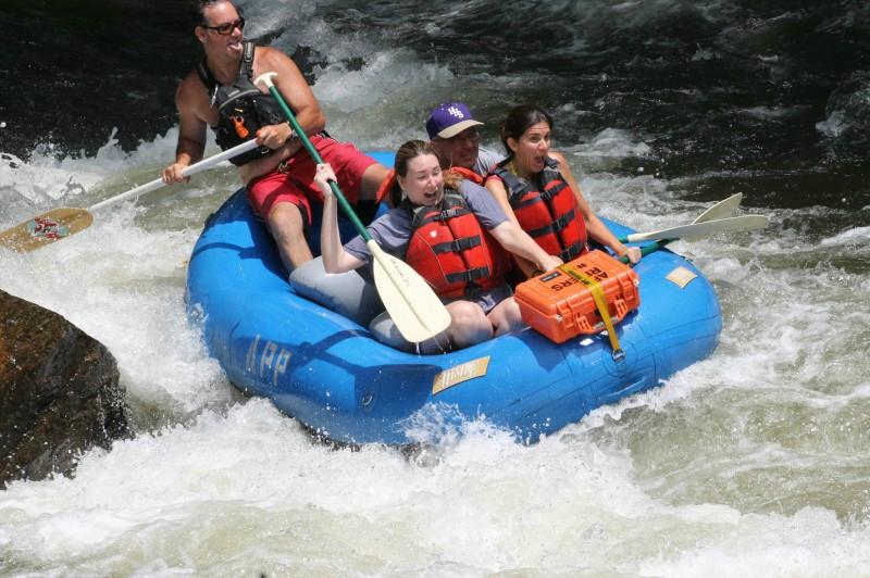
The first major rapid on this section of the Haw. There are rapids on either side of an island. On the left, there is a rocky Class I. On the right, there is a slighty more technical, but fun rapid named, Sawtooth Ledge (II). The rocks at the end of this rapid are sometimes hard to avoid. Photo shows what it looks like from the bottom of the rapid at ~1,200 cfs
Location
Interactive river map
Loads as you approach this section.
Other Rapids on This Run (5)

View Full Run
1. Route 1545 (Chicken Bridge) to US Route 15-501 (Bynum)
Haw
I-II(III)
6.8 mi
Current Conditions
5-Day Forecast
Whitewater data from
American Whitewater
American Whitewater