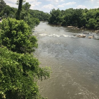
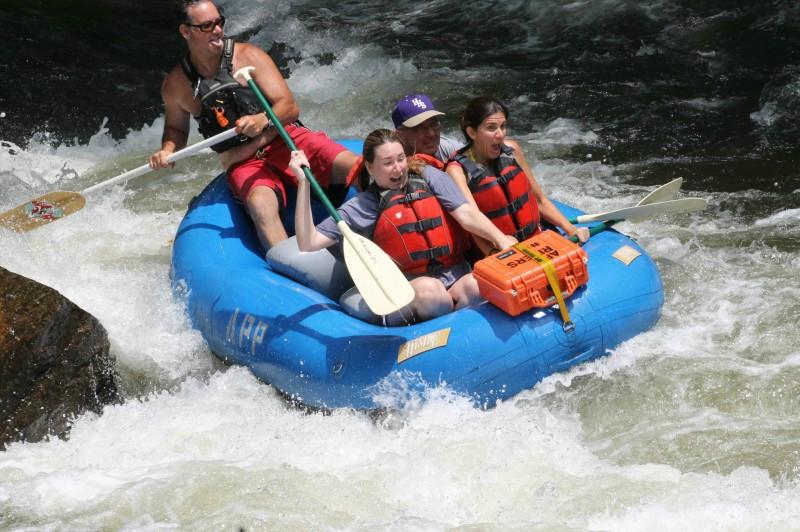
How's Your
River
×
Explore
Explore Map
Water Bodies
Gauges
Access Sites
Tidal Stations
Whitewater
Pricing
Login
Sign Up
Hazard Warning:
Hazard information may be user-submitted and unverified. Conditions change frequently. Always scout rapids and obstacles yourself.
Whitewater
North Carolina
Haw - 1. Route 1545 (Chicken Bridge) to US Route 15-501 (Bynum)
Bynum Dam
Hazard
NC
Bynum Dam
Haw - 1. Route 1545 (Chicken Bridge) to US Route 15-501 (Bynum) (NC)
Monitor this Rapid
Water Body
This Run
Map
Other Rapids
Gauge
Weather
Directions
Gauge Conditions
Haw River near Bynum, NC
Downstream
Primary
Runnable: 200.0 – 10,000.0 CFS
Data from
American Whitewater
&
USGS
Photo
Photo courtesy of
American Whitewater
Description
Take-out for the Upper Haw. Portage around the dam on river left. Running this dam, like all dams, is not recommended.
Location
Radar
Counties
Cell
Verizon
AT&T
T-Mobile
Dark
Satellite
Terrain
Other Rapids on This Run (5)
Rapid
N/A
Put In
0.0 mi
Rapid
II
Sawtooth Ledge
1.9 mi
Playspot
I
Lunchstop (Upper Haw)
2.8 mi
Playspot
II
Little Nantahala
3.8 mi
Rapid
II
Final Solution
4.8 mi
Type
Hazard
Mile Marker
6.7 mi
Directions
Navigate
View Full Run
1. Route 1545 (Chicken Bridge) to US Route 15-501 (Bynum)
Haw
I-II(III)
6.8 mi
Hazard
— Exercise extreme caution in this area.
Current Conditions
5-Day Forecast
Whitewater data from
American Whitewater
Bynum Dam