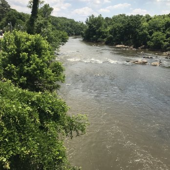
Put-in
NC
Put In
Save this feature with the run it belongs to.
Gauge Conditions
Data from American Whitewater & USGS
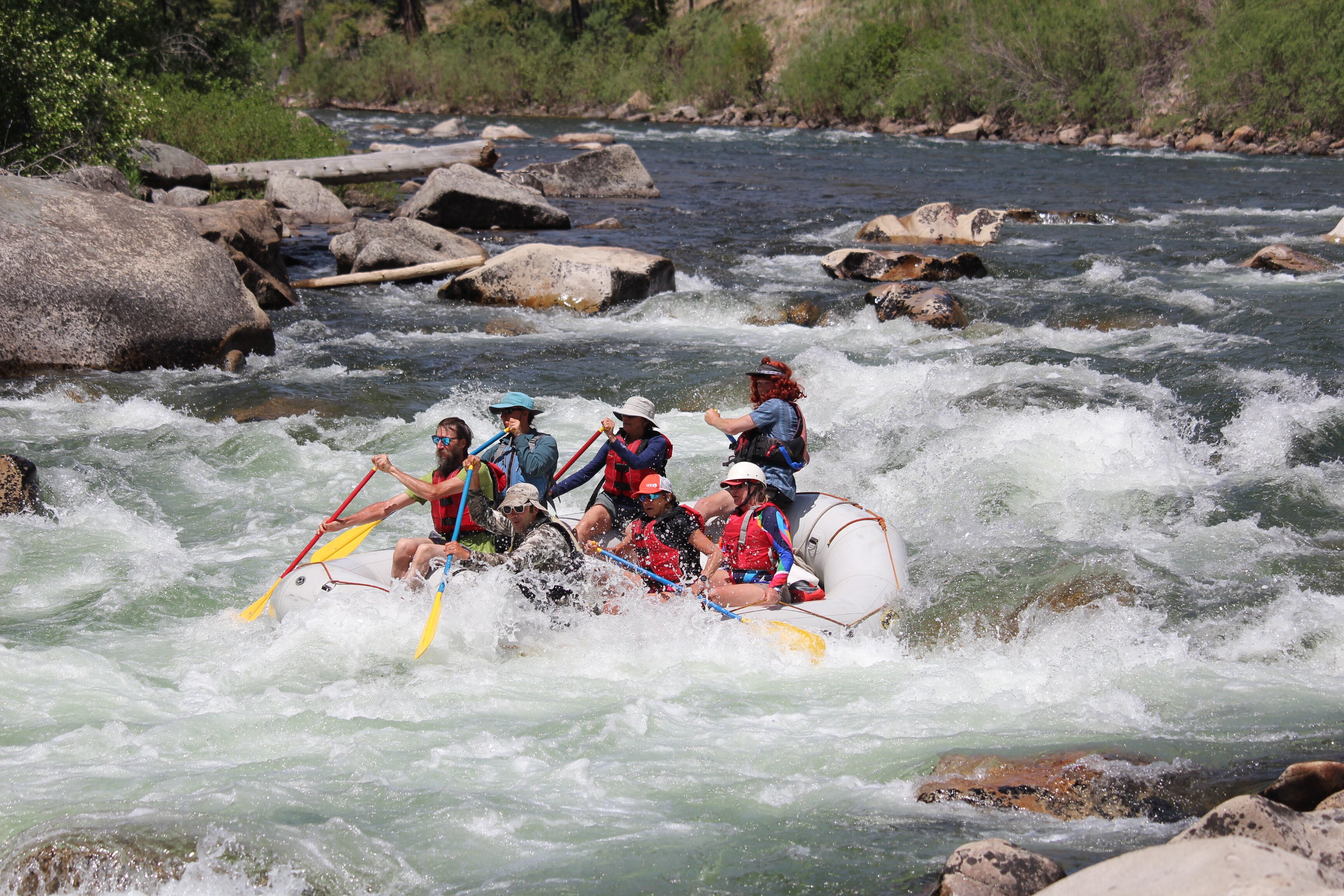
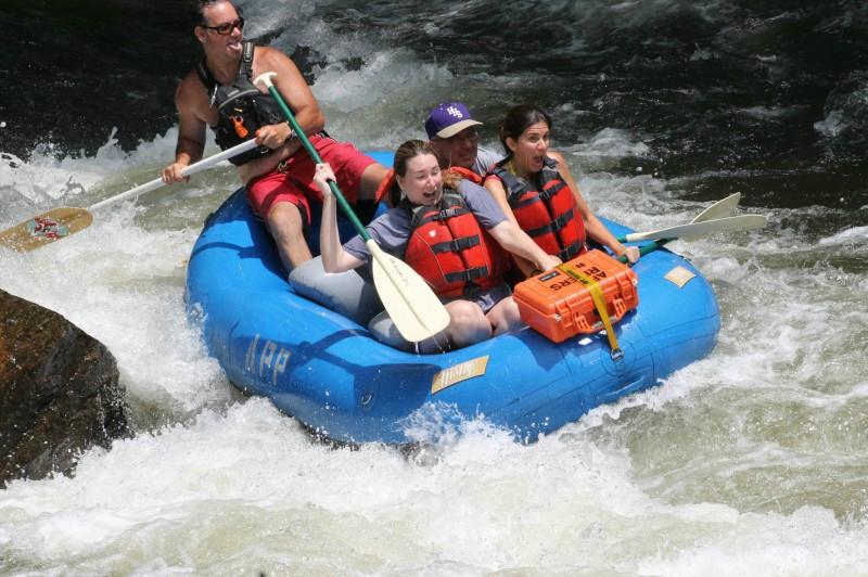
Photo
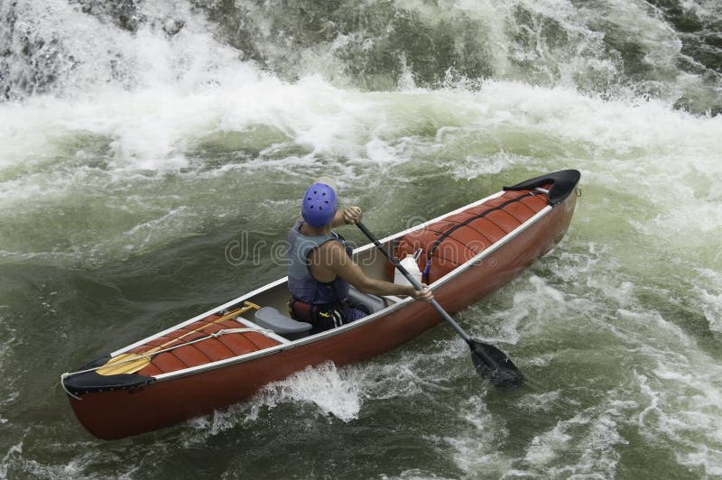
Photo courtesy of American Whitewater
Description
This is the old path to the put in launch, obstructed by no less than 7 trees down, thanks to Chantal July 2025. Now, I would turn right before this mess, to take the path under the bridge towards the swimming hole, which is not without obstacles, but a fairly decent alternative to the old launch. Note that there is not a very good cell signal here at all and the usual route that is taken to set shuttle at the dam (River road to Hamlets Chapel to Moore Mountain to 15-501) is detoured due to multiple road washouts, so plan to drive across the bridge and take Old Graham to Russel Chapel to 15-501 (all lefts) to get to the take out to set shuttle.
Location
Interactive river map
Loads as you approach this section.
Other Rapids on This Run (5)


View Full Run
1. Route 1545 (Chicken Bridge) to US Route 15-501 (Bynum)
Haw
I-II(III)
6.8 mi
Current Conditions
5-Day Forecast
Whitewater data from
American Whitewater
American Whitewater