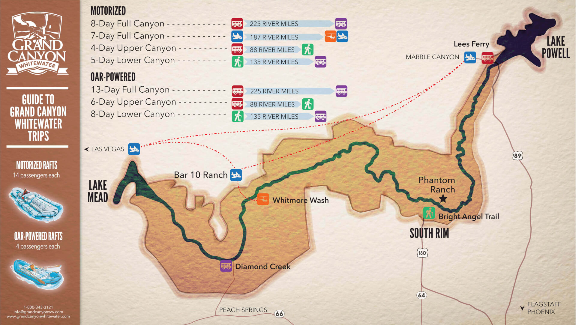
2. Colorado Canyon: Rancherias Canyon to Lajitas (21 miles)
Gauge Conditions
Runnable: 200.0 – 10,000.0 CFS
Level is too low for reasonable whitewater experience.
Data from American Whitewater & USGS
Run Map
Run Time Estimate
Select put-in and take-out to estimate time.
Plan This Trip
See wind-adjusted speed maps, forecast planning, and detailed time estimates.
Sign in to generate an AI timing estimate for this run.
Whitewater timing varies with scouting, portages, and group pace. Use as a planning baseline.
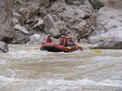
Description
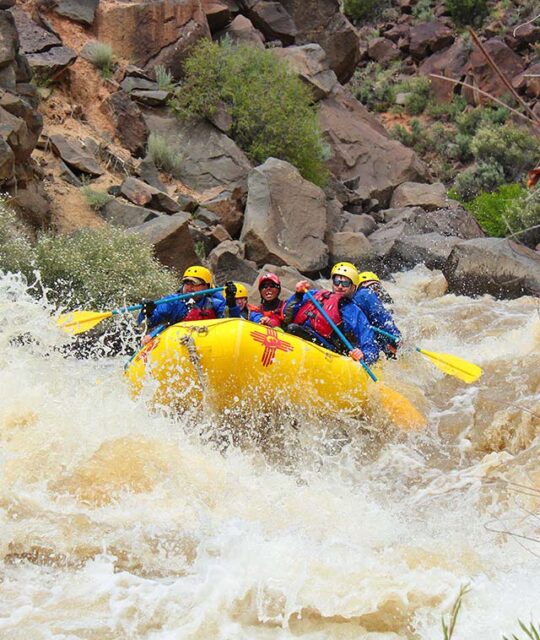
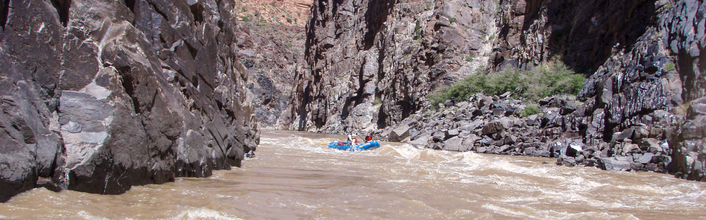
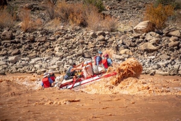
Like all of the canyons of the Rio Grande, Colorado Canyon and Dark Canyon are incredibly scenic. Because this section of the river has good access (via FM 170, which follows the river for most of the route), it is popular for day trips. This section is beginner-friendly at low levels (< 1000 cfs), and rafts can run it down to about 200 cfs without much difficulty. Lower levels than that require a hard boat. This section gets pushy at high levels (thousands of cfs) but doesn't really get any more technically difficult, and many of the named rapids wash out at high levels. It is not generally runnable below 100 cfs.
Many of the named rapids may require some maneuvering by canoeists, particularly when the river is relatively low and channelized. However, whitewater paddlers will probably find them to be straightforward.
All of the river access points are on river left (Texas side.)
This section is entirely within _Big Bend Ranch State Park_ and requires a permit obtainable in Lajitas or at Fort Leaton. The state and national parks require anyone on a river trip to wear their PFD's through named rapids.
NOTE: There is a high incidence of vehicle theft along the Mexican border. For this reason, and simply because it makes the trip logistics much easier, many paddlers choose to pay one of the river outfitters in Terlingua to run shuttle for them.
Distances and gradient measured using GIS tools in 2015.
Rapids in this Run (17)
Rapid
II
Rancherias Rapid
Rapid
II
Closed Canyon Rapid
Rapid
II
Thread the Needle Rapid
Rapid
II
Quarter Mile Rapid
 Rapid
Rapid
End of Colorado Canyon
Rapid
II
Panther Creek Rapid
 Rapid
Rapid
La Cuesta River Access
 Rapid
Rapid
Dark Canyon Entrance
Rapid
Dom Rock
 Rapid
Rapid
End of Dark Canyon
Rapid
Tee Pee Picnic Area
Rapid
Madera Canyon River Access
Rapid
II
Ledge Rock Rapid
Rapid
Grassy Banks River Access
Rapid
II
Fresno Creek Rapid
 Rapid
II
Rapid
II
Contrabando Creek Rapid
Rapid
Contrabando Movie Set
Difficulty
Class II+
Length
21.2 mi
Gradient
6 ft/mi
Rapids
17
Access Points
Shuttle Info
Use Hwy 170.
Difficulty Classes
I Easy
II Novice
III Intermediate
IV Advanced
V Expert/Extreme
VI Unrunnable
Current Conditions
5-Day Forecast
Whitewater data from
American Whitewater
American Whitewater