Rapid
TX
End of Colorado Canyon
Save this feature with the run it belongs to.
Gauge Conditions
Runnable: 200.0 – 10,000.0 CFS
Level is too low for reasonable whitewater experience.
Data from American Whitewater & USGS
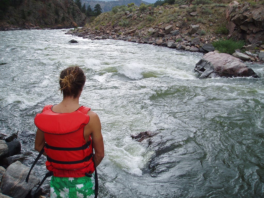
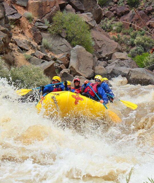
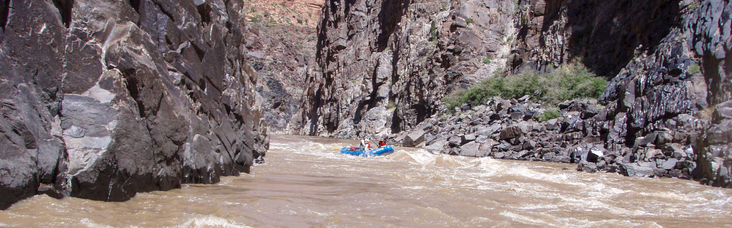
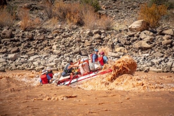
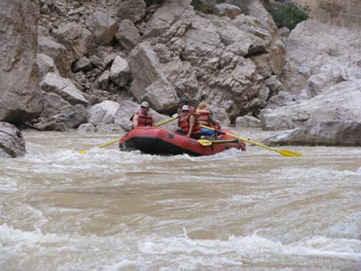
Photo
Photo courtesy of American Whitewater
Description
At the end of Colorado Canyon, this rapid marks the transition from the confined canyon to the more open landscape near Lajitas. While specific technical details are limited, the rapid serves as a significant reference point for navigating this section of the Rio Grande, potentially indicating a change in river characteristics or requiring careful navigation through potential hydraulic features.
Location
Other Rapids on This Run (18)
 Rapid
N/A
Rapid
N/A
Colorado Canyon River Access
Rapid
II
Rancherias Rapid
Rapid
II
Closed Canyon Rapid
Rapid
II
Thread the Needle Rapid
Rapid
II
Quarter Mile Rapid
Rapid
II
Panther Creek Rapid
 Rapid
N/A
Rapid
N/A
La Cuesta River Access
 Rapid
N/A
Rapid
N/A
Dark Canyon Entrance
Rapid
N/A
Dom Rock
 Rapid
N/A
Rapid
N/A
End of Dark Canyon
Rapid
N/A
Tee Pee Picnic Area
Rapid
N/A
Madera Canyon River Access
Rapid
II
Ledge Rock Rapid
Rapid
N/A
Grassy Banks River Access
Rapid
II
Fresno Creek Rapid
 Rapid
II
Rapid
II
Contrabando Creek Rapid
Rapid
N/A
Contrabando Movie Set
Rapid
N/A
Lajitas River Access
View Full Run
2. Colorado Canyon: Rancherias Canyon to Lajitas (21 miles)
Rio Grande
II+
21.2 mi
Current Conditions
5-Day Forecast
Whitewater data from
American Whitewater
American Whitewater