2. Garnet Dike Campground to Kirch Flat Campground Wild
Gauge Conditions
Runnable: ? – ? CFS
Approximate reading: This gauge is 22.6 miles away on Kings. Use as a general reference only.
Data from American Whitewater & USGS
CDEC Flow Data California
Data from California Data Exchange Center (CDEC)
Run Map
Put-in
Take-out
Rapids/Hazards
Wild
Run Time Estimate
Select put-in and take-out to estimate time.
Plan This Trip
See wind-adjusted speed maps, forecast planning, and detailed time estimates.
Sign in to generate an AI timing estimate for this run.
Whitewater timing varies with scouting, portages, and group pace. Use as a planning baseline.
Description
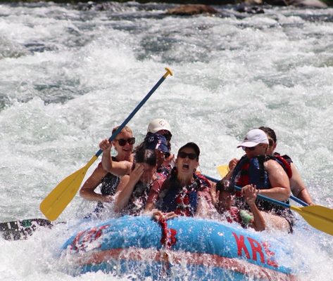
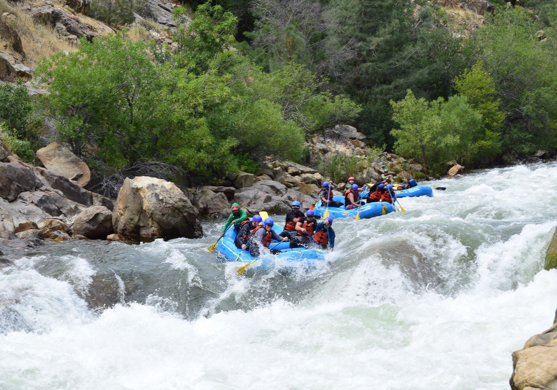
The 'Banzai' run on the Kings is big, wide, and usually very forgiving. There are no permits needed, no fees for camping or launching, and not much traffic on most days. Weekdays you might have the river to yourself. Peak use tends to be on Memorial weekend and the week or two before and after when the river is mobbed, traffic on the one lane dirt road is heavy and every flat spot in the area has somebody camping on it.
Getting there: From Fresno, drive east on Belmont Avenue which eventually turns into Trimmer Springs Road. Stay on Trimmer Springs Rd all the long tedious way around Pine Flat Reservoir to Kirch Flat Campgrounds. Going through Fresno from freeway 99, take freeway 180 east till it turns into Kings Canyon Avenue. You can stay on 180 till it crosses the river, then you must take Piedra Road north to Trimmer Springs Road.
Fresno locals sometimes go up Highway 168 to Sample rd, to Pitman hill rd. to Watts Valley Rd. to Maxon Rd to Trimmer Springs rd. Study a map.
Coming from the south up Freeway 99, take cutoffs through Dinuba or through Kingsburg to reach Pine Flat Lake.
Note that there is no gasoline available near the river. There may be gas at some of the marinas on the lake, but otherwise the closest gas will be near Sanger or at highway 180 and Acadamy Ave. If coming from the north, last chance is in Clovis or a detour south to Shaw and Acadamy.
Take Out: Drive into Kirch Flat Campground and turn right to a parking area. Leave cars in the parking area. A spur road leads down to a loading area close to the river.
Put In: From Kirch Flat Campground, continue driving east on Trimmer Springs Road. Cross the concrete bridge to the south side of the river. Drive a mile and cross the steel bridge back to the north side of the river. Turn right onto a dirt road and travel 7 or 8 dusty, bumpy miles to Garnet Dike. There is an unloading area close to the river and parking nearby. It is also very common to launch a mile downstream at Hermits Hollow to avoid Banzai rapid. There are numerous alternate launch points along the dirt road which provide shorter runs and shorter shuttles.
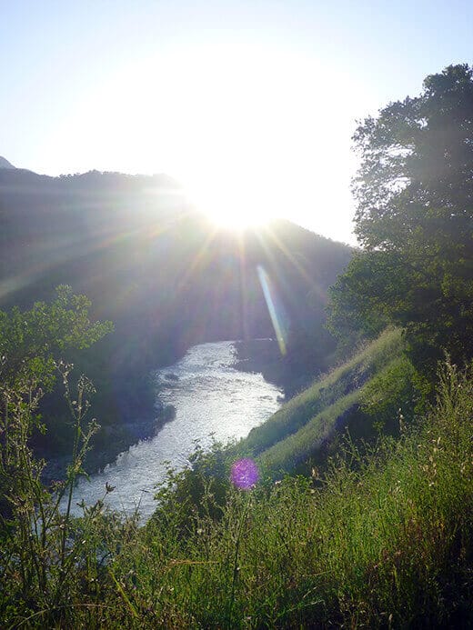
Season: The Kings is boatable starting in winter after several decent size storms. Kayakers can often boat it for most of the winter. Flows are usually dependable by February and definitely by March. In drought years flows taper off by the end of June. In statistically average years, flows last to mid or late July. In wet years decent flows last into August. Summer thunderstorms can occasionally bring flows back up for a few days even in August or September.
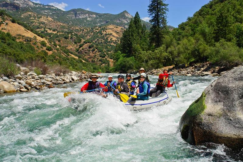
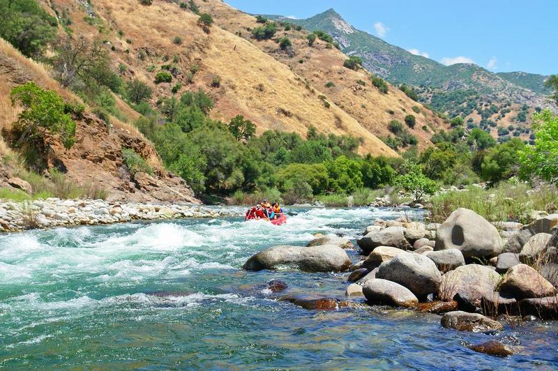
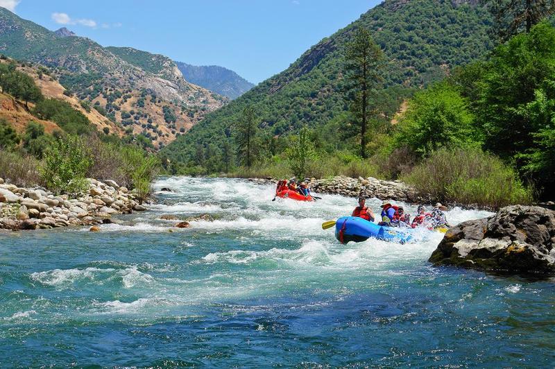
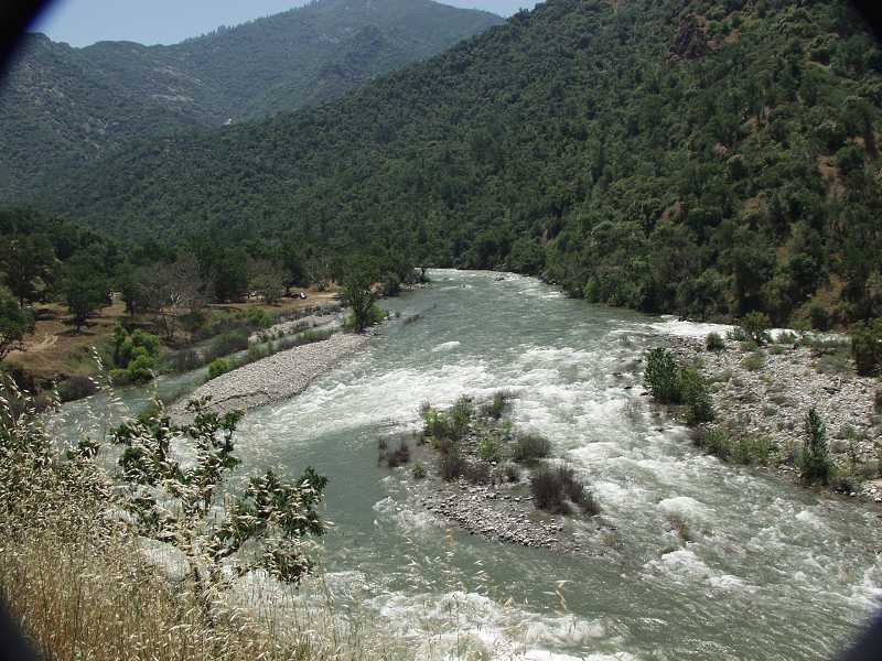
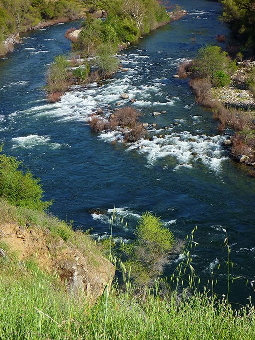
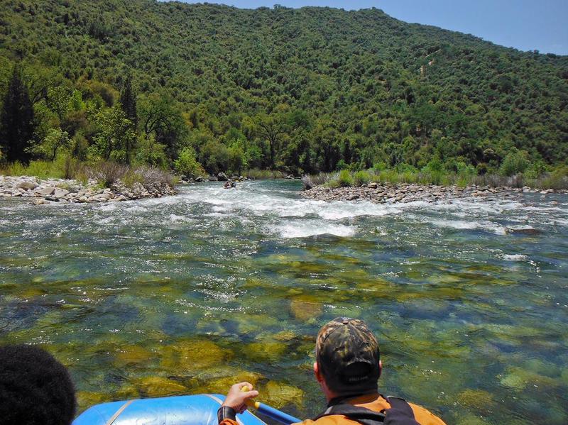
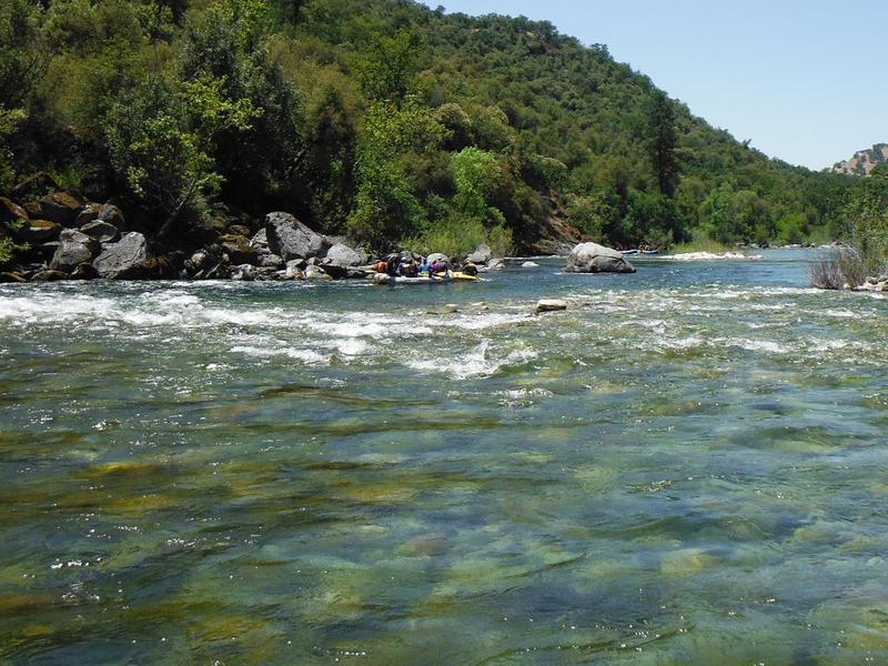
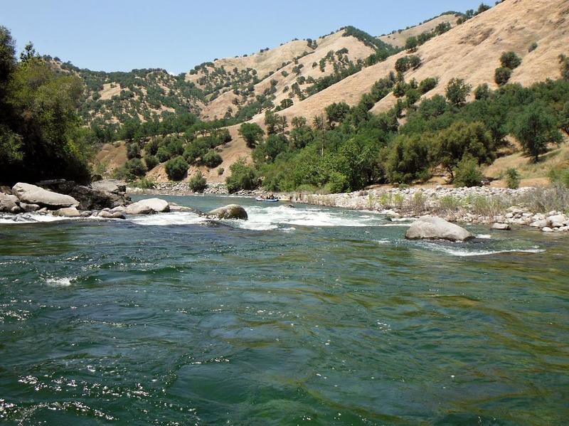
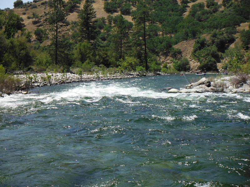
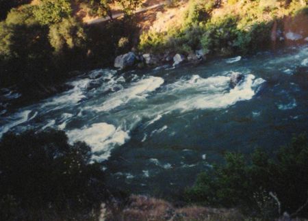
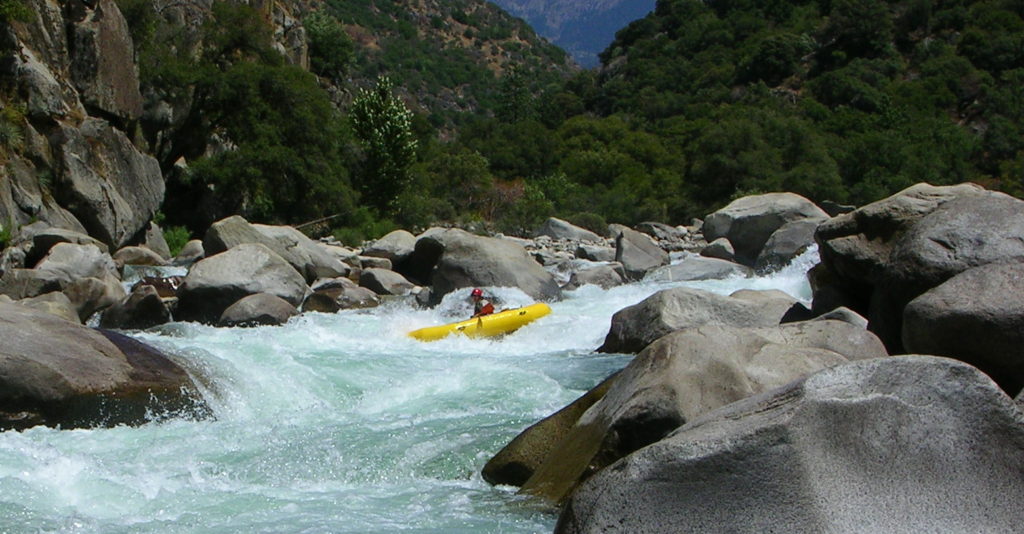
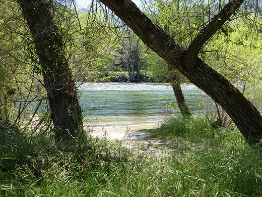
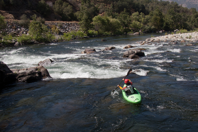
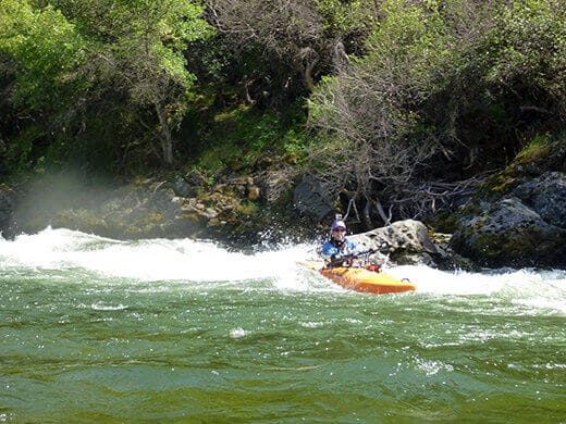
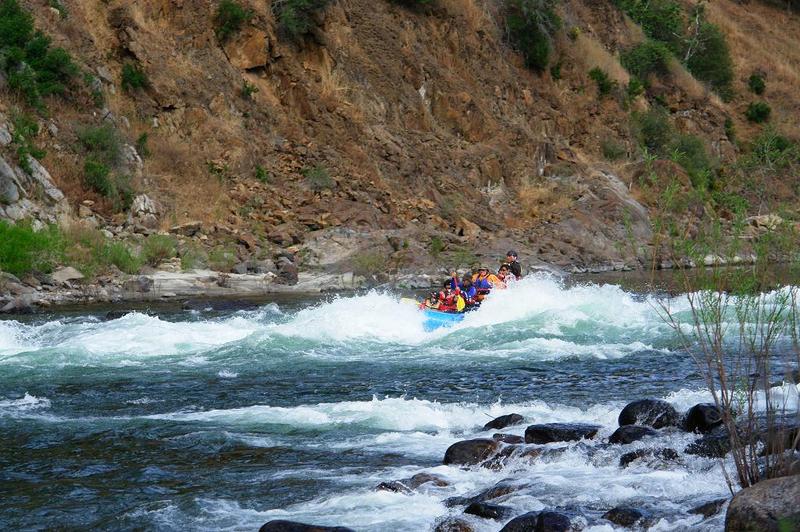
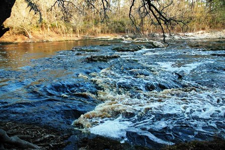
Character: Big, wide, with mostly long gravel bar rapids. The few boulders here and there are notable and often have names. Most of the run can be seen and scouted from the shuttle road.
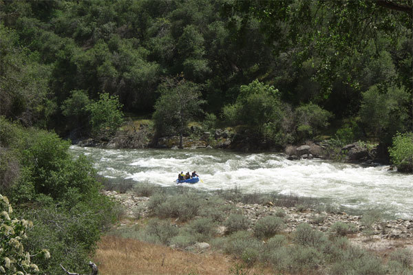
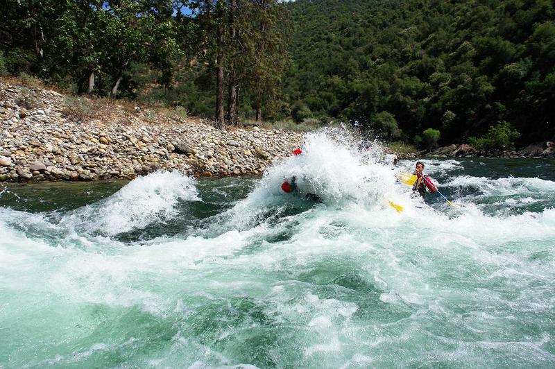
Play Spots: Since this is a natural flow river, it changes level from day to day and from hour to hour. The river channel has changed steadily from year to year. You need to search and experiment with different spots. Many of the best surfing waves are in the middle of rapids and are one shot affairs. Boaters who can catch their play spots on the fly will have a blast, especially at medium to high flows. There are strong eddylines throughout the reach so modern playboats have no shortage of entertaining locations. Locals often just boat short sections of the river before exhaustion sets in.
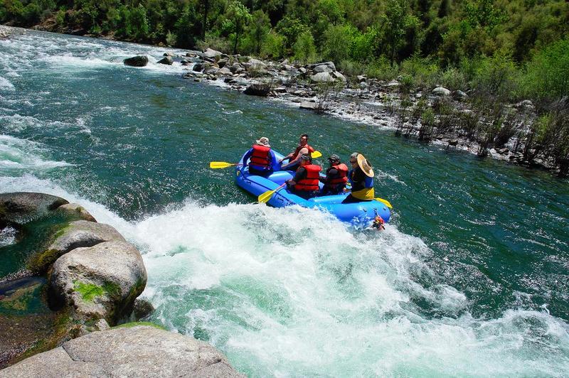
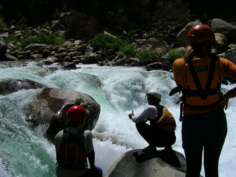
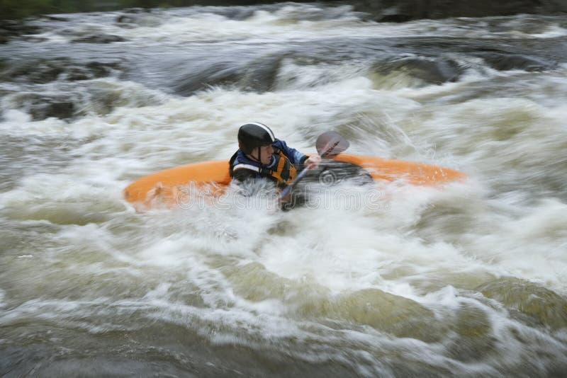
Hazards: At low and moderate flows this seems to be a very safe section for river runners. However, at high flows the rapids become very long and the river spreads out into trees and brush along the sides. Boaters should expect a 1+ increase in class above 10,000 cfs and again above 20,000 cfs. Serious holes develop at unexpected places. Mule Hole is a famous hole near the middle of the run, which develops at moderate to high flows and hides in the tail waves of an easy rapid. Mule hole is not hard to avoid, but it takes many boaters by surprise. Another low wide rock sticks out of the pool between Wild Wolf, the first rapid below Garnet Dike and Banzai, the second rapid. This rock forms a huge hole and becomes a frequent raft flipper once flows rise to cover it. Boaters excited by Wild Wolf and thinking ahead to Banzai drift into this big, wide hole, flip and end up swimming Banzai and further. There have been a few deaths of rafters at very high flows from flush drownings/hypothermia and from entrapment in brushy side channels. It is difficult to rescue swimmers at very high flows when it only takes 45 minutes to flush from the put-in to the lake.
Other Information:
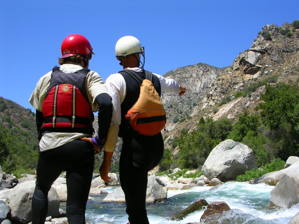
Local boaters and the commercial outfitters tend to be very friendly and helpful at the Kings. Ask questions and get advice on flows, where to camp and where to run the rapids. If you are single boater or a single raft crew, team up with other boaters for safety, especially at high flows. Don't be shy.
Cell phone reception is good for most phones at Cottonwood Ridge, the high point on the way in, but is non available past that point. Emergency phone calls can be made from PG&E offices in Balch Camp. PG&E also makes available the large parking area by the Whitewater Voyages and Zypher camps. Sierra Nat Forrest rangers regularly patrol the area. Fresno County Sheriff officers also patrol at times. Any rescues are usually performed by the Sheriff's department if not handled by boaters on the scene.
Wild & Scenic River Status:
Most of this section of the Kings is protected in the Kings River Special Management Area, as if it was part of the Wild & Scenic Rivers system. Although from the Bailey Bridge downstream to the reservoir the river is not protected as a concession to the KRCD in case they choose to raise Pine Flat Dam in the future.
Paul Martzen, 2005
Fresno
Cassady & Calhoun, Holbek & Stanley, Martin, Penny
Local Clubs:
For more information on this and other local paddling areas, please feel free to contact these local clubs: NEW Kayak Club, Gold Country Paddlers, California Floaters Society, SJPaddlers.
Online:
You can get more information from California's Whitewater Community at boof.com.
Other Information sources:
Cacreeks.com
KRCD is the local entity which contracts with the US government for irrigation water and then provides that water to individual irrigation districts, such as Fresno Irrigation.
Friends of the South Fork Kings
Land Stewardship Council: PG&E lands proposa l
This research paper describes and discusses the astounding California flood of 1862. This flood was so big that the entire central valley was flooded and became a lake/river 300 miles long by 40 to 60 miles wide. Part of the problem was caused by hydraulic mining which released so much debri that the river beds in the valley were raised abnormally high. But the main cause was simply the incredible amount of rain and snow; such as 72 inches of rain in two months at Sonora. It seems possible that such volumes of water could far exceed the capacity of our present reservoirs and of any additional reservoir that men could build. One implication is that our flood control systems can decrease the frequency of floods by controlling the little and medium sized floods, but that there can be unimaginably big floods that will periodically overtop our dams and levees as if they were not even there.
The names of the rapids in the Rapids tab are from the original YMCA Kings River Expeditions in the early 1970s.
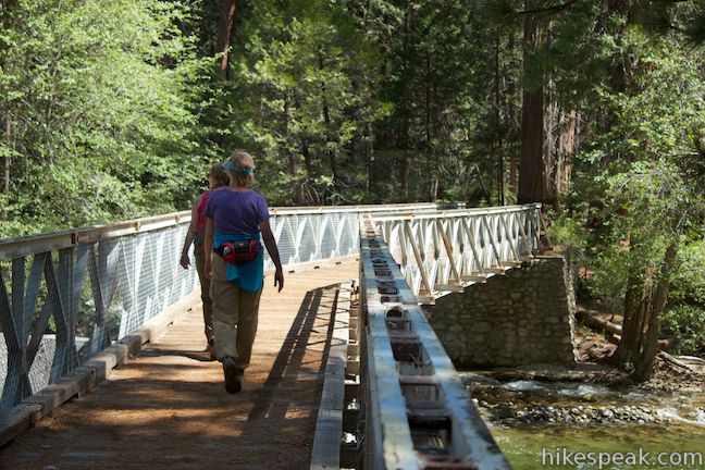
Hiking Trails:
There are a number of interesting hiking trails in the area.
The Kings River National Recreation Trail starts at Garnet Dike and follows the river upstream 3 miles to Spring Creek, then steadily climbs another 2.5 miles to Garlic Spur and Garlic Falls. As of 2022, the trail is in excellent condition thanks to the Mountain Warriors volunteer trail crew. The view from Garlic Spur is spectacular with upstream views of the Kings River Gorge between Rough Creek and Garlic Creek, as well as views back downstream. Once past Spring Creek, the trail is on open, south facing slopes and can be very hot.
The Bear Wallow Trail is marked by signs about half way up the shuttle road to Garnet Dike. This trail was a traditional pathway for Native Americans between the Kings River and the higher Sierra. It offers lovely views of the river and canyon.
South Side Trail starts at the Mill Flat Campgrounds and follows the river upstream. (I don't know how far it goes or what its actual name is, but it is a pretty nice trail as far as I have taken it.) The Mill Flat Creek Road is a popular hike for those taking a break at the mouth of Mill Flat Creek. People walk up the road to access the nice swimming holes along the creek.
Several PG&E access roads offer interesting hiking near Kirch Flat. They climb high up the hill to access either power towers or the top of a penstock. They offer nice views of the canyon and surrounding hills. There is little shade, so these are nicest when it is cool.
Rapids in this Run (33)
 Rapid
III
Rapid
III
Wild Wolf Chute
 Rapid
II+
Rapid
II+
Upper Skunk Pit
 Rapid
III
Rapid
III
Hermits Rapid
 Rapid
Rapid
Hermit's Put-in
 Rapid
III
Rapid
III
Bump City
 Rapid
II
Rapid
II
Coyote Joe's Rapid
 Rapid
II
Rapid
II
Pipeline
 Rapid
II
Rapid
II
Widow Maker Rock
 Rapid
III+
Rapid
III+
Tail Twister Rapid & Raft Ripper Rock
 Rapid
III
Rapid
III
Mule Tail & Mule Rock
 Rapid
II+
Rapid
II+
Racoon Gulch
 Rapid
Rapid
Bay Horse Flats
 Rapid
II
Rapid
II
Rattlesnake Rapid
 Rapid
III+
Rapid
III+
Fangtooth
 Rapid
II+
Rapid
II+
Badger Bend
 Rapid
I
Rapid
I
Rock Weir
 Rapid
Rapid
Mill Flat Creek
 Rapid
Rapid
Lizard Lip
 Rapid
Rapid
The Judge
 Rapid
Rapid
Green Cabin Campground
 Rapid
I
Rapid
I
Grizzley Bar
 Rapid
Rapid
Gravel Flats
 Rapid
II
Rapid
II
Gravel Flats Rapid & Devils Staircase Rapid
 Rapid
Rapid
Mojo's Hole & Wave Train
 Rapid
III+
Rapid
III+
Crazy Horse Bend Rapid
 Rapid
Rapid
The Curl
 Rapid
Rapid
Bailey Bridge
 Rapid
II
Rapid
II
North Fork Rapid
 Rapid
III
Rapid
III
Sidewinder Rapid
 Rapid
I
Rapid
I
The Narrows
 Rapid
III+
Rapid
III+
Rooster Tail Rapid
 Rapid
Rapid
Concrete Bridge
 Rapid
II+
Rapid
II+
River Rat Rapid
Playspots (3)
Hazards & Portages (2)
Caution: The following locations may require scouting or portaging. Always check current conditions.

Difficulty
Class III
Length
9.2 mi
Gradient
30 ft/mi
max 40
Rapids
33
2 Hazards
Access Points
Shuttle Info
The map below now shows the correct route on the road next to the river.
From Kirch Flat to the put in, continue driving east on Trimmer Springs Road. Cross the concrete bridge to the south side of the river. Drive a mile and cross the steel bridge back to the north side of the river. Turn right onto a dirt road and travel 7 or 8 dusty bumpy miles to Garnet Dike. There is an unloading area close to the river and parking nearby. It is also very common to launch a mile downstream at Hermits Hollow to avoid Banzai rapid. There are numerous alternate launch points along the dirt road which provide shorter runs and shorter shuttles

Difficulty Classes
I Easy
II Novice
III Intermediate
IV Advanced
V Expert/Extreme
VI Unrunnable
Current Conditions
5-Day Forecast
Whitewater data from
American Whitewater
American Whitewater