2. Potter's Falls to Camp Austin (Lower)
Gauge Conditions
Runnable: 3,500.0 – 10,000.0 CFS
Data from American Whitewater & USGS
Run Map
Run Time Estimate
Select put-in and take-out to estimate time.
Plan This Trip
See wind-adjusted speed maps, forecast planning, and detailed time estimates.
Sign in to generate an AI timing estimate for this run.
Whitewater timing varies with scouting, portages, and group pace. Use as a planning baseline.
Description
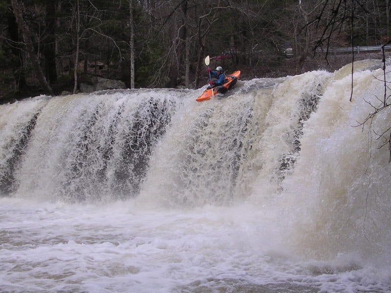
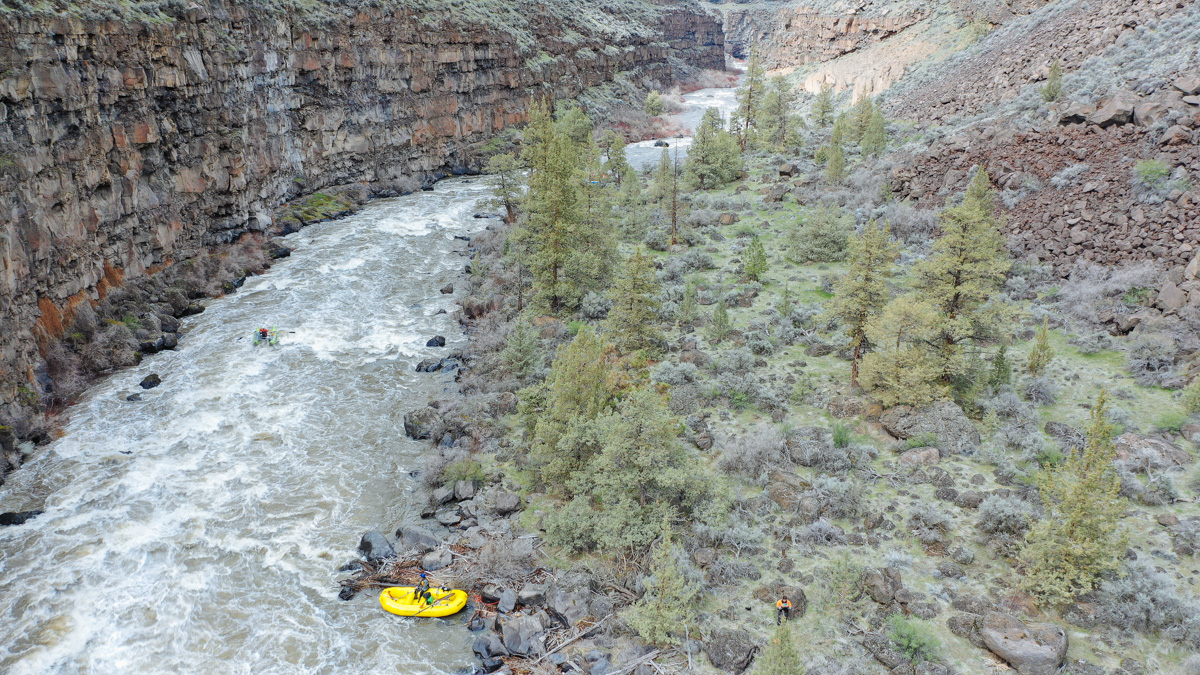
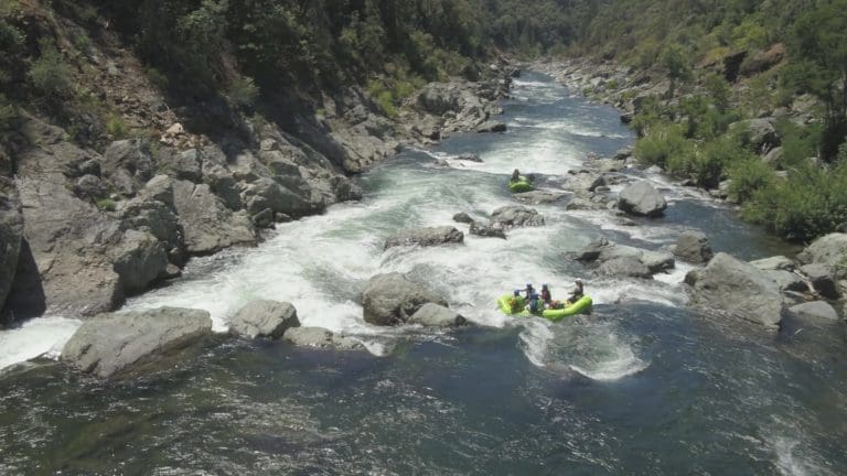
Lower Crooked Fork is a great intro-creeking run.
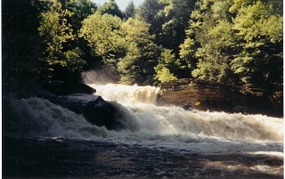
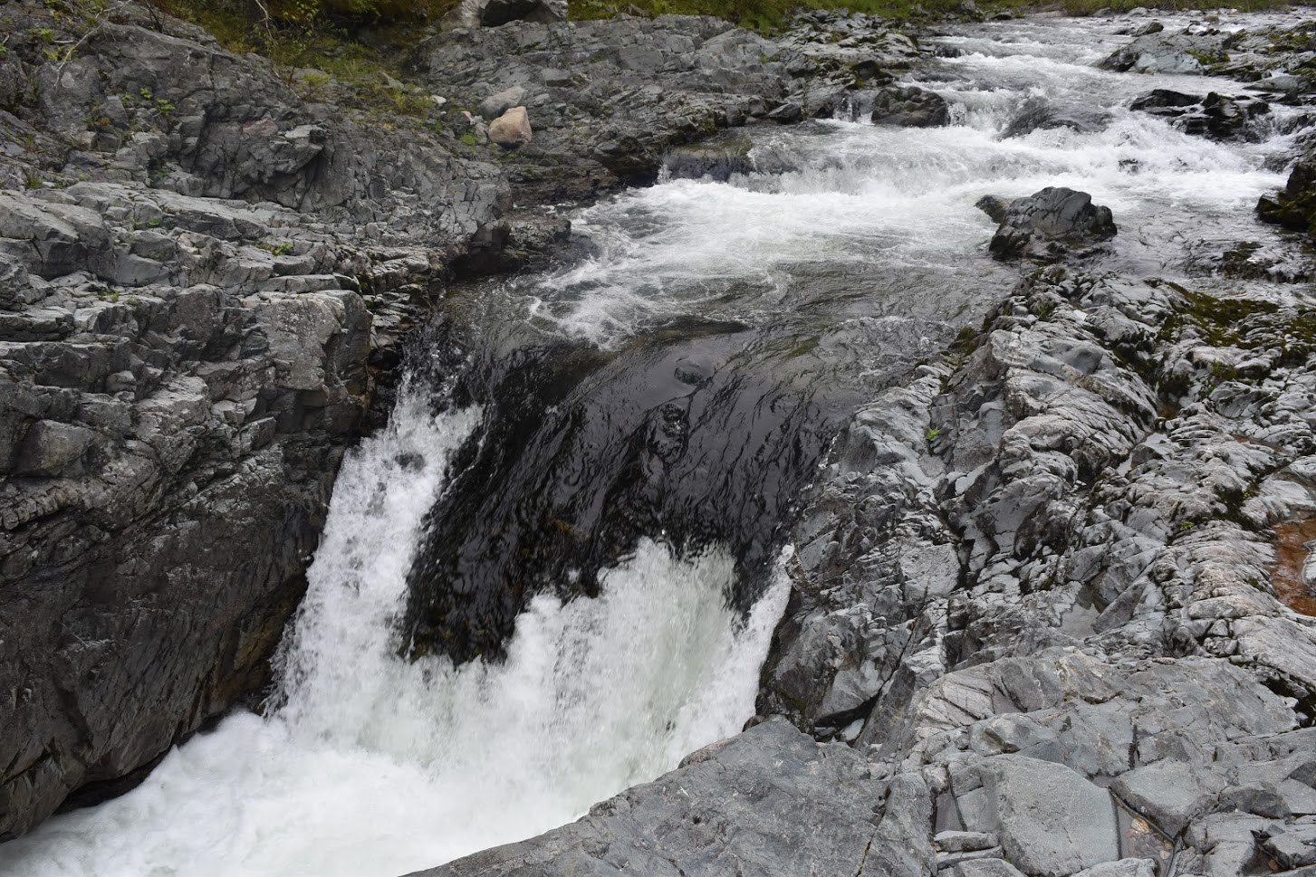
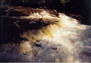
Many people who feel apprehensive about running the upper section choose to only run this section, while others will run both the upper and lower sections. The run starts with an easy drop over Potter's Falls into a deep pool, with Lower Potter's Falls just downstream (and worth a scout and likely portage for many). The next mile is class III with a few scattered class IV rapids. The next 2-miles is class II-III, but don't think the action is over, because the final mile is the river's final descent into the Emory River gorge. This final section includes class III rapids with a few class IV's. The remainder of the run is a 2-mile paddle down the Emory River to the take-out at Camp Austin.
Creek-boats and open-boats are recommended for this plateau gem but, a play-boat could be an option on a high flow day.
Articles and web links:
Potter's Falls made the front cover of the Summer, 1973 edition of American Whitewater Magazine.
The Crooked Fork Tennessee Paddle Page
Camping Options:
Camping can be found in the nearby Obed Wild and Scenic River area at the Rock Creek Campground located at the Nemo Bridge. This is the take-out for the Lily to Nemo section of Clear Creek and the Obed Junction to Nemo section of the Obed River.
Probably the closest campground is found in Frozen Head State Park. It's only a few miles away offering not only campsites but also hiking trails to some cool waterfalls.
Rapids in this Run (4)
Waterfalls (4)
Hazards & Portages (4)
Caution: The following locations may require scouting or portaging. Always check current conditions.
Difficulty
Class III-IV
Length
6.2 mi
Gradient
40 ft/mi
max 90
Rapids
4
4 Hazards
Access Points
Shuttle Info
**Shuttle Directions:**
The put-in is at the Potter's Falls Bridge. From Wartburg, Tennessee go south on Hwy 27 a few miles until you see the Crooked Fork Bridge and the sewage treatment plant on the right. Cross the Crooked Fork Bridge going south 0.1 miles and make a right on the first road to the right. There is an Armes Chapel Missionary Baptist Church sign at the road. Go 0.9 miles and make another right, which is the first blacktop road on the right. (There is another Armes Chapel Missionary Baptist Church sign at this road.) Go another 0.8 miles and turn right at the next road.
The Potter's Falls Bridge and put-in is 0.4 miles down the hill.
**Put-In to Take-Out at Camp Austin:**
Go back across the Potter's Falls Bridge and up the hill 0.4 miles and make a left. Go 0.8 miles and make the next left. Go 0.9 miles till you come to US Hwy 27. Turn right and go south 4.8 miles to the junction of S.R. 328. Make a right following the signs to Oakdale.
Go 3.7 miles and make a right on S.R. 299 at a convenient store.
Go down the hill 0.2 miles and make another right just before you cross the Emory River Bridge in Oakdale.
The Take-Out at the Camp Austin Bridge over the Emory River is 5.3 miles.
**There used to be an alternate shuttle route to the Camp Austin takeout but it is now blocked.**
Difficulty Classes
I Easy
II Novice
III Intermediate
IV Advanced
V Expert/Extreme
VI Unrunnable
Current Conditions
5-Day Forecast
Whitewater data from
American Whitewater
American Whitewater