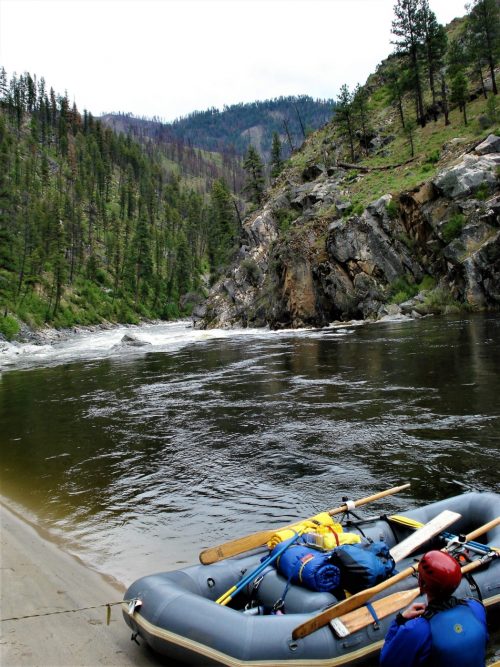
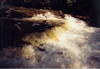
The Class II Section
Save this feature with the run it belongs to.
Gauge Conditions
Data from American Whitewater & USGS
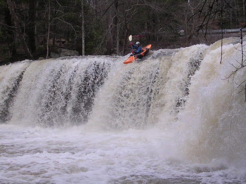
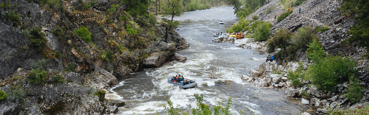
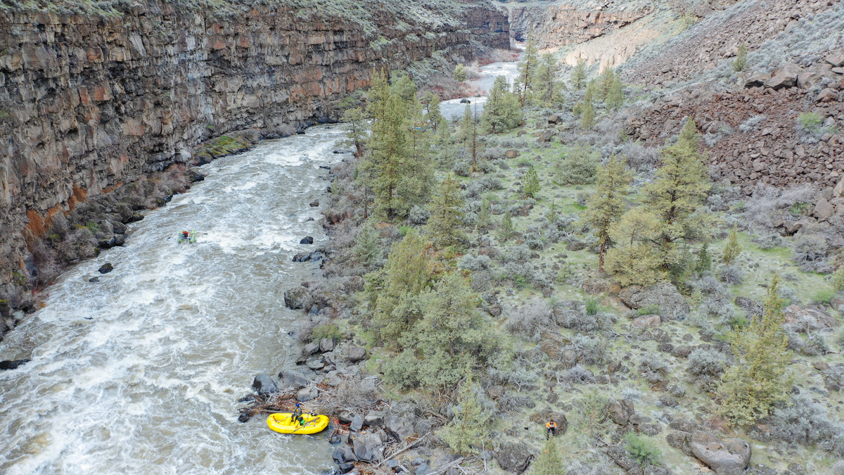
Photo
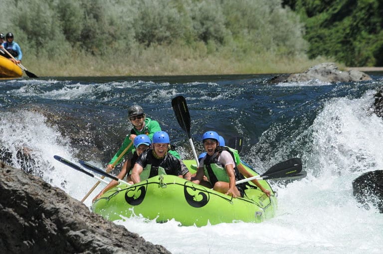
Photo courtesy of American Whitewater
Description
The next 1.5 miles is when the water takes a break. You'll think this run is over but the final punch is yet to come.
Location
Interactive river map
Loads as you approach this section.
Other Rapids on This Run (10)
View Full Run
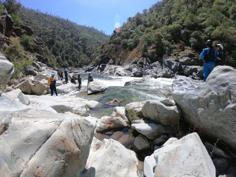
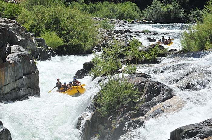
2. Potter's Falls to Camp Austin (Lower)
Crooked Fork Creek
III-IV
6.2 mi
Current Conditions
5-Day Forecast
Whitewater data from
American Whitewater
American Whitewater