3 - Highway 9 to Castleberry Bridge. Etowah Falls Section.
Gauge Conditions
Data from American Whitewater & USGS
Run Map
Description
Sources: B. Sehlinger and D. Otey, Northern Georgia Canoeing (1980); S. Welander, B. Sehlinger and D. Otey, A Canoeing and Kayaking Guide to Georgia (2004); Appalachian Outfitters (706-864-7117).
This attractive run can be broken into two parts by putting in/taking out at Castleberry Bridge near the town of Auraria.
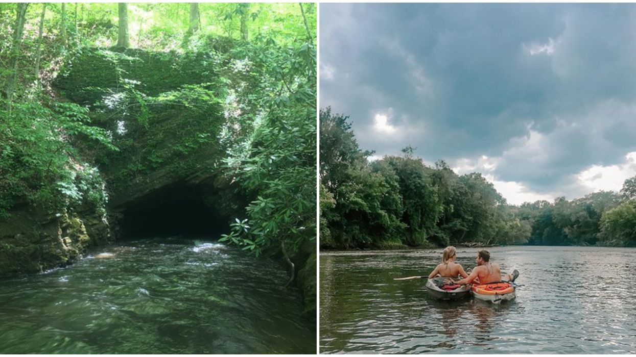
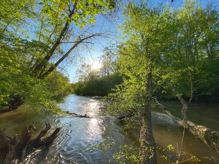
The 7-mile section above Castelberry Bridge includes most of the significant whitewater to be found on the Etowah. This section has wooded banks (which are giving way to residences) and several rock bluffs. The river has several Class I-II rapids and two rapids worthy of particular attention, Class II Chuck Shoals and Class IV Etowah Falls.
Chuck Shoals is a fairly straightforward slide that is normally run at an angle from left to the center chute. Scout from the rocks on the right as the banks are private property. Check for logs and debris that tend to accumulate at the top and bottom of the rapid.
Warning Drop, a two-foot ledge located shortly downriver of a large waterside residence on river left, serves as a warning for the upcoming Etowah Falls. Warning Drop can be run using any of several chutes, but the chutes on the left are clearer when the water is low. A long pool below Warning Drop, also known as Look Back Lake, provides ample opportunity to move right in preparation for portaging the Falls.
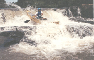
Etowah Falls, consisting of a 10+ foot ledge between two smaller drops, is just beyond the left turn at the end of Look Back Lake and presents a clear horizon line and a pronounced roar. The first small drop should not be run unless you also plan to run the main drop. Portage along the path on river right, beginning at or above the large rock: the land is owned by the family that operates Appalachian Outfitters, which permits boaters to use the path.
The main drop of Etowah Falls can be scouted from the high rocks on river right, also reached by the path: check for others playing in at the Lower Ledge/Rocky Road. In 1980, the main drop was considered a mandatory portage by Sehlinger and Otey and most Etowah boaters portage it, but it has been run often, especially at higher water levels. At normal levels, the usual procedure is to boof the chute just left of center into a narrow landing area: other options are available at higher levels.
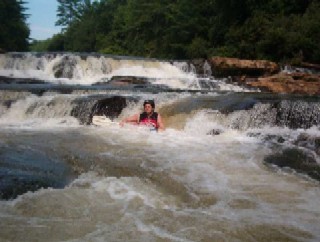
The end of the path presents an opportunity to scout the Lower Ledge of Etowah Falls, also known as Rocky Road, and options to run or portage it. Just before the end of the path is a steep drop where it is easier and safer to pass boats than to carry them.
The last half mile before the take-out at Castleberry Bridge includes three technical Class II rapids, Island Shoals, Middle Shoals and Castleberry Rapid: the cleanest path through the first two is on river right and for Castleberry Rapid is on river left. Move right after Castleberry Rapid for the take-out at Castleberry Bridge. Take out at or just below the prominent rocks on river right or, if you prefer, run the last small rapid and take out under the bridge. The walk to Castleberry Bridge Road is short and easy.
DIRECTIONS:
To reach the put-in, take Highway 9 about 4.5 miles southwest from Dahlonega or north from the intersection with with Highway 136 (about 7.2 miles) or Castleberry Bridge Road (about 5.1 miles). The put-in is under the south (river right) end of the bridge: look for a dirt road on the west side of Highway 9. Parking is available under the bridge.
To reach the access at Castleberry Bridge, take Castleberry Bridge Road west about a mile from Auraria Road (the turn is at the largely abandoned town of Auraria, 6.7 miles north of Highway 136: look for a "historical site" marker on the left or an old, brown, abandoned hotel building on right) or east about 3.1 miles from Highway 9 (the turn from Highway 9 is 5.1 miles southwest of the put-in or 2.1 miles north of Highway 136 (turn just past the tall water tank on the right)). Roadside parking is available and the access is down the path at the northwest corner of the bridge.
To reach the Highway 136 take-out, follow Highway 136 west from Highway 400 or the south end of Auraria Road or east from Highway 9. The designated parking area is roadside and west of the bridge, at the end of the long guardrail on the north shoulder of the road: parking is also available on the other three corners of the bridge. Be careful, as traffic on Highway 136 tends to move fast and lines of sight are limited.
Waterfalls (1)
Playspots (5)
Hazards & Portages (8)
Caution: The following locations may require scouting or portaging. Always check current conditions.
Difficulty
Class II(IV)
Length
7.2 mi
Rapids
0
8 Hazards
Access Points
Difficulty Classes
I Easy
II Novice
III Intermediate
IV Advanced
V Expert/Extreme
VI Unrunnable
Current Conditions
5-Day Forecast
Whitewater data from
American Whitewater
American Whitewater