3) Johnsondale Bridge to Powerhouse #3
No sufficiently local live gauge linked. 1 automated match was excluded because the closest is 32.7 miles away. Difficulty and route details are not current water conditions.
Run Map
Run Time Estimate
Select put-in and take-out to estimate time.
Plan This Trip
See wind-adjusted speed maps, forecast planning, and detailed time estimates.
Sign in to generate an AI timing estimate for this run.
Whitewater timing varies with scouting, portages, and group pace. Use as a planning baseline.
Description
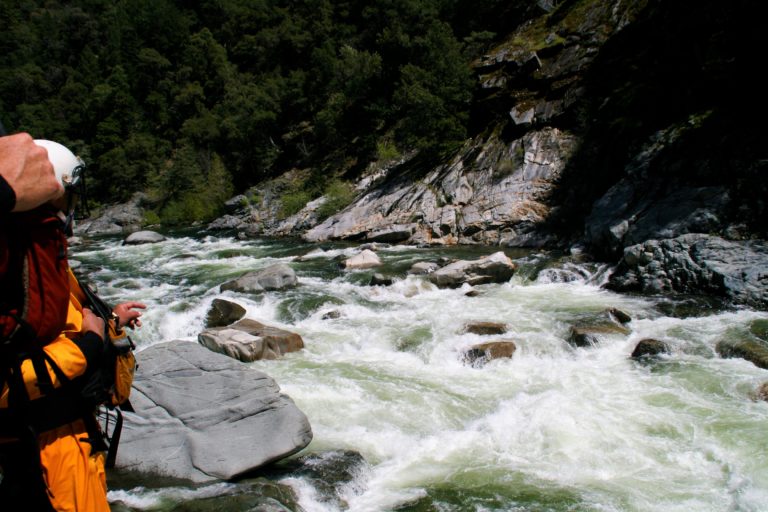
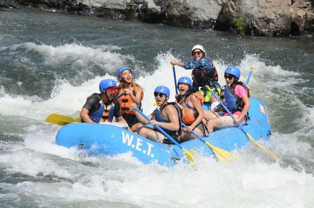
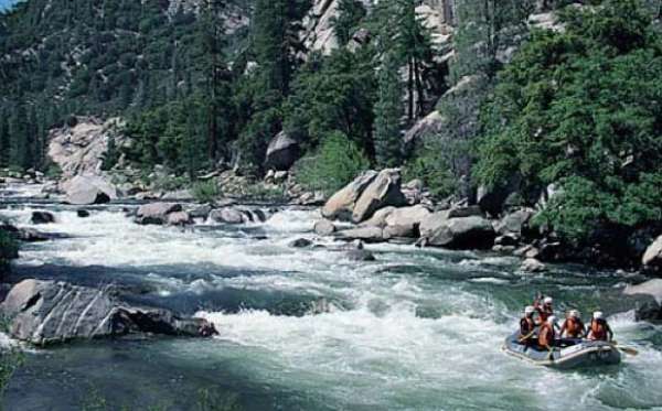
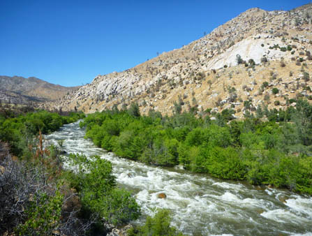
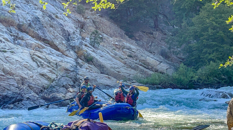
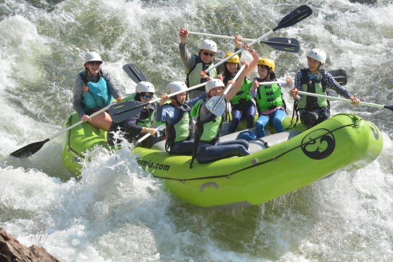
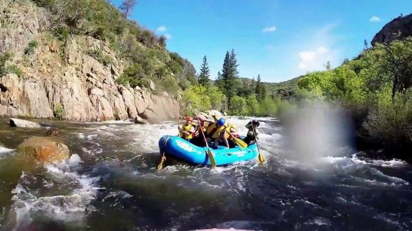
The excellent variety of whitewater below Johnsondale bridge provides several different options for boaters. Some of it easily rivals the Forks in quality and difficulty, but with more convenient access. The Forks beats this segment for scenery but not by a lot, and when you are staring at the next horizon line, who needs scenery! The river is commonly considered as several distinct sections, especially since Fairview dam forces a portage and then diverts up to 600 CFS of the flow from the river.
*1) Johnsdale Bridge to Fairview Dam: Limestone Run (2.4 miles, class III-IV)*
This segment of the run is free flowing so check the flows for the Kern above the Fairview Dam to get an accurate reading for this segment. Because flows are not impacted by a diversion, this section is typically an option when the powerhouse is diverting flow out of the segments below Fairview Dam. The main rapids are Brush Creek (3), Limestone (4), Joe's Diner (4), and Betty's Bakery (3). The scenery of this dramatic canyon is excellent with numerous limestone walls with small caves and dripping water. This runs down to about 450-500cfs.
*2) Fairview Dam to Calkins Flat: Calkins Flat Run/Fairview (2.8 miles, class III)*
This segment is signifcantly less difficult than the sections upstream or downstream. It's serves as a short intermediate run by itself or a warm up to the Chamise Gorge. Southern California Edison diverts up to 600 cfs from the river for the powerhouse near Kernville. All the runs between Fairview Dam and the KR3 Powerhouse, have shorter seasons and lower flows because of the diversion. Since relicensing, Edison reduces the diversion on weekends under certain conditions to benefit whitewater recreation (check the flow tab for more information on how to interpret the gages and determine if the river is running).
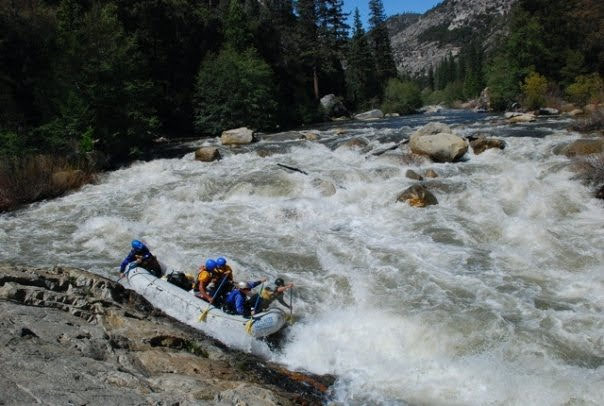
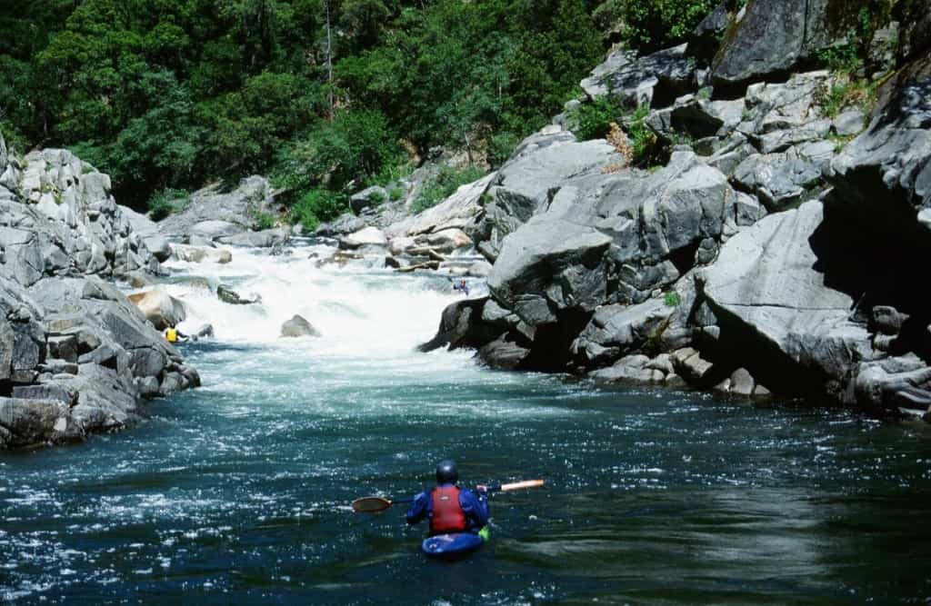
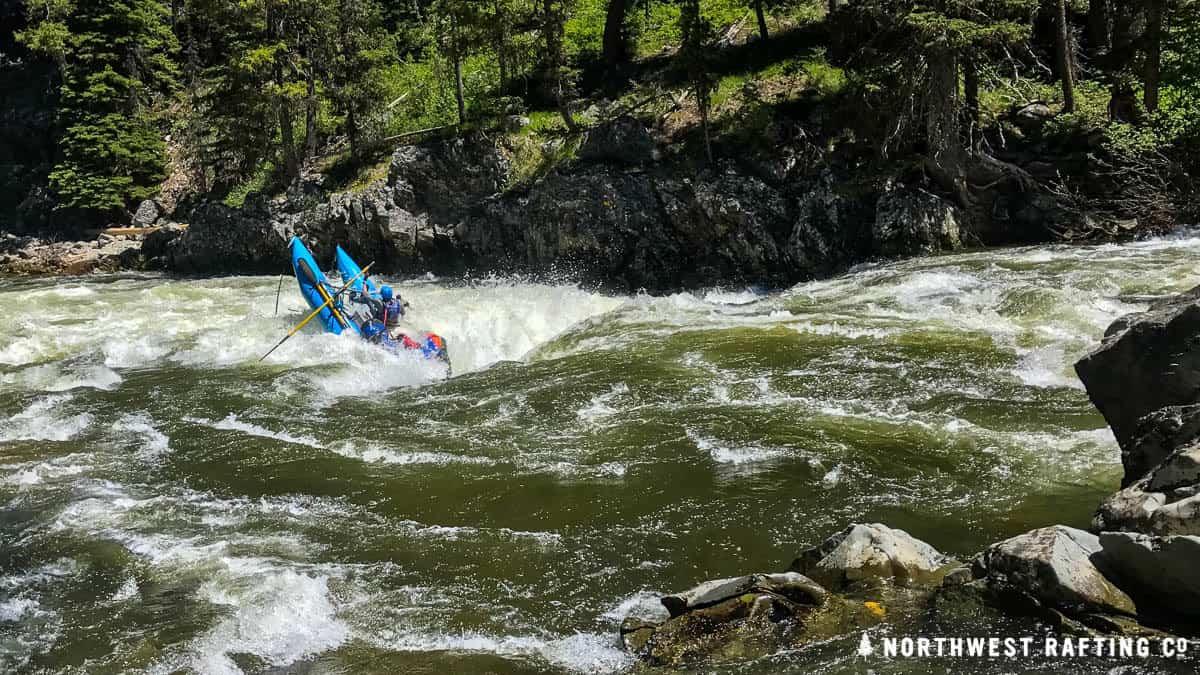
*3) Calkins Flat to Gold Ledge Campgound: Chamise Gorge (4.5 miles, class IV/V)*
The segment begins with Entrance Rapid. Satan's Slot is another named rapid that comes up just before the river cascades through Salmon Falls. An altnerate access provides a take-out option above Salmon Falls. Flows for this segment are also impacted by the Southern California Edison diversion dam.
*3) Ant Canyon (class IV)*
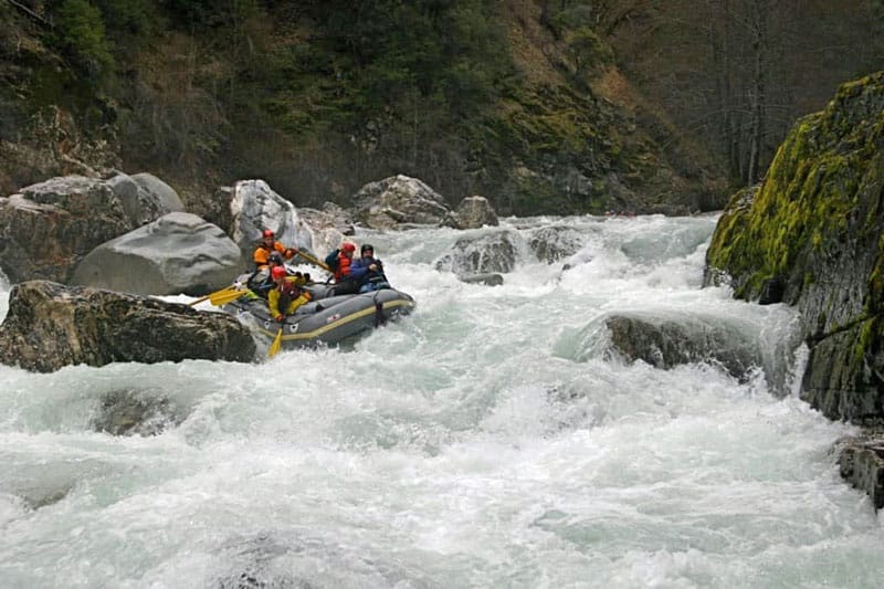
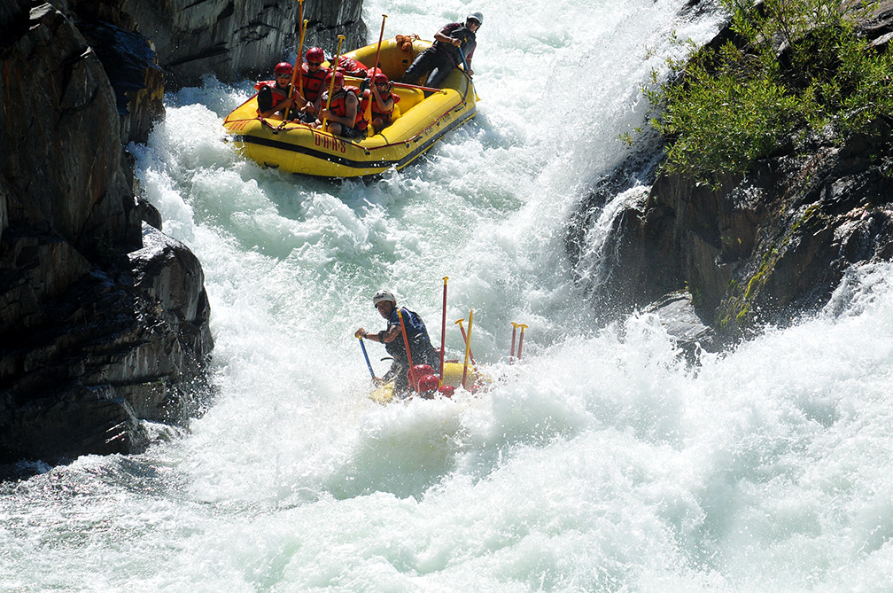
*4) Gold Ledge Campground to Thunderbird: Gold Ledge Run/Thunder Run (class V)*
This section is the most difficult on the Upper Kern with named drops that include Squashed Paddler, Sock 'Em Dog, The Flume, Fender Bender, etc
*5) Thunderbird Campground to KR3 Powerhouse: Cables (class IV)*
*Cables rapid, The Wall, Tombstone, Buzzard's Perch, Tequila Chute (left) or Pepsi Challenge (right) and Powerhouse. Flows for this segment are also impacted by the Southern California Edison diversion dam.*
Logistics:
The Johnsondale Bridge put-in has a large parking area with developed river access on the west side (river right) of the bridge. It is located about about 25 minutes north of Kernville and about one hour and 40 minutes from Bakersfield. If coming from the north it is faster to turn off of highway 99 at Earlimart to go through Ducor and California Hot Springs. Allow about one hour and 20 minutes from Earlimart. Sometimes people drive through Springville and up through the Tule River Canyon, but this is a slow drive due to the narrow, windy road. Allow an hour and a half just from Springville, not counting stops for gawking at the Tule canyon.
The Powerhouse take-out is just north of Kernville on river left on the downstream side of the Southern California Edison KR3 Powerhouse. Take Sierra Way (Hwy 521) north out of town to reach the take-out.
Mountain Highway 99 serves as the shuttle route along river left as it parallels the entire run. Along the way there are alternate access points depending on flows and the level of difficulty you are seeking. Intermediate access points include Fairview Dam (take-out above and put-in below), Calkins Flat, above Salmon Falls, Ant Canyon Primitive Area, Gold Ledge Campground, and Camp 3 Campground. Click the map tab to view the location of rapids and these alternate access points.
Other Information Sources:
Edison's Kern River flow phone: 877 537 6356
Upper Kern Guide Book
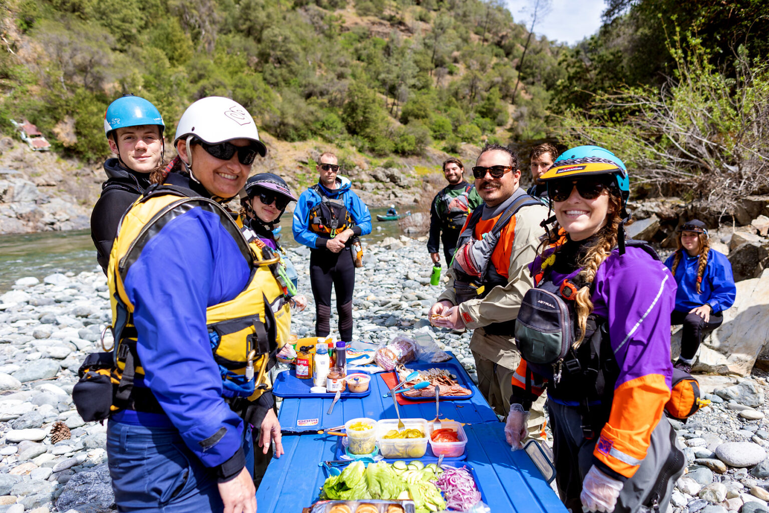
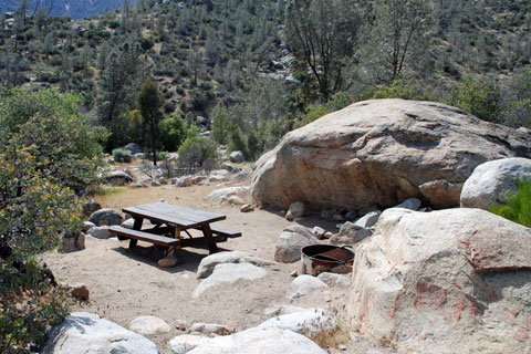
Camping
Wikipedia
Kern River Festival
Kern River Alliance
Kern Valley River Council
Sequoia National Forest Kernville office phone # 760-376-3781
Sierra South store
Cacreeks.com
Cassady & Calhoun, Holbek & Stanley, Martin, Alan Baty
Rapids in this Run (21)
 Rapid
III
Rapid
III
Brush Creek
 Rapid
IV
Rapid
IV
Limestone
 Rapid
IV
Rapid
IV
Joe's Diner
 Rapid
V
Rapid
V
Bomb's Away
 Rapid
III
Rapid
III
Fairview put-in
 Rapid
Rapid
Calkins Flat Access
 Rapid
IV+
Rapid
IV+
Entrance Rapid
 Rapid
IV+
Rapid
IV+
Satan's Slot
 Rapid
Rapid
Ant Canyon Primitive Area
 Rapid
Rapid
Gold Ledge Camgpround
 Rapid
V
Rapid
V
Squashed Paddler
 Rapid
V
Rapid
V
Sock 'Em Dog
 Rapid
IV+
Rapid
IV+
The Flume
 Rapid
V
Rapid
V
Fender Bender
 Rapid
IV
Rapid
IV
The Cable
 Rapid
Rapid
Camp 3 Campground Access
 Rapid
IV
Rapid
IV
The Wall
 Rapid
IV
Rapid
IV
Tombstone
 Rapid
III+
Rapid
III+
Buzzard's Perch
 Rapid
III+
Rapid
III+
Tequila Chute or Pepsi Challenge
 Rapid
III+
Rapid
III+
Powerhouse Rapid
Hazards & Portages (2)
Caution: The following locations may require scouting or portaging. Always check current conditions.
Difficulty
Class III-V
Length
18.4 mi
Rapids
21
1 Hazard
1 Portage
Access Points
Shuttle Info


Difficulty Classes
I Easy
II Novice
III Intermediate
IV Advanced
V Expert/Extreme
VI Unrunnable
Permit Required
A Kern River Use Permit is required year round and is valid from May 1 through April 30 each year. Permits are issued on a first-come, first-served basis and are free of charge. A permit is required for EACH craft. Group size cannot exceed 18 people on the river at one time. To obtain a permit, fill out an application IN PERSON at Forest Service offices in Kernville, Lake Isabella, Springville or Bakersfield. Applications will not be mailed out or left in office drop boxes. Upon completion of your application, a waterproof permit may be issued.
Get Permit
Current Conditions
5-Day Forecast
Whitewater data from
American Whitewater
American Whitewater