4. Canyon Dam to First Crossing (16 miles)
Gauge Conditions
Runnable: 250.0 – 6,000.0 CFS
Data from American Whitewater & USGS
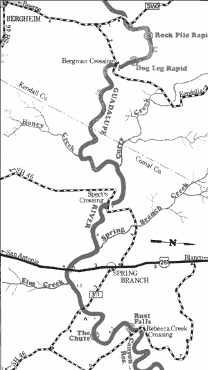
Run Map
Run Time Estimate
Select put-in and take-out to estimate time.
Plan This Trip
See wind-adjusted speed maps, forecast planning, and detailed time estimates.
Sign in to generate an AI timing estimate for this run.
Whitewater timing varies with scouting, portages, and group pace. Use as a planning baseline.
Description
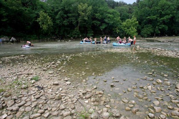
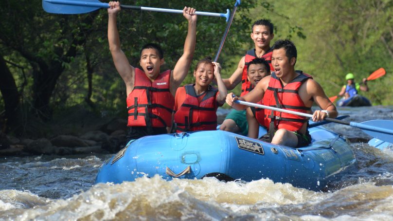
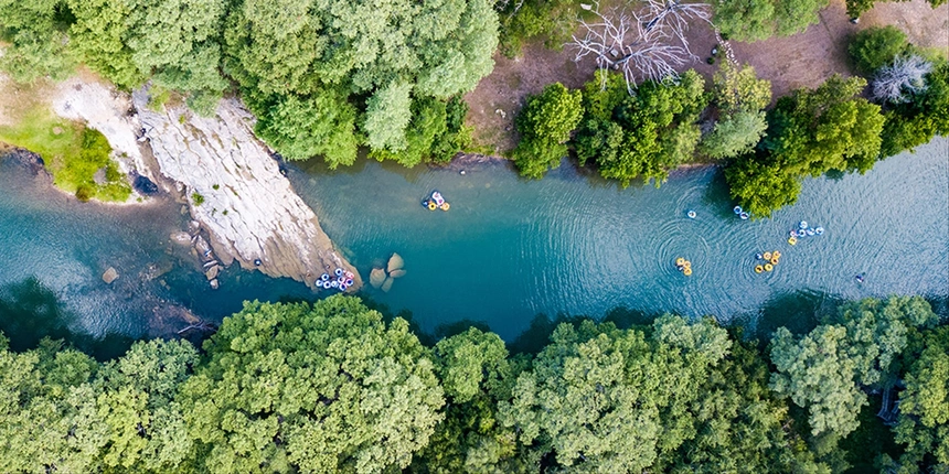
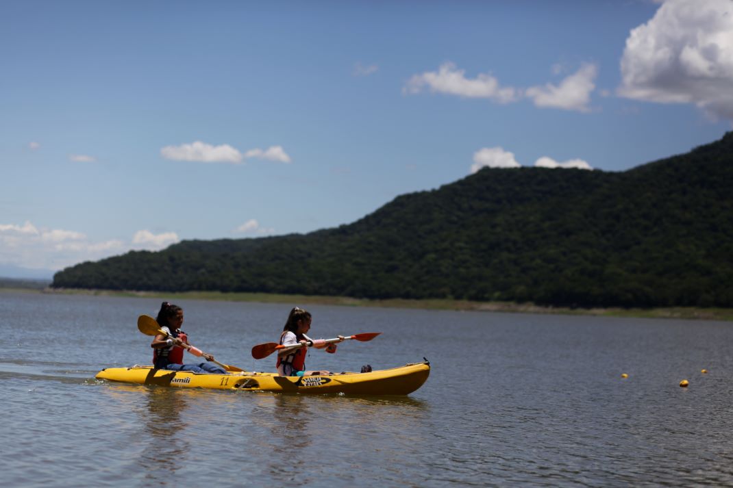
The Lower Guadalupe is fed from a bottom-release dam ( Canyon Dam), and thus it almost always runs relatively clear and cold (60 degrees at the dam.) During the summer months, if the dam release is at "recreational" levels (< 750 cfs), the river will be clogged with tubers. Referring to this article, The Guadalupe-Blanco River Authority controls the releases from Canyon Dam whenever the lake level is 909' or below, and when this is the case, typically the releases will be geared toward tubing (no more than 750 cfs, and usually much lower) during the summer months. During periods of drought, the GBRA will release only the minimum necessary to maintain the health of the Matagorda Bay estuary and fulfill downstream water contracts (about 50-75 cfs.) When floods occur on the Upper Guadalupe and the lake gets above 909', the Army Corps of Engineers takes control. If the lake level gets too high, then they will attempt to lower it to 909' as quickly as they can, which usually results in days or weeks of 3000-5500 cfs releases downstream (5500 cfs is the maximum dam release.) However, the Army Corps must also ensure that the release, when combined with natural flows, does not exceed 12,000 cfs at Cuero, Gonzales, and Victoria. During big dam releases, the Lower Guadalupe becomes a playground for rafters and whitewater kayakers, but unfortunately this only tends to happen every few years, and extended multi-week big releases only tend to happen once or twice every decade.
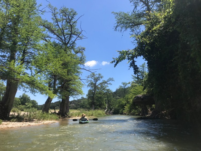
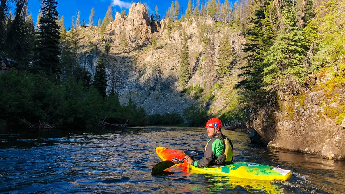
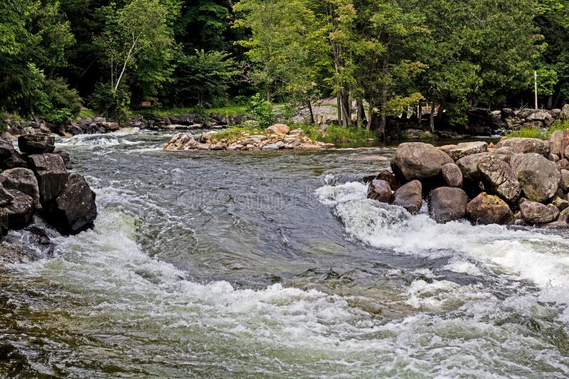
Although there are a few decent natural wave trains on this stretch of river when the dam is releasing 3000+ cfs, most of the significant rapids are formed by low-head dams, and the majority of rapids are above 4th Crossing. The stretch from 4th Crossing to 1st Crossing has a lot of flat water. The main allure of this stretch is its scenic beauty, as the river winds through some steep hills (hundreds of feet tall) with impressive cliffs reaching all the way down to the waterline.
The put-in for this stretch is at the outlet of Canyon Dam, on South Access Road. Both sides of the outlet have a public parking lot and a 500' trail that leads down to the river. There are basically no public access points on the Lower Guadalupe between Canyon Dam and Common St., so taking out at First Crossing will require paying a fee to one of the outfitters located on either side of the river.
Distances and gradient measured using GIS tools in 2015.
NOTE: Regarding Inaccuracies in the Sattler Gauge
As of this writing, there is a non-linear error in the Sattler gauge that causes it to read too high when the release is above about 4700 or 4800 cfs (which generally only occurs when the Corps are doing a full release from both the dam and the power plant.) This has been the case since before the 2015 floods. The gauge will read 7000 cfs when in fact only 5500 cfs is being released. The Sattler gauge is located at Horseshoe Falls, just below the point at which the Canyon Lake spillway channel joins the river channel. There are no significant contributing streams between the gauge and the dam, so if the spillway is inactive, then the Sattler gauge should match the dam release. Refer to the Army Corps' Canyon Lake page for the actual release information. If the Sattler gauge disagrees with that, then the gauge is most likely incorrect.
Rapids in this Run (13)
 Rapid
II+
Rapid
II+
Dam 1 (Horseshoe Falls)
 Rapid
Rapid
FM 306 Crossing #2 (Top of the Horseshoe)
 Rapid
Rapid
FM 306 Crossing #1 (Bottom of the Horseshoe)
 Rapid
II+
Rapid
II+
Dam 2 (Kanz Dam)
 Rapid
II
Rapid
II
Dam 3
 Rapid
Rapid
4th Crossing
 Rapid
II
Rapid
II
S-Turn
 Rapid
Rapid
Ponderosa Crossing (High Bridge)
 Rapid
II
Rapid
II
Devil's Playground/Bear Creek Confluence
 Rapid
II
Rapid
II
Bad Rock
 Rapid
Rapid
3rd Crossing
 Rapid
II+
Rapid
II+
Dam 5 (The Chute)
 Rapid
Rapid
2nd Crossing
Playspots (2)

Hazards & Portages (1)
Caution: The following locations may require scouting or portaging. Always check current conditions.
Difficulty
Class II+
Length
15.8 mi
Gradient
7 ft/mi
Rapids
13
1 Hazard
Access Points
Difficulty Classes
I Easy
II Novice
III Intermediate
IV Advanced
V Expert/Extreme
VI Unrunnable
Current Conditions
5-Day Forecast
Whitewater data from
American Whitewater
American Whitewater