Dam 1 (Horseshoe Falls)
Save this feature with the run it belongs to.
Gauge Conditions
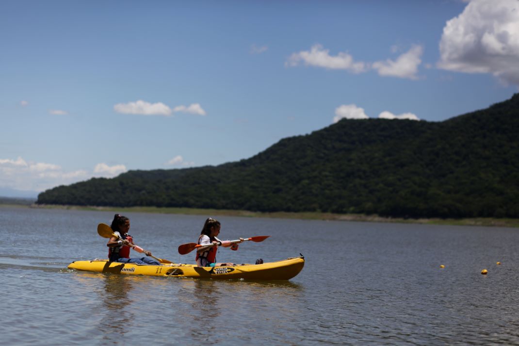
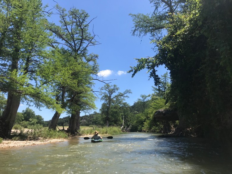
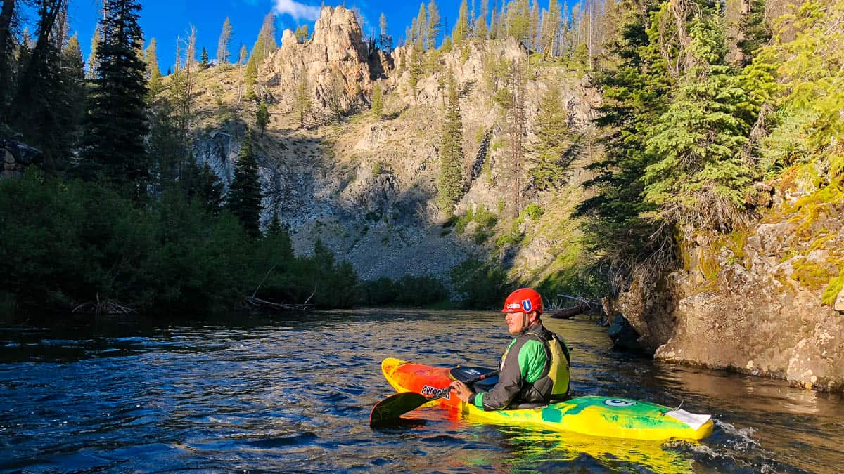
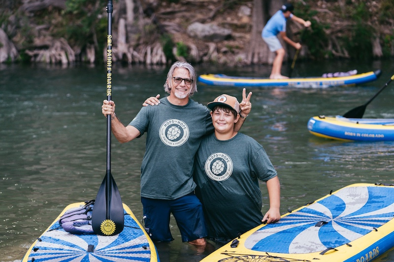
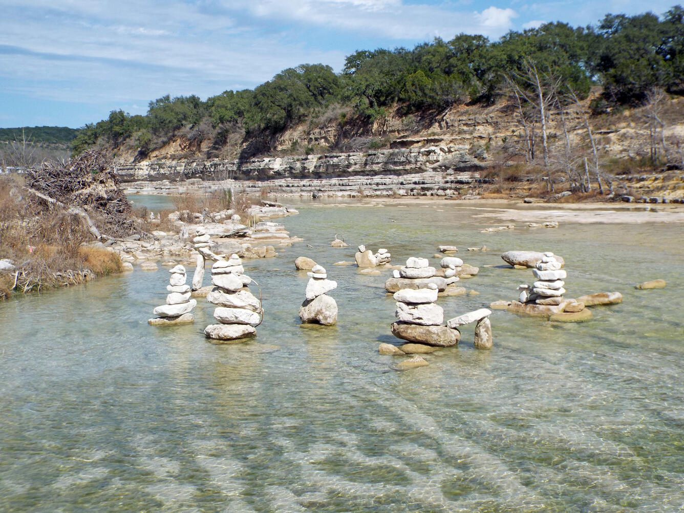
Photo
Description
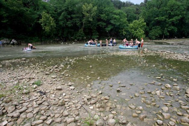
Prior to 2002, this 6' dam was deadly, because its crescent shape caused most of the water to recirculate back into the dam. Multiple people apparently lost their lives here. In the July 2002 flood, 70,000 cfs went over the Canyon Lake spillway (the first time that the spillway had ever been activated), and that water entered the Lower Guadalupe just upstream of Horseshoe Falls, burying it in sediment. The dam has since been excavated, but the character of it was forever altered by the flood, and it is now runnable. At high levels (thousands of cfs), it forms a wave train at river right with a shallow ledge hole at river left. The ledge hole looks grabby, but it is unknown whether anyone has actually been in it. Use caution. At low levels, most of the water goes to river right, and the shape of the natural shelf (exposed during the 2002 flood) creates a small diagonal hole that can hold and flip a tube. That hole may present difficulties for recreational canoeists as well, but it is not known to be dangerous for whitewater boaters.
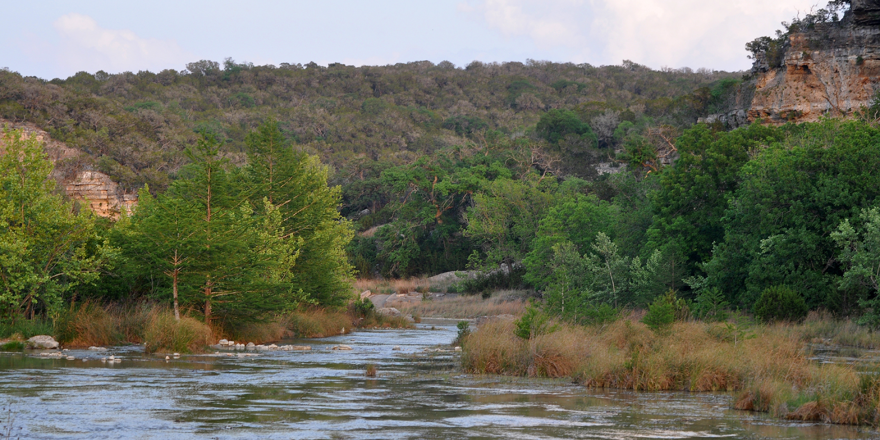
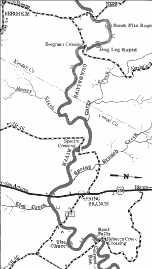
Location
Other Rapids on This Run (17)
 Rapid
N/A
Rapid
N/A
 Rapid
N/A
Rapid
N/A
 Rapid
N/A
Rapid
N/A
 Rapid
II+
Rapid
II+
 Rapid
II
Rapid
II
 Rapid
N/A
Rapid
N/A
 Playspot
II+
Playspot
II+
 Rapid
II
Rapid
II
 Rapid
N/A
Rapid
N/A
 Rapid
II
Rapid
II
 Rapid
II
Rapid
II
 Hazard
N/A
Hazard
N/A
 Rapid
N/A
Rapid
N/A
 Rapid
II+
Rapid
II+
 Rapid
N/A
Rapid
N/A
 Playspot
II
Playspot
II
 Rapid
N/A
Rapid
N/A
Current Conditions
5-Day Forecast
American Whitewater