4. Lilly to Nemo Wild
Gauge Conditions
Runnable: 180.0 – 2,000.0 CFS
Data from American Whitewater & USGS
Run Map
Put-in
Take-out
Rapids/Hazards
Wild
Description
Logistics: The take-out for Clear Creek is actually on the Emory River at the old Nemo Bridge. From the town of Wartburg (willl find a National Park visitor center here), follow the signs to the Nemo Access from Old Highway 27 and head out the southwest corner of town and continue 6.0 miles down to the river. Ample parking and a nice day-use area with changing area and picnic tables can be found upstream river left of the old Nemo Bridge. This is a great meeting point and place to hangout after your run. To reach the put-in, head back up to Old Highway 27 and go west 1.9 miles and turn up onto Highway 27 and after 3.3 miles turn left onto Highway 62. Follow this road 9.1 miles to the turn for Lilly Access (marked by a sign). The road to this access winds 3.3 miles down to the river. You will find parking downstream river left of the bridge.
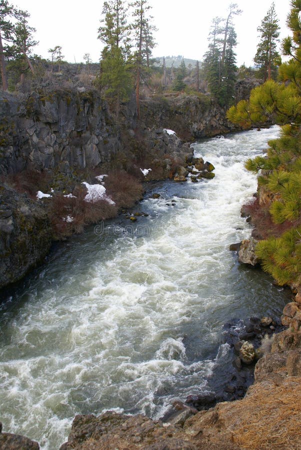
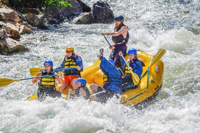
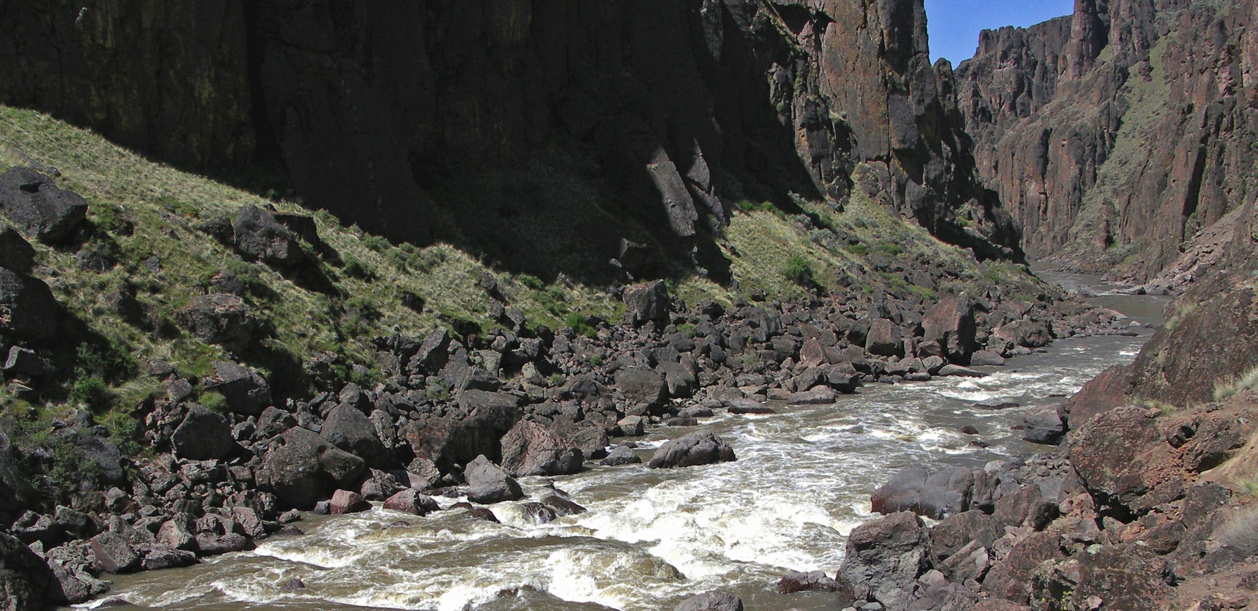
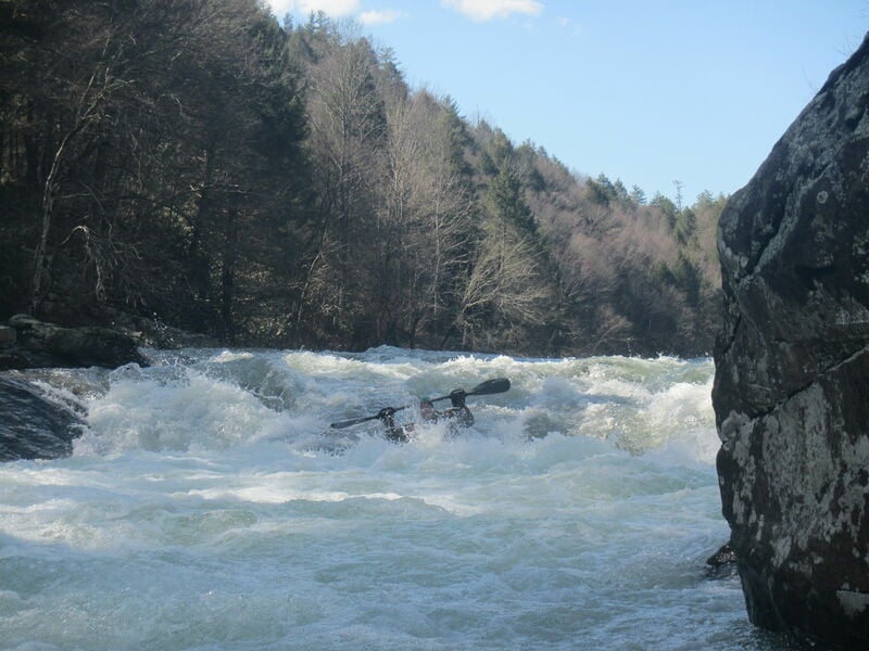
Description: The Clear Creek Canyon from Lilly Bridge to the Obed River confluence is only 1.5 miles but the run continues on the Obed and then the Emory River for a full 7.5 mile run. At moderate flows this is a good intermediate run for those who also appreciate the scenery of the undeveloped river canyon. The pools between rapids are a little long in places, but there are several good class III rapids. Just be aware of the undercuts as there are a couple bad ones on this run.
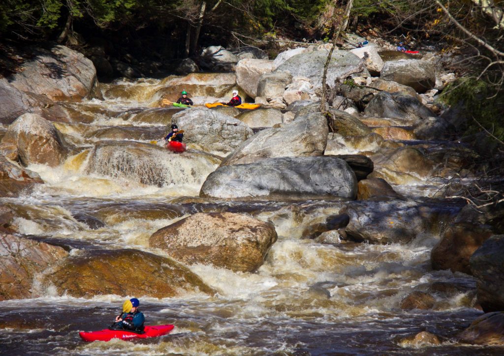
Downstream of Lilly Bridge, the river flows through Jack's Rock, Camel Rock, Wooten's Folly, Rock Jumble, and Focus Falls. These are all pool drop class III rapids with long recovery sections in between.
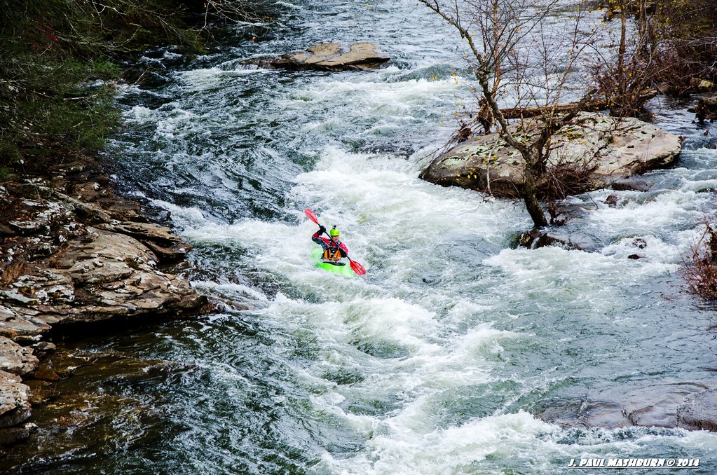
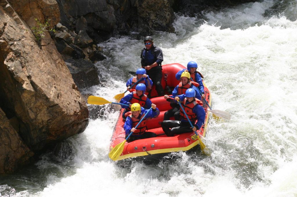
Once you reach the Obed River confluence you will be on a medium volume river. Here you willl encounter four more class III rapids. the last two are Keep Right and Widowmaker. You will find some fun surfing waves in this section.
See Obed River (Obed Junction to Nemo).
For more great photos of Clear Creek see ( www.JulieKeller.com.
Here's the official Obed Wild & Scenic River Map with all the putins and takeouts.
Rapids in this Run (8)
Waterfalls (1)
Playspots (1)
Hazards & Portages (1)
Caution: The following locations may require scouting or portaging. Always check current conditions.
Difficulty
Class II-IV
Length
7.2 mi
Rapids
8
1 Hazard
Access Points
Difficulty Classes
I Easy
II Novice
III Intermediate
IV Advanced
V Expert/Extreme
VI Unrunnable
Current Conditions
5-Day Forecast
Whitewater data from
American Whitewater
American Whitewater