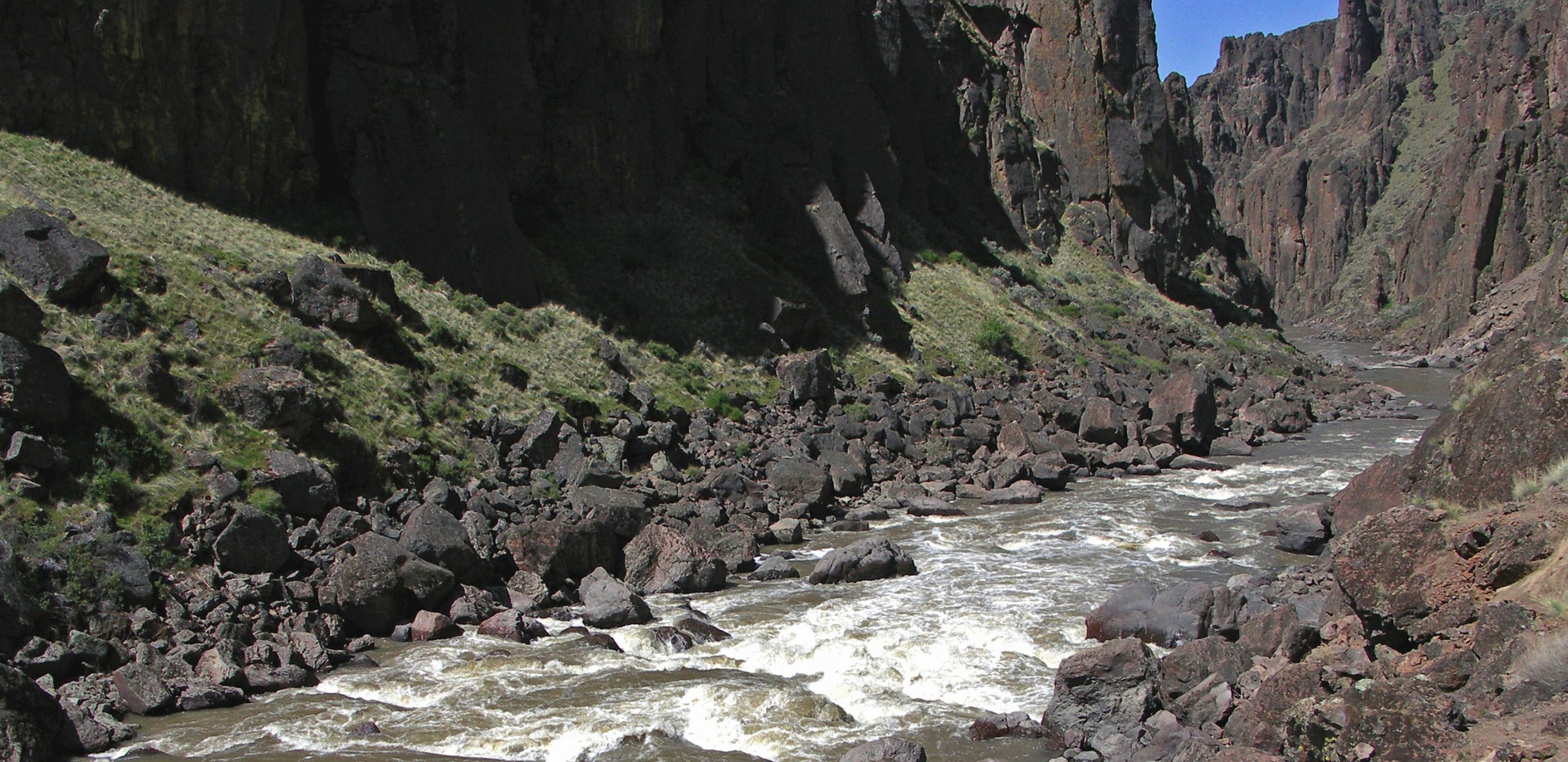
Widow Maker
Save this feature with the run it belongs to.
Gauge Conditions
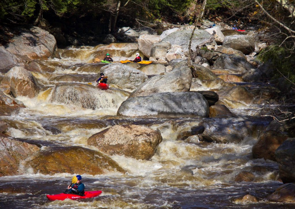
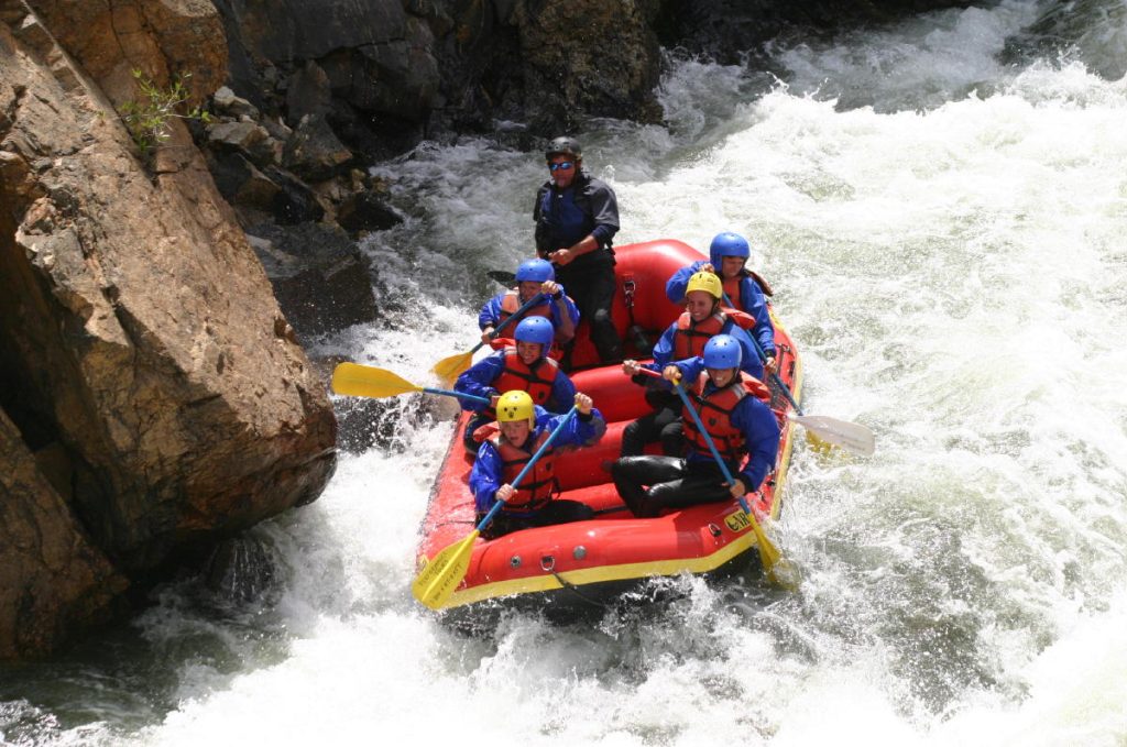
Photo
Description
The location marked on various maps emphatically does not appear to be the site of anything which merits a class III rating (much less to be named "Widow Maker"!!!) based on satellite views. Can anyone give us accurate coordinates for this rapids? Or do the satelite views not accurately reveal the nastiness?
Note added 3/1/19: I'm told by my father that Widowmaker rapid is named for a mine up on the slope, not for the nastiness of the rapid. I remember it as a long rapid on a left bend with big waves mainly at high water. Probably does not deserve the class III rating at medium or low flows, and may never deserve it with modern decked boats. In aluminum canoes it was a big deal. There used to be a camp on river right at the rapid. I ran this section just the other day and could not detect a rapid that resembled Widowmaker so perhaps it has washed out/changed.
Location
Other Rapids on This Run (12)
 Rapid
N/A
Rapid
N/A
 Waterfall
III
Waterfall
III
 Hazard
III
Hazard
III
 Rapid
III+
Rapid
III+
 Rapid
III
Rapid
III
 Rapid
III
Rapid
III
 Rapid
N/A
Rapid
N/A
 Playspot
III
Playspot
III
 Rapid
III
Rapid
III
 Rapid
N/A
Rapid
N/A
 Rapid
N/A
Rapid
N/A
 Rapid
N/A
Rapid
N/A
Current Conditions
5-Day Forecast
American Whitewater