Put-in
TN
Drainage area: ~171 sq.mi.
Save this feature with the run it belongs to.
Gauge Conditions
Data from American Whitewater & USGS
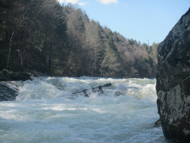
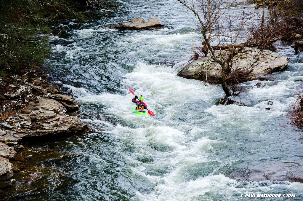
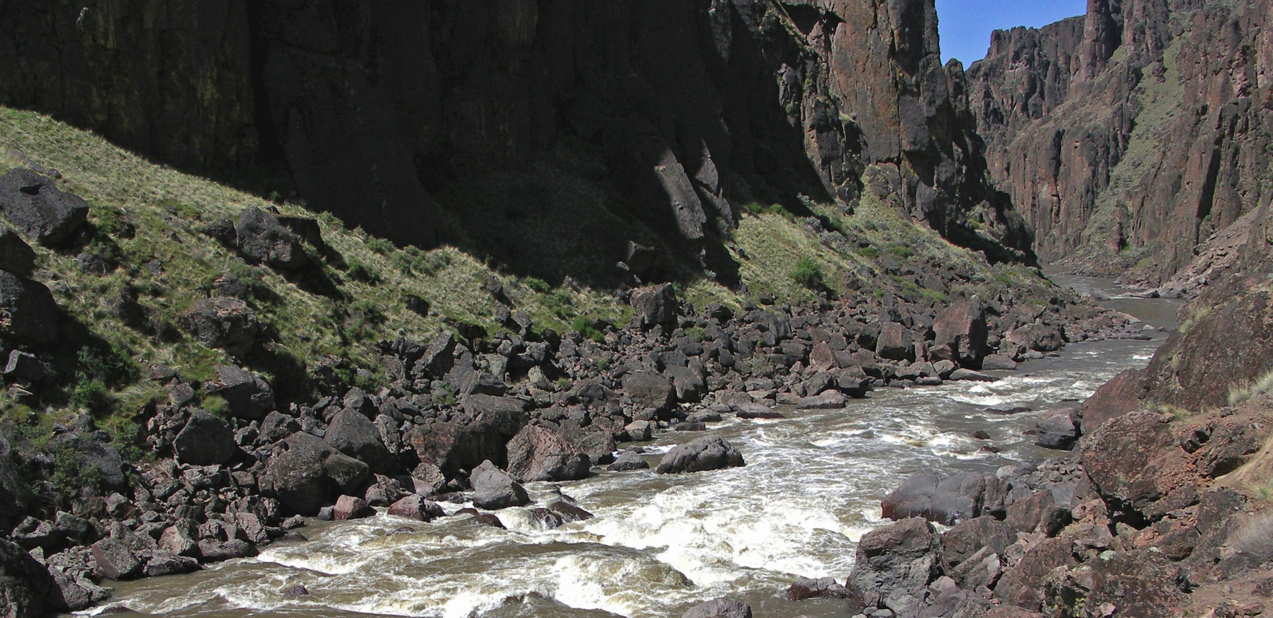
Photo
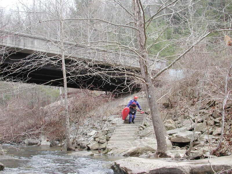
Photo courtesy of American Whitewater
Description
At the listed put-in drainage area is ~171 square miles (as calculated by USGS StreamStats 4.2.0 software).
After 1.6 miles, at the confluence with the Obed, the combined drainage becomes ~514 square miles (meaning likely very nearly three-times the flow).
After 4.3 miles (total of 5.9 miles), at the confluence with the Emory, drainage becomes ~613 square miles for the final mile to the listed take-out.
Location
Other Rapids on This Run (12)
 Waterfall
III
Waterfall
III
Jacks Rock Falls
 Hazard
III
Hazard
III
Camel Rock
 Rapid
III+
Rapid
III+
Wooten's Folly
 Rapid
III
Rapid
III
Rock Jumble
 Rapid
III
Rapid
III
Focus Falls
 Rapid
N/A
Rapid
N/A
Obed River confluence
 Playspot
III
Playspot
III
Canoe Hole
 Rapid
III
Rapid
III
Keep Right
 Rapid
III
Rapid
III
Widow Maker
 Rapid
N/A
Rapid
N/A
Emory River confluence
 Rapid
N/A
Rapid
N/A
Nemo bridge - Take-out
 Rapid
N/A
Rapid
N/A
Take Out
View Full Run
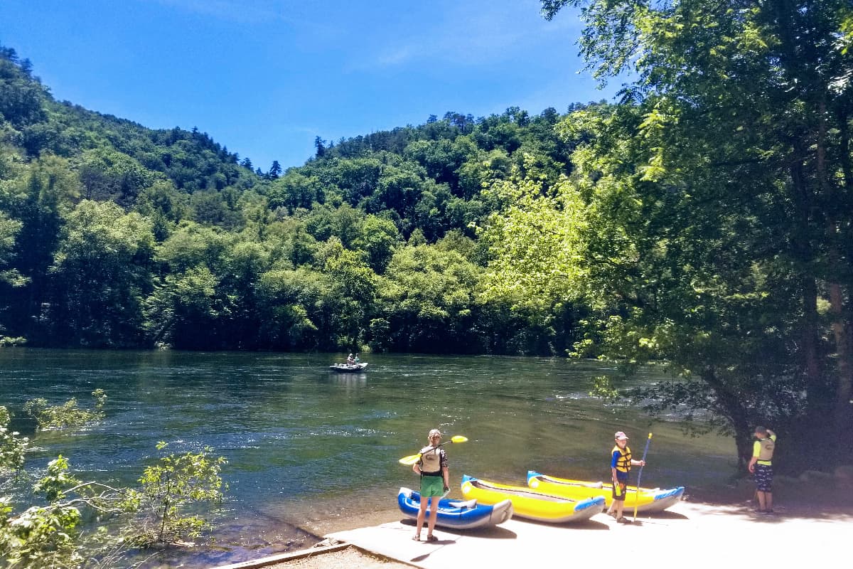
4. Lilly to Nemo
Clear Creek
II-IV
7.2 mi
Current Conditions
5-Day Forecast
Whitewater data from
American Whitewater
American Whitewater